Maud Road - FS 423
Total Miles
3.3
Technical Rating
Best Time
Spring, Summer, Fall, Winter
Trail Type
Full-Width Road
Accessible By
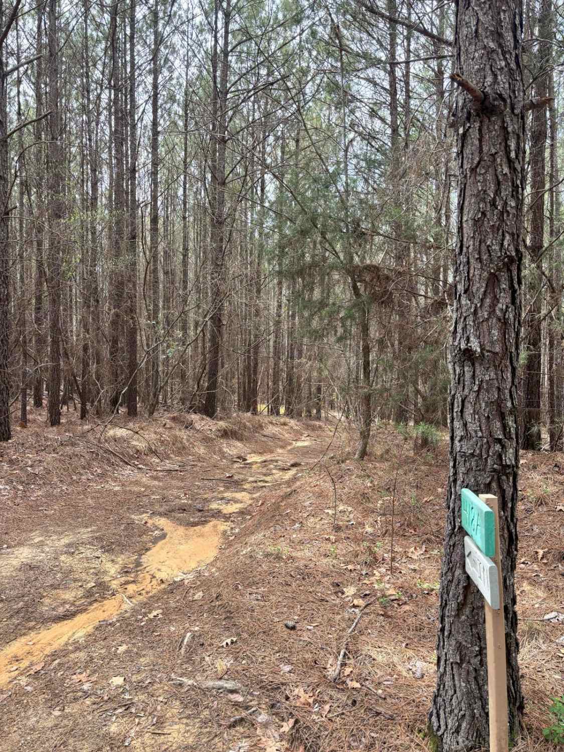
Trail Overview
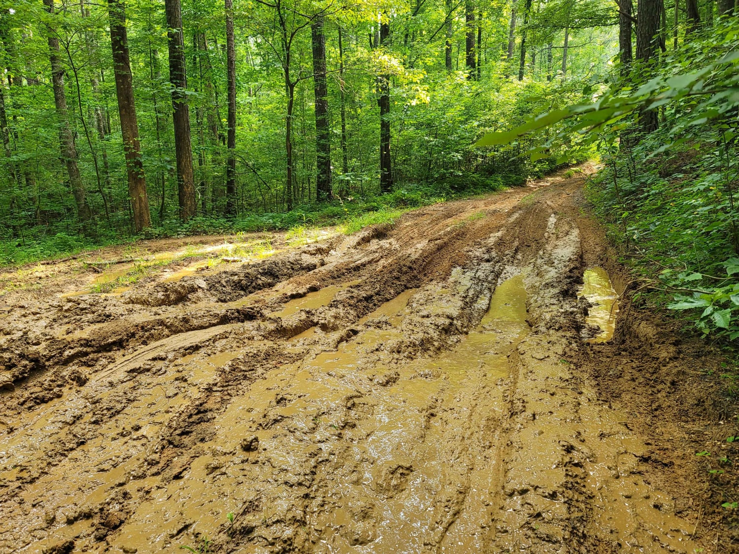
FS 423 is a relatively short trail that crosses a portion of the Talladega National Forest near Centreville, Alabama. Highway 82 provides easy access from the north. Within the Talladega National Forest, camping is not truly dispersed; it must be done at a handful of designated primitive camping areas. The trail contains one of those camping spots. Only street-legal "plated" vehicles are allowed on FS 423. It is a well-graded, cambered road with side drainage. It is mainly hard-packed dirt with some gravel. While not quite two lanes wide, there is adequate room to pass almost everywhere. The trail goes up and down hills along its route through the woods. The low-lying areas can be somewhat muddy after a rain. Near the northwestern end, the hills are a bit steeper and can turn into slippery red clay mud when wet. Under those conditions, it may be difficult for a 2WD with street tires. Near the midpoint of the trail is the designated camping area. On this trail, the camping area is a single circle, big enough for four or five tent sites. It is on a raised area, so it should drain well. This spot is not as large as the camping area on the nearby FS 412, although it does feel a little more secluded. Cell service can be hit or miss, but it's generally decent. There aren't any stores for fuel or food anywhere within the national forest, but there are convenience stores in the surrounding towns. Centreville, which is the largest city in the area, is about 10 miles to the west.
Photos of Maud Road - FS 423


Difficulty
This is a maintained dirt and gravel road. It should present no trouble for 2WD traffic when dry. During wet weather, it can collect mud in the low-lying areas and on the hills at the northern end.
Status Reports
Maud Road - FS 423 can be accessed by the following ride types:
- High-Clearance 4x4
- SUV
- Dirt Bike
Maud Road - FS 423 Map
Popular Trails

USFSR #642 Wade Mtwy

Beer Time
USFSR #515 Watts Mountainway West
The onX Offroad Difference
onX Offroad combines trail photos, descriptions, difficulty ratings, width restrictions, seasonality, and more in a user-friendly interface. Available on all devices, with offline access and full compatibility with CarPlay and Android Auto. Discover what you’re missing today!