Little Coon River Trail
Total Miles
4.2
Technical Rating
Best Time
Winter, Spring, Summer
Trail Type
Full-Width Road
Accessible By
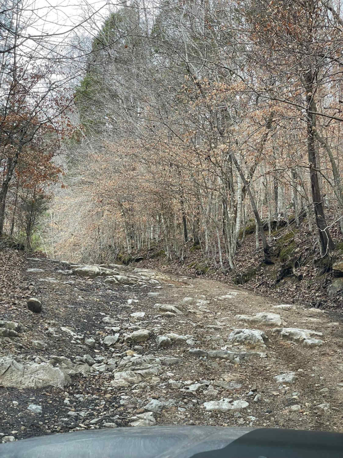
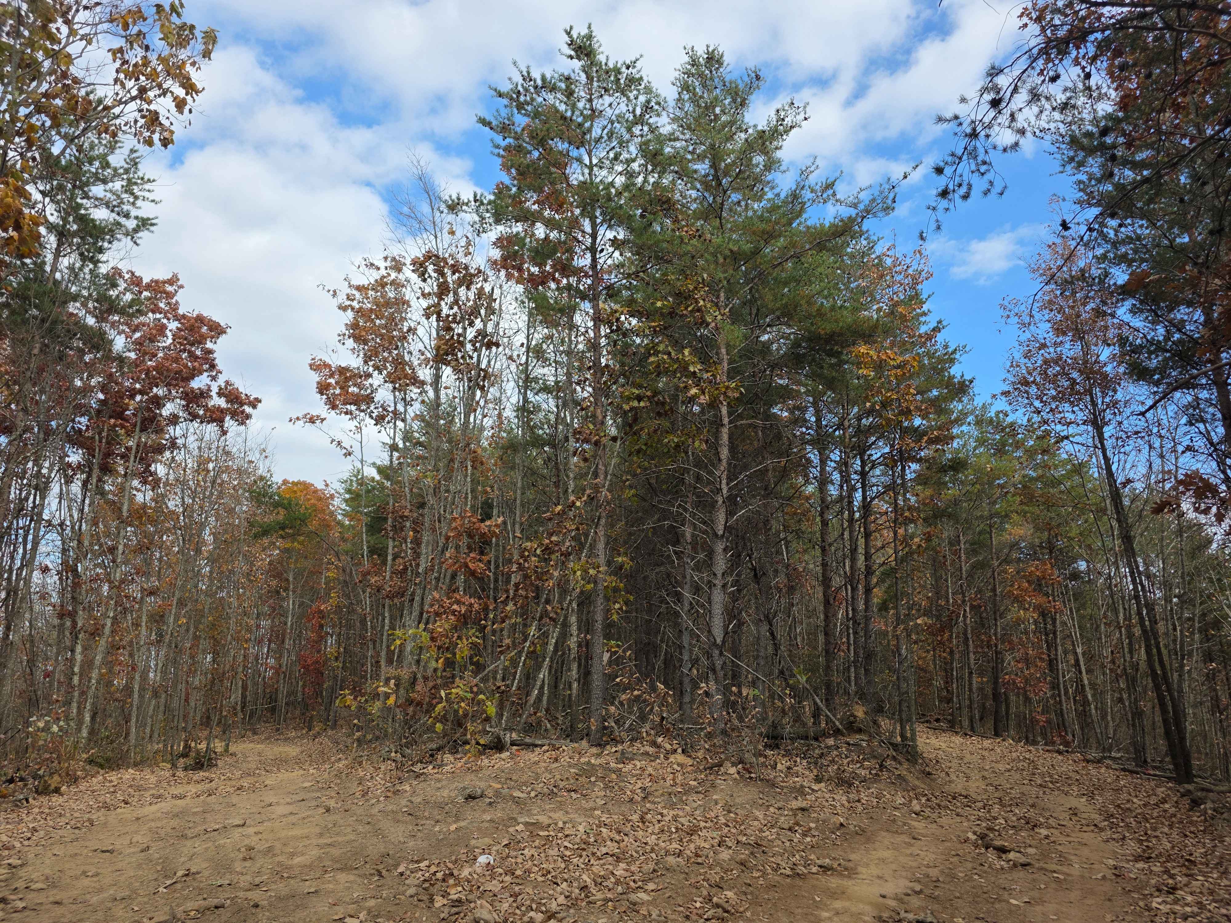
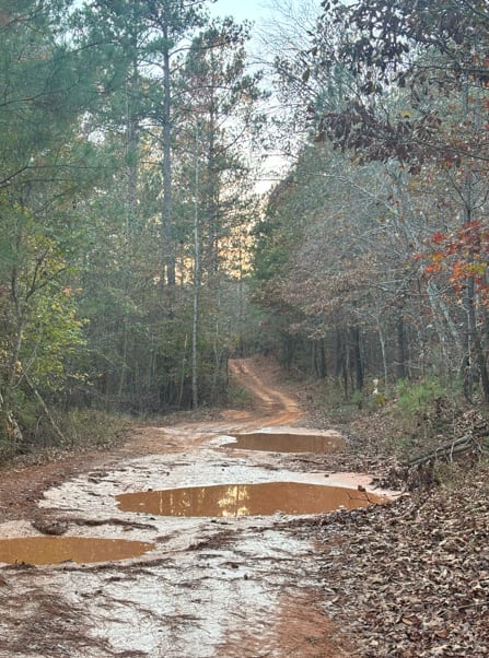
Trail Overview
This trail is I bi-directional trail that connects the start of the James D. Martin Skyline WMA to the Upper Ridge Trail and Mountain Bypass Trail. This is an easy-to-moderate trail with multiple water crossings. The water level is dependent upon the season and the recent rain. More water will be in the creeks during late winter into early spring. Water crossings range from a few inches to 3 feet after heavy rains. The trail consists of mostly a rocky dirt trail with some areas being loose rock mainly around the creeks. The area close to Upper Ridge Trail has a steep elevation change with a few spots having some larger slick rock that can be a tricky area for stock vehicles or vehicles with lower ground clearance. This trail is best experienced in the winter through summer. Fall during hunting season there will be hunters in the area for deer season.
Photos of Little Coon River Trail

Difficulty
The trail is an easy trail to run with any 4x4 vehicle. The trail rating is at 3 due to there not being many areas that would require anything other than 4x4 no area should require lockers. When there has been rain a few areas can become slick due to mud.
Status Reports
Little Coon River Trail can be accessed by the following ride types:
- High-Clearance 4x4
- SUV
Little Coon River Trail Map
Popular Trails
Ridgeside

Wilbur Ford Road - FS 109A

Alafora Road
The onX Offroad Difference
onX Offroad combines trail photos, descriptions, difficulty ratings, width restrictions, seasonality, and more in a user-friendly interface. Available on all devices, with offline access and full compatibility with CarPlay and Android Auto. Discover what you’re missing today!