Kings Gap Mountain Road
Total Miles
1.5
Technical Rating
Best Time
Spring, Summer, Fall, Winter
Trail Type
Full-Width Road
Accessible By
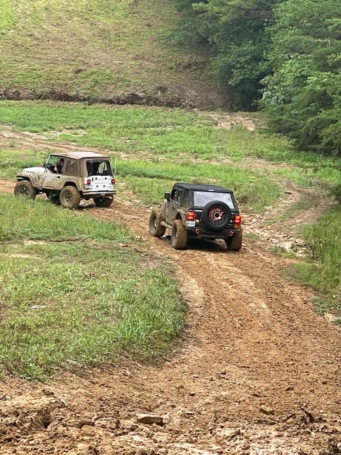
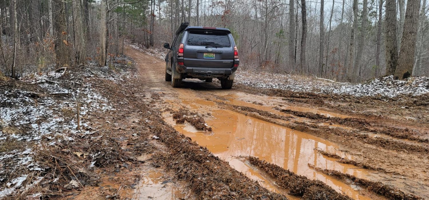
Trail Overview
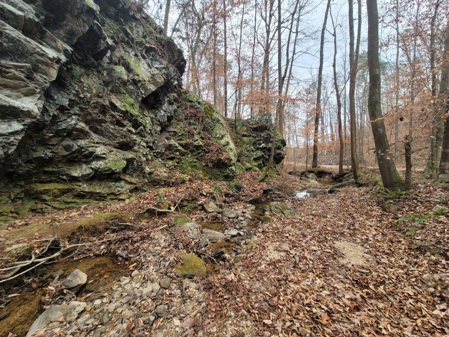
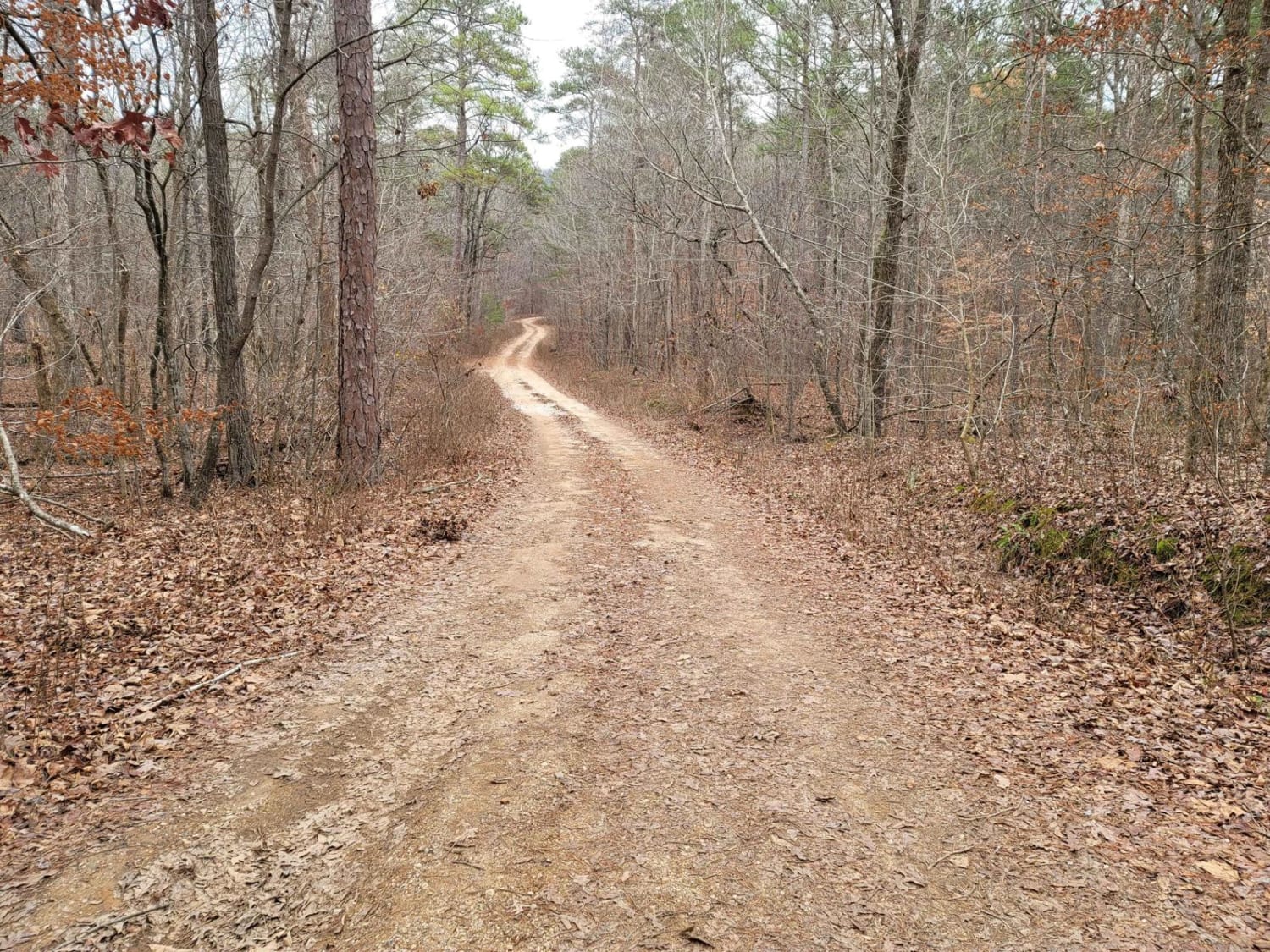
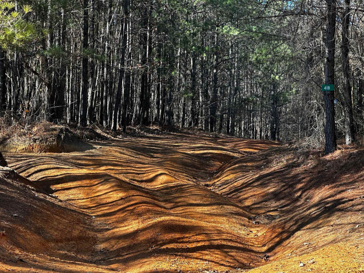
Kings Gap Mountain Road is a gorgeous historical route that cuts through the outside edge of the Dugger Mountain Wilderness Area. This trail features mines and caves, along with beautiful creek beds formed from fast mountain water run-off. The mild inclines and declines can give the average overlander the thrill they have been craving, or the weekend warrior the getaway they have been looking for.
Photos of Kings Gap Mountain Road
Difficulty
While most of the trail is flat, the water run-off can carve deep ruts in the side of the trail and cause erosion. Wider vehicles may have no choice but to drop into the rut to cross the path.
Kings Gap Mountain Road can be accessed by the following ride types:
- High-Clearance 4x4
- SUV
Kings Gap Mountain Road Map
Popular Trails
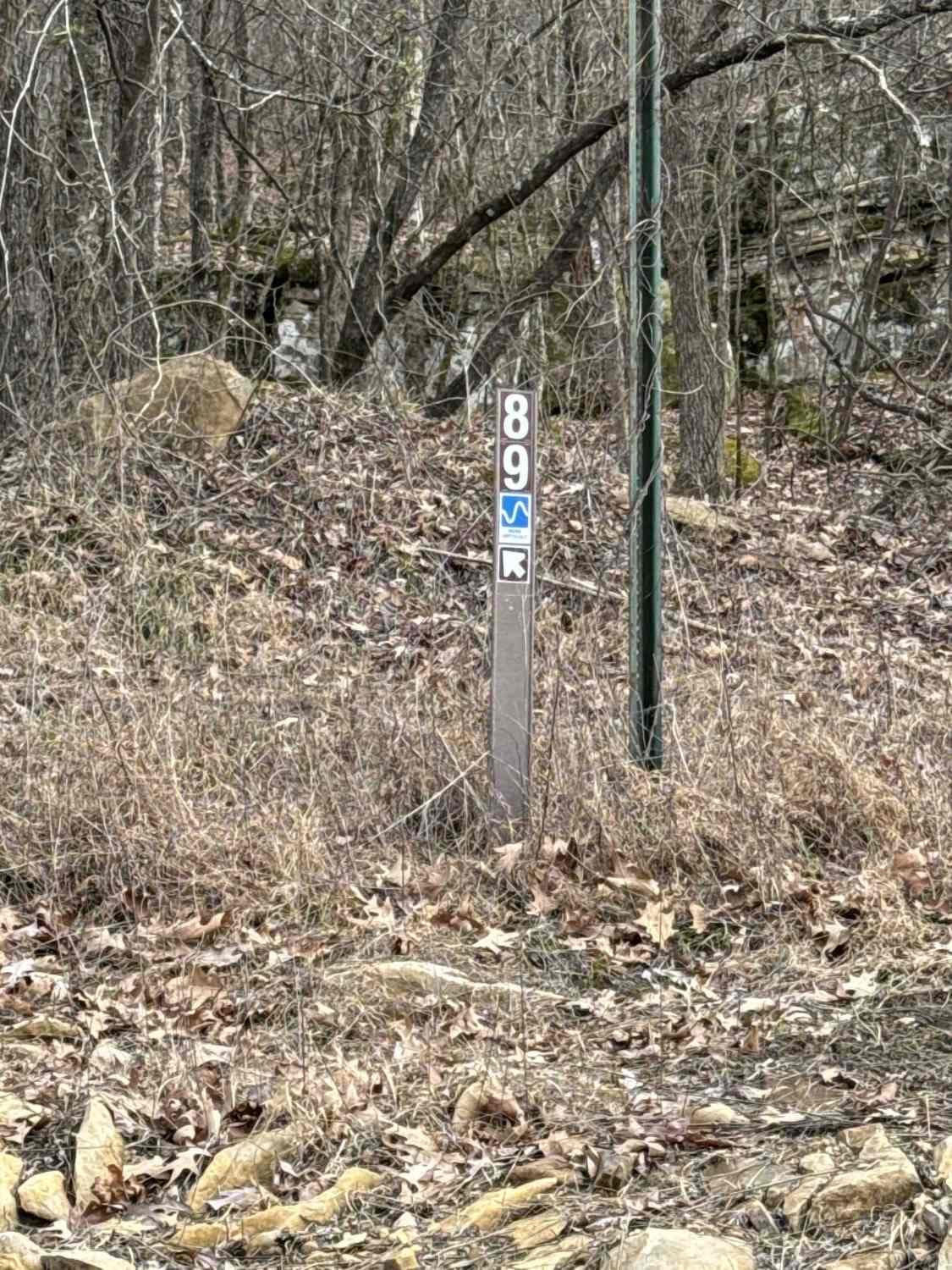
#89 Gobbler's Ridge
Rattlesnake Red Trail
The onX Offroad Difference
onX Offroad combines trail photos, descriptions, difficulty ratings, width restrictions, seasonality, and more in a user-friendly interface. Available on all devices, with offline access and full compatibility with CarPlay and Android Auto. Discover what you’re missing today!