Valle Tranquilo Lower Loop
Total Kilometers
8.2
Technical Rating
Best Time
Spring, Summer, Fall, Winter
Trail Type
Full-Width Road
Accessible By
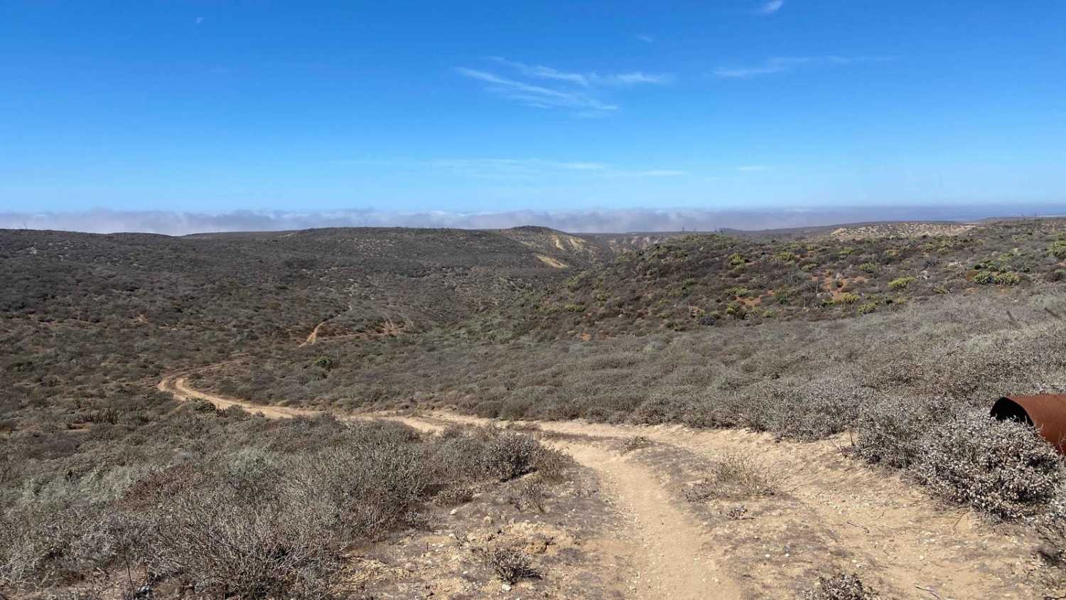
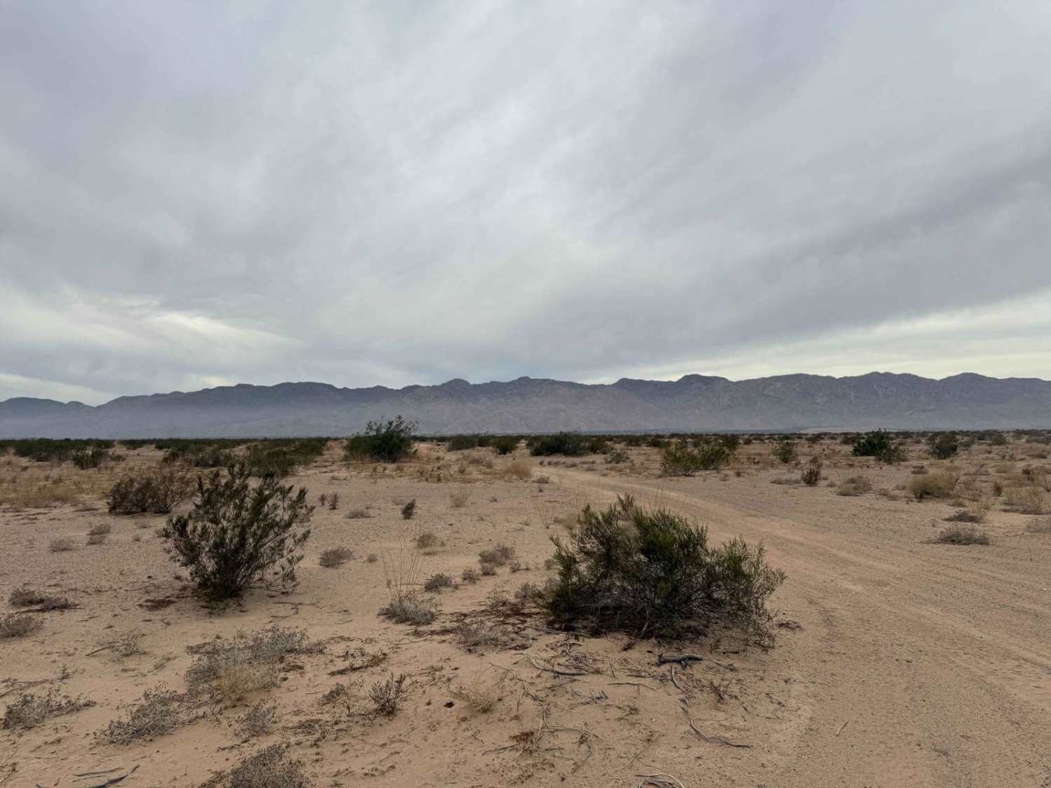
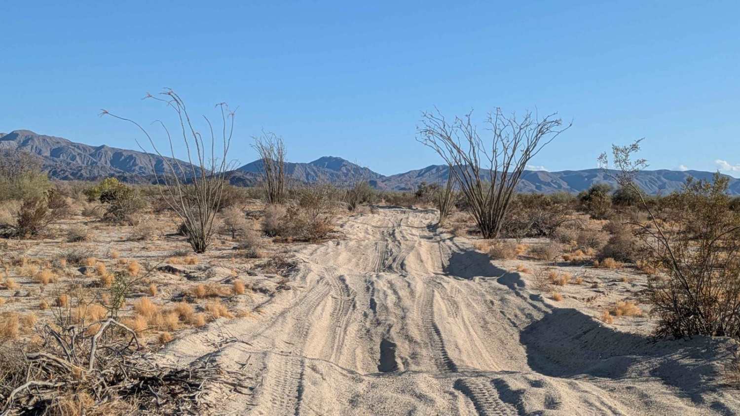
Trail Overview
Branching off from the Valle Tranquilo main trail, this route gradually climbs toward the nature reserve, with the first few miles marked by deep crevices that require careful navigation. Further along, an off-camber section with ruts presents a more technical challenge, demanding precise wheel placement. As the trail ascends to the Mesa, the landscape opens up before it veers left into the lower canyon. The descent can be faint in places due to light use, leading to a steep, rocky drop. After navigating this final descent, you'll pass heavy equipment and a cement plant before the trail merges with Highway 1.
Photos of Valle Tranquilo Lower Loop

Difficulty
In the first mile or two of this off-road trail, there are a couple of challenging sections that require precise handling. One area features deep ruts on the left, and another presents an off-camber slope with additional ruts, both demanding careful wheel placement to navigate safely. As you descend into the lower canyon, a steep, rocky grade awaits, necessitating 4WD for the ascent or slow, deliberate navigation on the way down. Beyond these obstacles, the route is generally straightforward under dry conditions.
Status Reports
Valle Tranquilo Lower Loop can be accessed by the following ride types:
- High-Clearance 4x4
- SUV
- SxS (60")
- ATV (50")
- Dirt Bike
Valle Tranquilo Lower Loop Map
Popular Trails

Monte Ceniza Nature Reserve
Race Course Route W
Cresta de Cresota !Vaya!

Mision Santo Domingo Canyon
The onX Offroad Difference
onX Offroad combines trail photos, descriptions, difficulty ratings, width restrictions, seasonality, and more in a user-friendly interface. Available on all devices, with offline access and full compatibility with CarPlay and Android Auto. Discover what you’re missing today!