Valle de los Cirios
Total Kilometers
214.2
Technical Rating
Best Time
Spring, Fall, Winter, Summer
Trail Type
Full-Width Road
Accessible By
Trail Overview
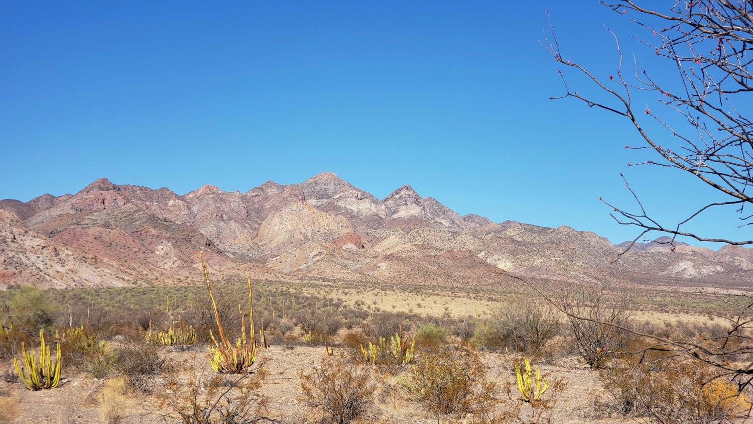
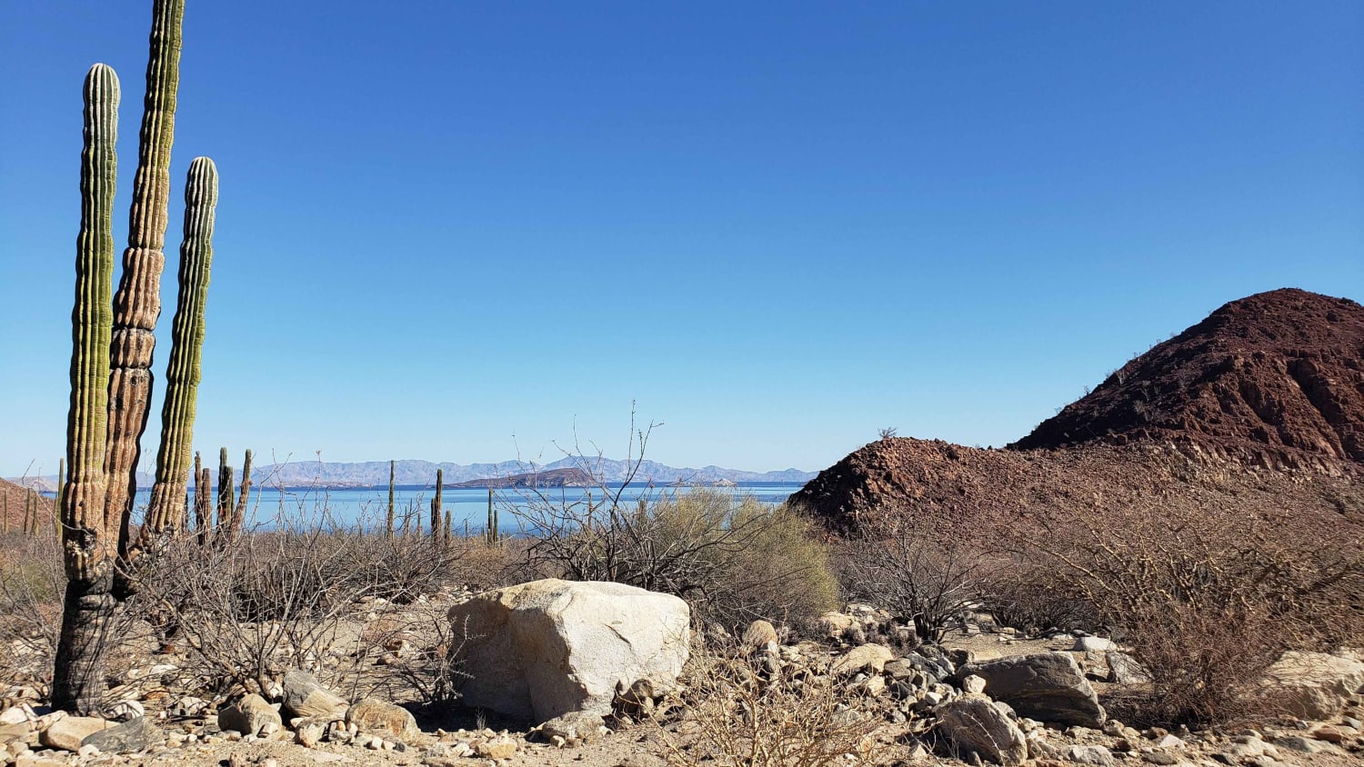
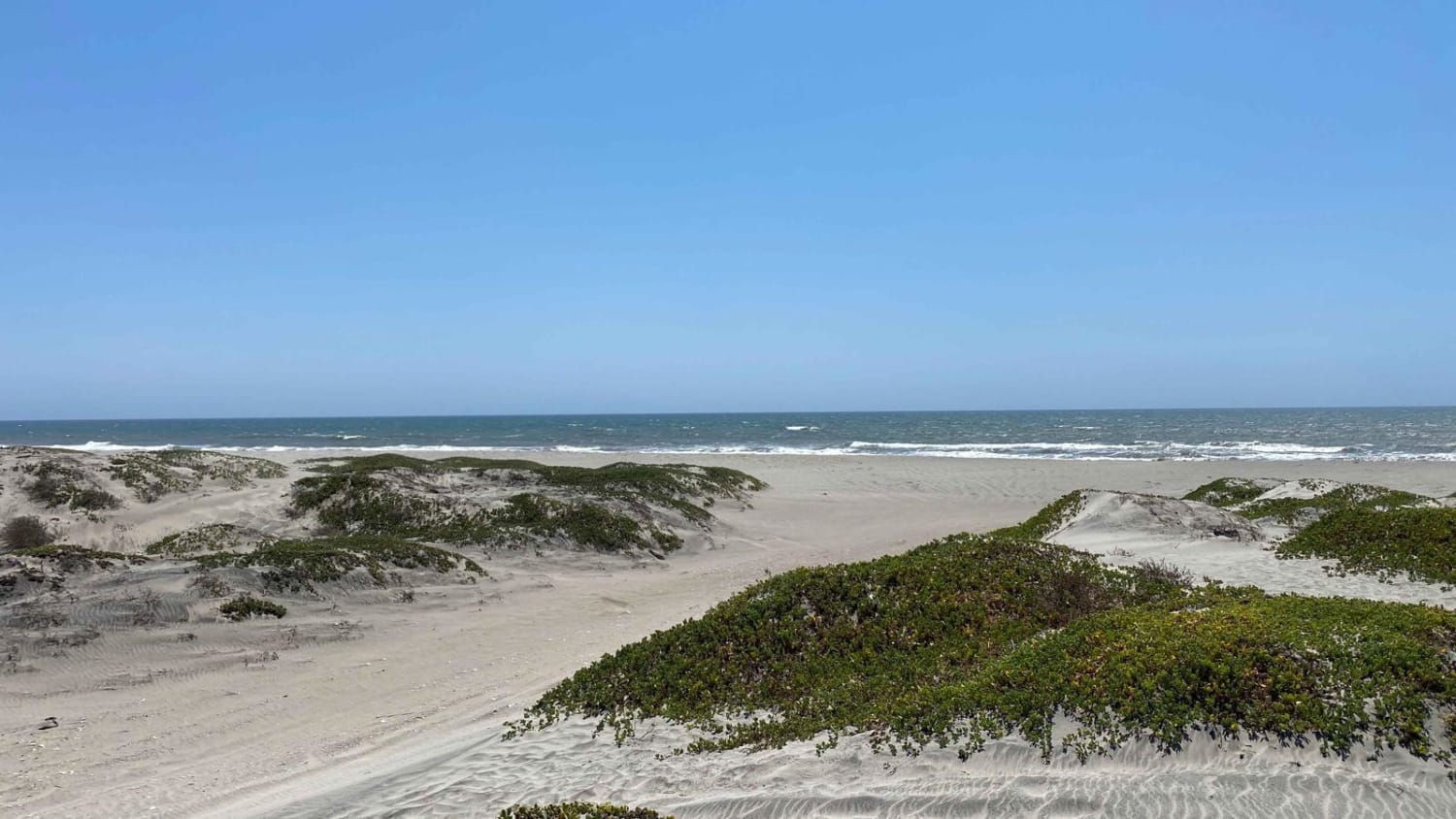
Traveling from Bahia de los Angeles back to the 1 near Benito Juarez. This route follows some old Baja 1000 tracks at points and terrain varies from rough rocky sections to sand. The route passes by Bahia San Rafael near the midpoint with beach access opportunities. No cell service, fuel or resupply opportunities existed throughout the route. Towering cactus and desert plant life throughout with mountain to baron desert views. Many intersections, side trails opportunities to further explore along the route.
Photos of Valle de los Cirios
Difficulty
some loose rocky hill climbs fast sandy stretches and sections low eroded sections from flash flooding
Status Reports
Valle de los Cirios can be accessed by the following ride types:
- High-Clearance 4x4
- SUV
Valle de los Cirios Map
Popular Trails

Salt Flats Pabellon

Erendira Highway to Coastal Route South

Laguna Hanson to El Compadre
Playa San Ramon & Laguna Figueroa
The onX Offroad Difference
onX Offroad combines trail photos, descriptions, difficulty ratings, width restrictions, seasonality, and more in a user-friendly interface. Available on all devices, with offline access and full compatibility with CarPlay and Android Auto. Discover what you’re missing today!