South of Cerro Blanco
Total Kilometers
9.8
Technical Rating
Best Time
Spring, Fall, Winter
Trail Type
Full-Width Road
Accessible By
Trail Overview
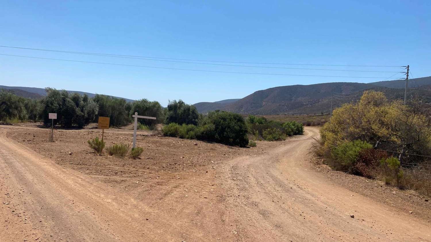
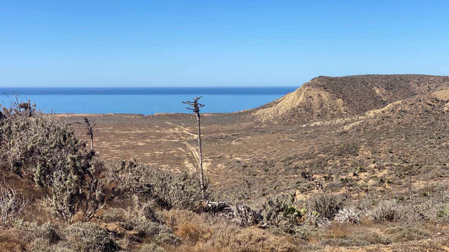
The trail starts just south of the road from San Vicente to the coast, with a rough, washboard surface at the beginning that improves as you go. Although bumpy in spots, the road is well-maintained and acts as a connection to a southern route with some scenic views. After the rough sections, you'll pass through olive groves and cattle ranches. Unfortunately, the route that continues on the map ends at a closed gate before it can be fully explored. To reach Highway 1 without backtracking, take a left onto the Rancho Juan Trail, which will lead you back to the highway.
Photos of South of Cerro Blanco

Difficulty
This trail can be accessed by any high clearance vehicle.
Status Reports
South of Cerro Blanco can be accessed by the following ride types:
- High-Clearance 4x4
- SUV
- SxS (60")
- ATV (50")
- Dirt Bike
South of Cerro Blanco Map
Popular Trails

Rancho Juan Road
Valle Tranquilo

12 South Loop

Presa El Corizzo
The onX Offroad Difference
onX Offroad combines trail photos, descriptions, difficulty ratings, width restrictions, seasonality, and more in a user-friendly interface. Available on all devices, with offline access and full compatibility with CarPlay and Android Auto. Discover what you’re missing today!