Valle Tranquilo
Total Kilometers
13.0
Technical Rating
Best Time
Spring, Fall, Winter, Summer
Trail Type
Full-Width Road
Accessible By
Trail Overview
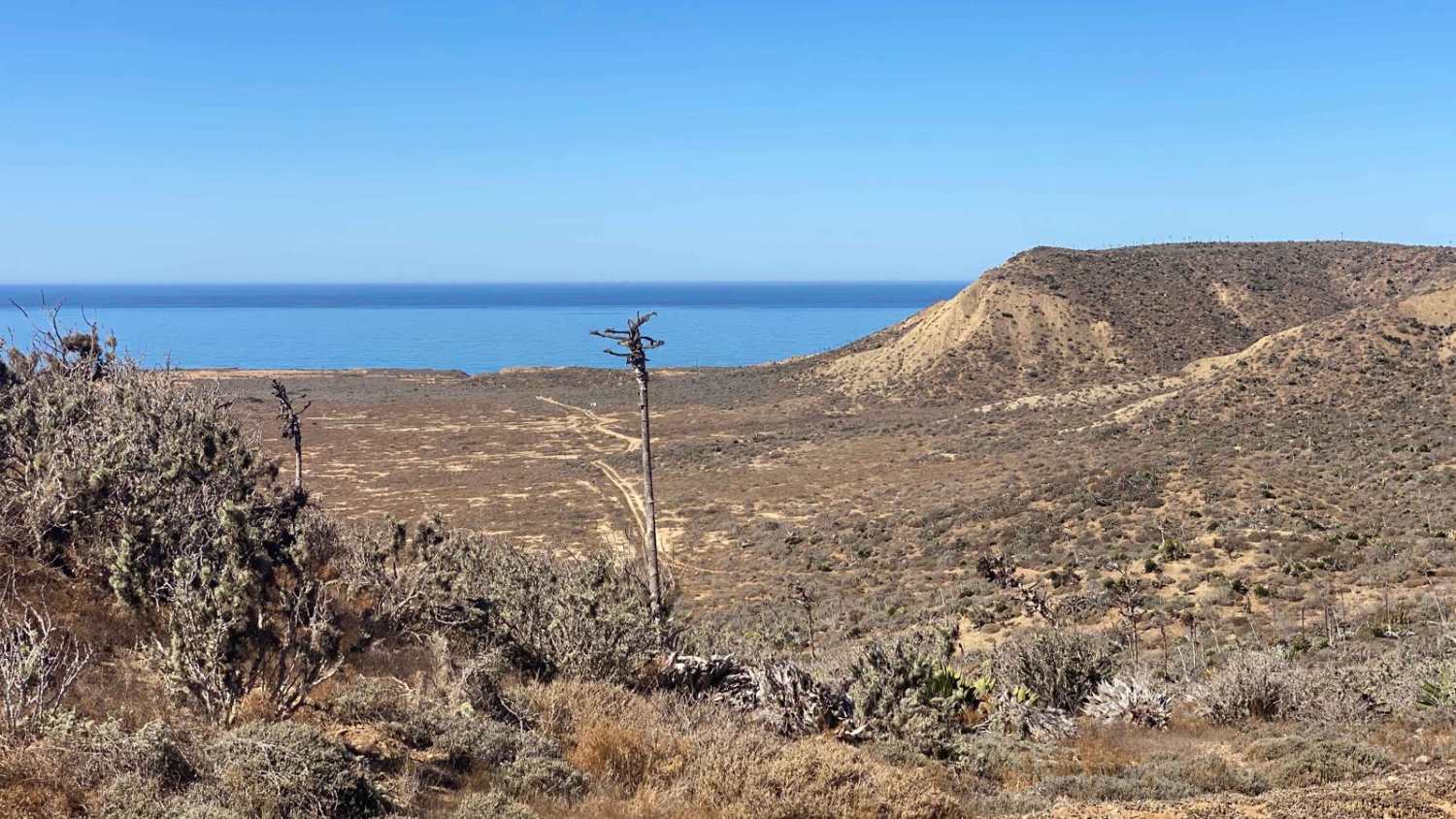
This off-road trail, starting near the coast and Highway 1, offers a dynamic adventure into a remote nature reserve. The journey begins with a calm, winding road that gradually ascends into a serene valley, allowing you to soak in the stunning desert landscape. The first few miles are relatively gentle, but the terrain soon becomes more challenging. About two miles in, a steep, off-camber section looms with a deep crevice on the left and several large holes that could easily engulf a four-wheeler. As you navigate the canyon, the ascent is so subtle that it's barely noticeable. The trail alternates between smoother stretches, where you can pick up speed, and rugged, bumpy sections filled with crevices and river rocks that demand careful maneuvering. Along the way, you'll pass a few intriguing, isolated buildings, and as you near the end of the trail, you'll skirt a corral oddly filled with small fishing boats or pangas.
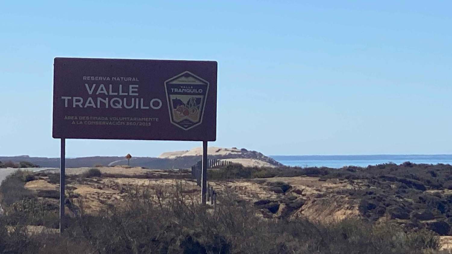
Photos of Valle Tranquilo
Difficulty
While this route isn't overly challenging, there is one off-camber section that demands close attention. The trail slopes sharply to the left, with a deep rain rut running alongside, requiring precise wheel placement to navigate safely. Beyond this, the trail is relatively straightforward, with four-wheel drive only necessary for tackling a few steep, loose climbs scattered along the way.
Status Reports
Valle Tranquilo can be accessed by the following ride types:
- High-Clearance 4x4
- SUV
- SxS (60")
- ATV (50")
- Dirt Bike
Valle Tranquilo Map
Popular Trails

Cerro Las Pinitas

Mexicali Orange

El Compadre North to Laguna Hanson Crossover
The onX Offroad Difference
onX Offroad combines trail photos, descriptions, difficulty ratings, width restrictions, seasonality, and more in a user-friendly interface. Available on all devices, with offline access and full compatibility with CarPlay and Android Auto. Discover what you’re missing today!