La Lobera
Total Kilometers
5.1
Technical Rating
Best Time
Spring, Fall, Winter
Trail Type
Full-Width Road
Accessible By
Trail Overview
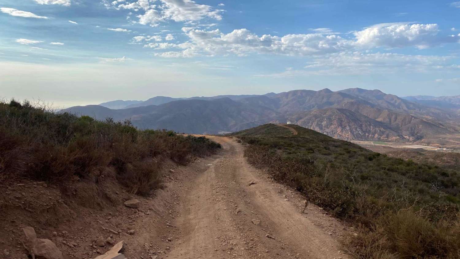
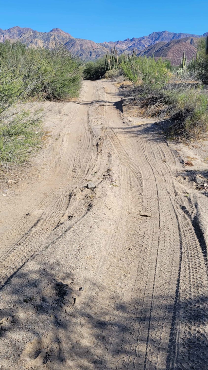
This is a short dirt road from the Mex 1 highway to the scenic viewpoint of La Lobera near El Rosario, Baja California. La Lobera is a natural cave on the coastline that looks like a giant crater with an archway out to the ocean and sea lions living on the hidden beach beneath it. Visiting La Lobera is an extremely unique geological experience and definitely a highlight of visiting Baja. The road is bumpy, and uneven, with some small loose rocks, and steep sections, and has several sections of very deep ruts from erosion. The road often splits into several sections running parallel to each other to avoid these sections of deep ruts. The section with the worst ruts has a detour around it that goes into and out of a wash. Most of the ruts can be avoided, but four-wheel drive and high clearance is definitely required to get through the entire length of the road. There are several signs for La Lobera to help you follow the route. There is a sign on the highway, another halfway in, and a very small sign pointing to the detour around the worst section of ruts. The road is easy to follow because it follows the power lines all the way from the highway to the destination. At the end of the route, the road drops down to the coast and an old fishing station that has a public toilet and sells sodas, and the La Lobera is free to visit.
Photos of La Lobera
Difficulty
There are no obstacles on this road, but several sections of deep ruts and erosion make it slightly more difficult than an easy dirt road, and four-wheel drive and high clearance are definitely recommended
Status Reports
La Lobera can be accessed by the following ride types:
- High-Clearance 4x4
- SUV
- SxS (60")
- ATV (50")
- Dirt Bike
La Lobera Map
Popular Trails

Cerro Las Pinitas

Bahia de las Animas

Cascabel Crossover

Scenic Road to Rancho Alamar
The onX Offroad Difference
onX Offroad combines trail photos, descriptions, difficulty ratings, width restrictions, seasonality, and more in a user-friendly interface. Available on all devices, with offline access and full compatibility with CarPlay and Android Auto. Discover what you’re missing today!

