La Vivora
Total Kilometers
24.3
Technical Rating
Best Time
Spring, Summer, Fall, Winter
Trail Type
Full-Width Road
Accessible By
Trail Overview
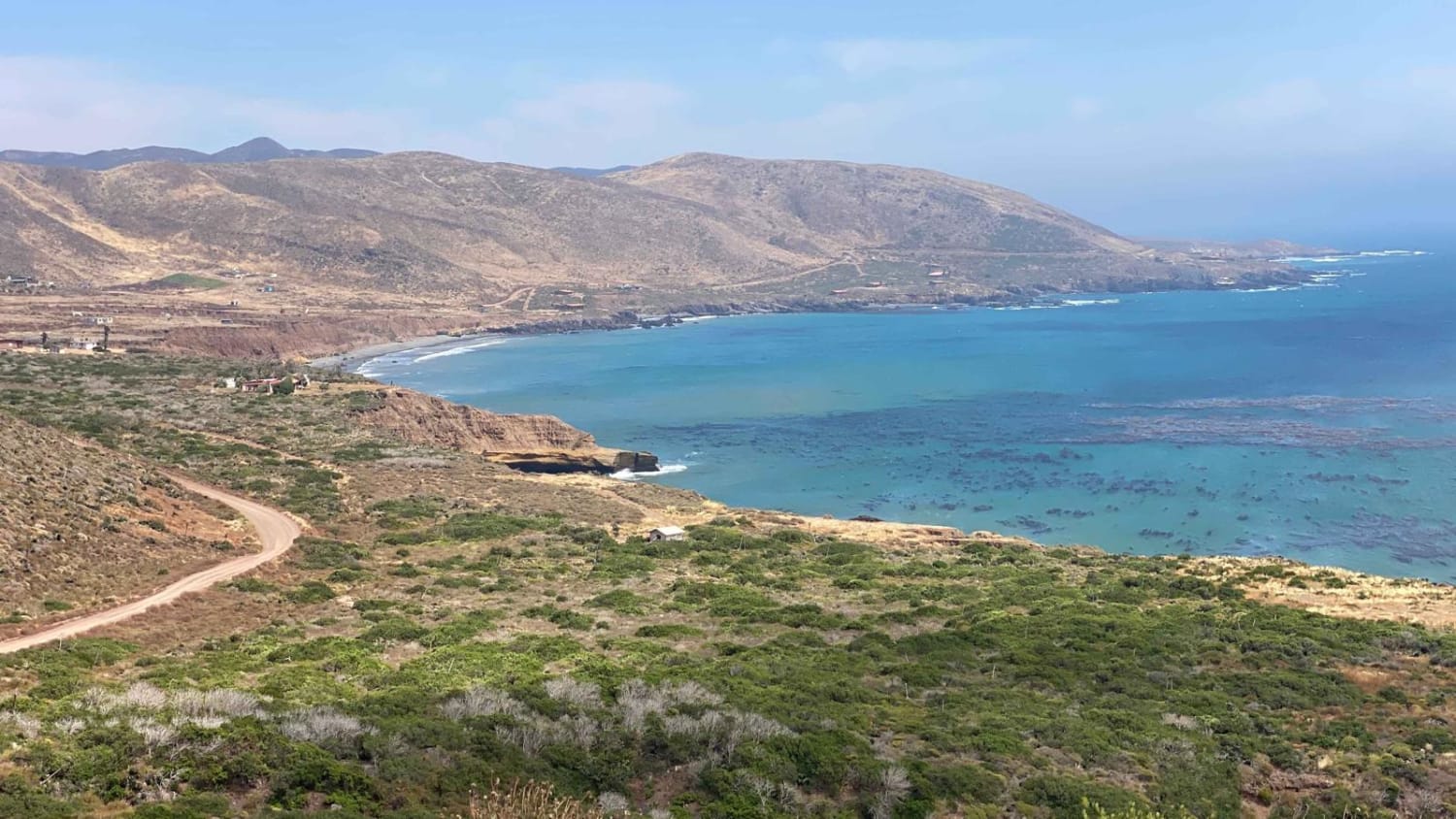
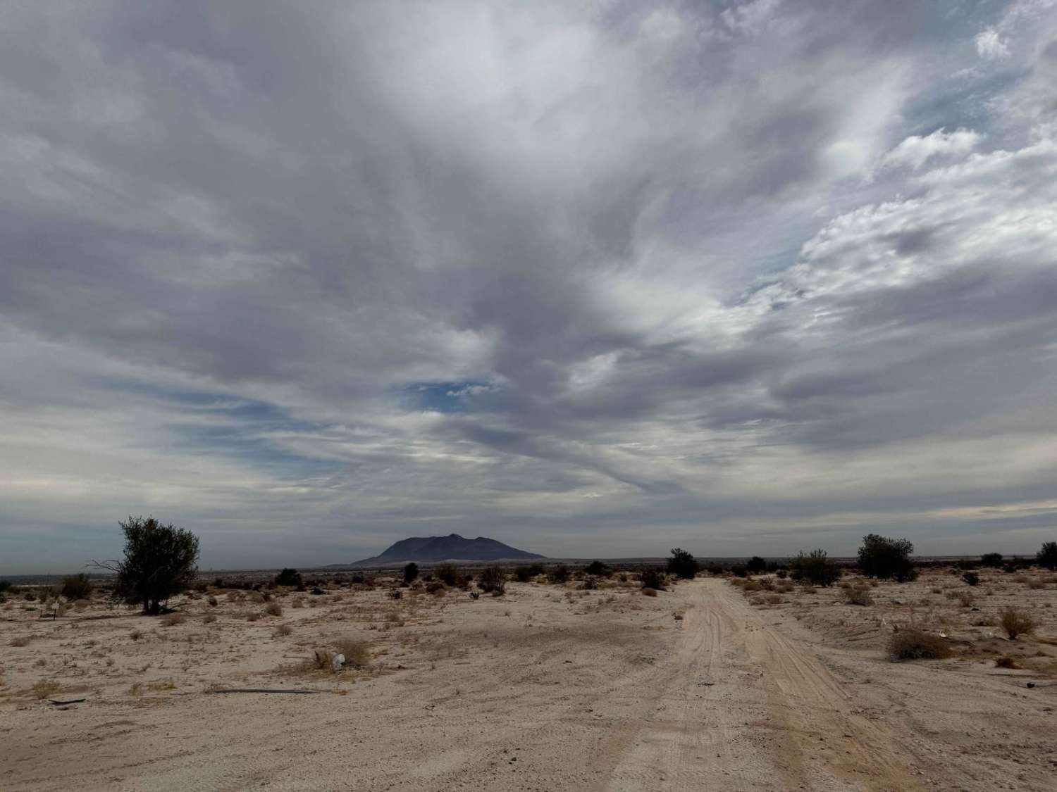
This trail offers breathtaking views and diverse desert vegetation along its path. Shortly after beginning, you'll encounter a gate that needs to be opened and closed behind you. Keep to the left to stay on the designated trail, as private property lies to the right. As you pass through a unique Boojum tree forest, you'll reach a sharp right turn that signals the start of a steep climb from sea level to around 1,500 feet, adding a touch of challenge to the route. Managing speed on this ascent is essential, as you'll navigate slippery sections and carefully position your wheels to avoid deep ruts left by previous SCORE races. After emerging from the canyon, the trail features a mix of short, rugged ascents and descents, eventually leading to a major intersection where you'll have three paths to explore. A right turn here will take you back to Highway 1.
Photos of La Vivora


Difficulty
This trail features steep climbs with deep ruts and loose rocks, requiring careful wheel placement and controlled speed to navigate the most challenging sections and reach the mesa above the canyon. Wet conditions or the aftermath of a rare storm can make climbing out of the canyon especially difficult.
Status Reports
La Vivora can be accessed by the following ride types:
- High-Clearance 4x4
- SUV
- SxS (60")
- ATV (50")
- Dirt Bike
La Vivora Map
Popular Trails
Mision Santa Gertrudis La Magna
Punta de Casa Muerta

West Crossover
The onX Offroad Difference
onX Offroad combines trail photos, descriptions, difficulty ratings, width restrictions, seasonality, and more in a user-friendly interface. Available on all devices, with offline access and full compatibility with CarPlay and Android Auto. Discover what you’re missing today!