Punta Abreojos to Campo Rene Peninsula
Total Kilometers
17.2
Technical Rating
Best Time
Spring, Summer, Fall, Winter
Trail Type
Full-Width Road
Accessible By
Trail Overview
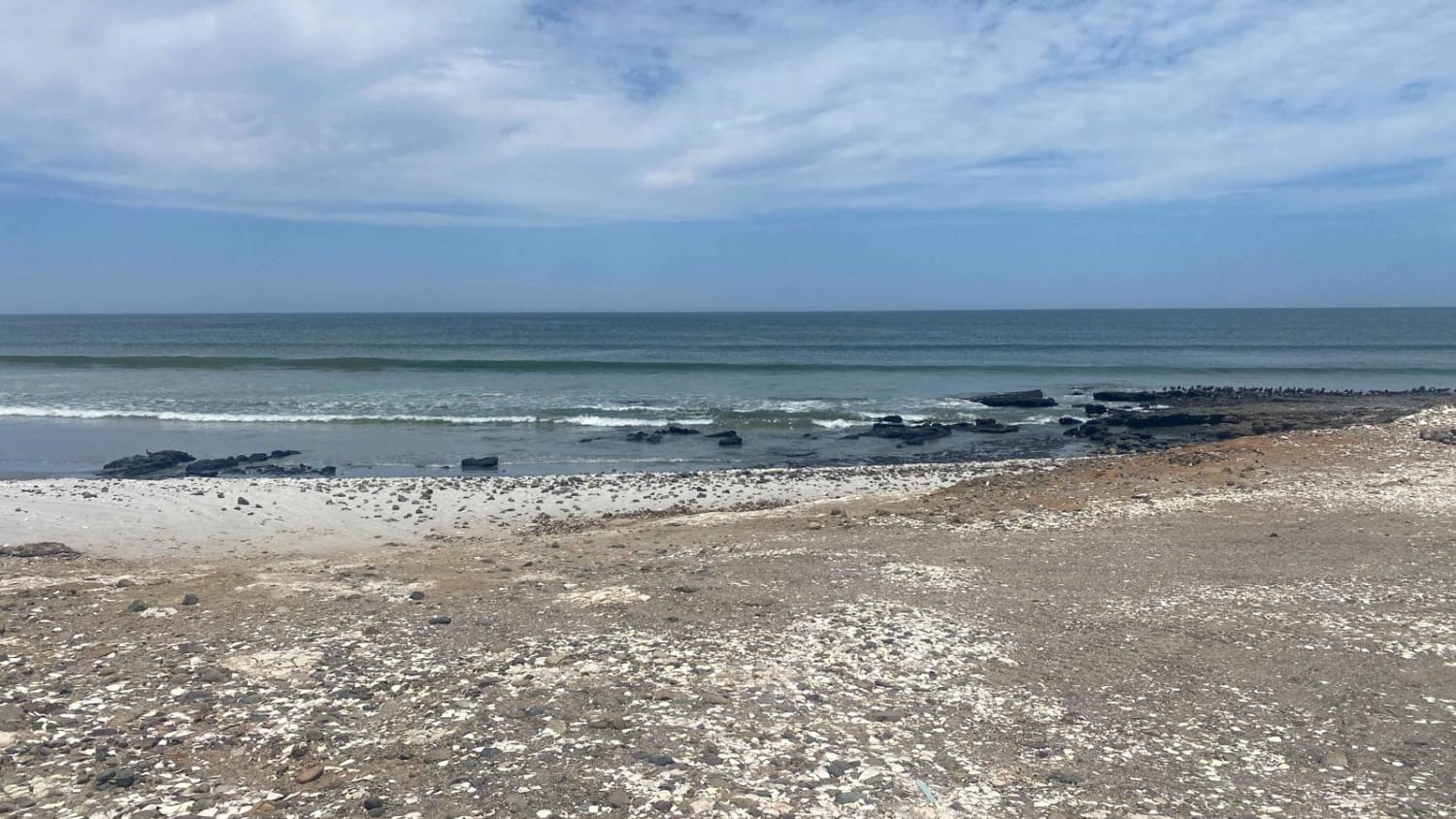
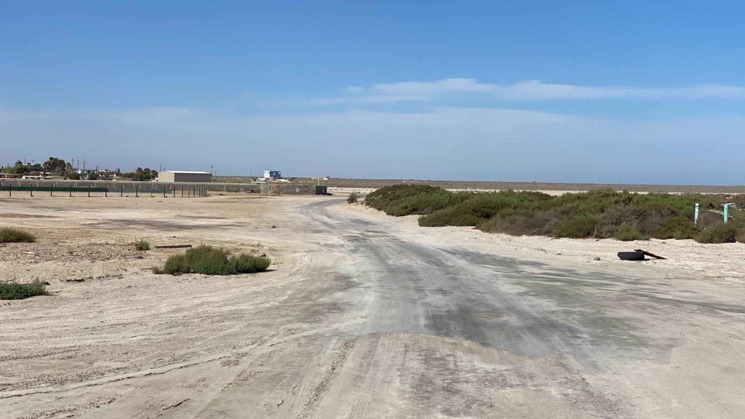
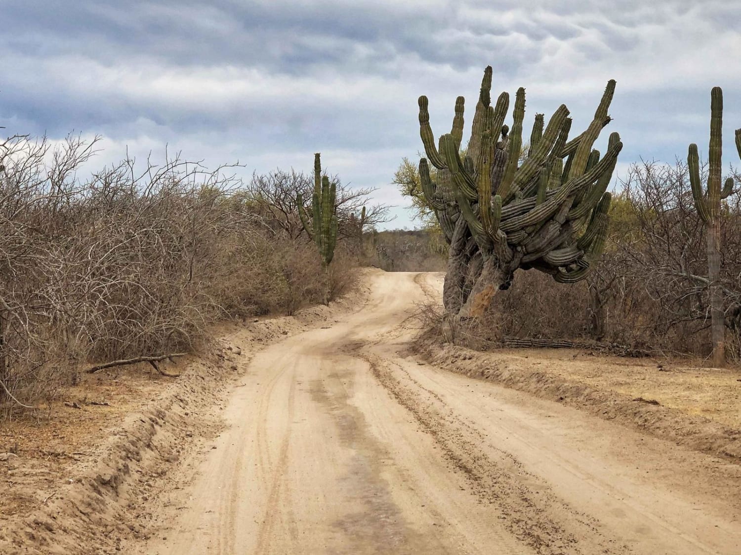
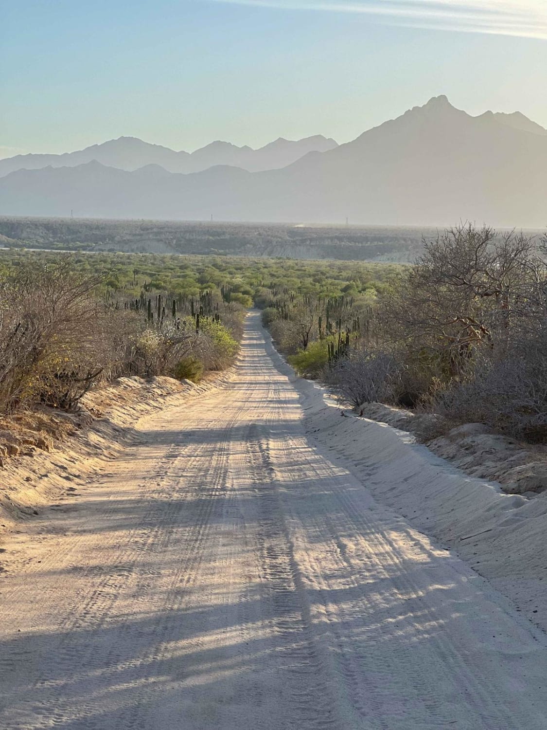
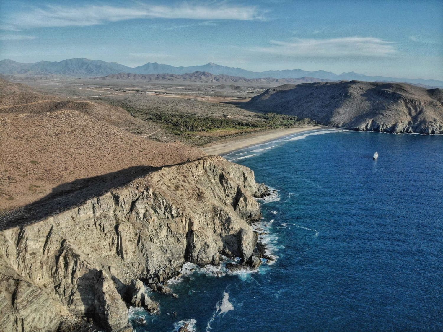
This coastal route offers an alternative to the nearby paved highway, leading you all the way to the tip of the peninsula. If you'd like to err on the side of caution and avoid sandy areas, you can opt for the paved highway until it diverges from this route. From there, you can seamlessly merge onto the smoother peninsula portion. Along the journey, you'll come across multiple access points with two-track trails leading to the beach, offering opportunities to enjoy the day or set up camp. However, be cautious of driving on sandy terrain and take note of the tides and waterline to ensure a safe trip. As you approach the end of the route, you'll encounter a well-known paid camping area called Camp Rene, providing a wonderful spot to stay and immerse yourself in the natural surroundings. If you choose to continue a bit further, you'll reach the fishing COOP land, where you can park your vehicle and relish the experience of observing the local wildlife.
Photos of Punta Abreojos to Campo Rene Peninsula
Difficulty
This route is relatively easy and can be navigated without the need for 4WD. However, if you are driving a 2WD vehicle, be cautious of a few sandy wash crossings. Pay attention to the sandy areas near the beach, and keep in mind that the conditions might become more challenging after storm surges or rainfall.
Status Reports
Punta Abreojos to Campo Rene Peninsula can be accessed by the following ride types:
- High-Clearance 4x4
- SUV
- SxS (60")
- ATV (50")
- Dirt Bike
Punta Abreojos to Campo Rene Peninsula Map
Popular Trails
Santa Anita
Las Palmas Beach

Camino de Lavado Empinado
The onX Offroad Difference
onX Offroad combines trail photos, descriptions, difficulty ratings, width restrictions, seasonality, and more in a user-friendly interface. Available on all devices, with offline access and full compatibility with CarPlay and Android Auto. Discover what you’re missing today!