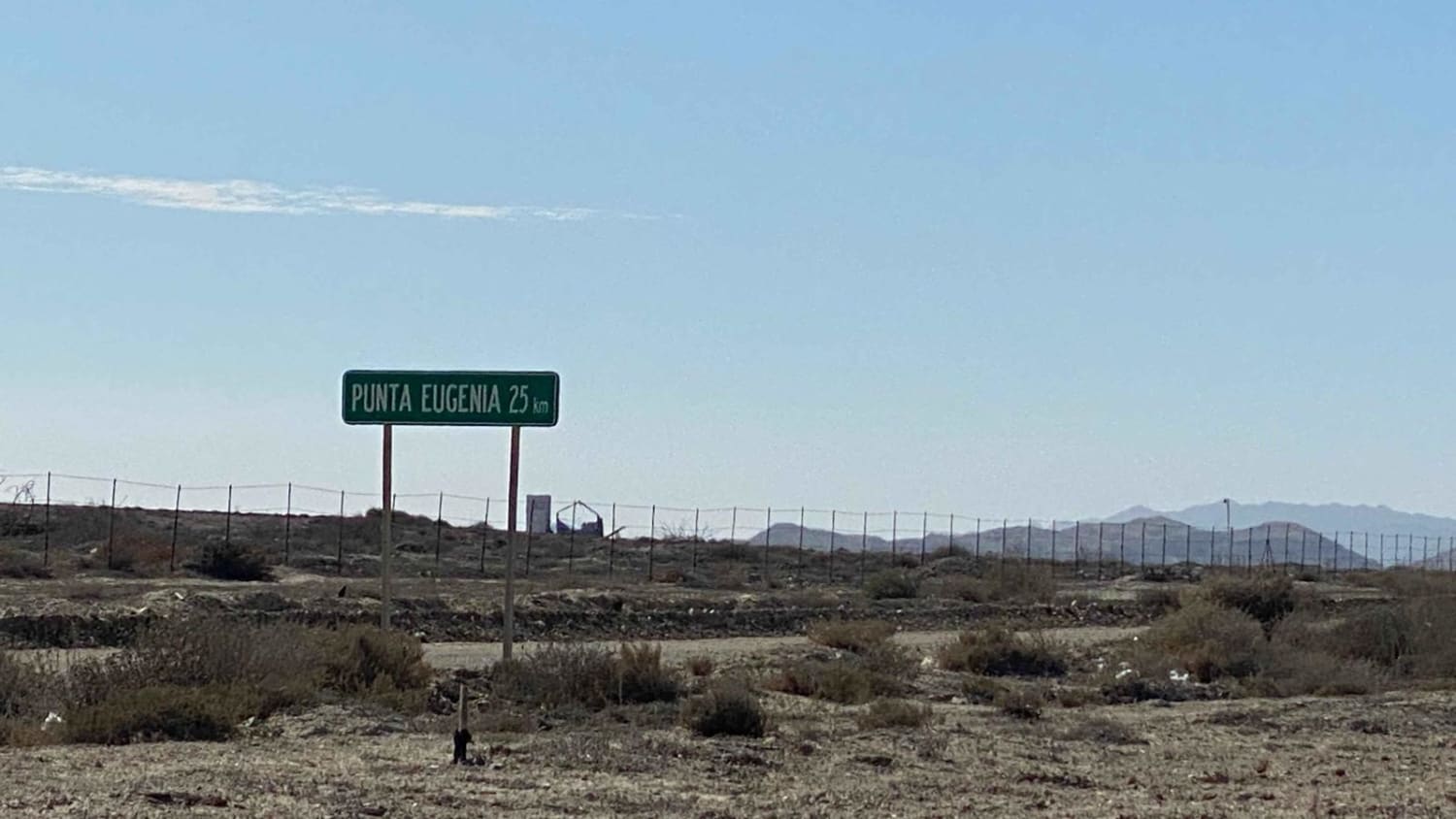
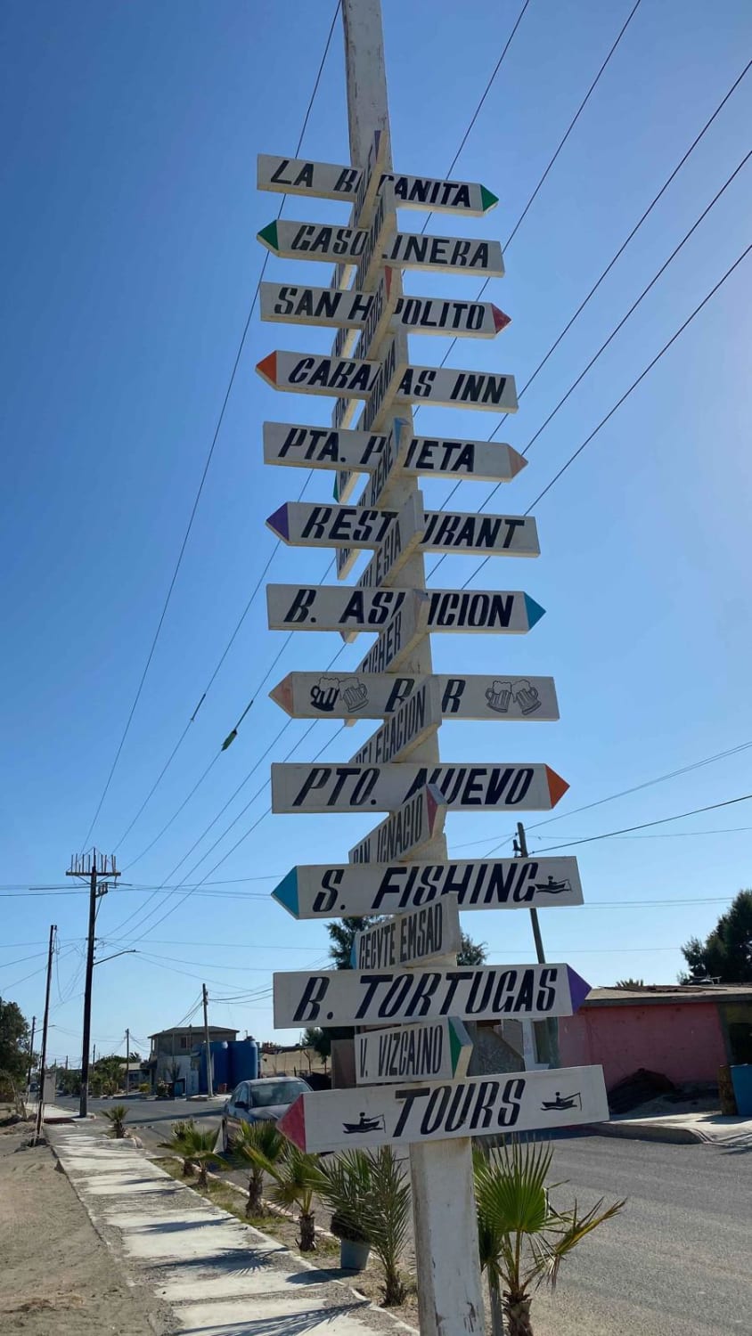
Bahia Tortugas to Punta Eugenia
Total Kilometers
56.1
Technical Rating
Best Time
Spring, Summer, Fall, Winter
Trail Type
Full-Width Road
Accessible By
Trail Overview
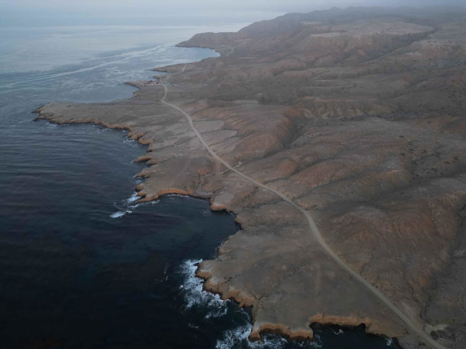
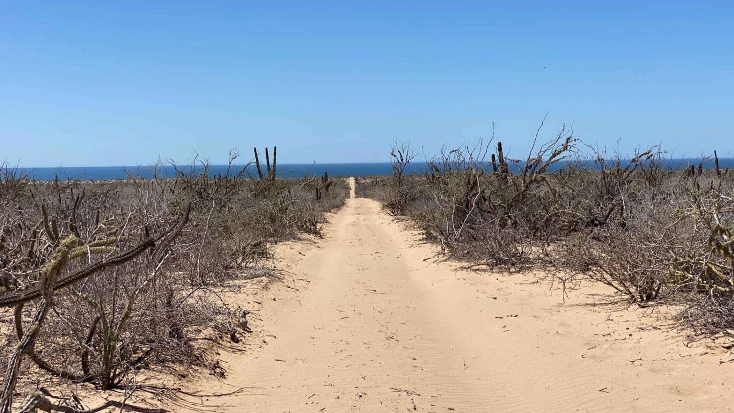
This route is a straightforward graded road that allows easy access for all types of vehicles. As you depart from Bahia Tortugas, you'll encounter the local landfill, which may not be the most pleasant sight. However, the road quickly transitions into a smooth and undulating path, offering an enjoyable driving experience with minimal washboard sections. Upon reaching the coastline and the charming village, you'll realize that the journey was well worth your time. Continuing along the road that runs parallel to the coast, you'll be treated to breathtaking views, particularly during sunset. Along the way, there are several picturesque spots near the ocean where you can camp. Eventually, the route ends at an observation shack.
Photos of Bahia Tortugas to Punta Eugenia
Difficulty
This route is exceptionally easy to navigate, accommodating vehicles of all kinds.
Status Reports
Bahia Tortugas to Punta Eugenia can be accessed by the following ride types:
- High-Clearance 4x4
- SUV
- SxS (60")
- ATV (50")
- Dirt Bike
Bahia Tortugas to Punta Eugenia Map
Popular Trails
Coastal Route Punta Prieta to Estero de La Bocana

Southeast of 22
Middle Playa 1

Camino De Auga Blanco
The onX Offroad Difference
onX Offroad combines trail photos, descriptions, difficulty ratings, width restrictions, seasonality, and more in a user-friendly interface. Available on all devices, with offline access and full compatibility with CarPlay and Android Auto. Discover what you’re missing today!