Lomita Amarilla Coastal
Total Kilometers
15.0
Technical Rating
Best Time
Fall, Winter, Spring
Trail Type
Full-Width Road
Accessible By
Trail Overview
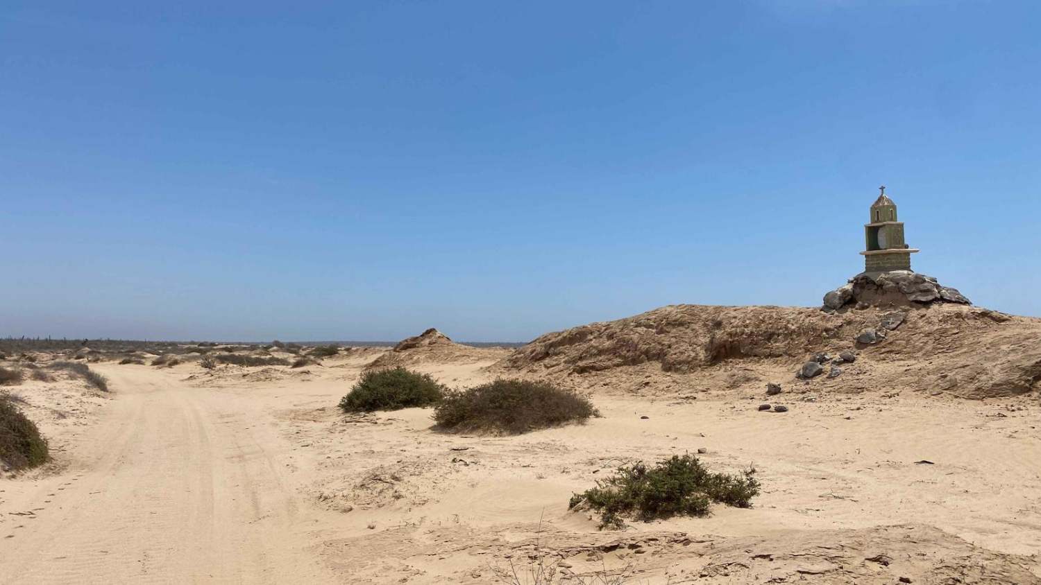
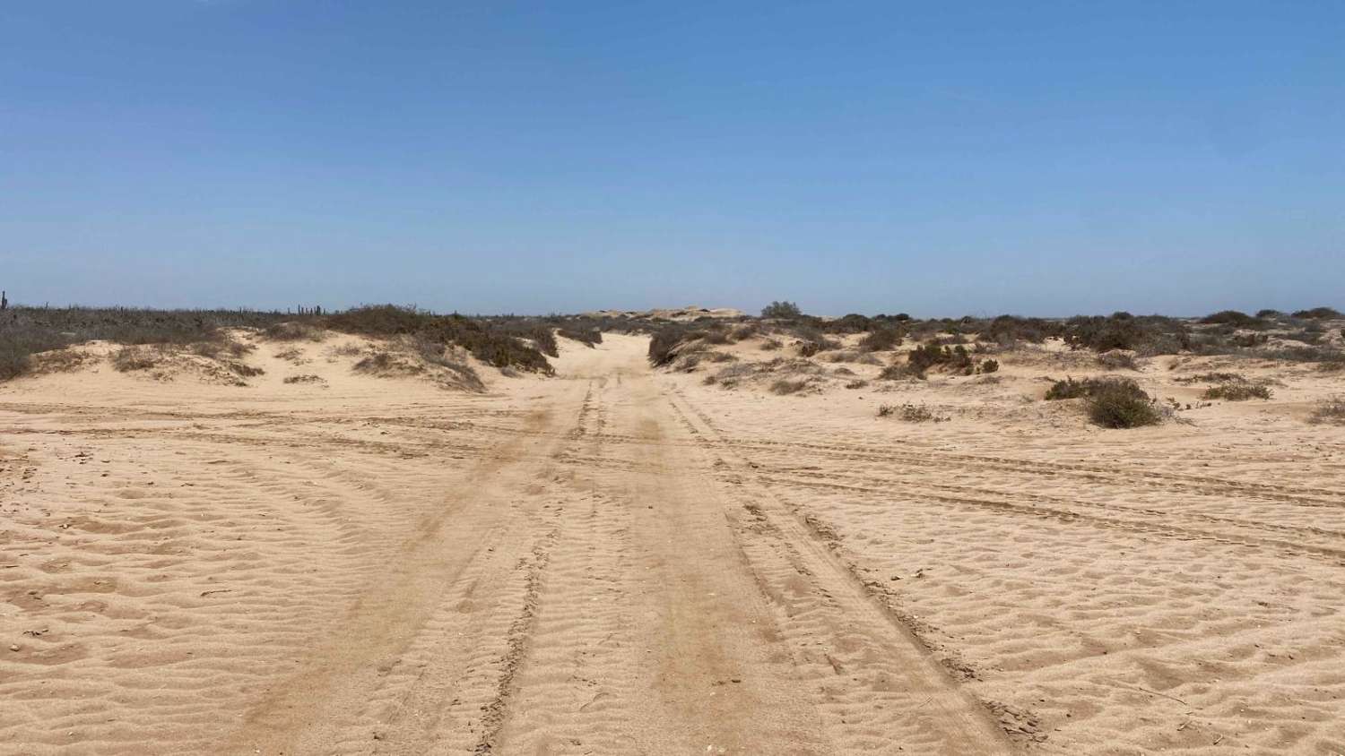
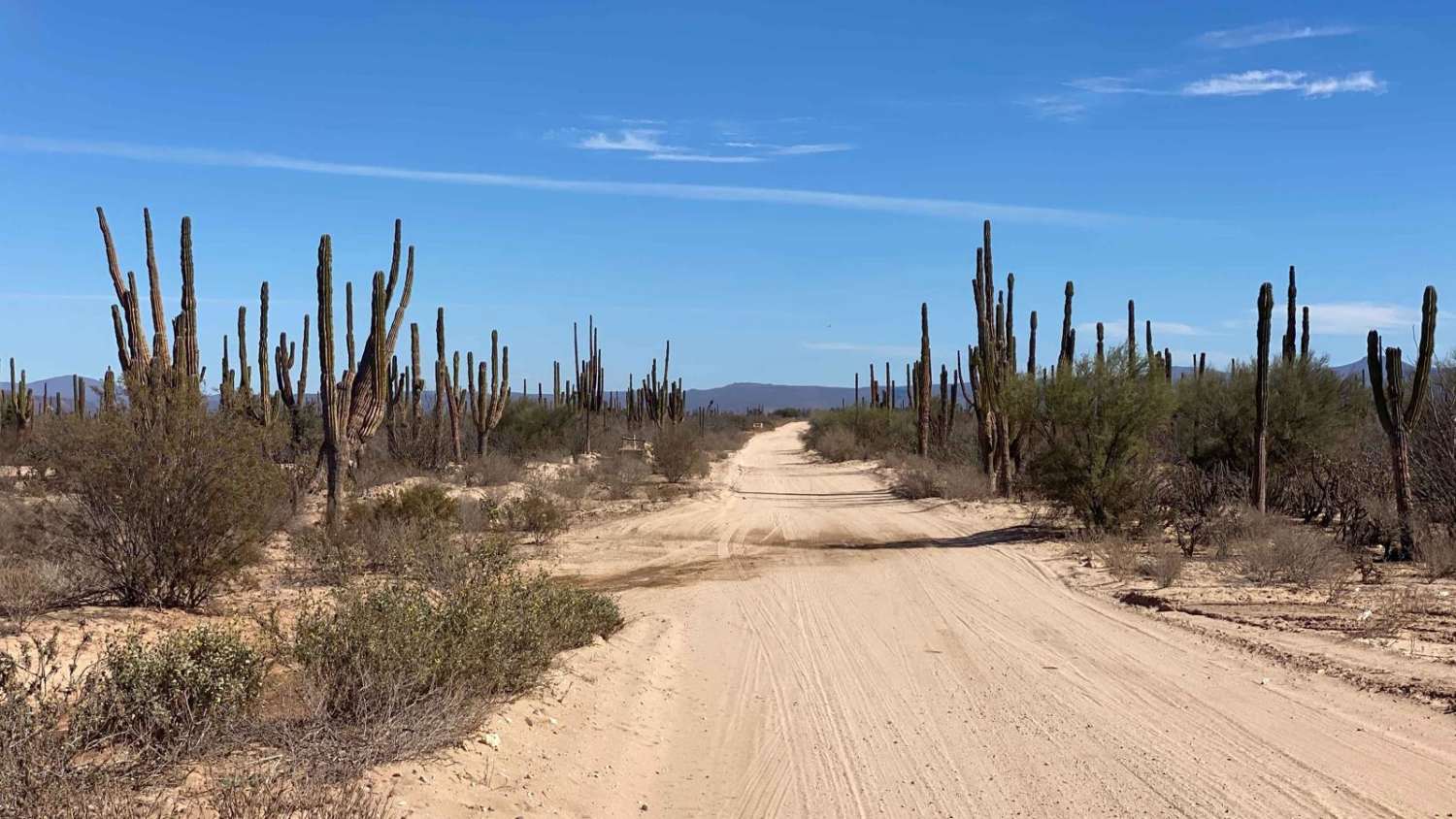
This scenic two-track route begins in the renowned whale-watching village of Puerto Chale and winds its way past the coastal settlements of El Datil and Lomota Amarilla, eventually hugging the shoreline. The trail offers a dynamic mix of terrain--expect deep sand sections, steep sandy climbs through narrow, vehicle-worn canyons, hard-packed salt flats, and smoother stretches weaving through dense mangrove corridors. The road starts as a relatively well-maintained track, about a vehicle and a half wide, scattered with seashells in low-lying areas that may flood during high tides or seasonal rains. While the first stretch includes some litter, it quickly clears up as the route leads past fishing camps and small local settlements. Drivers will encounter deep whoops carved by past off-road races, followed by increasingly lush scenery as the mangroves take over and ocean views begin to peek through. Just before reaching the coast again, the route crosses dry lake beds--ideal for dispersed camping--then transitions into a mile-long section of soft, 2-3 inch sand before firming up near the water. The trail concludes with a striking visual contrast: abandoned structures emerging at the edge of the mangroves, marking the final leg of this rugged yet beautiful journey.
Photos of Lomita Amarilla Coastal
Difficulty
This trail is generally manageable but does include a few sections that may require 4WD and aired-down tires, depending on your vehicle and driving experience. While it's technically possible for skilled drivers to complete it in a 2WD vehicle--especially in Mexico, where local drivers often push limits--doing so requires expert-level sand driving, self-recovery know-how, and the patience to wait for help if needed. Aside from two or three deep sand climbs with noticeable grade, the route is not particularly technical, provided conditions are dry.
Status Reports
Lomita Amarilla Coastal can be accessed by the following ride types:
- High-Clearance 4x4
- SUV
- SxS (60")
- ATV (50")
- Dirt Bike
Lomita Amarilla Coastal Map
Popular Trails

Southeast of 22
Rancho Santa Marta

El Centenario Northwest

Mag Bay Loop
The onX Offroad Difference
onX Offroad combines trail photos, descriptions, difficulty ratings, width restrictions, seasonality, and more in a user-friendly interface. Available on all devices, with offline access and full compatibility with CarPlay and Android Auto. Discover what you’re missing today!