Rancho Santa Marta
Total Kilometers
22.2
Technical Rating
Best Time
Spring, Summer, Winter, Fall
Trail Type
Full-Width Road
Accessible By
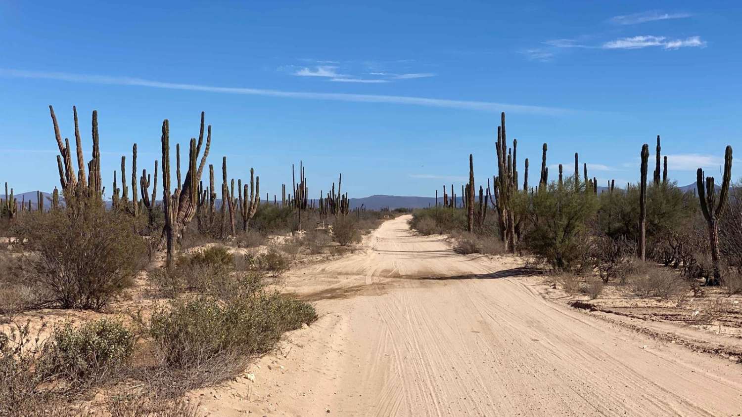
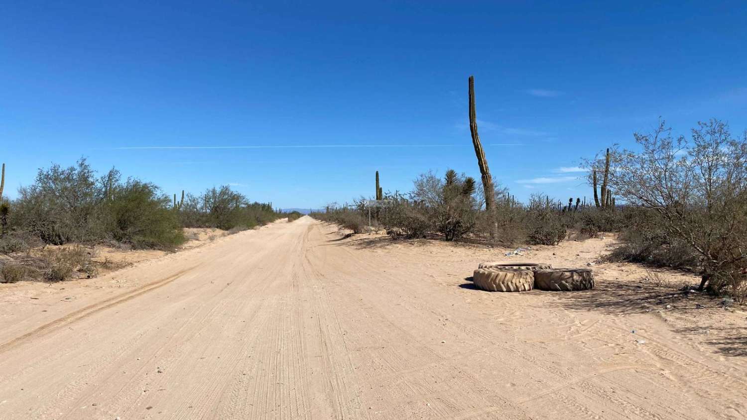
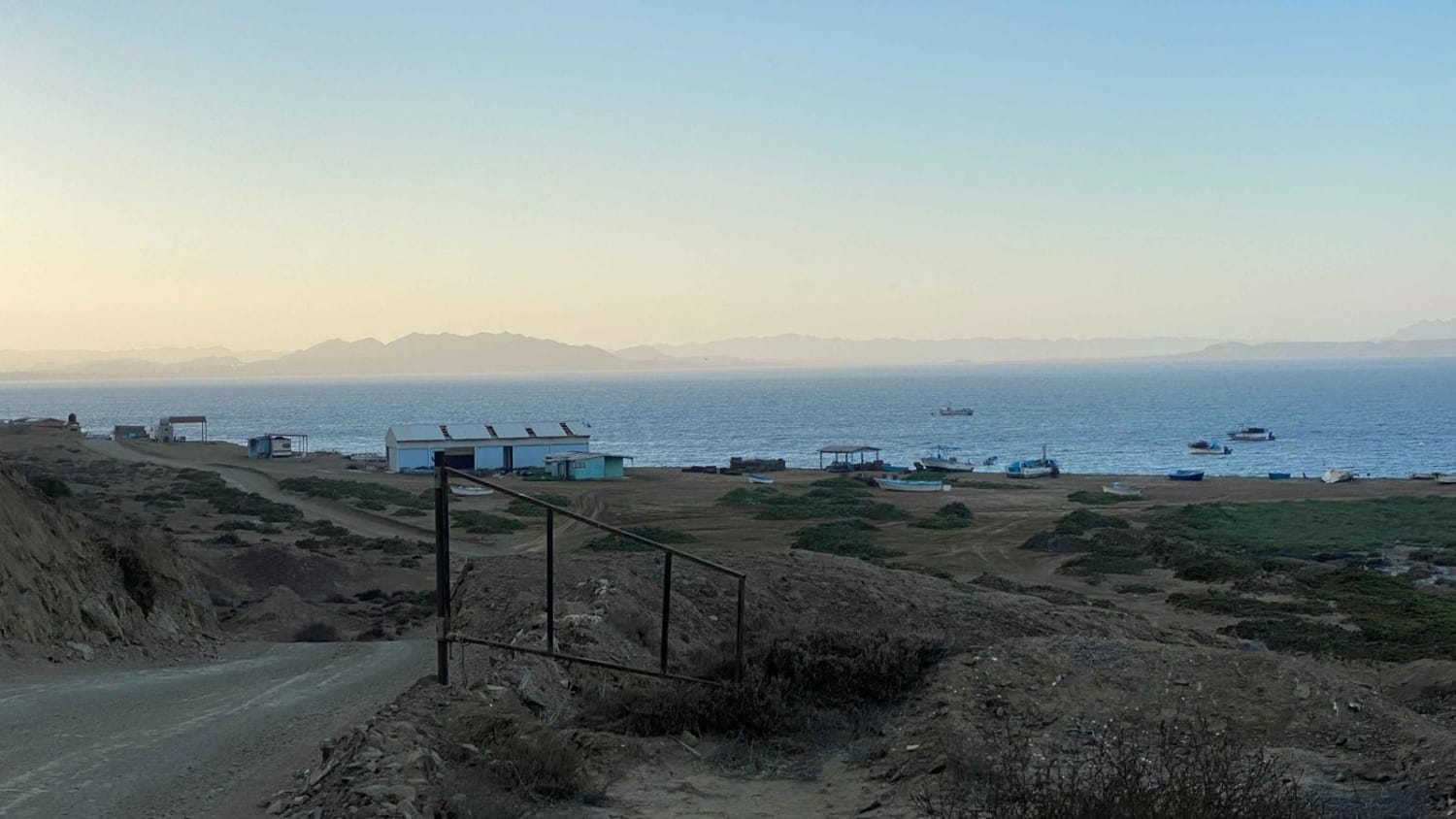
Trail Overview
This well-maintained utility road begins at Highway 1 and extends to Rancho Santa Marta, accessible by all vehicles. The route is fairly smooth but does have some washboard sections. The road ultimately dead-ends at a ranch and farm with no clear path to continue or bypass. However, about a mile or two before the end, a left turn provides another onX route leading to the back entrance of Mision Santa Gertrudis, offering an intriguing detour for those exploring the area.
Photos of Rancho Santa Marta
Difficulty
This is a well maintained dirt road accessible by any vehicle.
Status Reports
Rancho Santa Marta can be accessed by the following ride types:
- High-Clearance 4x4
- SUV
- SxS (60")
- ATV (50")
- Dirt Bike
Rancho Santa Marta Map
Popular Trails

Sendero de la Playa de Tecolate
Around Bahia de Tortugas to El Rincon

Lomita Amarilla South
La Trinidad
The onX Offroad Difference
onX Offroad combines trail photos, descriptions, difficulty ratings, width restrictions, seasonality, and more in a user-friendly interface. Available on all devices, with offline access and full compatibility with CarPlay and Android Auto. Discover what you’re missing today!