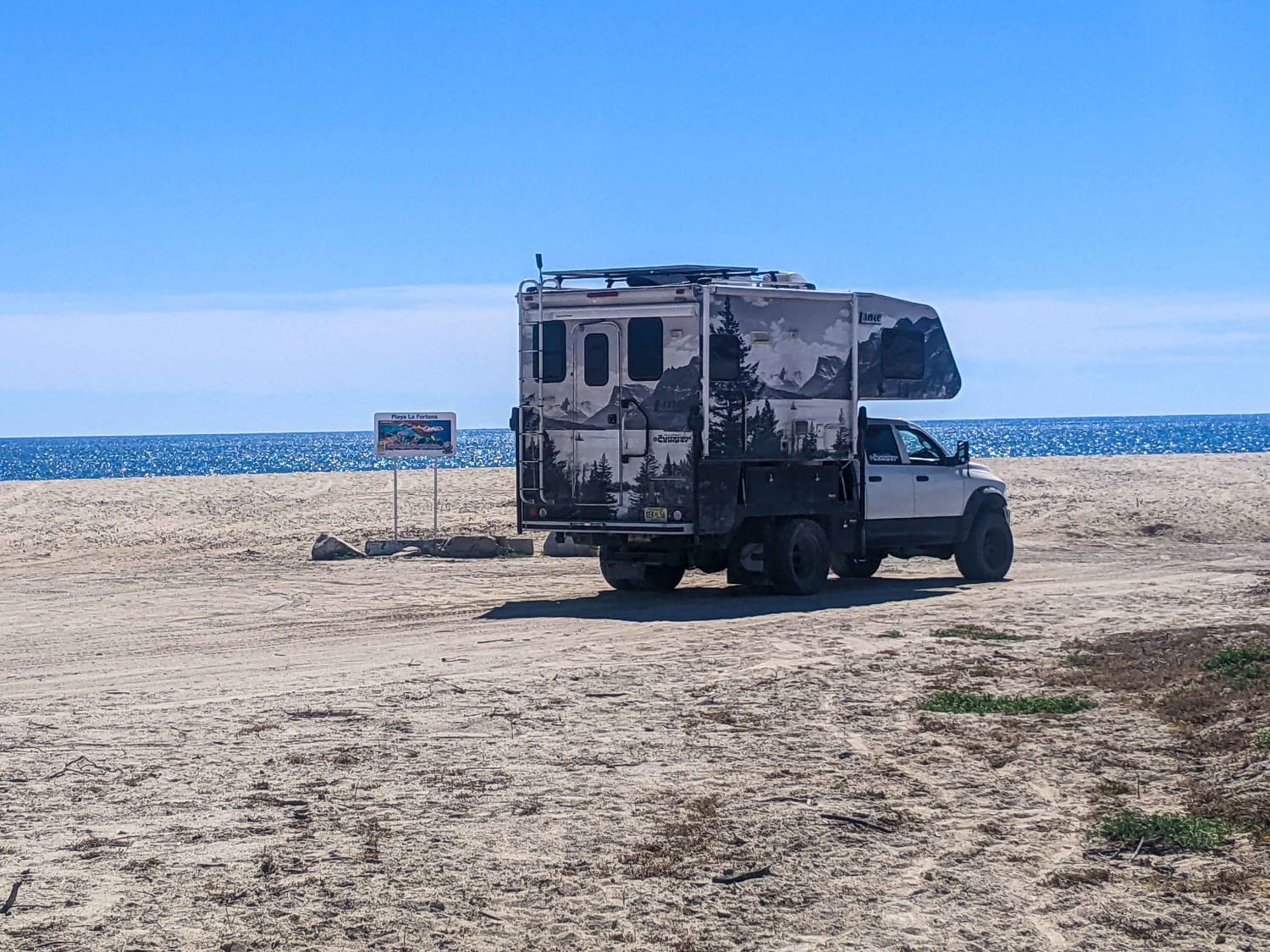
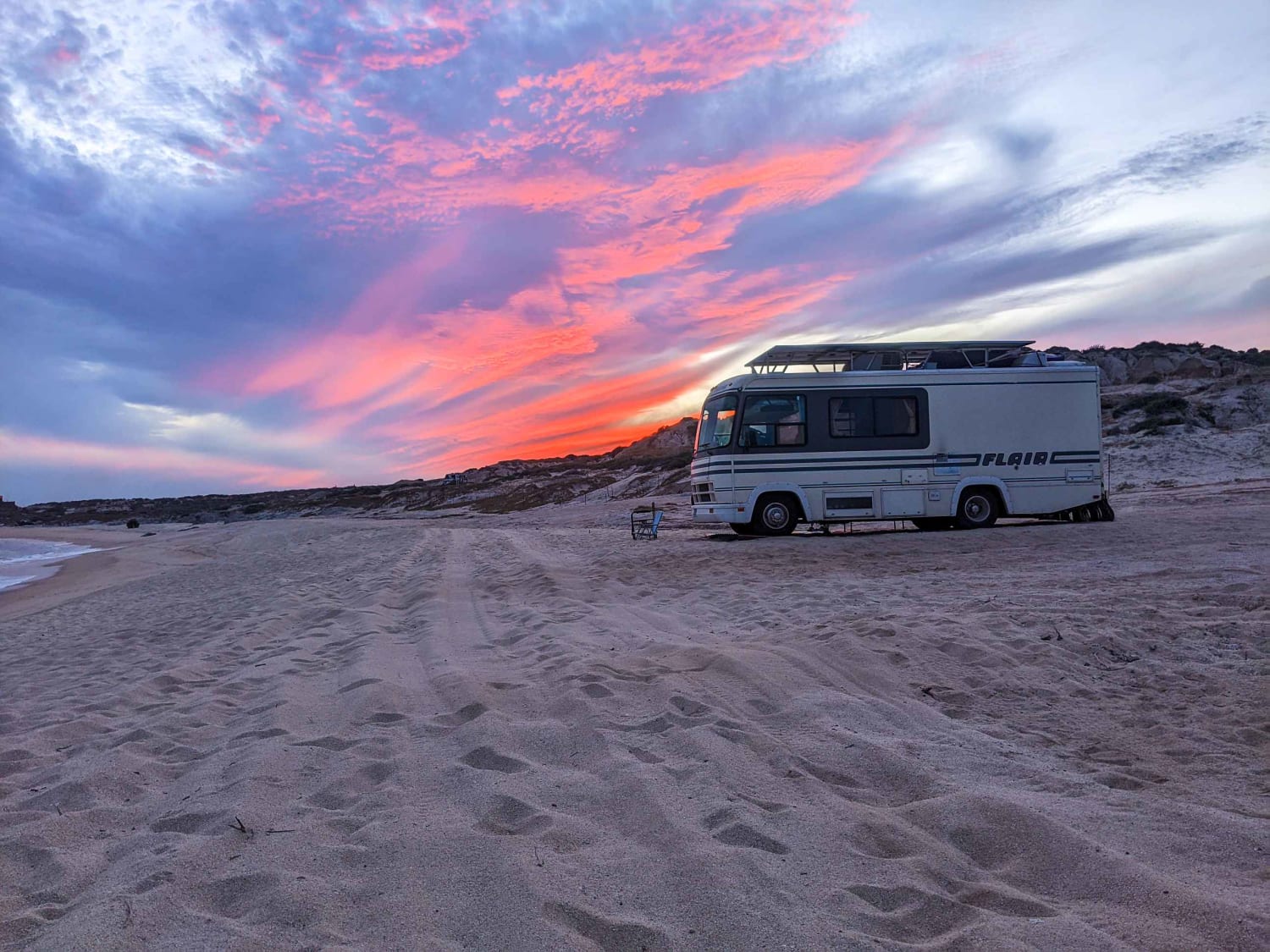
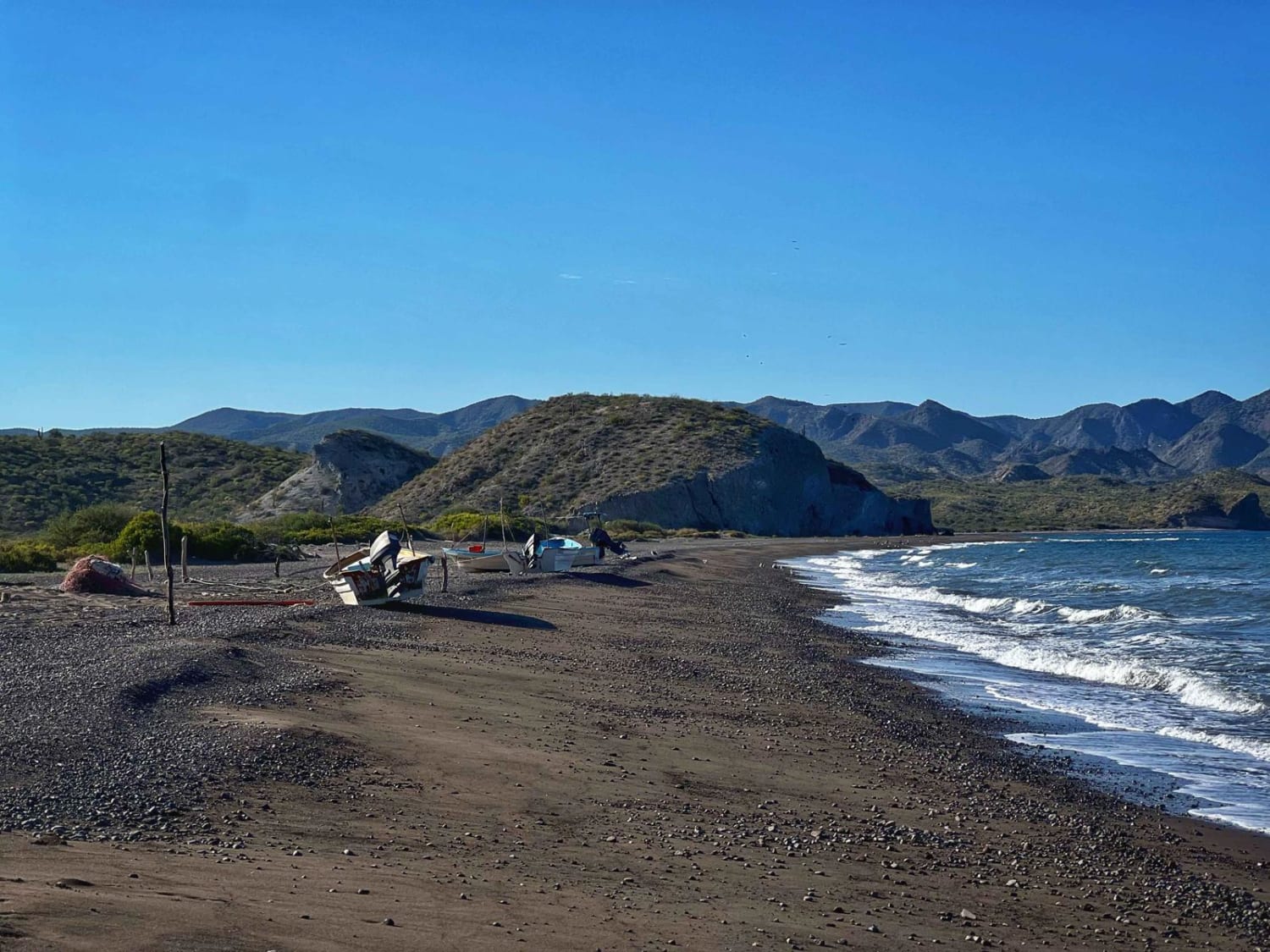
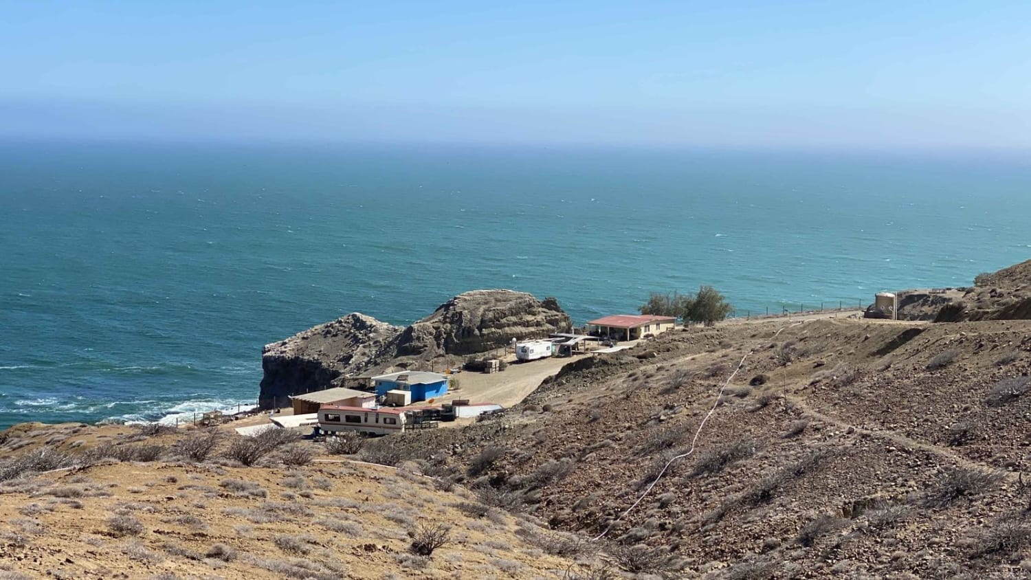
La Fortuna Beach
Total Kilometers
6.2
Technical Rating
Best Time
Winter, Fall, Summer, Spring
Trail Type
Full-Width Road
Accessible By
Trail Overview
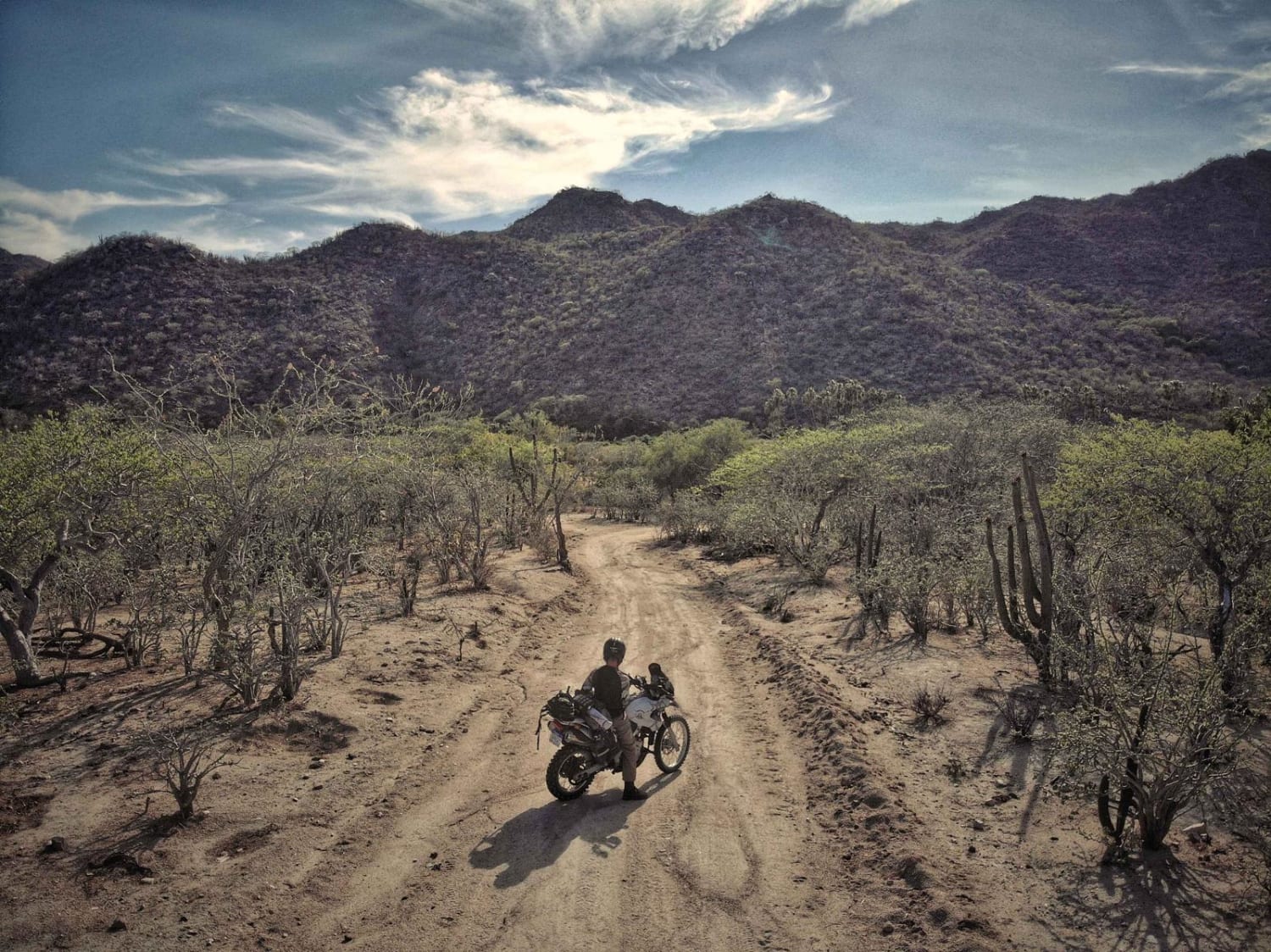
This is a rough road but easily passable by most any type of vehicle. This is the shortest route from the pavement leading to San Jose Del Cabo to La Fortuna. There are many options for free camping along this road. The road offers wonderful views of the east cape and offers a great overland feel. This spot offers a beautiful sandy beach in and out of the water.
Photos of La Fortuna Beach
Difficulty
The worst spots were speed bumps in the road, otherwise just a rough road.
Status Reports
La Fortuna Beach can be accessed by the following ride types:
- High-Clearance 4x4
- SUV
- SxS (60")
- ATV (50")
- Dirt Bike
La Fortuna Beach Map
Popular Trails
San Juaniquito
High Coastal Route to Cliffside Fishing Camp

Lomita Amarilla South
The onX Offroad Difference
onX Offroad combines trail photos, descriptions, difficulty ratings, width restrictions, seasonality, and more in a user-friendly interface. Available on all devices, with offline access and full compatibility with CarPlay and Android Auto. Discover what you’re missing today!