East Tensleep Lake
Total Miles
4.8
Technical Rating
Best Time
Summer, Fall
Trail Type
High-Clearance 4x4 Trail
Accessible By
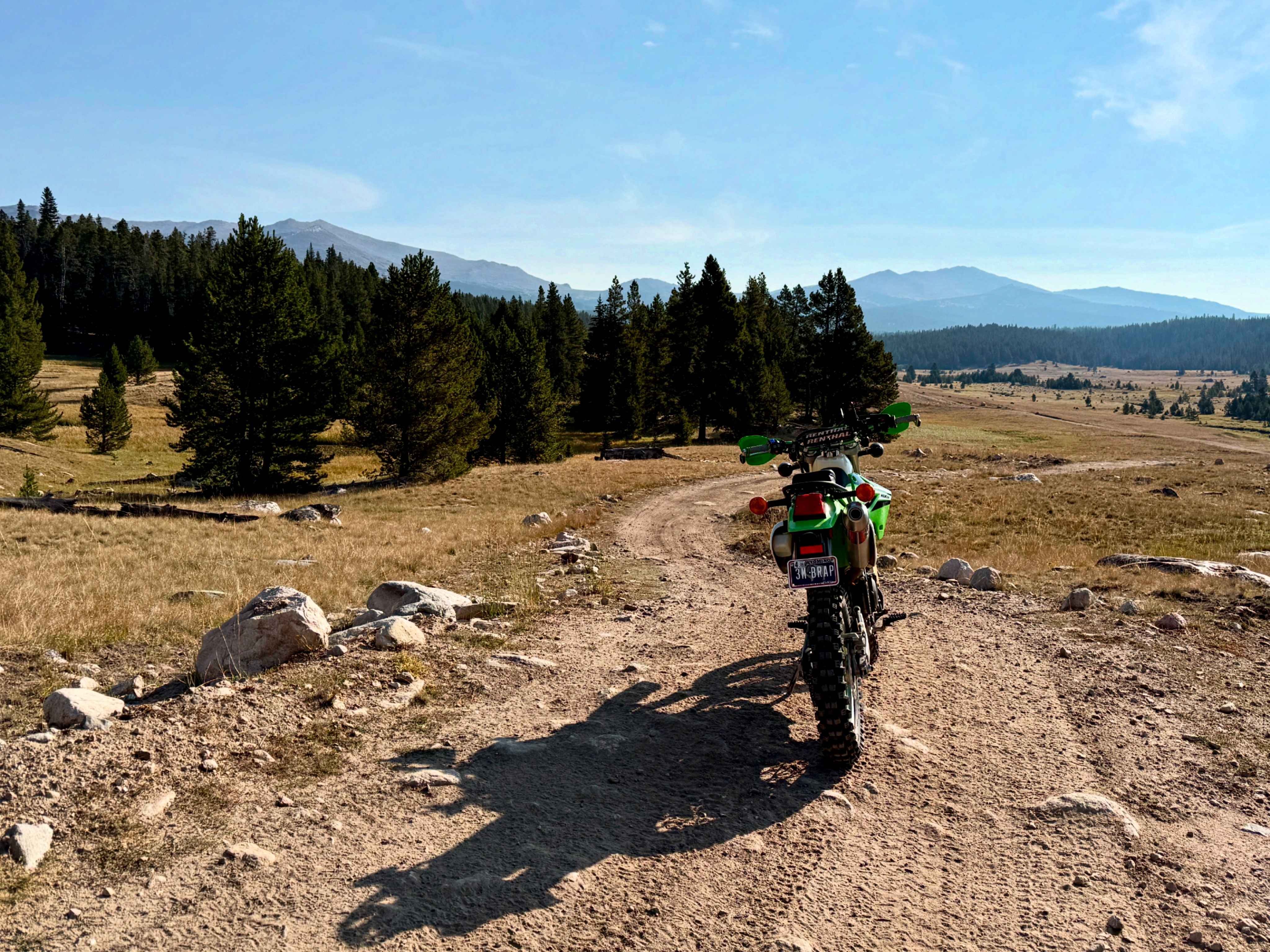
Trail Overview
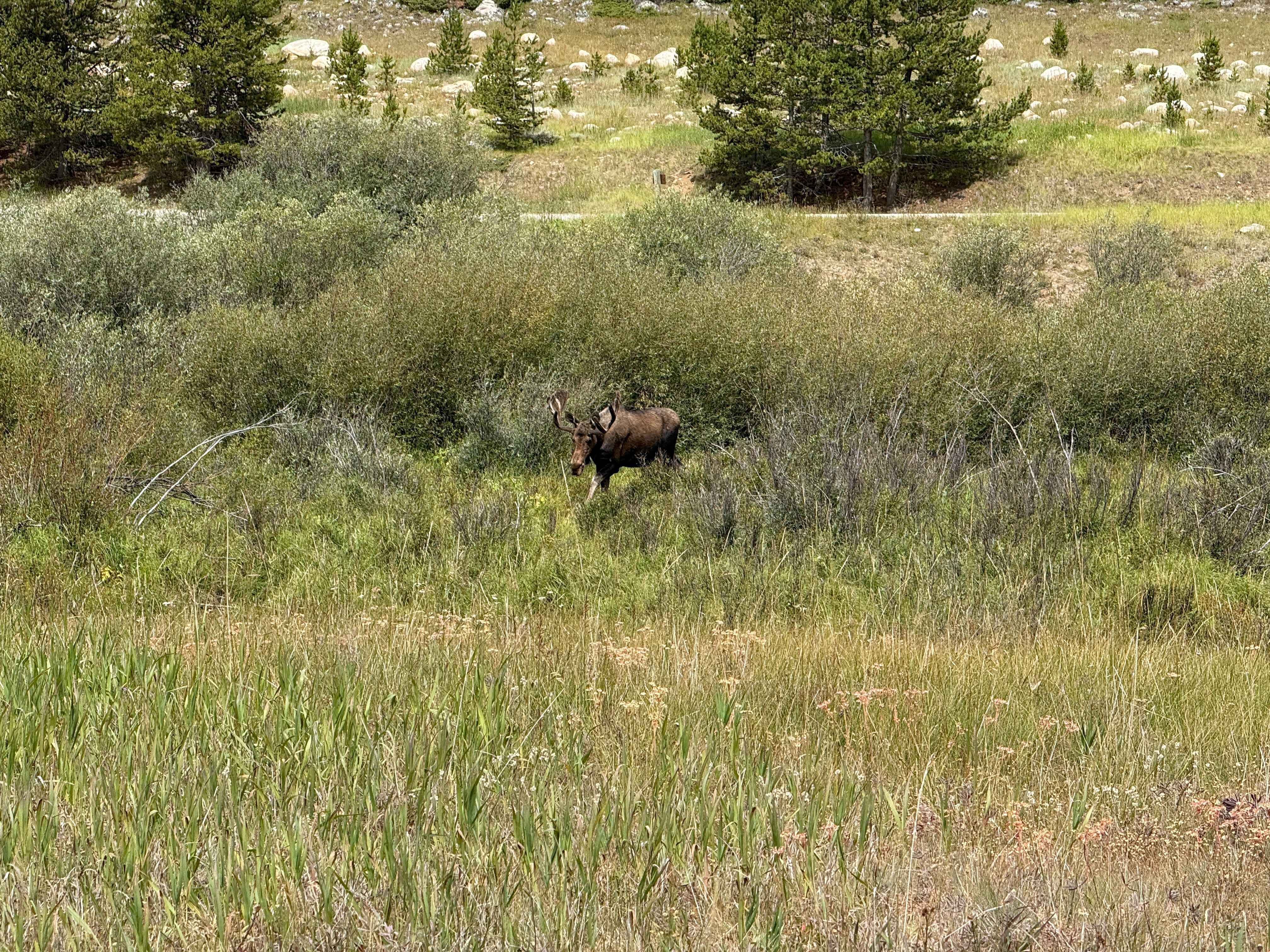
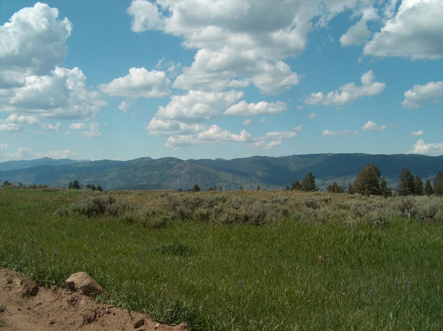
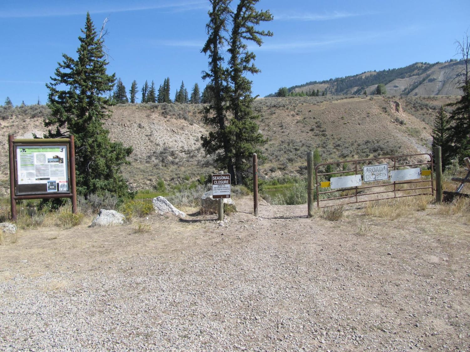
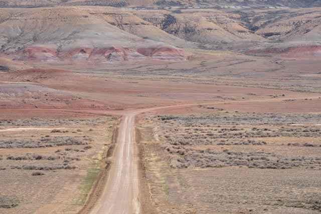
This is an easy trail at the beginning, changing to moderate towards the end. This 4x4 trail travels from Highway 16 through meadows and wooded areas to reach hiking trails that access East Tensleep Lake. The trail starts as an easy dirt road in the pines with a couple of narrow sections with embedded rock. Once through the first section of forest, you will wind your way across a meadow following East Tensleep Creek. At the north of the meadow, you will turn northeast, this is where the trail starts the ascent towards the lake. The trail will narrow and become rocky, as well as have sections of loose dirt. After roughly 1 mile, you will reach the end of the trail with a small area for you to park your rig. The lake is a short scramble uphill and is a good spot to fish, have a picnic, or just enjoy the view. If you have a trail-rated ATV/UTV or dirt, you can descend Trail 100, which is a steep, loose, and rocky ATV/UTV route. Otherwise, you will just follow the same route back out to Highway 16.
Photos of East Tensleep Lake
Difficulty
The last mile of this trail is narrow, steep, rocky, and contains loose soil, which makes line choice important. There are no high-consequence areas or water crossings. The trail can be quite muddy after rainfall.
Status Reports
East Tensleep Lake can be accessed by the following ride types:
- High-Clearance 4x4
- SxS (60")
- ATV (50")
- Dirt Bike
East Tensleep Lake Map
Popular Trails
Blacktail Plateau
Slate Creek/Dry Dallas

Skinny Mini
Overland Stage Route to Fort La Clede
The onX Offroad Difference
onX Offroad combines trail photos, descriptions, difficulty ratings, width restrictions, seasonality, and more in a user-friendly interface. Available on all devices, with offline access and full compatibility with CarPlay and Android Auto. Discover what you’re missing today!