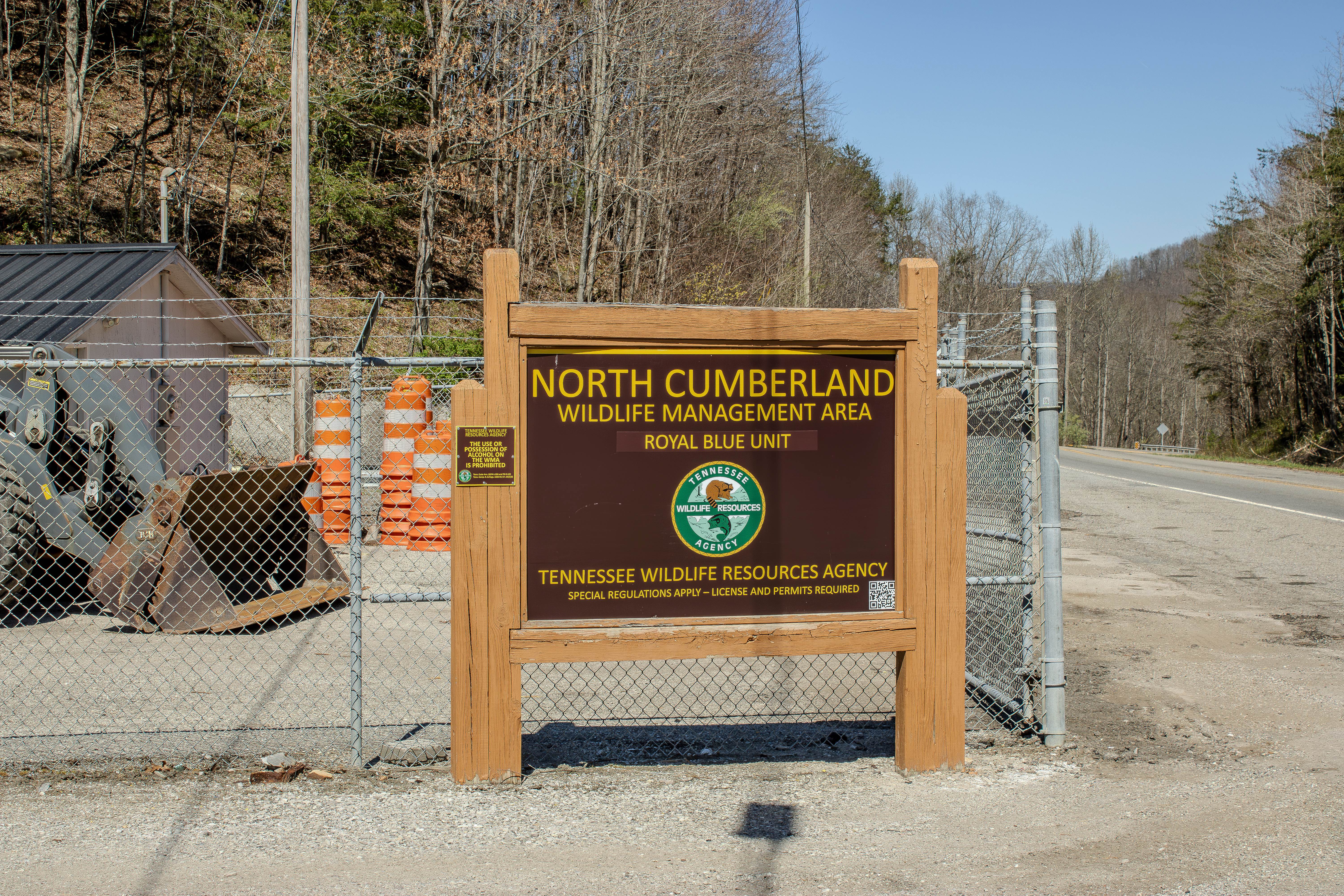
Coal Haul Road
Total Miles
1.8
Technical Rating
Best Time
Spring, Summer, Fall
Trail Type
High-Clearance 4x4 Trail
Accessible By
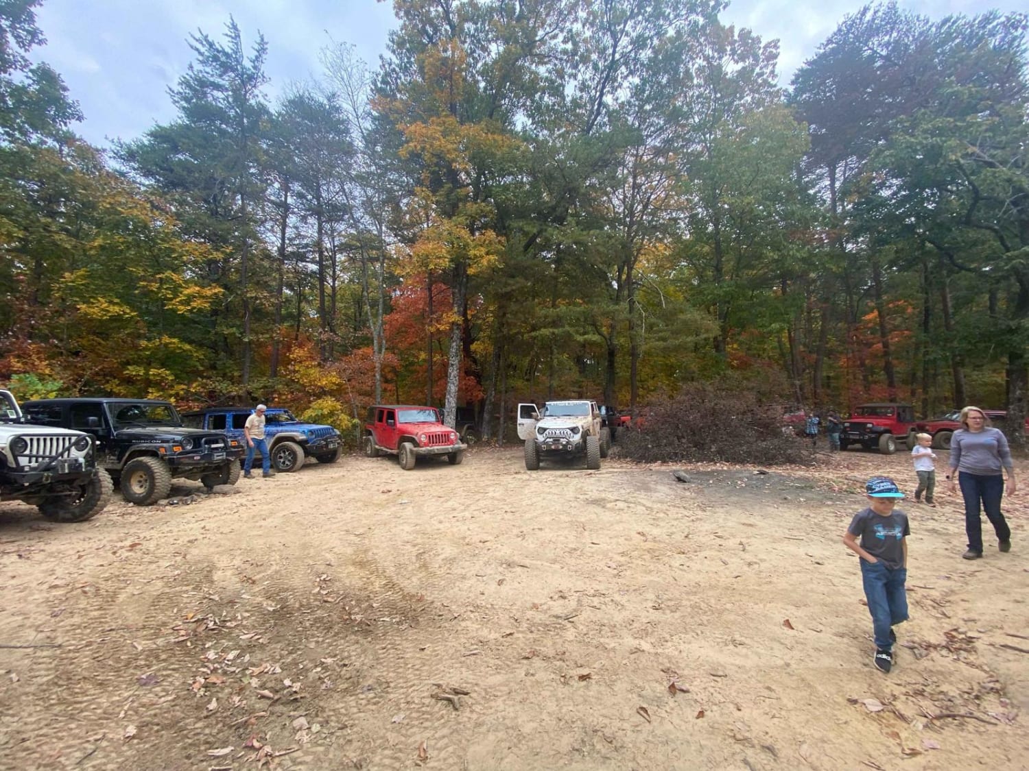
Trail Overview
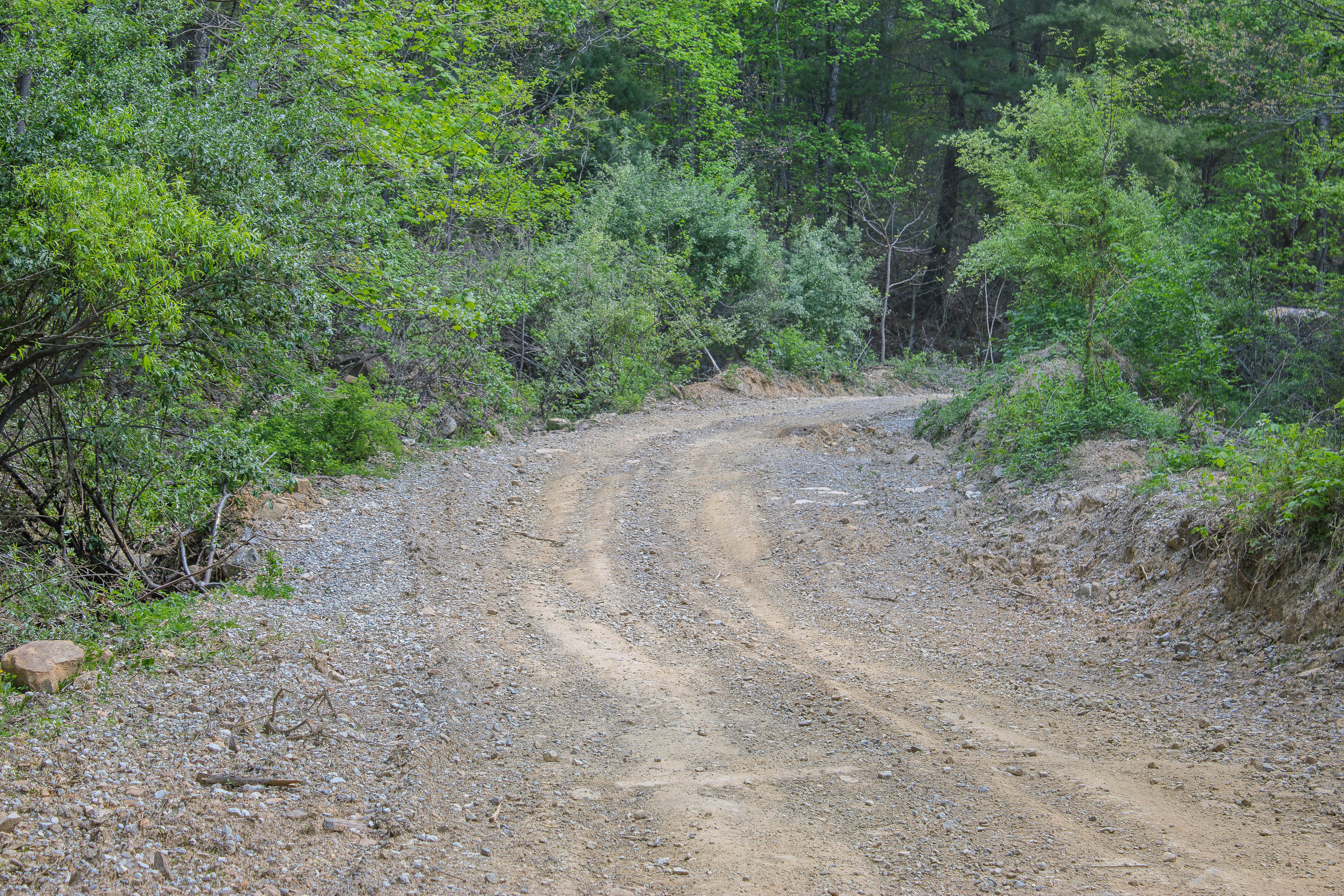
Coal Haul Road is an easy access route suited for ATVs, side-by-sides, and high-clearance 4x4 vehicles entering the trail system from New River Highway (TN-116). The road branches off the highway, crosses the New River, and begins climbing the mountainside overlooking Wolfpen Branch, serving as one of the primary entry points into this section of the Royal Blue trail network. Its origins as a former mining haul road are reflected in the wide corridor and gravel-heavy surface, which typically consists of compacted dirt, crushed rock, and loose gravel. Because of its relatively gradual grade and consistent roadbed, the route is commonly used by riders and drivers staging into the backcountry before branching off onto narrower and more technical trails. After crossing the New River, the road begins a steady ascent along the hillside where loose gravel and scattered rock can make traction variable on steeper sections. Blind corners and narrow stretches require cautious speeds, particularly since mixed vehicle traffic often uses the road to access surrounding trails. Rain can create muddy spots or shallow ruts along the climbing sections, especially where runoff crosses the road surface. As the route climbs above the Wolfpen Branch drainage, it eventually reaches a junction that connects to a broader network of backcountry OHV trails within the Royal Blue Unit. The area sits deep in the New River valley where cellular service is limited and travel conditions can change quickly with weather. Coal Haul Road is managed by the Tennessee Wildlife Resources Agency as part of the North Cumberland Wildlife Management Area road and OHV system, with vehicle access subject to current WMA regulations and possible seasonal or weather-related closures.
Photos of Coal Haul Road

Difficulty
Coal Haul Road 1 earns an easy 2 out of 10 rating because it is mostly a gravel and dirt road with only minor water crossings and no major obstacles. The spring-fed crossings are shallow under normal conditions, and the roadway is wide enough for vehicles to pass easily. Drivers should still use caution after heavy rain, as the dirt sections may become slick and the water crossings may rise slightly, but this trail should be manageable for most high-clearance vehicles and beginner off-road drivers.
Status Reports
Coal Haul Road can be accessed by the following ride types:
- High-Clearance 4x4
- SxS (60")
- ATV (50")
- Dirt Bike
Coal Haul Road Map
Popular Trails
Titus Hollow Road

Jake's Branch Road

Emily Cemetery Road
The onX Offroad Difference
onX Offroad combines trail photos, descriptions, difficulty ratings, width restrictions, seasonality, and more in a user-friendly interface. Available on all devices, with offline access and full compatibility with CarPlay and Android Auto. Discover what you’re missing today!