PC 10
Total Miles
4.1
Technical Rating
Best Time
Spring, Fall, Summer, Winter
Trail Type
60" Trail
Accessible By
Trail Overview
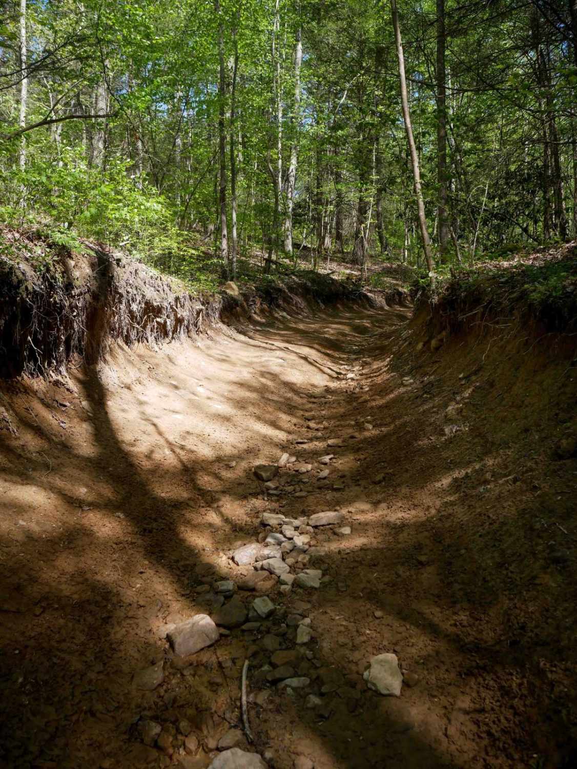
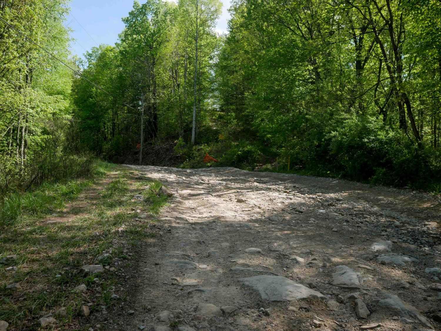
PC 10 is a wide path that runs along the hilltops, featuring large mud puddles and a deep trough section dug out from the forest floor with deeper ruts. The trail includes a shelfy section and gradual switchbacks, eventually leading to a wide, graded gravel section beneath the powerlines. There are minor embedded and loose rocks along the route, and the trail passes through several well-marked intersections. Serving as a long access corridor, it connects the west and east halves of the Pinnacle Creek Trail system.
Photos of PC 10
Difficulty
This is an easy SxS route with some loose rock, ruts, and gradual grades, ideal for all skill levels.
Status Reports
PC 10 can be accessed by the following ride types:
- SxS (60")
- ATV (50")
- Dirt Bike
PC 10 Map
Popular Trails


The onX Offroad Difference
onX Offroad combines trail photos, descriptions, difficulty ratings, width restrictions, seasonality, and more in a user-friendly interface. Available on all devices, with offline access and full compatibility with CarPlay and Android Auto. Discover what you’re missing today!