BM 25
Total Miles
4.1
Technical Rating
Best Time
Spring, Fall, Summer, Winter
Trail Type
60" Trail
Accessible By
Trail Overview
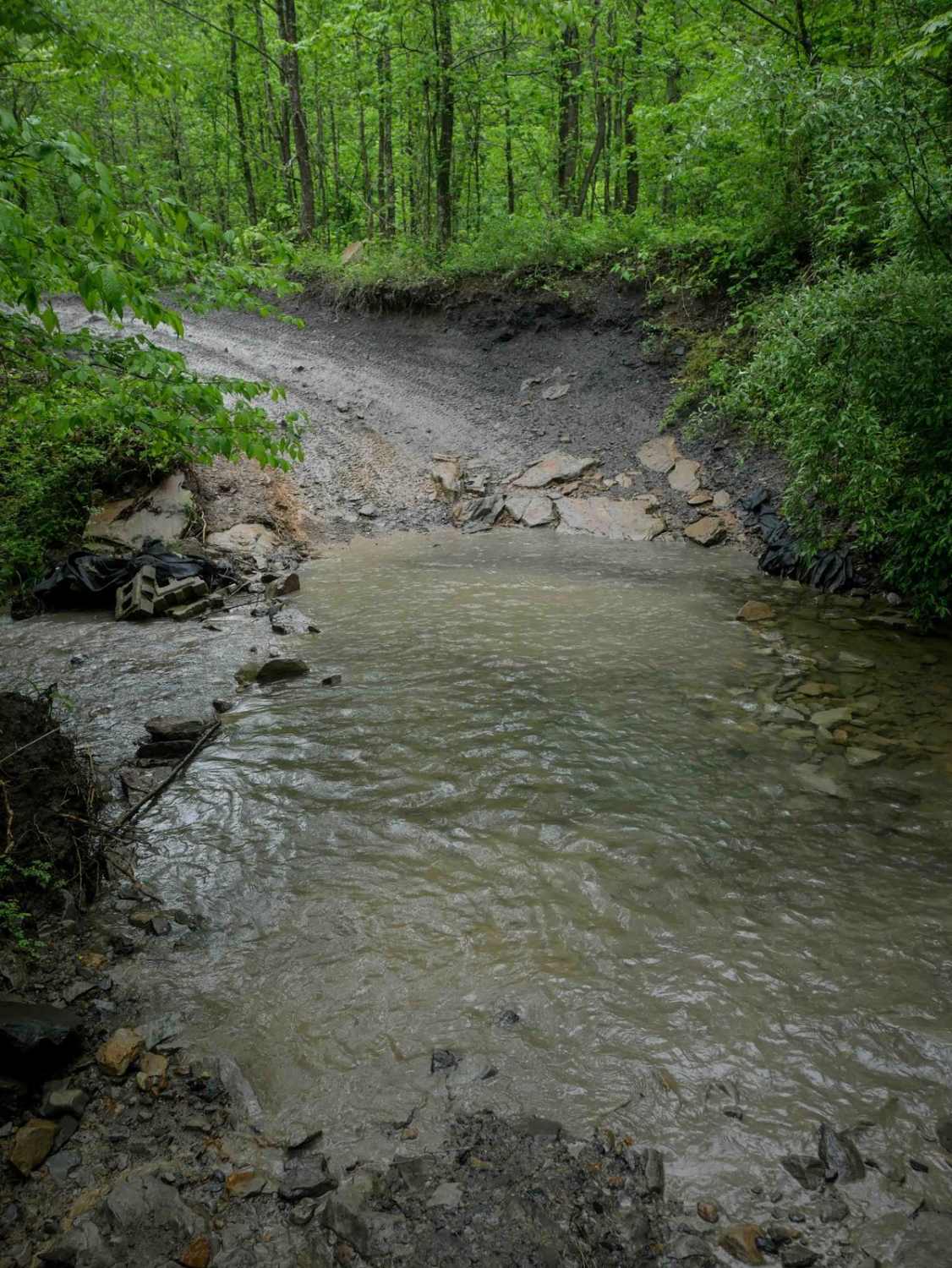
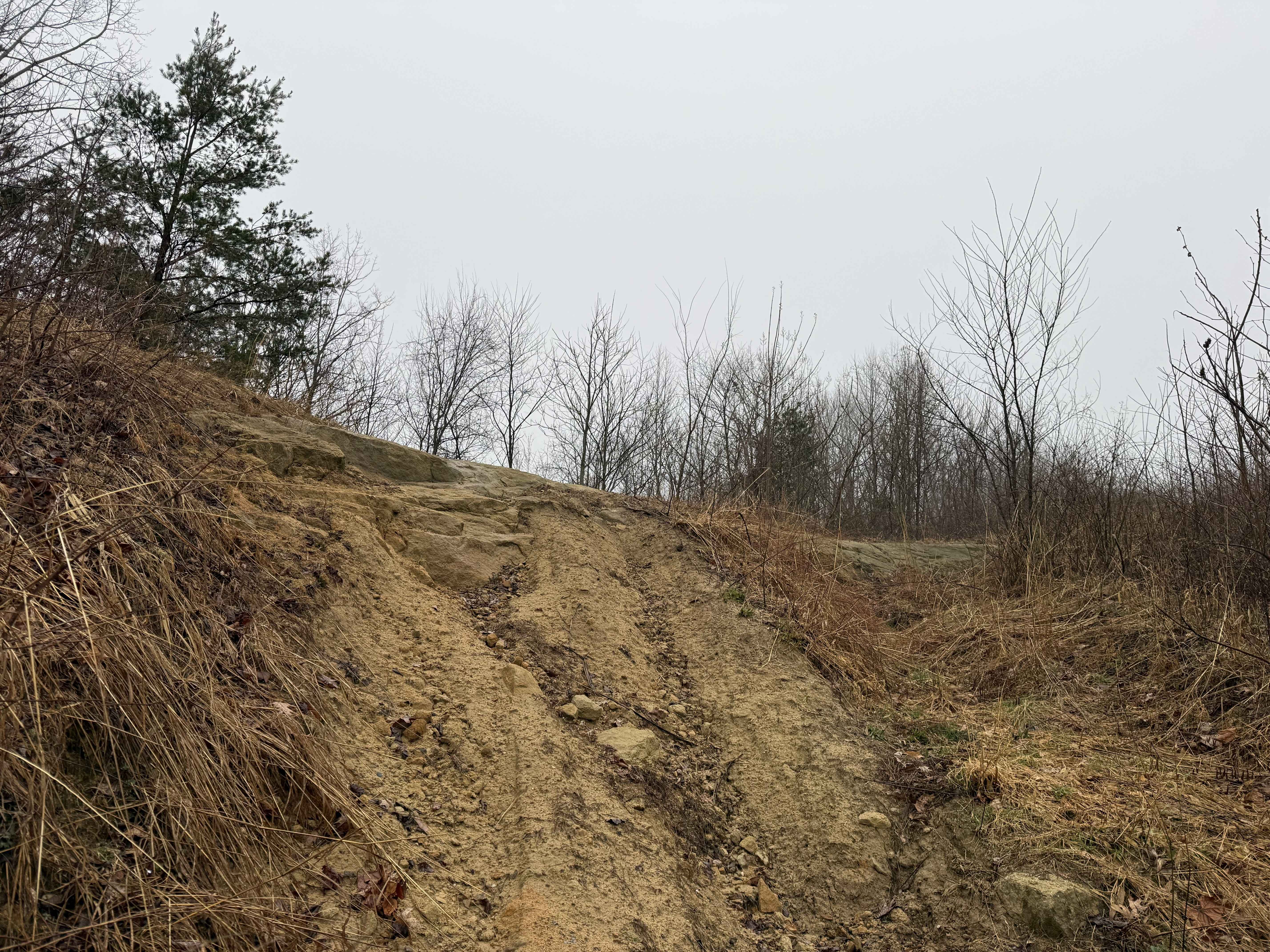
BM 25 begins at the pavement on highway 52 at its intersection with BM 24, and climbs gently under the powerlines in an open section of forest with skies overhead. The initial stretch is wide, smooth, and very easy. There's a shallow stream crossing at Sycamore Creek--rocky but manageable--before the trail transitions into denser woods with a leafy canopy. From there, it becomes a shelfy path along the hillside, then flattens out through the forest floor. It accesses the BM 172 single-track, then continues with minimal elevation change until it meets BM 22 and 15. Overall, it's an easy access corridor with a few loose rocks, shallow ruts, and some hairpin turns, but nothing technical.
Photos of BM 25

Difficulty
This is a moderately easy route with minimal rock, ruts, steep grades, and switchbacks, but is ideal for average-skilled riders.
Status Reports
BM 25 can be accessed by the following ride types:
- SxS (60")
- ATV (50")
- Dirt Bike
BM 25 Map
Popular Trails


The onX Offroad Difference
onX Offroad combines trail photos, descriptions, difficulty ratings, width restrictions, seasonality, and more in a user-friendly interface. Available on all devices, with offline access and full compatibility with CarPlay and Android Auto. Discover what you’re missing today!