Schofield Canyon Trail - FS 5007A
Total Miles
2.7
Technical Rating
Best Time
Summer, Spring, Fall
Trail Type
50" Trail
Accessible By
Trail Overview
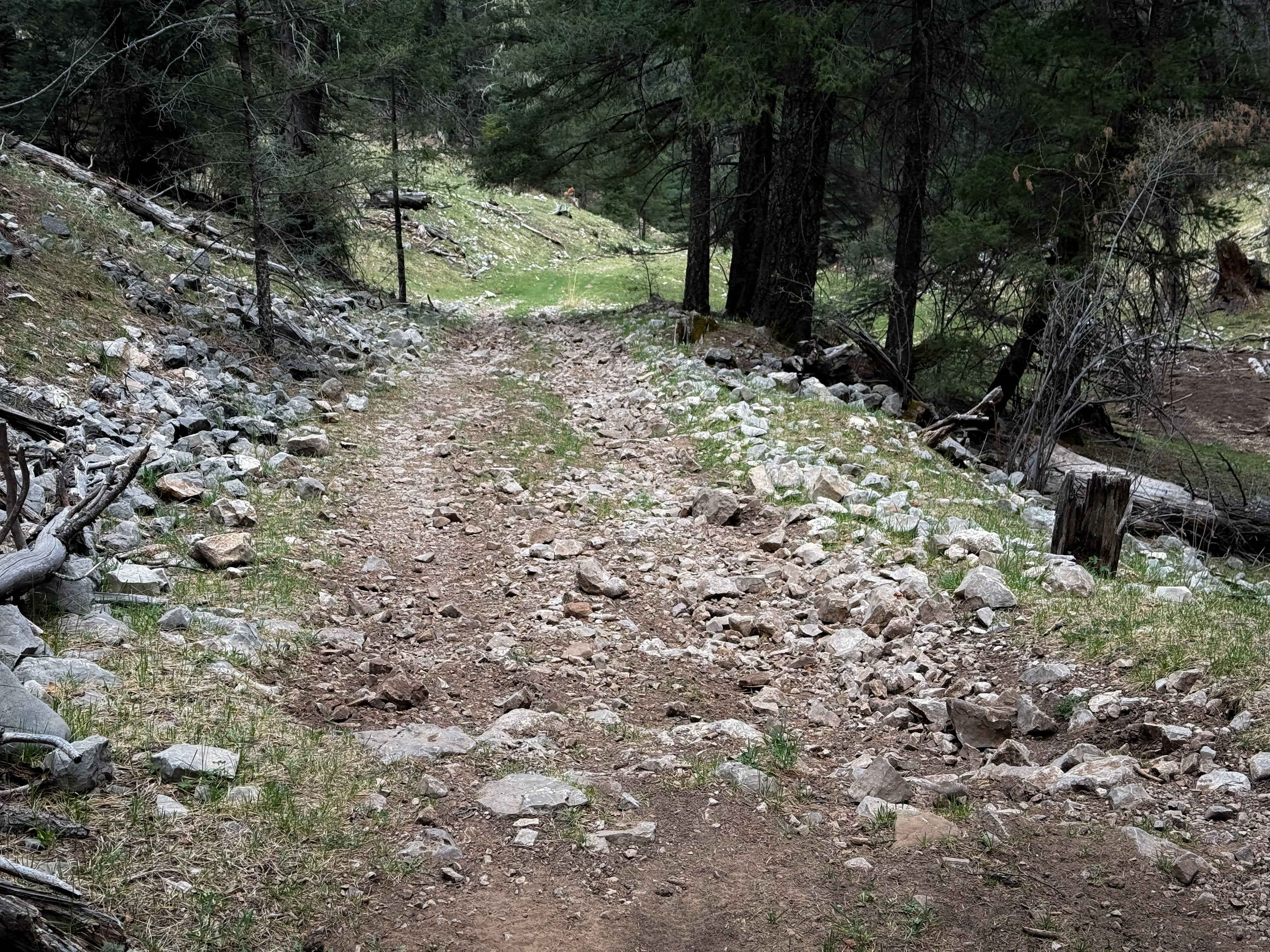
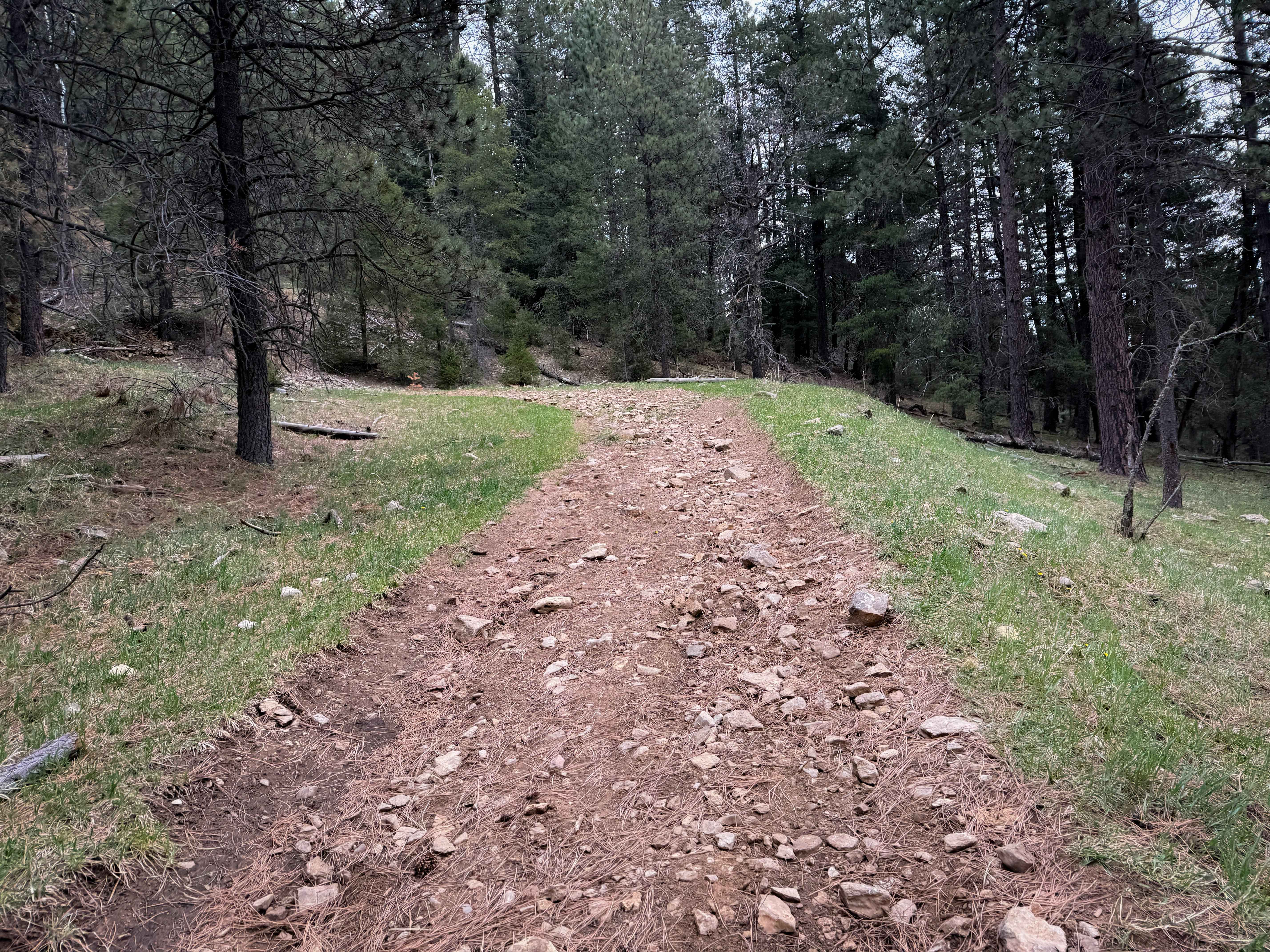
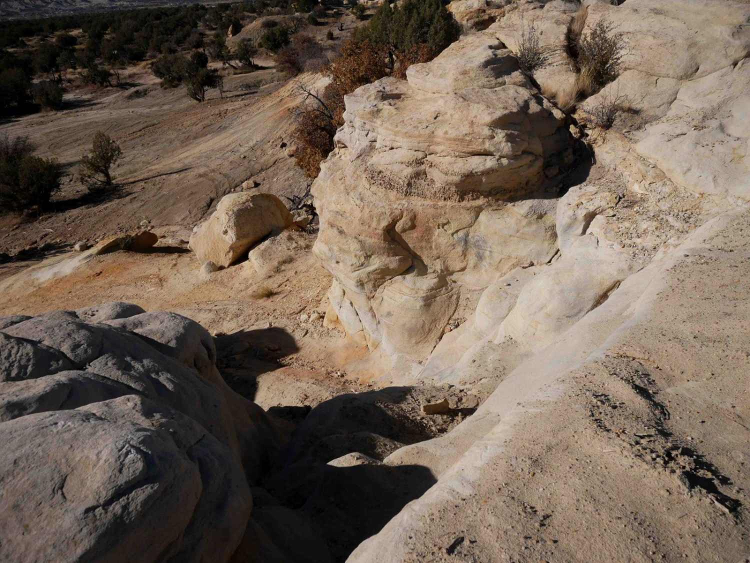
The south end of Trail 5007A starts at a couple of fence posts and a trail sign along Upper Rio Penasco Road, across from a small parking area. The trail is rutted and grassy, with a layer of scattered loose rocks packed down into the dirt, and roots stretching across the trail. It immediately starts climbing up a shelf cut into the hillside along a ravine, on a semi-steep slope, until it comes to the intersection with the Shortcut Trail, where it turns sharply left in a grassy meadow. The rest of the trail is also covered in a layer of loose rocks as it meanders around the hillside through forested sections and meadows. After 2.7 miles, it turns into a road designation that is similarly rocky, which takes you to Benson Ridge Road.
Photos of Schofield Canyon Trail - FS 5007A
Difficulty
This is an easy ATV trail despite a consistent layer of loose rocks. Most of the rocks are packed down, and the loamy soil has good traction, so it's not too difficult, just a bumpy ride. The trail was clear of any logs, but there is always potential for new downfall hazards. Expect a couple of semi-steep spots.
Status Reports
Schofield Canyon Trail - FS 5007A can be accessed by the following ride types:
- ATV (50")
- Dirt Bike
Schofield Canyon Trail - FS 5007A Map
Popular Trails
Old Spanish Trail
Curtis Canyon

Silver Monument
The onX Offroad Difference
onX Offroad combines trail photos, descriptions, difficulty ratings, width restrictions, seasonality, and more in a user-friendly interface. Available on all devices, with offline access and full compatibility with CarPlay and Android Auto. Discover what you’re missing today!