Highway 101 "not PCH"
Total Miles
25.1
Technical Rating
Best Time
Fall, Spring
Trail Type
Full-Width Road
Accessible By
Trail Overview
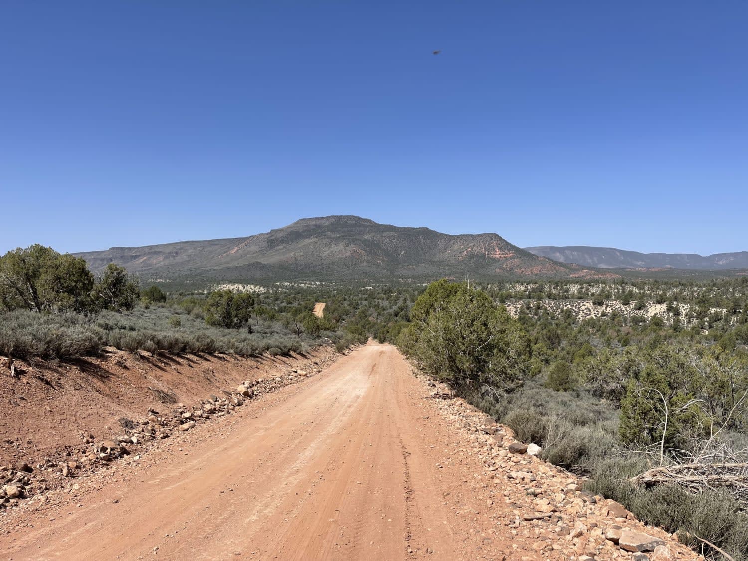
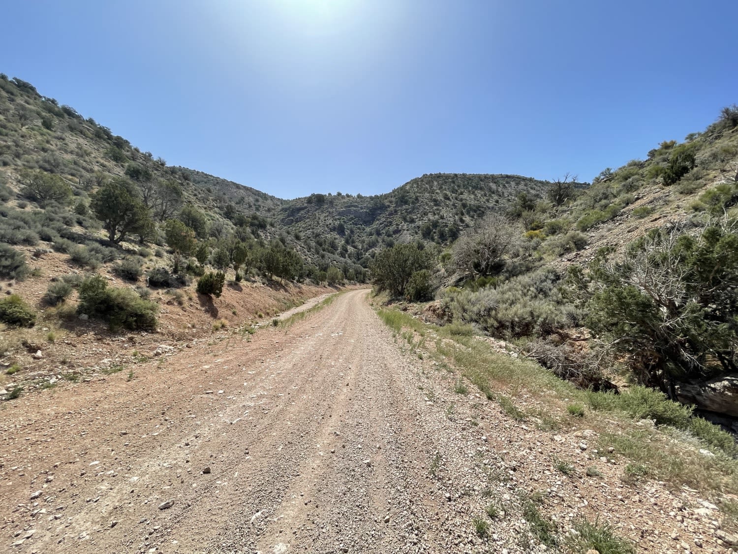
It may be labeled Hwy 101 on the map, but this is a long way from the Pacific Coast Highway. This mostly graded dirt road begins in the east in the beautiful high plains and crosses over hills and through a spectacular canyon. There is a burned section of Juniper forest and eventually some longer sections of sandy road. This road continues to mesquite if a resupply is needed. It's signed to be 40 miles from the eastern side of the trail at an intersection about two miles along. This road appears to be the main access point for larger campers and RVs; A few were spotted traveling on it during the recording. Although airing done for the sandy section is highly recommended. There are almost endless side trails to explore and carve out your own little slice of camp. No cellular service.
Photos of Highway 101 "not PCH"
Difficulty
Mostly wide but there are some sections of ruts that may be impassable when wet, also a longer section of sand might need airing down for.
History
A Journey Into The WildTake a lonely and rocky two-track road in a 4x4 to the edge of the Grand Wash Cliffs. Find a stunning solitary vista deep into the Grand Canyon. Relax in the shade of ponderosas at Mt. Trumbull. Touch ancient waters at Pakoon Springs in one of the driest places in the world. Parashant is remote. There are no crowds here. Be equipped to leave pavement, cell service, and the 21st century behind.Parashant is a scenic wonder, but it also is one of the last truly remote places in the United States. A visit here means leaving the safety net of the modern world behind.The information that follows is not designed to scare potential visitors out of visiting the monument but remind everyone that traveling into Parashant isn't to be taken lightly. Rangers want to be sure motorists understand that travel here requires specialized vehicles, equipment, and planning to avoid or recover from a mishap. The fact that you are reading this means you are on the right track as you prepare for a safer visit to the monument. Thank you! Please contact us at the number on the bottom if you would like to discuss with a ranger your particular equipment, skill level, and trip plans.You are responsible for your own safety, and you must be able to self-rescue. Appropriate vehicles and equipment in good working order and adequate supplies are critical. Roads are narrow and winding. Travelers need to be prepared for their trip and understand the guidance below. All routes are unpaved and of varying difficulty. While not prohibited, cars, minivans, crossover SUVs, and RVs are not suitable vehicles for travel in this monument.A high clearance 4x4 with tires designed for off-pavement use is the most important safety item you need. Most rescues involve vehicles with multiple flats where rocks ripped up tires only rated for street use. Other reasons include vehicles getting stuck in mud or high-centered on uneven roadbeds or vehicles suffering some kind of mechanical breakdown.Recommended Equipment and Supplies:Return plan filed with friend or relative and Parashant's contact phone numbers.24-hour EMERGENCY or MISSING PERSONS (702) 293-8998 (Lake Mead)Non-emergency (435) 688-3200 during business hours.Shovel to smooth off cut banks or dig out of the sandJack to lift vehicle with a base that can be set up on rocky or sandy groundAll-Terrain spare tireExtra food, water, and any needed medications to last several daysHot/cold weather clothingSatellite Phone or Satellite Messenger such as a Garmin InReach
Status Reports
Highway 101 "not PCH" can be accessed by the following ride types:
- High-Clearance 4x4
- SUV
- SxS (60")
- ATV (50")
- Dirt Bike
Highway 101 "not PCH" Map
Popular Trails
P5007 - Otero Canyon
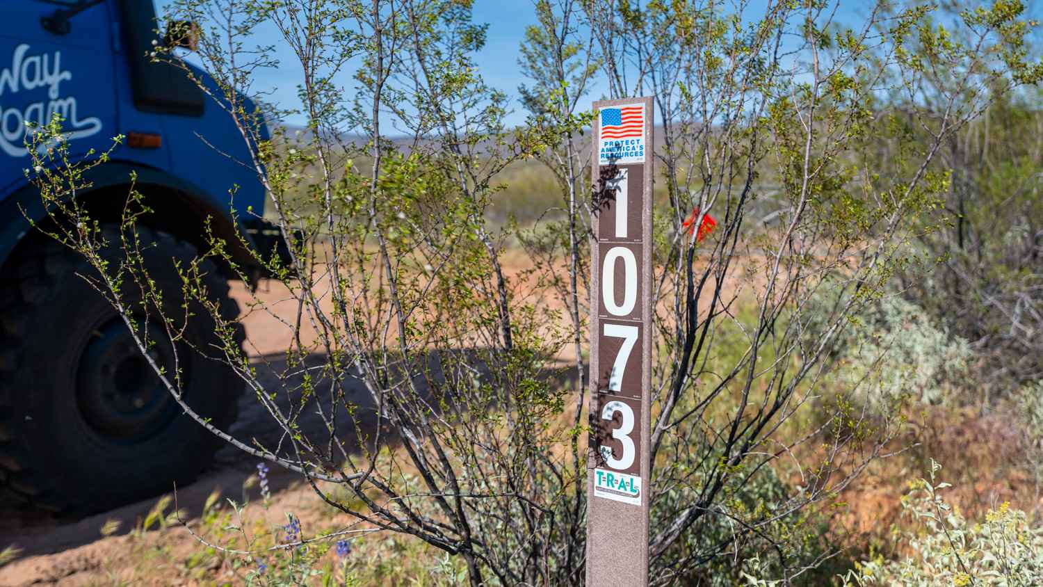
Bar Eleven Road - FS 1073

Telephone Ridge

The onX Offroad Difference
onX Offroad combines trail photos, descriptions, difficulty ratings, width restrictions, seasonality, and more in a user-friendly interface. Available on all devices, with offline access and full compatibility with CarPlay and Android Auto. Discover what you’re missing today!