Magic Mountain Summit Trail
Total Miles
9.1
Technical Rating
Best Time
Spring, Summer, Fall, Winter
Trail Type
Full-Width Road
Accessible By
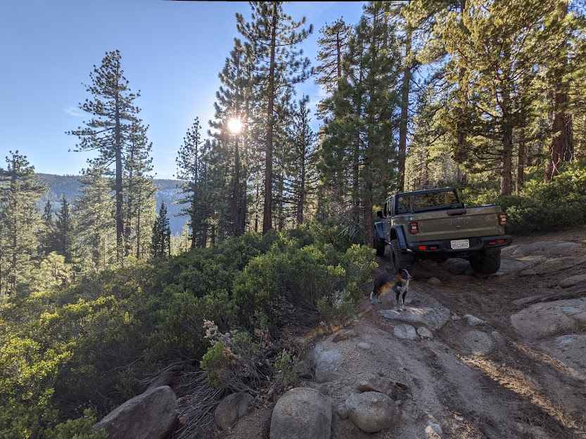
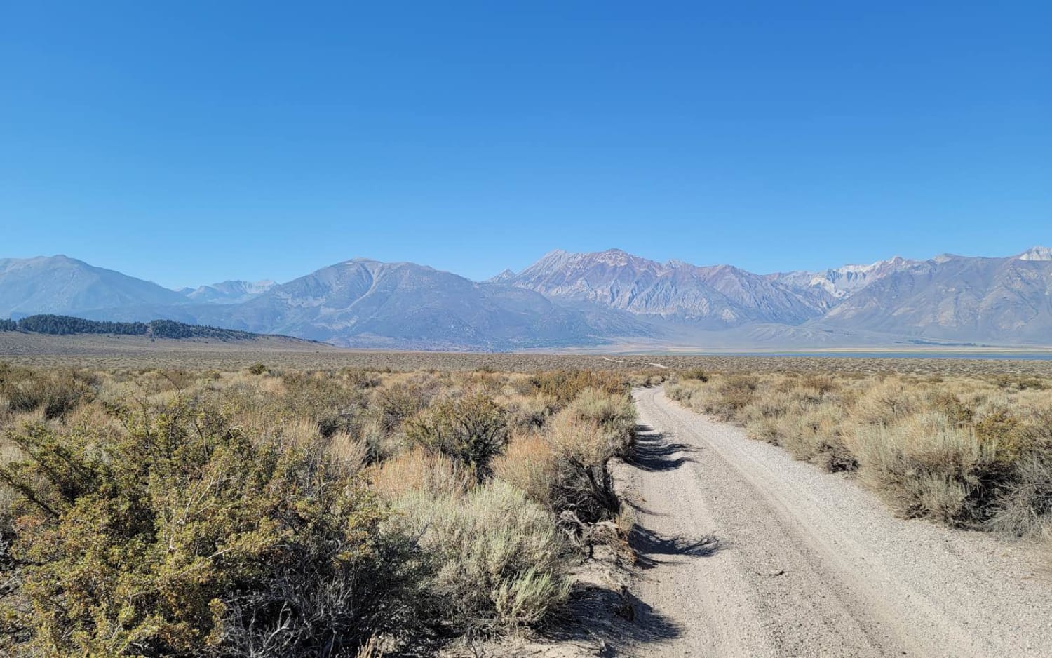
Trail Overview
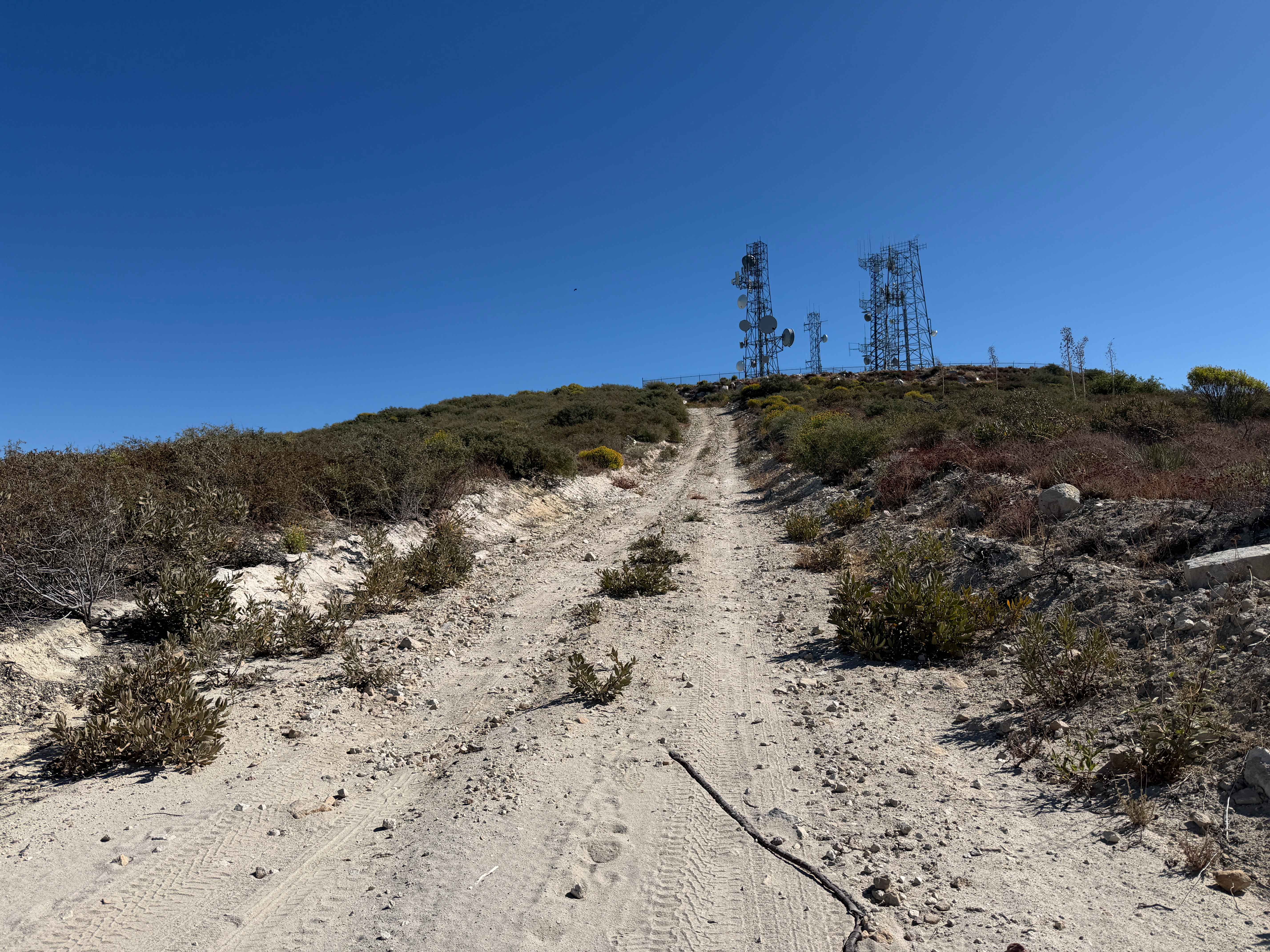
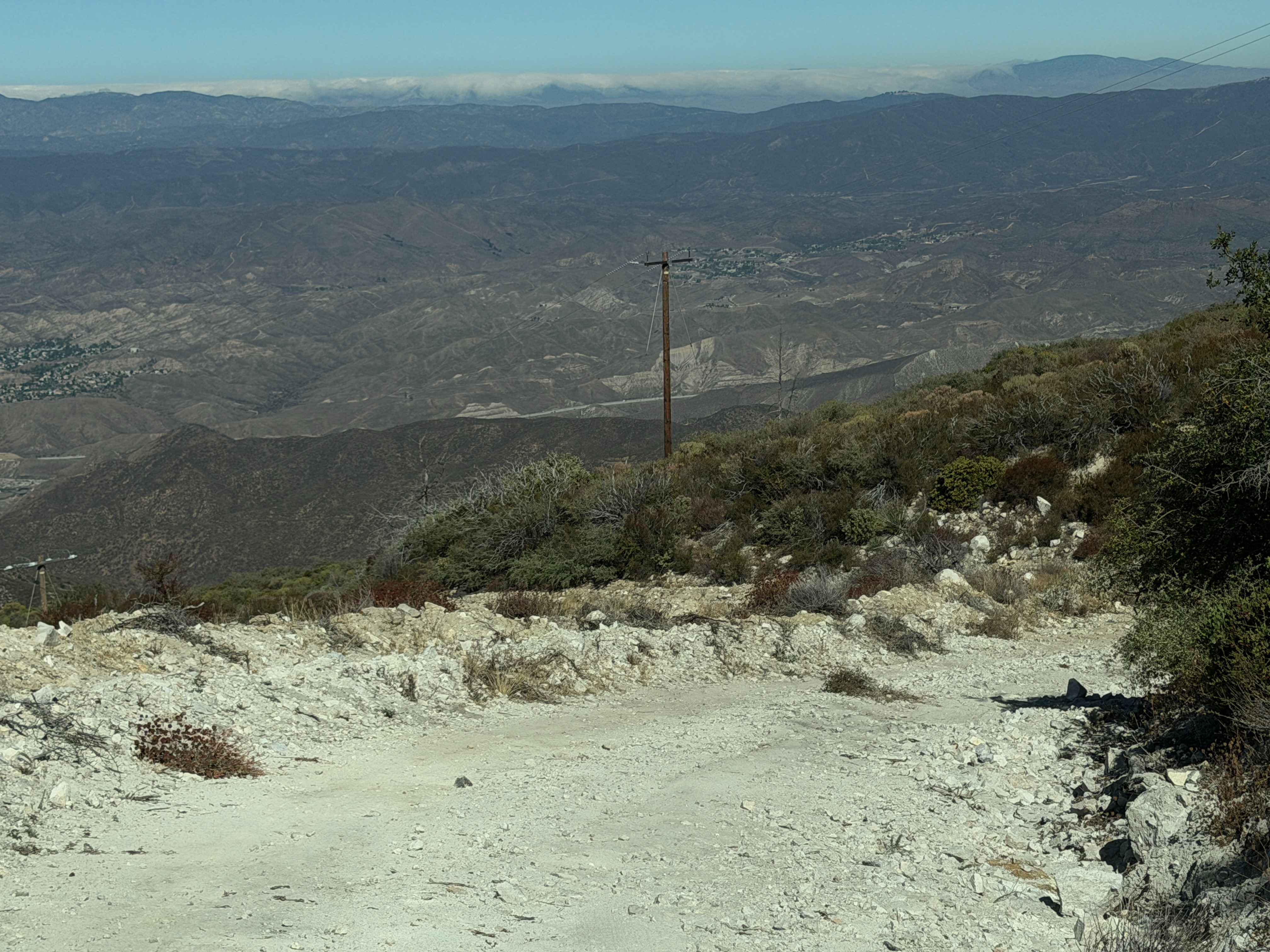
Magic Mountain Summit Trail is a 9.2-mile route traversing the scenic Magic Mountain Wilderness within the Angeles National Forest. Beginning near Magic Mountain Peak, the trail descends 2,610 feet to an access road at the base, which is gated and may or may not be open depending on conditions. This route offers expansive views of the surrounding valleys from multiple vantage points. Notable features include a weathered, abandoned vehicle at a scenic overlook and several shaded stretches with diverse native vegetation. Rated as moderate in difficulty, the descent is generally straightforward but requires careful control on the downhill grades. The return climb to Magic Mountain Peak is more demanding, presenting both challenges and rewarding scenery. A four-wheel-drive, high-clearance vehicle is strongly recommended, as sections of the route are steep, rocky, and rutted, with tall vegetation between the wheel tracks.
Photos of Magic Mountain Summit Trail
Difficulty
The trail is unmaintained and includes several narrow sections. While the descent is manageable at a slow pace, the return climb can be challenging, with steep inclines, small ruts, and loose rock and dirt.
Status Reports
Magic Mountain Summit Trail can be accessed by the following ride types:
- High-Clearance 4x4
- SUV
- SxS (60")
- ATV (50")
- Dirt Bike
Magic Mountain Summit Trail Map
Popular Trails
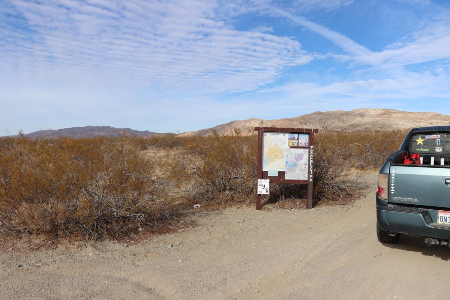
Iron Canyon EP21
Upper Holcomb Creek Road - 3N08
Deer Valley
3S151 Crowley Lake Trail
The onX Offroad Difference
onX Offroad combines trail photos, descriptions, difficulty ratings, width restrictions, seasonality, and more in a user-friendly interface. Available on all devices, with offline access and full compatibility with CarPlay and Android Auto. Discover what you’re missing today!