Adobe Town North Rim
Total Miles
8.9
Technical Rating
Best Time
Spring, Summer, Fall
Trail Type
Full-Width Road
Accessible By
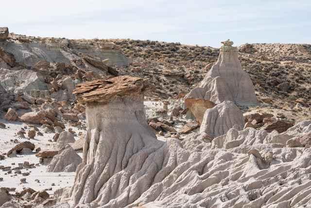
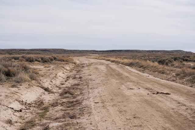
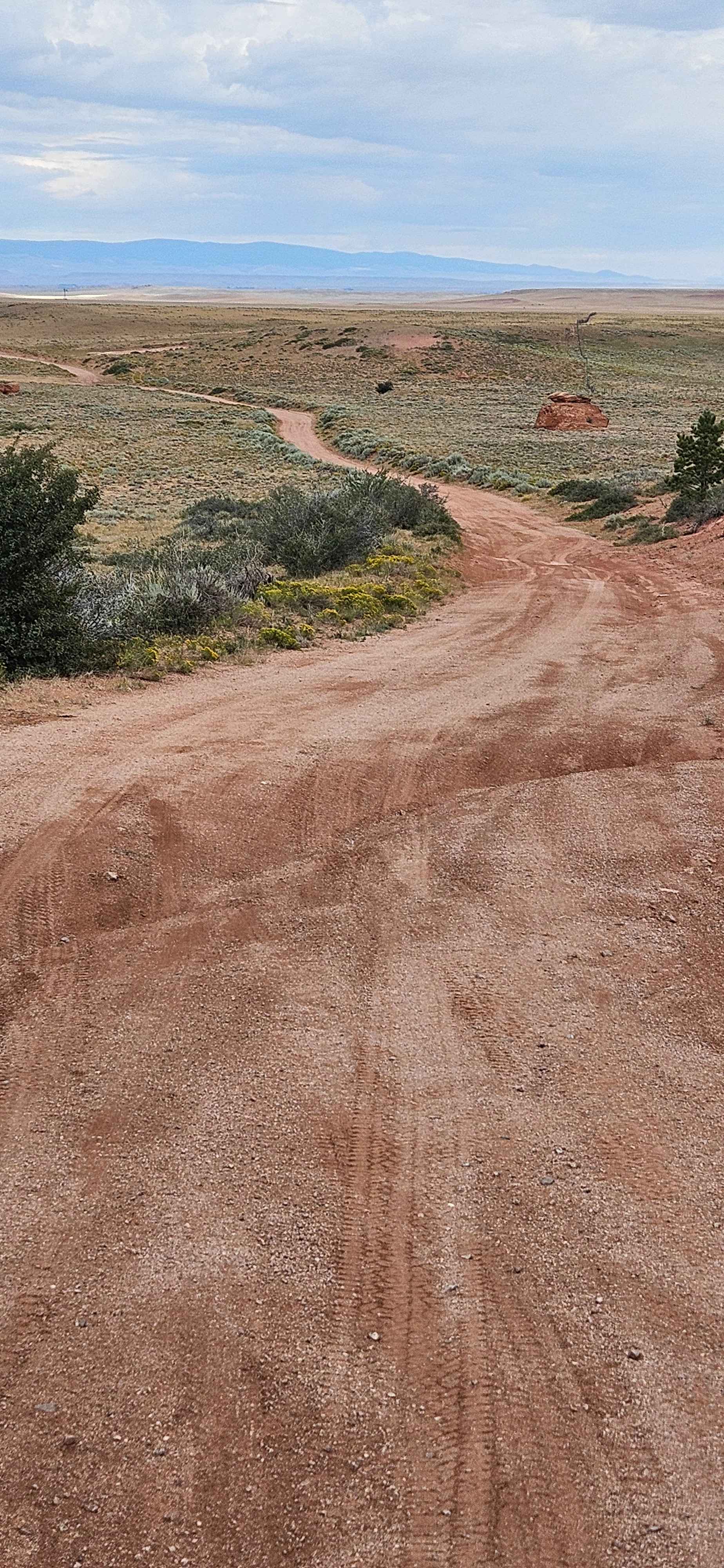
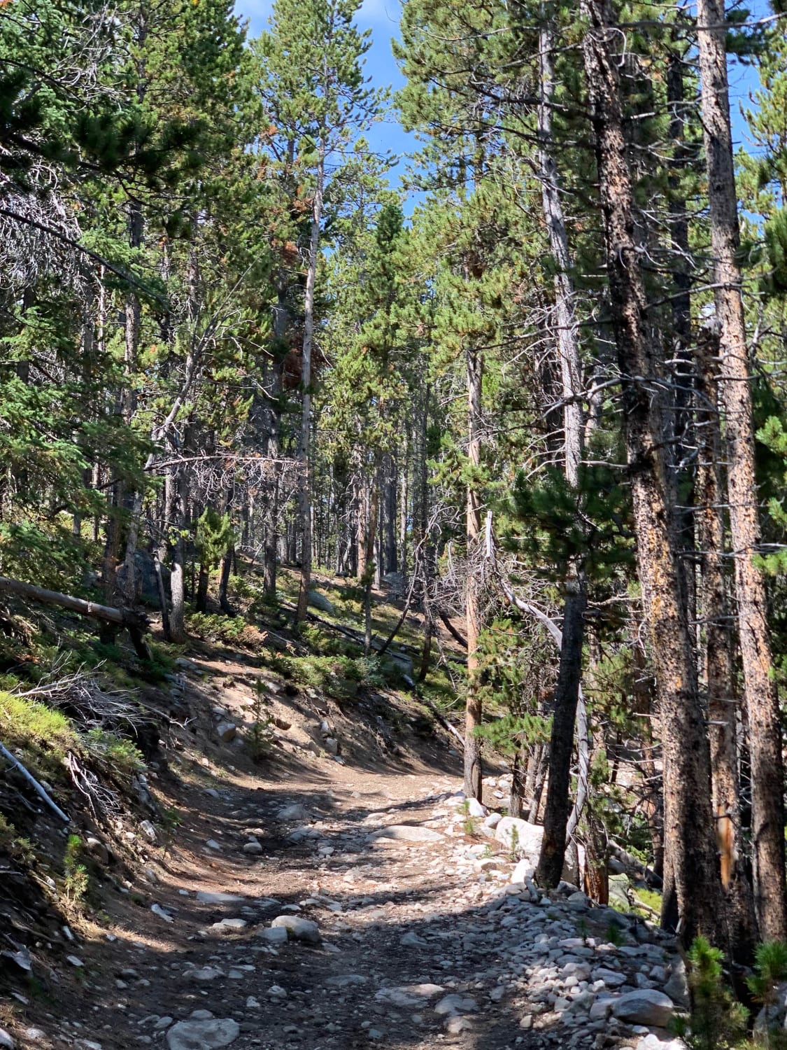
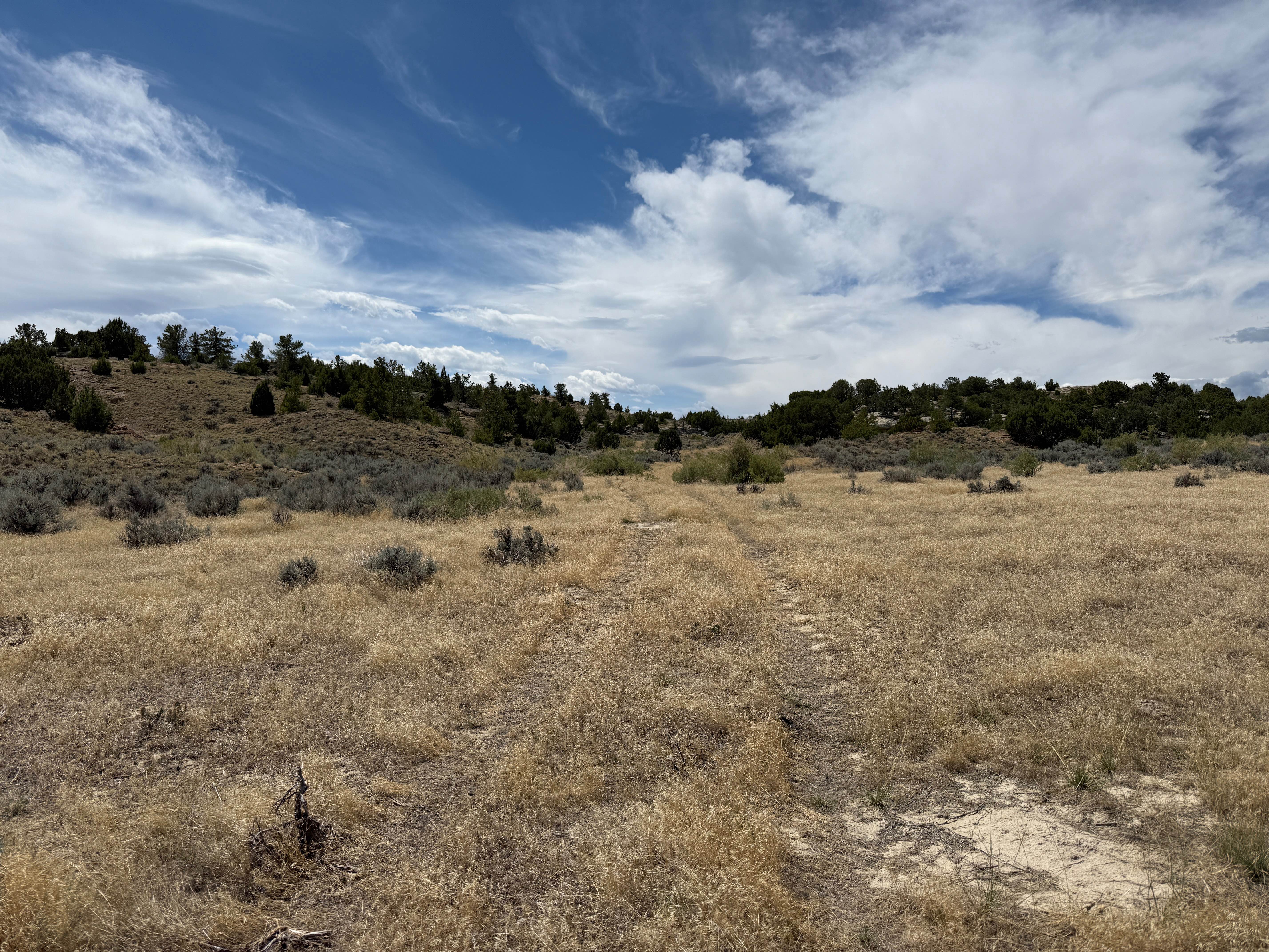
Trail Overview
This is a two-track trail passing through a variety of landscapes leading to Manuel Gap, a high point overlooking the Adobe Town basin and rock formations below. The trail begins in a wide-open plain covered with clusters of sage and yellow flowers in the spring. Wild horses are a frequent sight as the area is also a BLM horse management area. The trail becomes rockier and less apparent in a few sections approaching Manuel Gap as the rock formations close in and become more abundant. Manuel Gap is a great place to further explore the rock formations on foot.
Photos of Adobe Town North Rim
Difficulty
Parts of the trail are sandy or clay. There are a few wash crossings that could become much deeper after precipitation and likely change over time. Sections would likely be impassable when wet and for a few days afterwards. There are also a few sections with off-camber terrain or 6- to 12-inch rocks and ledges.
Status Reports
Adobe Town North Rim can be accessed by the following ride types:
- High-Clearance 4x4
- SUV
- SxS (60")
- ATV (50")
- Dirt Bike
Adobe Town North Rim Map
Popular Trails
Sportsman Lake Road - CR 316
The onX Offroad Difference
onX Offroad combines trail photos, descriptions, difficulty ratings, width restrictions, seasonality, and more in a user-friendly interface. Available on all devices, with offline access and full compatibility with CarPlay and Android Auto. Discover what you’re missing today!