Reeder Spring - FS 43374
Total Miles
1.5
Technical Rating
Best Time
Spring, Summer, Fall
Trail Type
Full-Width Road
Accessible By
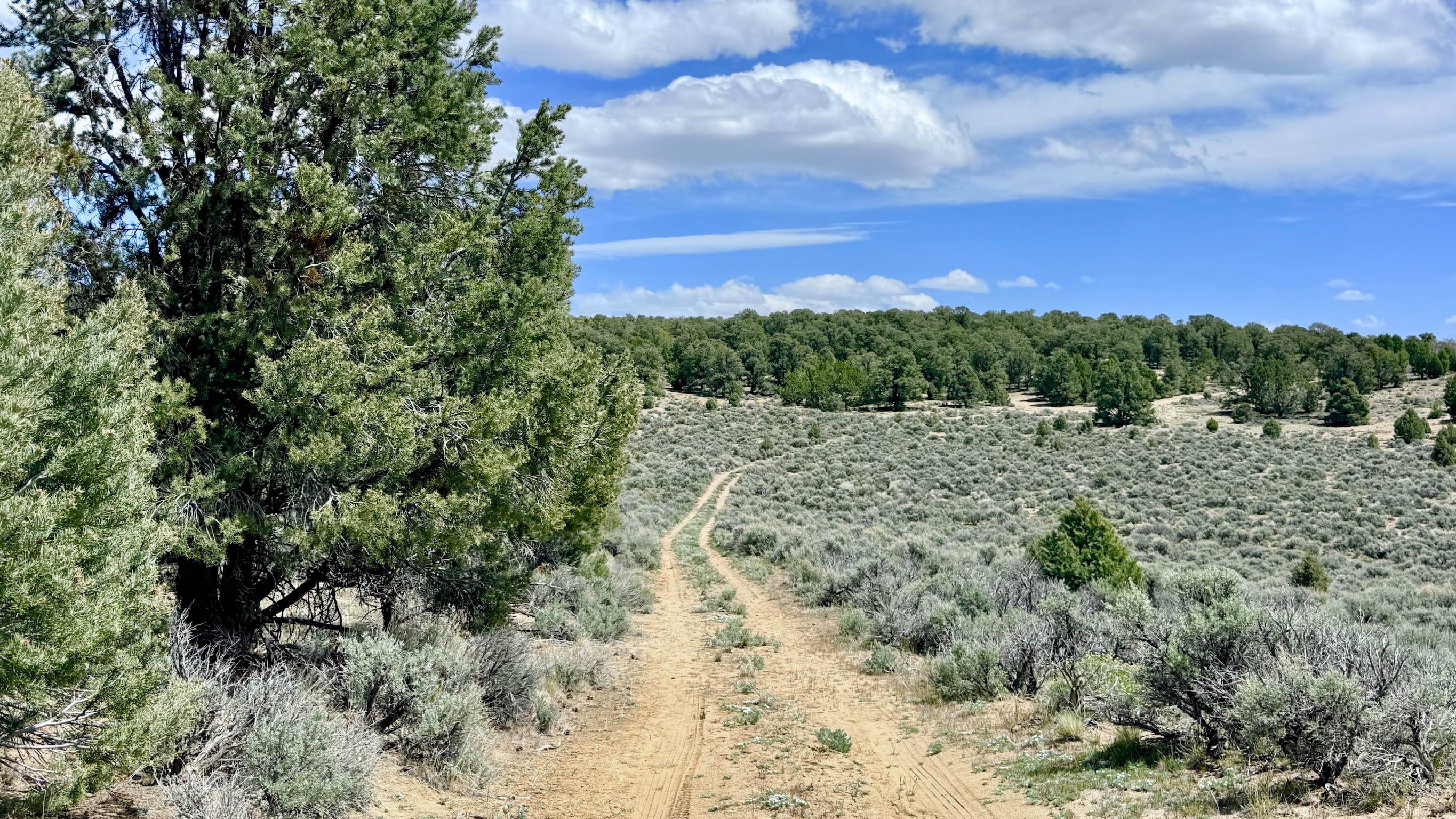
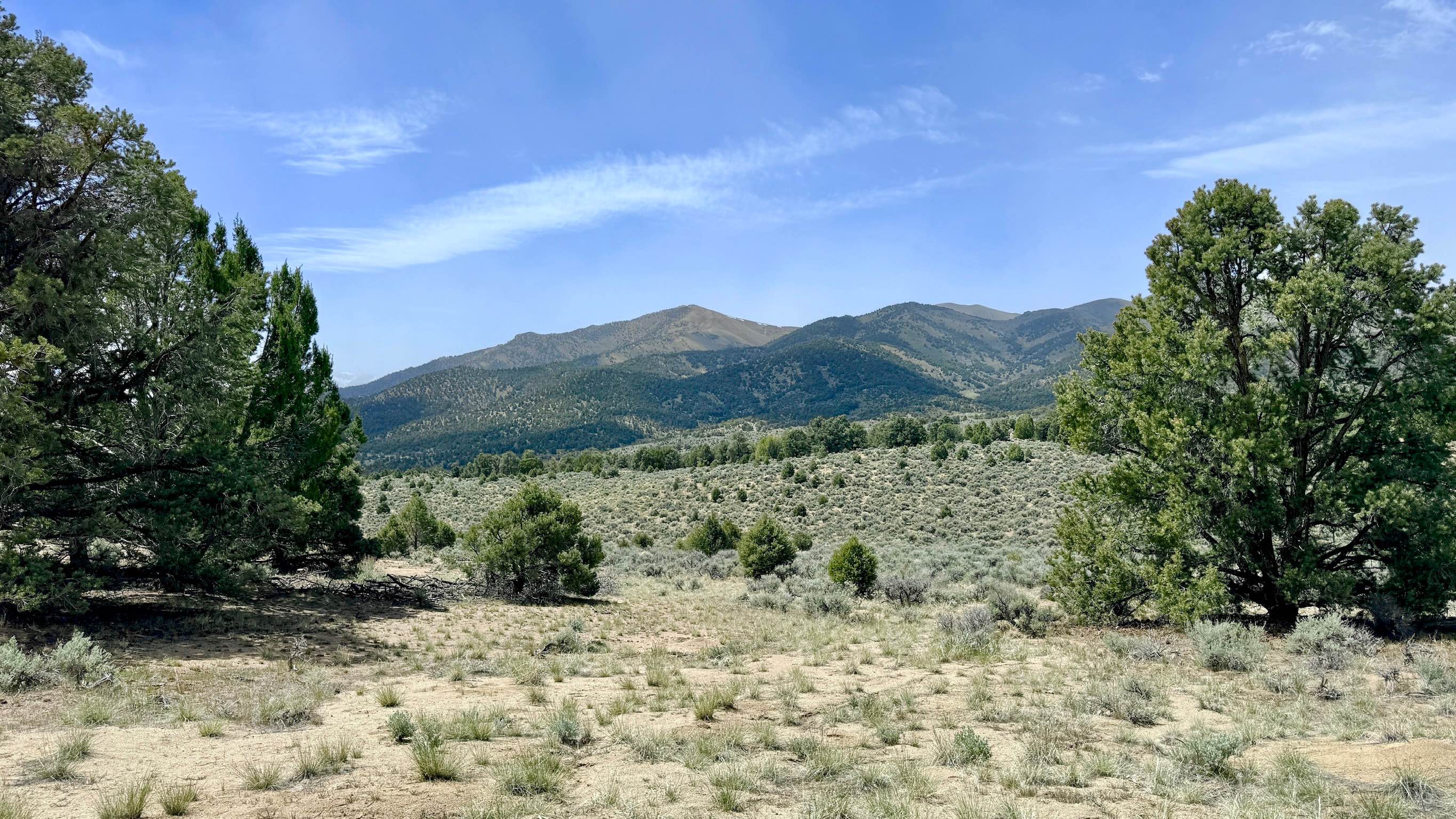
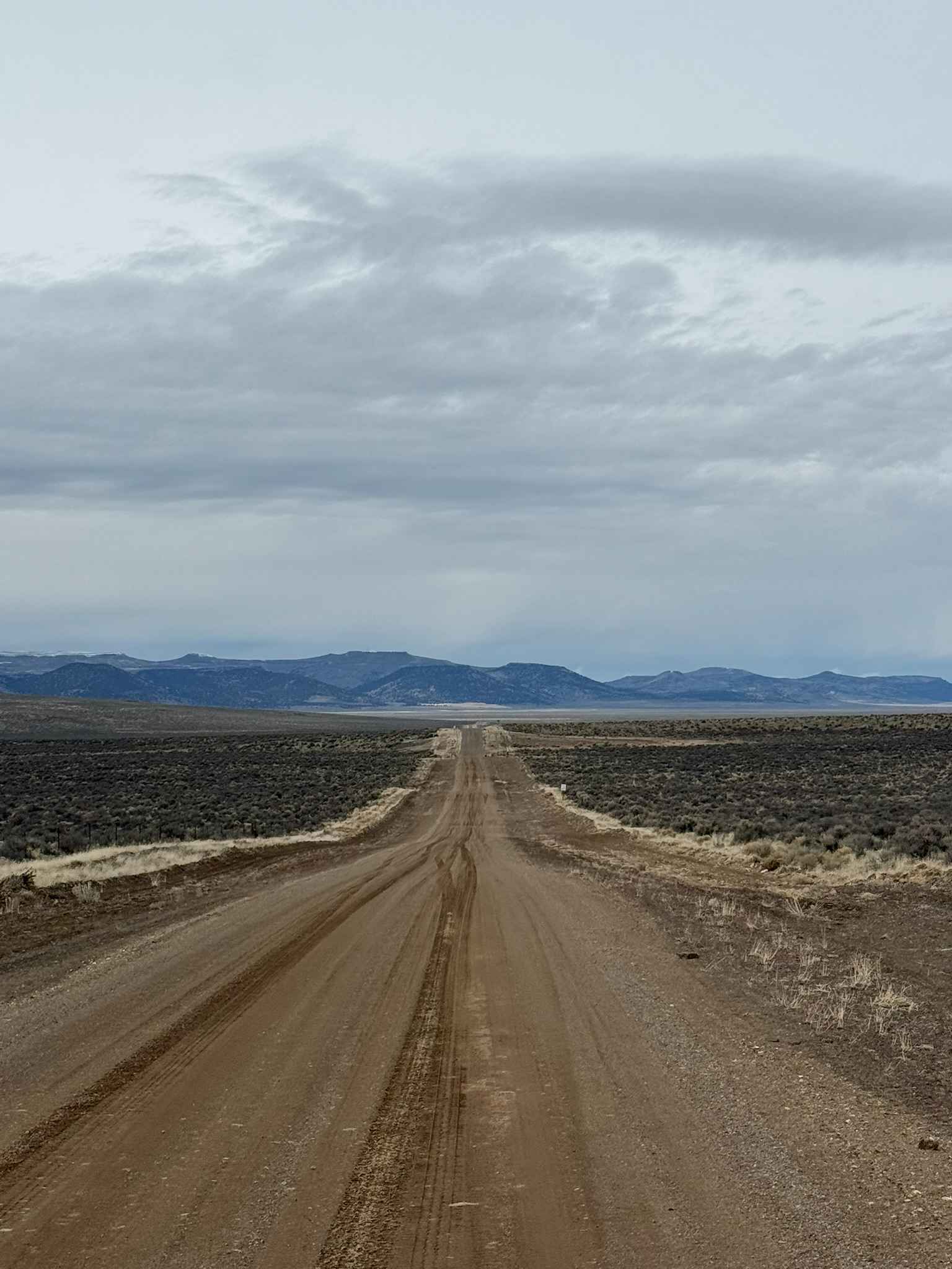
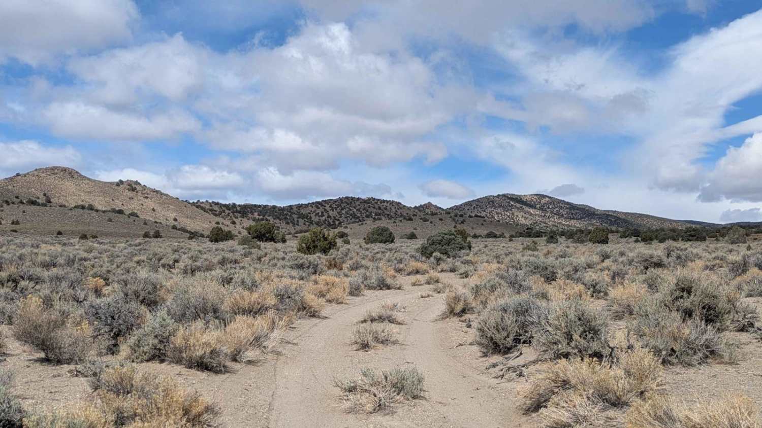
Trail Overview
This is an engaging out-and-back trail that takes you deep into the high-desert woodlands of the Toiyabe Range. The route winds through a dense, aromatic Utah Juniper forest, providing a stark contrast to the nearby open sagebrush. This trail is a premier destination for those seeking a sheltered basecamp; the thick timber offers several flat, dispersed campsites equipped with established fire rings. These spots are highly valued in the Great Basin, as they provide rare and essential cover from the relentless Nevada winds. While older maps may show a loop at the terminus near Reeder Spring itself, nature has begun to reclaim the land. The trail has become significantly overgrown toward the end, and completing the loop would currently require serious trail maintenance or clearing. As a result, most travelers will find the end of the drivable track to be a quiet, secluded dead-end. The driving is spirited, featuring ruts, washouts, and long off-camber sections. There is no cell service in this area. The dense forest and canyon walls completely block all signals. Download offline maps before leaving the Bob Scott Campground area.
Photos of Reeder Spring - FS 43374
Difficulty
Rated a 3 due to the sustained off-camber sections and deep ruts. Careful tire placement is necessary to avoid high-centering or slipping into deep washouts. Be prepared for encroaching vegetation as you approach the spring. Full-size vehicles may experience "Arizona pinstriping" from the juniper branches.
History
Reeder Spring is named after the early pioneers who relied on these precious high-altitude water sources to sustain life in the desert. In the 1860s and 70s, springs like this were the lifeblood of the "carbonari," the charcoal burners who lived in these juniper and pinyon forests. They harvested the timber to create the fuel needed to power the massive silver stamp mills in Austin.
Status Reports
Reeder Spring - FS 43374 can be accessed by the following ride types:
- High-Clearance 4x4
- SUV
- SxS (60")
- ATV (50")
- Dirt Bike
Reeder Spring - FS 43374 Map
Popular Trails
County Road 34

Witney to Lake Mead

The Pass to Pabco
Douglas Spring - 44501
The onX Offroad Difference
onX Offroad combines trail photos, descriptions, difficulty ratings, width restrictions, seasonality, and more in a user-friendly interface. Available on all devices, with offline access and full compatibility with CarPlay and Android Auto. Discover what you’re missing today!