5100
Total Miles
11.3
Technical Rating
Best Time
Spring, Summer, Fall
Trail Type
Full-Width Road
Accessible By
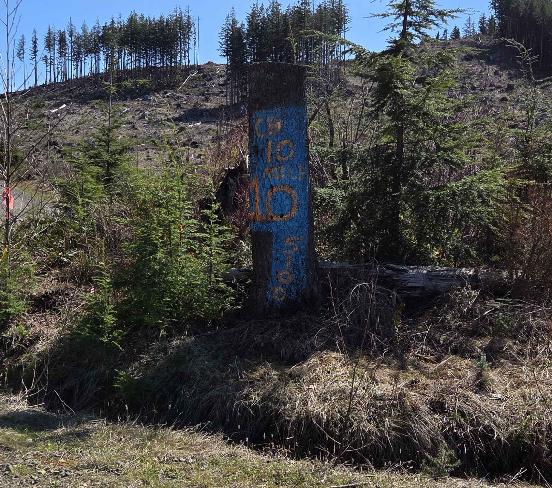
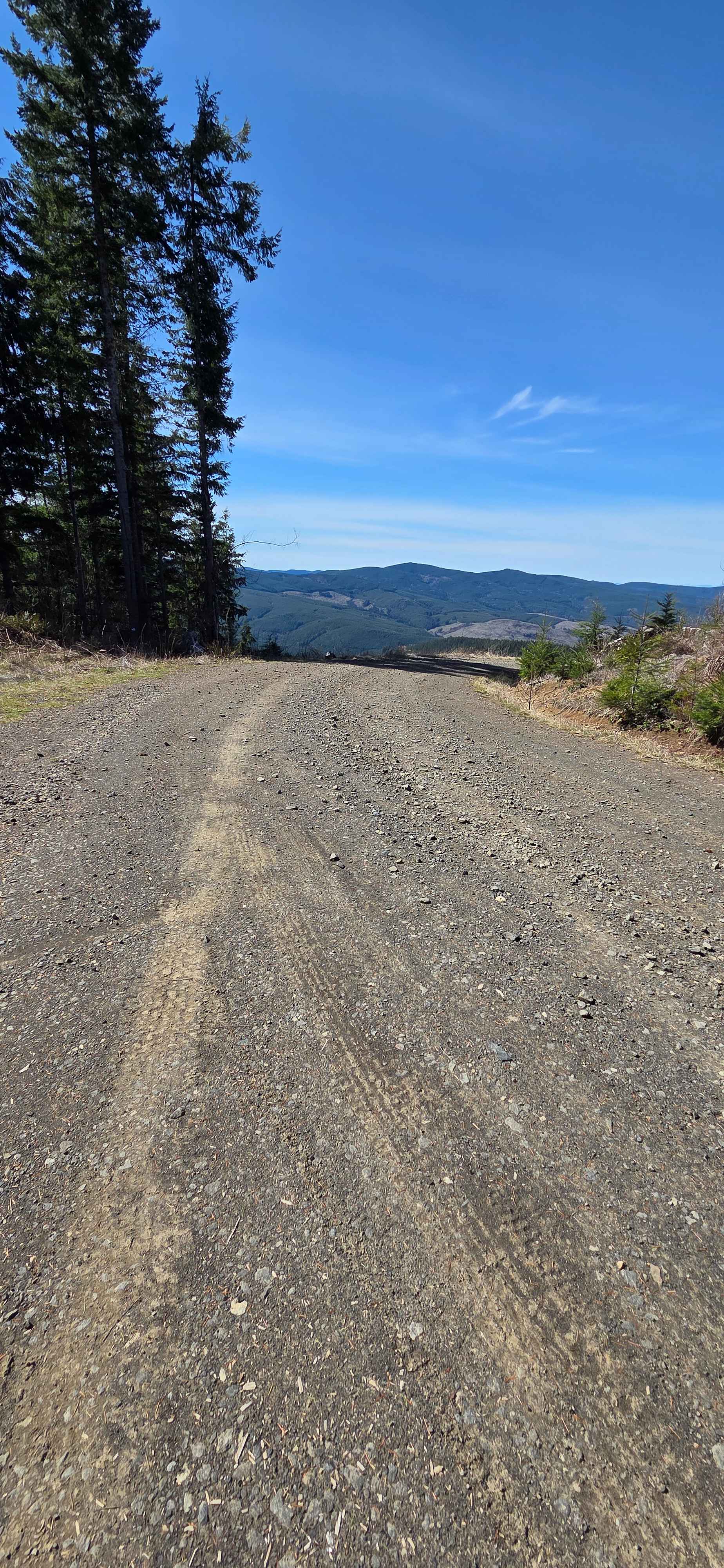
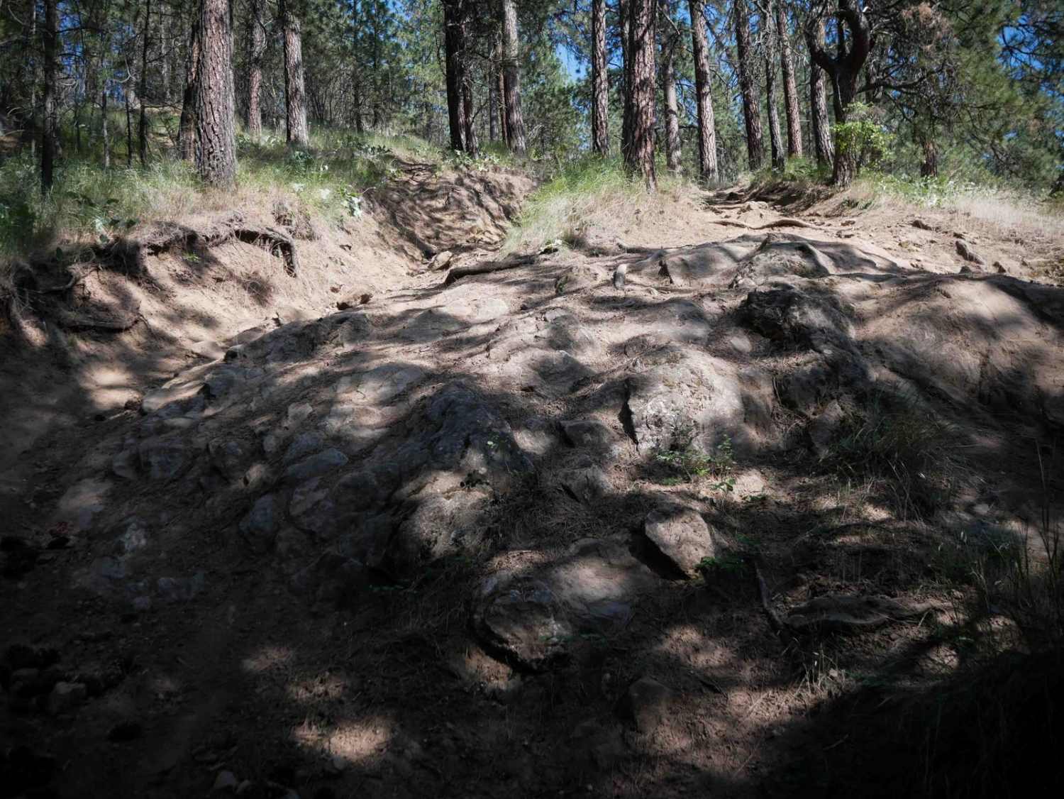
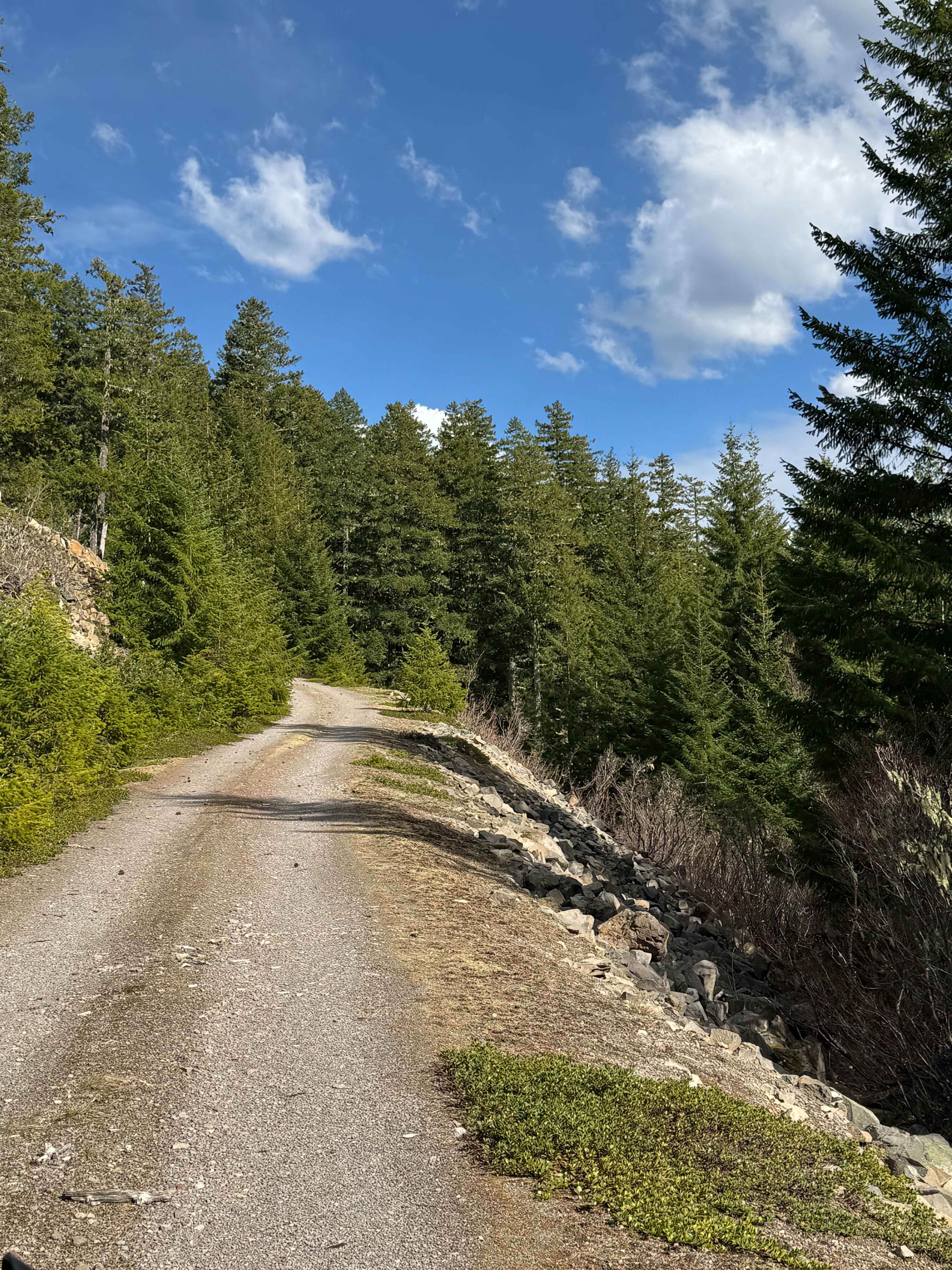
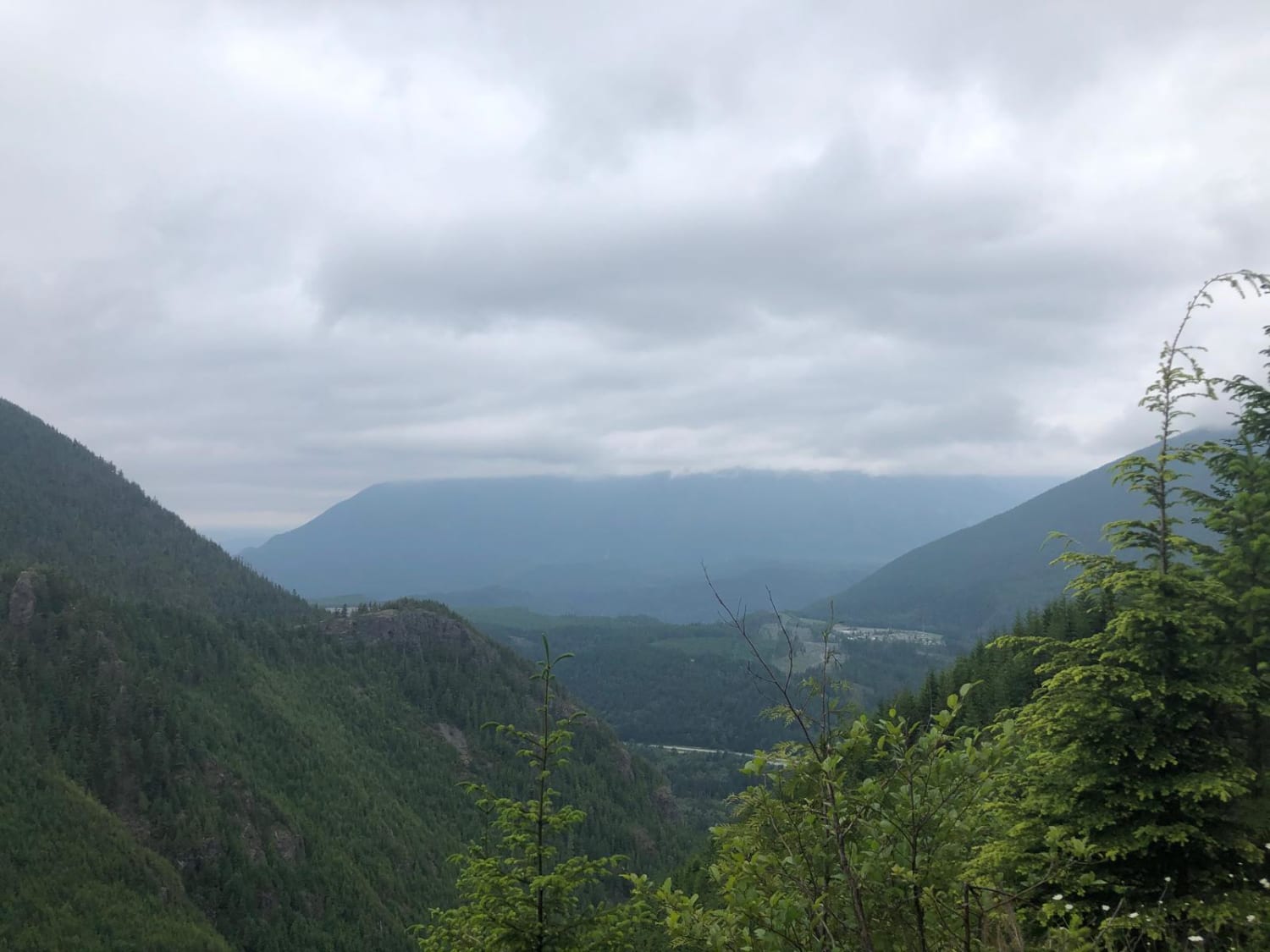
Trail Overview
This trail is primarily gravel and single vehicle width, with many areas along the way to pass oncoming traffic (if you see any). It is easily accessible and traversable by most vehicles. You may have to dodge a fallen rock or pothole here and there, but this will not distract from the beauty of the surrounding views of the South Fork of the Toutle River and Mount St. Helens. There are many drainages along the way that provide multiple opportunities for viewing waterfalls in the springtime. This route ultimately ends right after crossing the South Fork of the Toutle at a locked gate that accesses Weyerhaeuser lands on the south side of the river, but should be run to the end, as the river at this crossing is amazing. Retrace the route just a couple of miles from the end to the intersection of the 5600 Road, and continue your adventure to the east.
Photos of 5100
Difficulty
Narrow at times, but with many places to pass. May encounter a stray rock or a few potholes, but this trail is passable for most vehicles in dry conditions.
History
Public lands maintained by the Washington State Deptartment of Natural Resources.
Status Reports
5100 can be accessed by the following ride types:
- High-Clearance 4x4
- SUV
- SxS (60")
- ATV (50")
- Dirt Bike
5100 Map
Popular Trails

4104504 - Deep Woods Adventure
Cort Road- FS 1276
The onX Offroad Difference
onX Offroad combines trail photos, descriptions, difficulty ratings, width restrictions, seasonality, and more in a user-friendly interface. Available on all devices, with offline access and full compatibility with CarPlay and Android Auto. Discover what you’re missing today!