Sunshine Ridge
Total Miles
2.9
Technical Rating
Best Time
Spring, Summer, Fall
Trail Type
High-Clearance 4x4 Trail
Accessible By
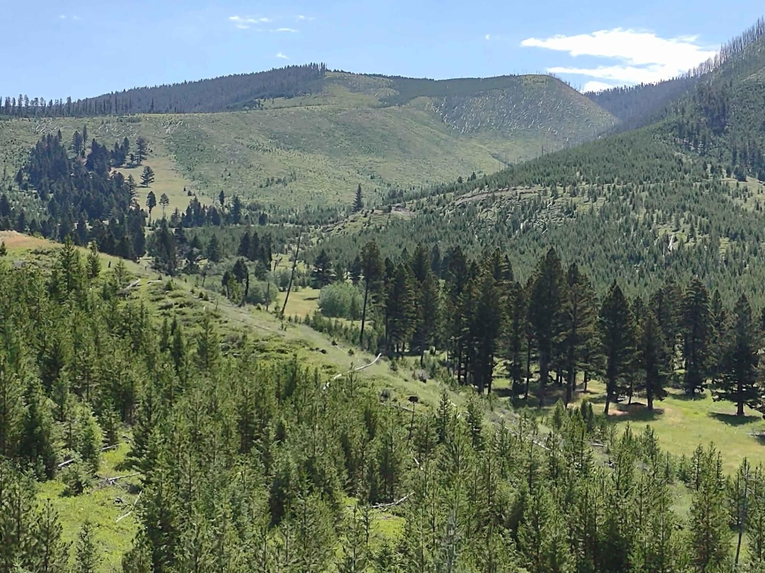
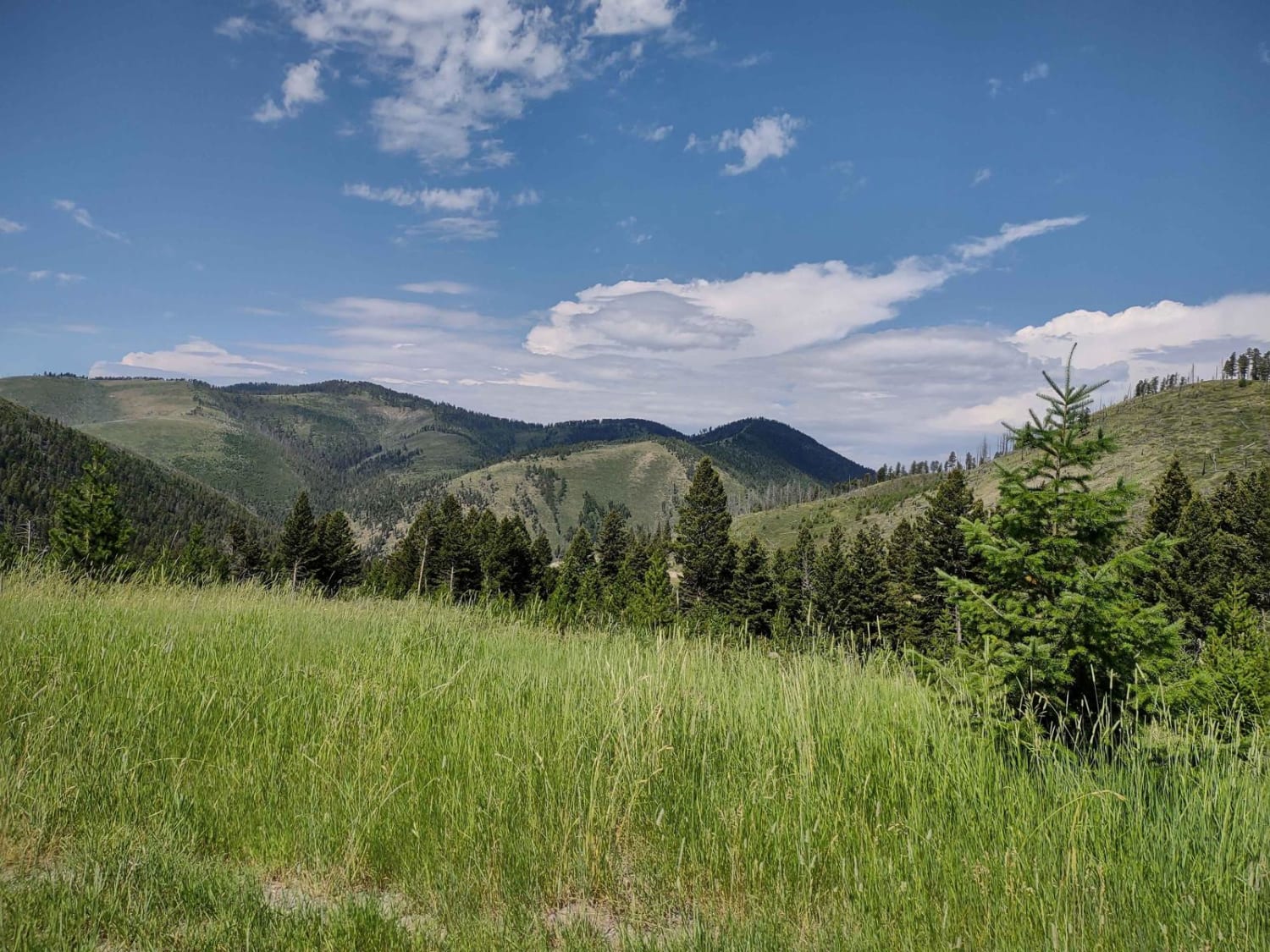
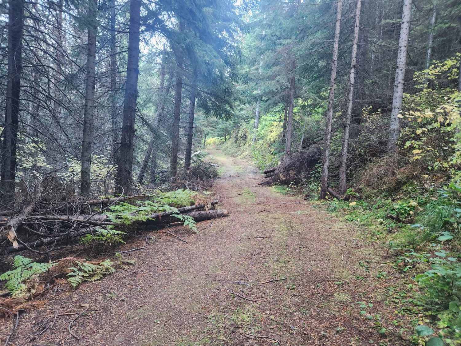
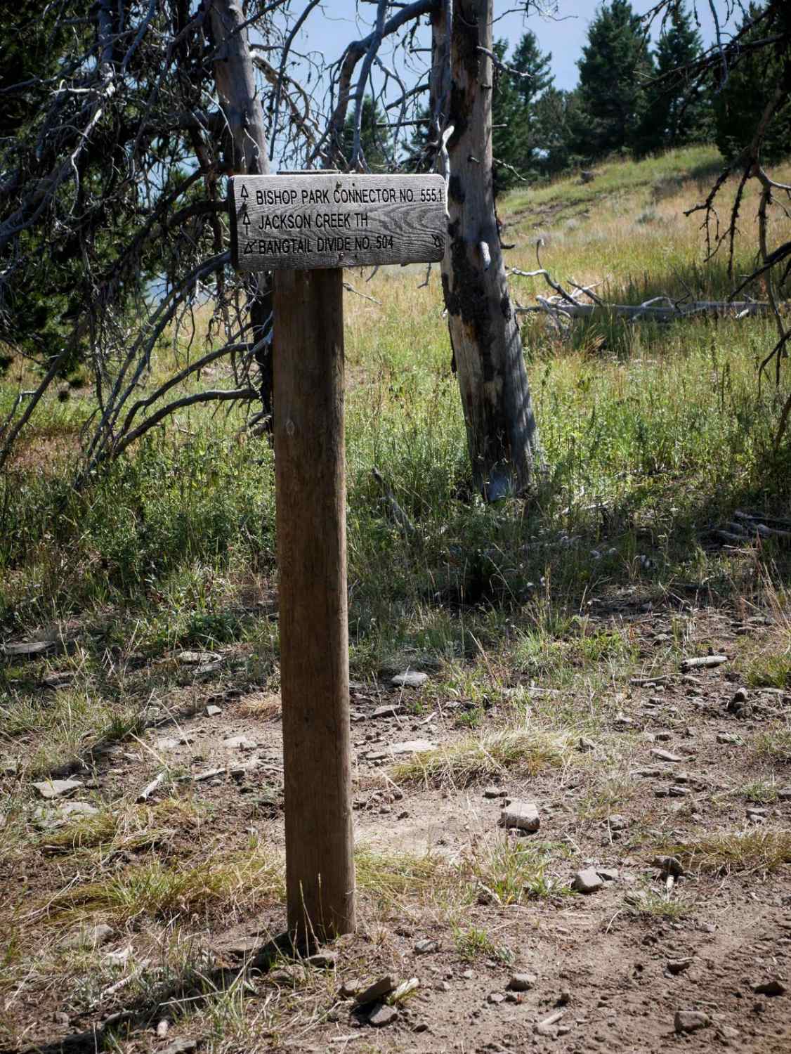
Trail Overview
This track goes about 3 miles north and west of the Magpie Creek to Avalanche Creek Trail. It goes across the Helena National Forest to the boundary with private property. The highest elevation on this trail is 6944 feet. The scenery is spectacular, both of the valley and of Canyon Ferry Lake, the forest is healthy and well-maintained, and deer, elk, moose and bears all call this area home.
Photos of Sunshine Ridge
Difficulty
Early spring you may find snow and/or mud, or after a heavy rain, it will be muddy, but otherwise an easy trail.
History
This section of the Helena National Forest is 133K acres. The many settlers' cabins that still stand in this area are a testament to the sturdy, resilient people who came west in the 1800s. Canyon Ferry Lake is a man-made reservoir, built to generate electricity, provide irrigation and help control flooding. It is Montana's third largest body of water. The original ferry hauled the stagecoach and residents across the river. The toll was 25 cents for a horse, 50 cents for a team. The ferry was anchored by cables that were strung across the Missouri River. A dam was built in 1896 by the Missouri River Power Company, which made the river below the dam too rough for the ferry, so it was abandoned. Canyon Ferry residents then had to cross the river upstream in rowboats until the first county bridge was built in 1899.
Status Reports
Sunshine Ridge can be accessed by the following ride types:
- High-Clearance 4x4
- SxS (60")
- ATV (50")
- Dirt Bike
Sunshine Ridge Map
Popular Trails

Storm Castle to Line Creek Road

Larch Camp Road
The onX Offroad Difference
onX Offroad combines trail photos, descriptions, difficulty ratings, width restrictions, seasonality, and more in a user-friendly interface. Available on all devices, with offline access and full compatibility with CarPlay and Android Auto. Discover what you’re missing today!