Cromie Creek
Total Miles
10.0
Technical Rating
Best Time
Summer
Trail Type
High-Clearance 4x4 Trail
Accessible By
Trail Overview
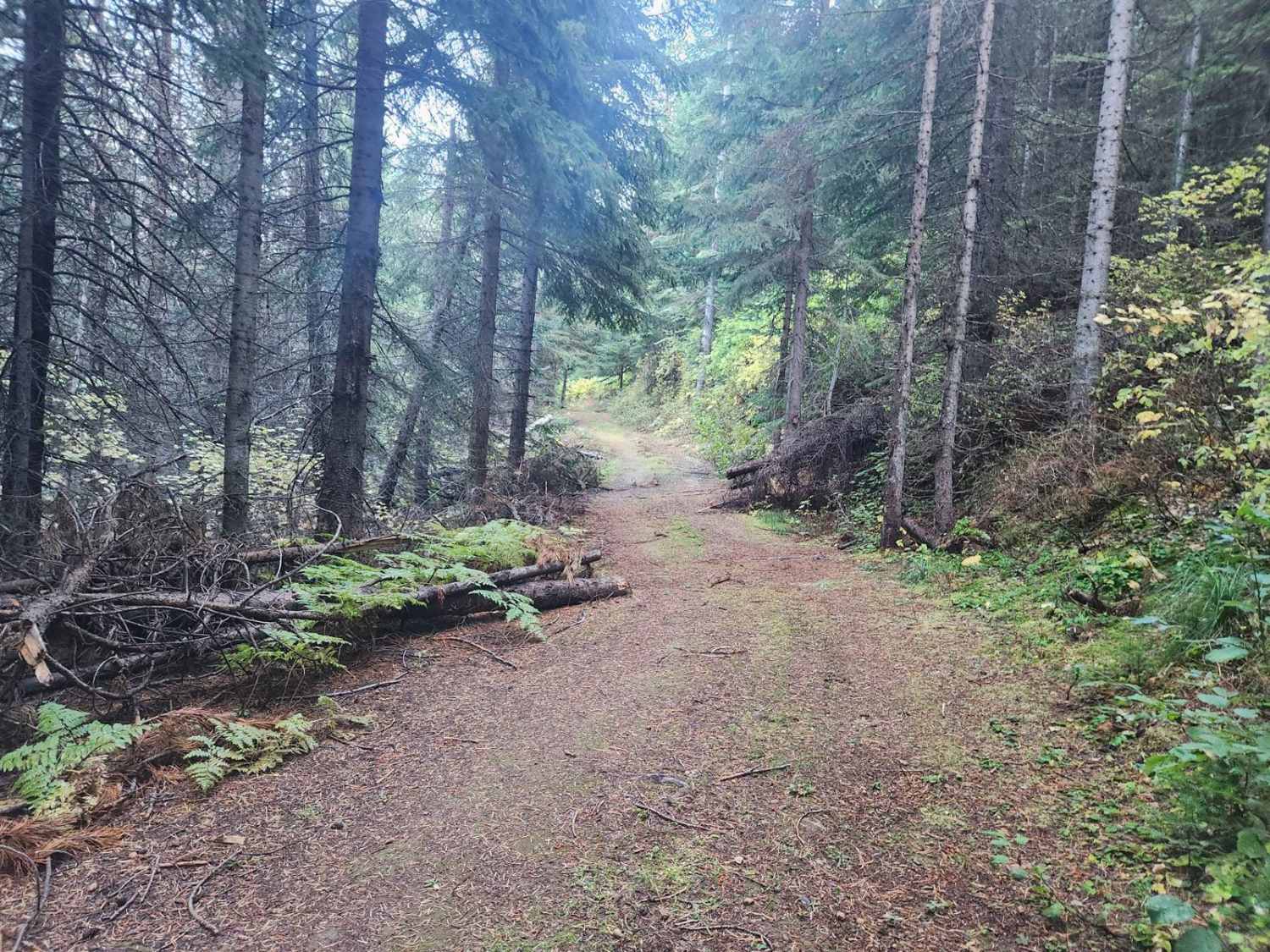
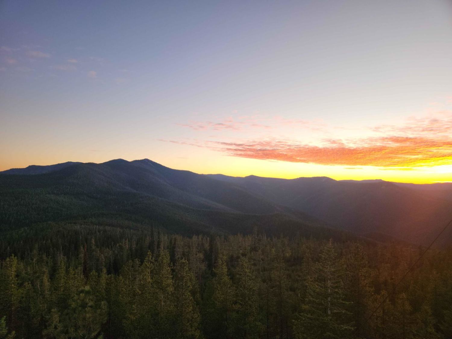
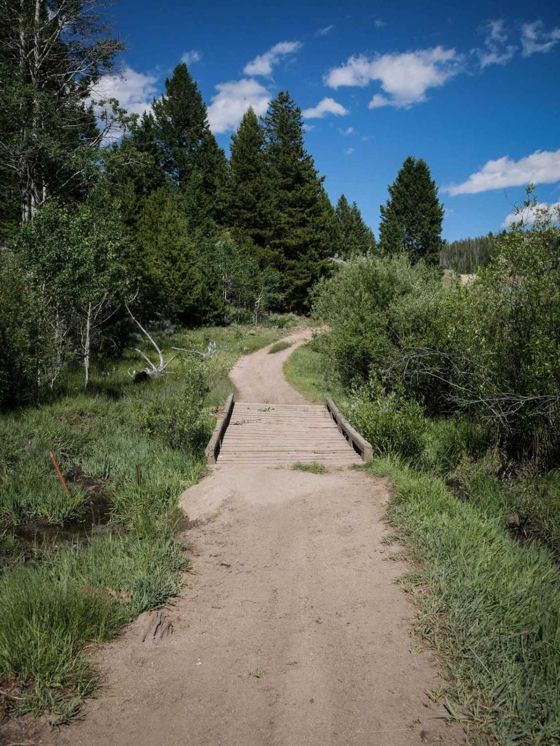
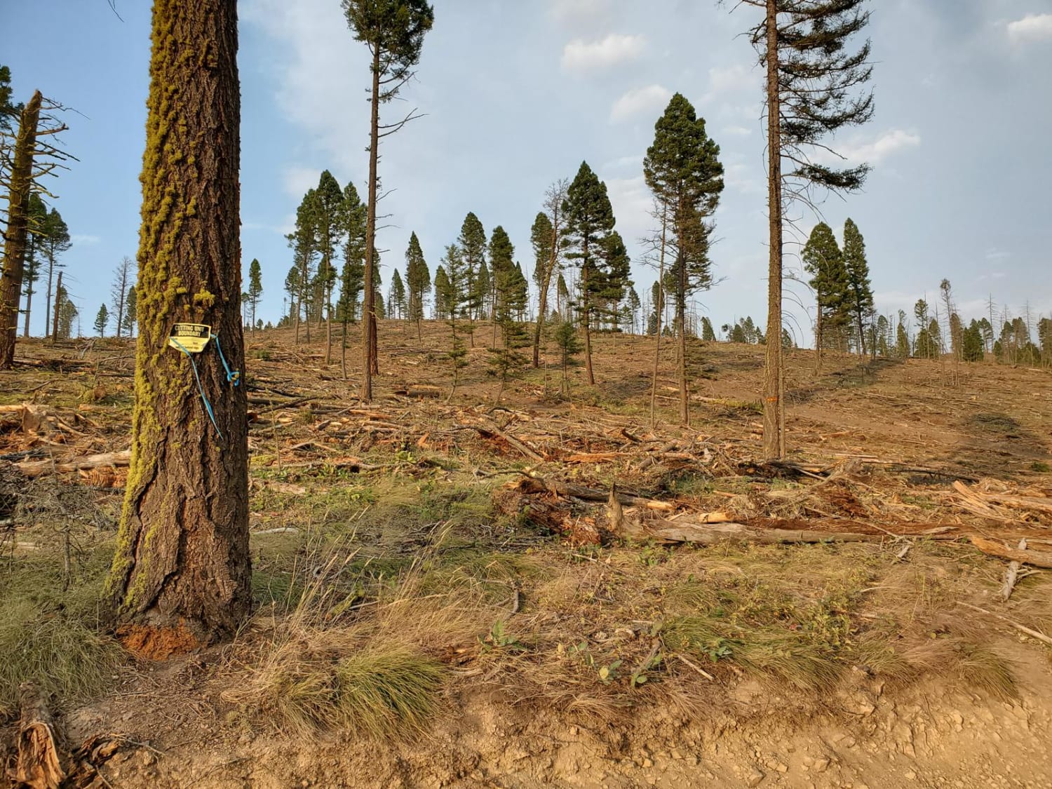
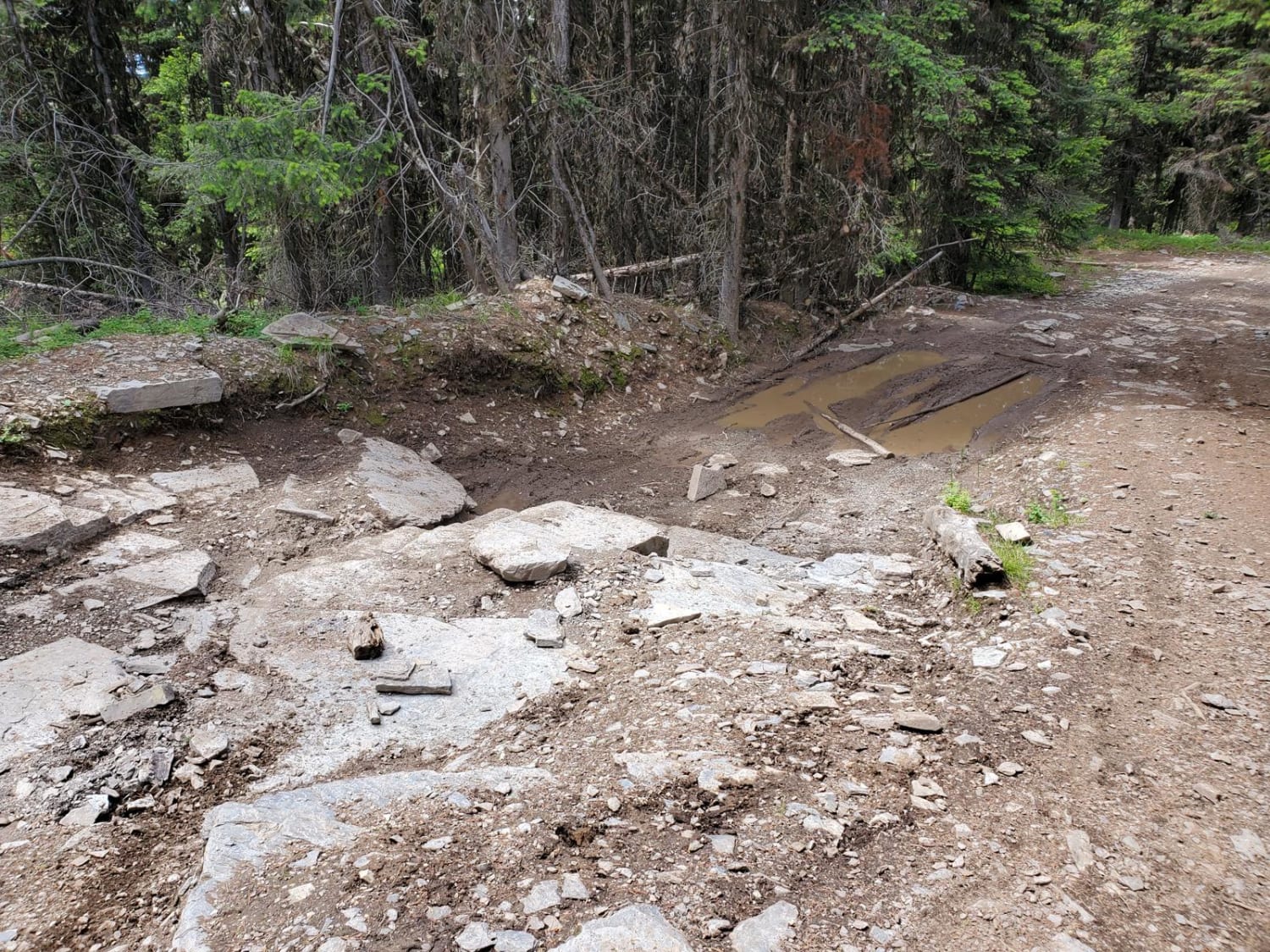
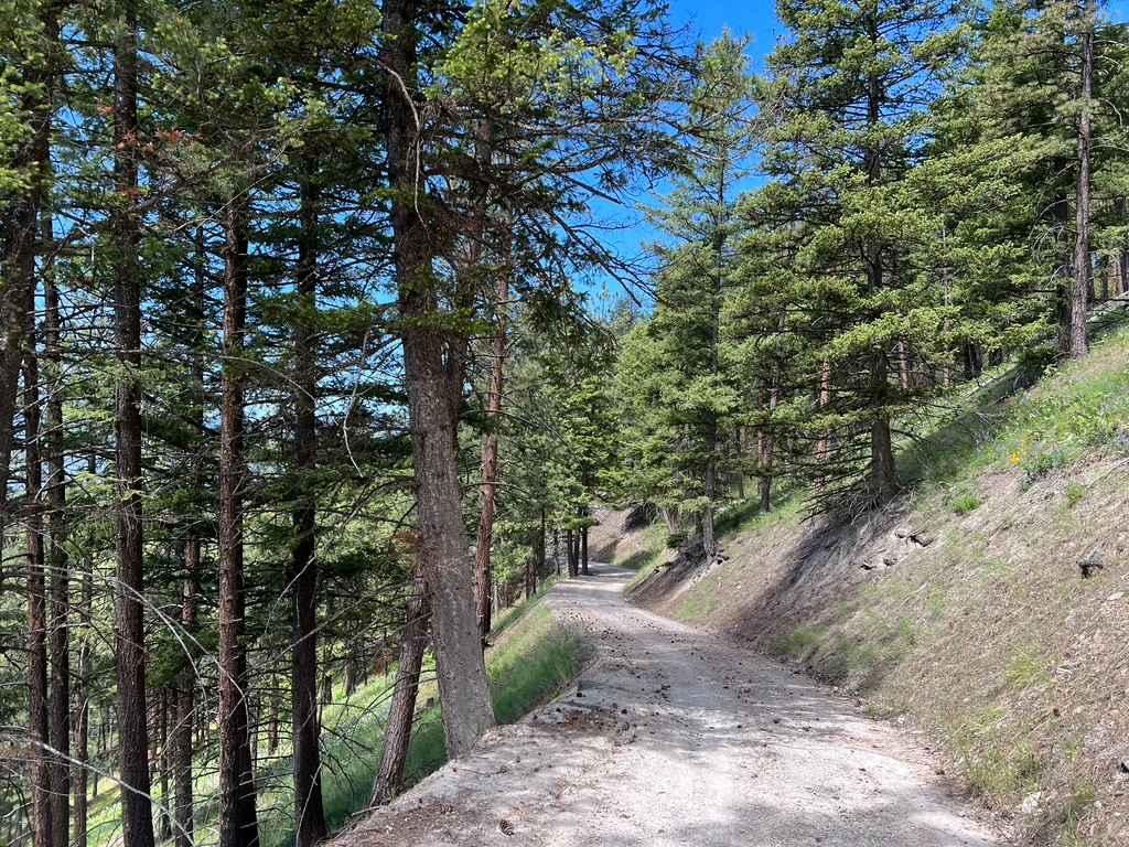
Cromie Creek is USFS road #3818 in the Bitterroot Mountains of western Montana, close to the Idaho border. This infrequently used route leads to the terminating junction near the base of the Up Up fire lookout tower. The primary route, via Canyon Creek, also terminates at this junction, though the gate from Cromie Creek is permanently gated, and the lock code will not work to access Up. This route is closed occasionally by a gate near the 5.9-mile mark and may be impassible in winter. The route is two-track and has some overgrown sections. You should have a saw and a shovel for downed trees. There are no campsites, facilities, or bathrooms on this route. The pine forest is thick, and deer, eagles, bears, and other wildlife frequent the area. Trail conditions may change with weather conditions. Deer Creek Campground is near Interstate 90, part of the Lolo National Forest.
Photos of Cromie Creek
Difficulty
This area is remote, unmaintained, with no local services. Travel at your own risk.
Status Reports
Cromie Creek can be accessed by the following ride types:
- High-Clearance 4x4
- SxS (60")
- ATV (50")
- Dirt Bike
Cromie Creek Map
Popular Trails
Dalton Mountain Road
Blacktail Wild Bill OHV
Butler Creek Loop 456
The onX Offroad Difference
onX Offroad combines trail photos, descriptions, difficulty ratings, width restrictions, seasonality, and more in a user-friendly interface. Available on all devices, with offline access and full compatibility with CarPlay and Android Auto. Discover what you’re missing today!