County Road 20
Total Kilometers
4.7
Technical Rating
Best Time
Spring, Summer, Fall, Winter
Trail Type
Full-Width Road
Accessible By
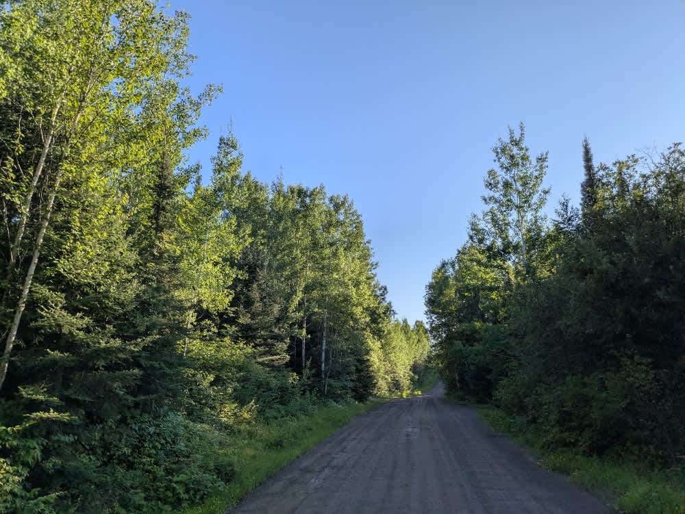
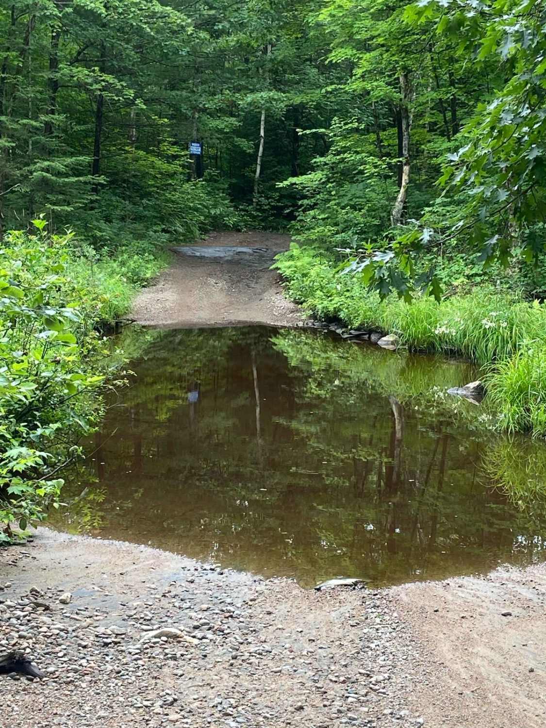
Trail Overview
County Road 20 is accessed from the paved Gunflint Road and serves as a central route through a busy tourist area. The trail is wide and well-maintained gravel, winding through a forested landscape with a mix of ascents and descents. This area is home to several lodges, canopy tour operators, canoe outfitters, and private residences, making it a hub of outdoor activity. Public water access is available, and both camping and lodging can be found along the route. Due to the high level of vehicle and foot traffic, especially during peak tourist seasons, it's important to drive slowly and stay alert. While the area offers numerous recreational opportunities, the trail itself lacks basic amenities such as trash disposal and potable water. Cell service may be inconsistent or limited, particularly in more remote sections, so visitors should plan accordingly before heading out.
Photos of County Road 20

Difficulty
This trail is well-maintained and used daily by residents and adventurers. The route is wide and clear of debris, with established tread and minimal overgrowth--ideal for a smooth and scenic drive or hike.
Status Reports
County Road 20 can be accessed by the following ride types:
- High-Clearance 4x4
- SUV
- SxS (60")
- ATV (50")
- Dirt Bike
County Road 20 Map
Popular Trails
Scotch Line
Quinn Loop Backdoor Trail
Concession Lake

North Carp Lake Road (Tribag mine Alternate)
The onX Offroad Difference
onX Offroad combines trail photos, descriptions, difficulty ratings, width restrictions, seasonality, and more in a user-friendly interface. Available on all devices, with offline access and full compatibility with CarPlay and Android Auto. Discover what you’re missing today!