Scotch Line
Total Kilometers
5.1
Technical Rating
Best Time
Spring, Summer, Fall
Trail Type
High-Clearance 4x4 Trail
Accessible By
Trail Overview
The Scotch Line Off-Road Trail is situated in the scenic Haliburton Highlands region, near Minden, Ontario. This area is known for its rugged terrain, dense forests, and numerous lakes, providing a perfect backdrop for outdoor activities. The trail offers a variety of terrain types, including challenging hills, rocky sections, mud pits, and forested paths. It caters to different skill levels, from beginners to experienced riders looking for more technical challenges.
Photos of Scotch Line
Difficulty
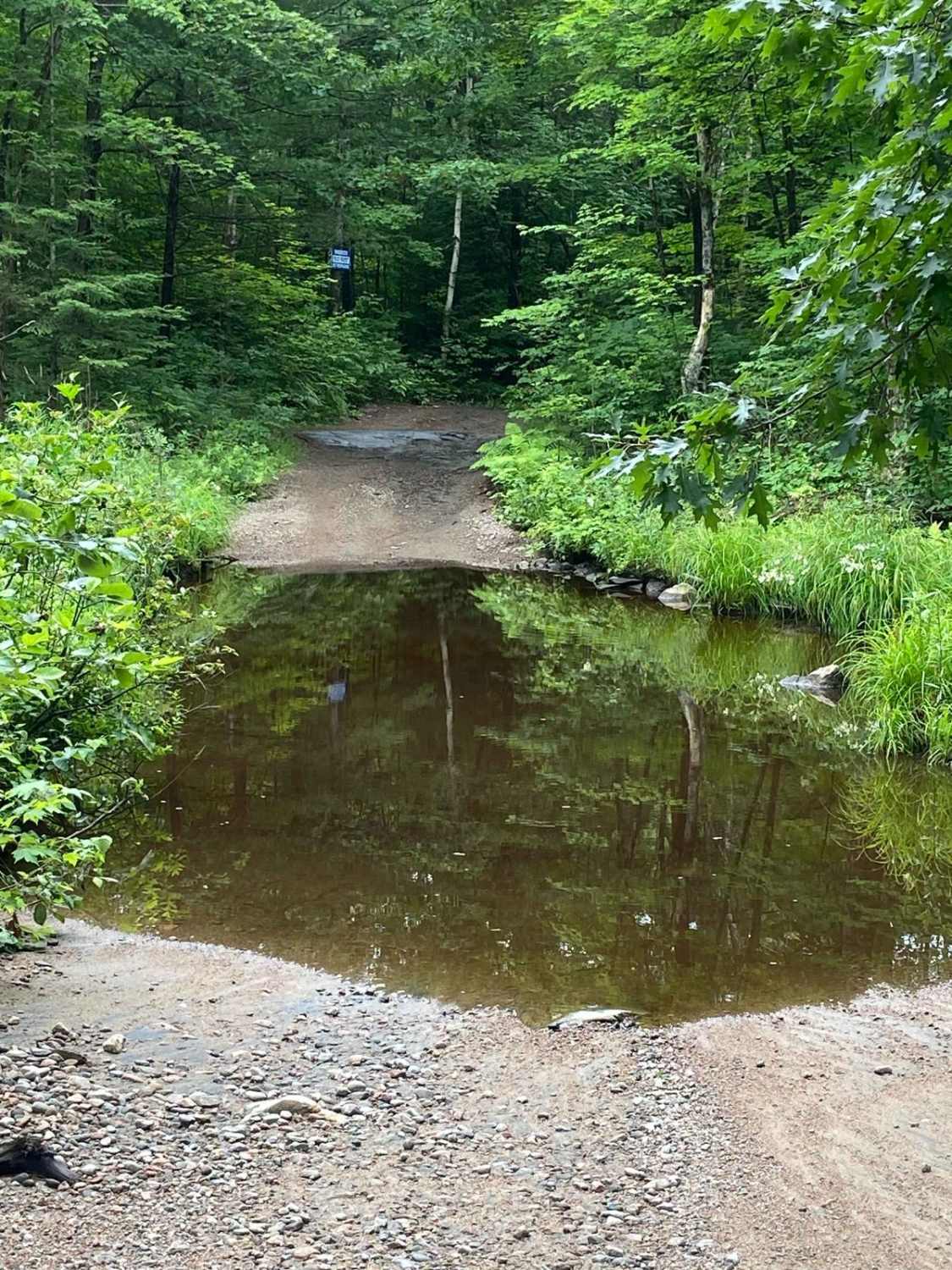
The trail offers a challenging array of obstacles, including rocks, boulders, loose terrain, mud pits, water crossings, and steep inclines and descents. Navigating these elements demands precise maneuvering and advanced driving skills. Trail conditions are often uneven and unpredictable. Water crossings vary from shallow to depths of up to 2.5 feet. While a snorkel isn't necessary, caution is advised. Approximately one hour into the trail, you'll encounter a significant water crossing or pond. It's crucial to keep left and follow along the rock wall in this section, where the water depth reaches approximately 2.5 feet. Straying from the rock wall can result in serious challenges, even for vehicles equipped with 40-inch tires. Be sure to tread lightly.
History
The Scotch Line Trail, also known as the Minden Hydro Line, follows the northern boundary of Queen Elizabeth II Wetlands Provincial Park. Minden, situated along the Gull River, was established in 1852 and is located within the Haliburton Highlands, historically home to the Iroquois Native people.
Status Reports
Scotch Line can be accessed by the following ride types:
- High-Clearance 4x4
- ATV (50")
- Dirt Bike
Scotch Line Map
Popular Trails
Concession Lake
Sandstone Lake
Rudy-Vera Memorial Trail
The onX Offroad Difference
onX Offroad combines trail photos, descriptions, difficulty ratings, width restrictions, seasonality, and more in a user-friendly interface. Available on all devices, with offline access and full compatibility with CarPlay and Android Auto. Discover what you’re missing today!
