Penniac Gas Line
Total Kilometers
22.7
Technical Rating
Best Time
Summer
Trail Type
Full-Width Road
Accessible By
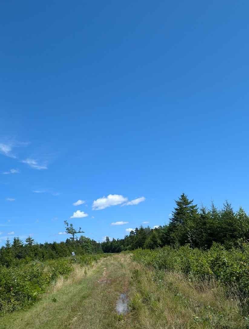
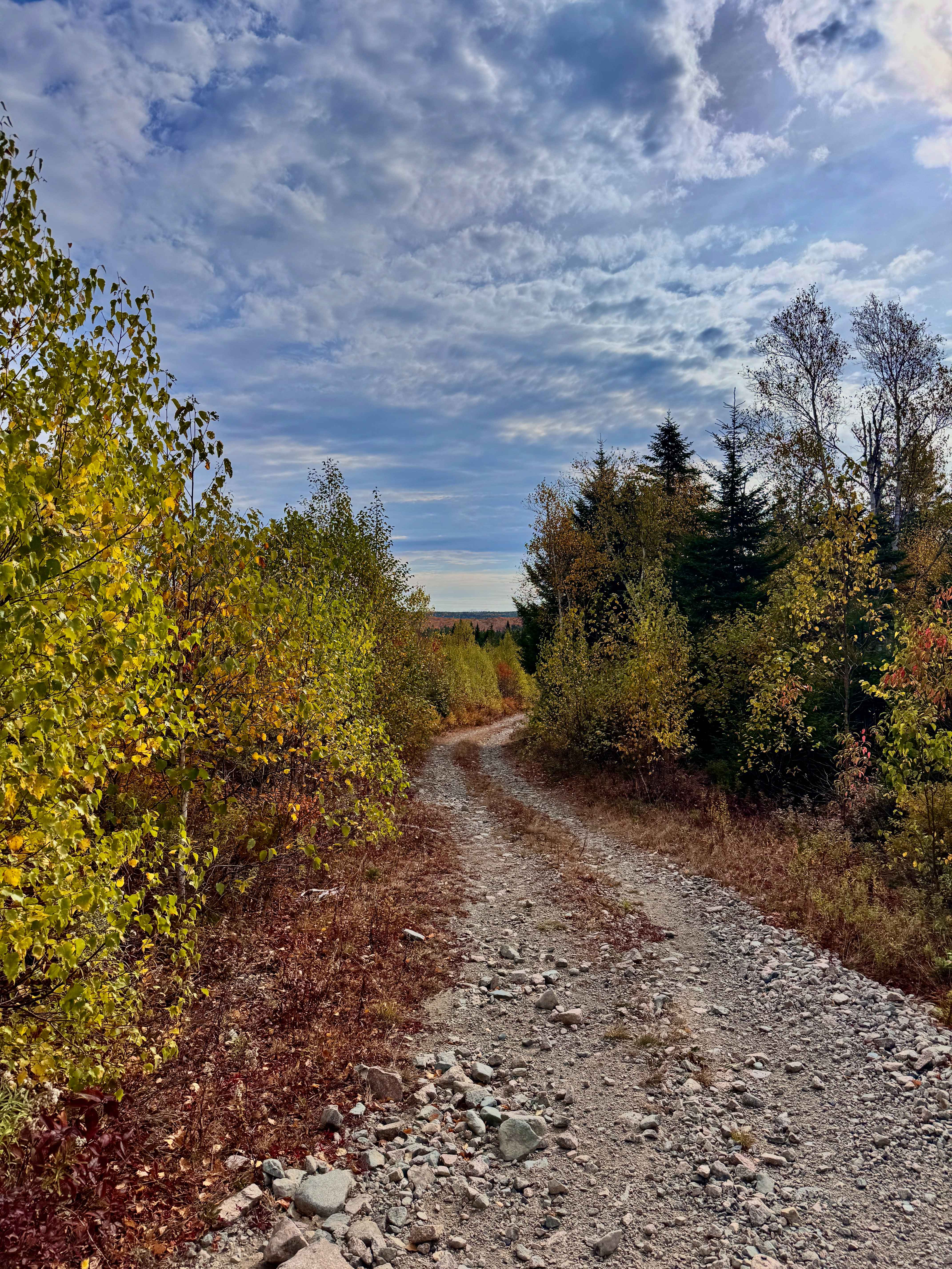
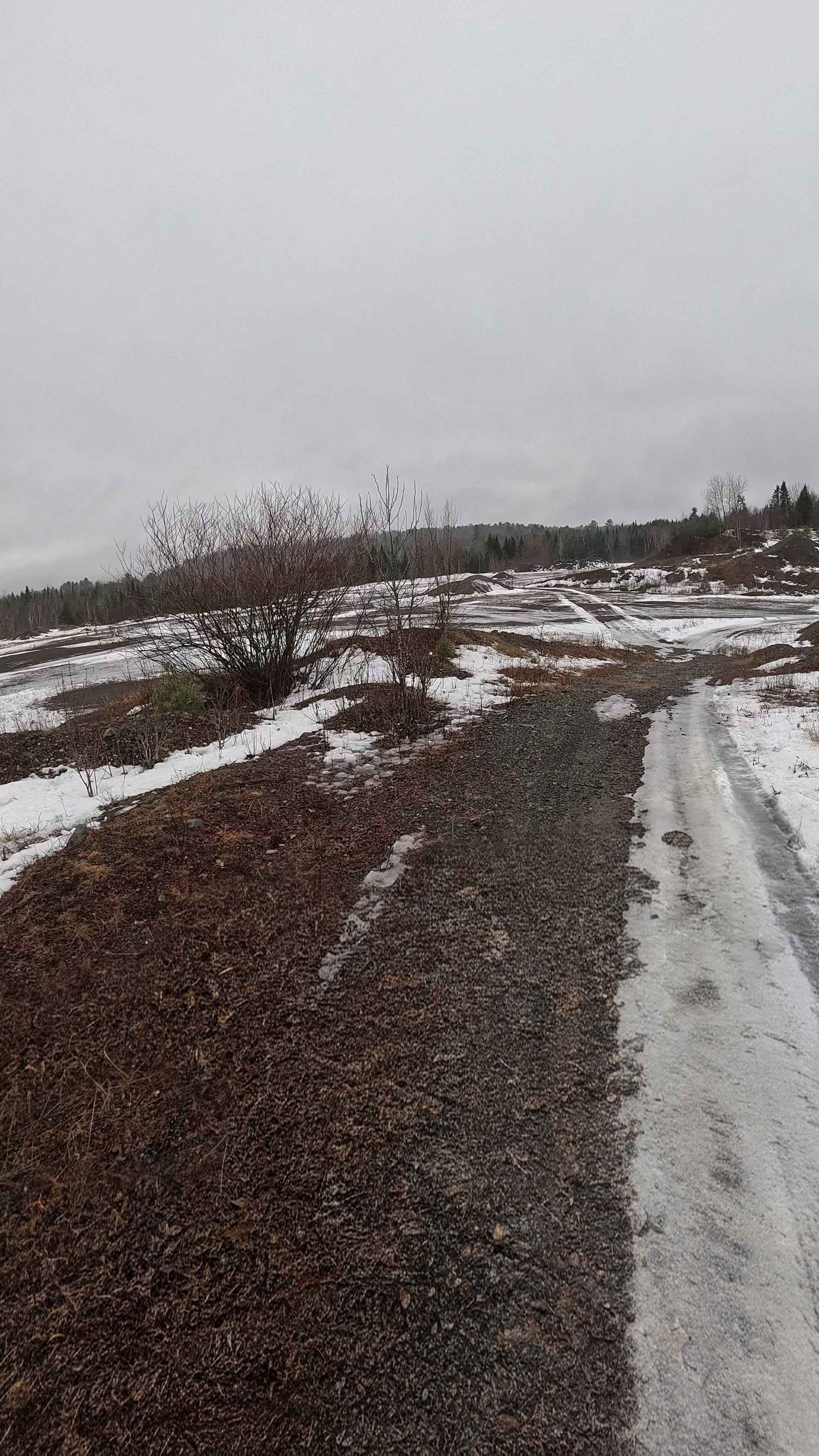
Trail Overview
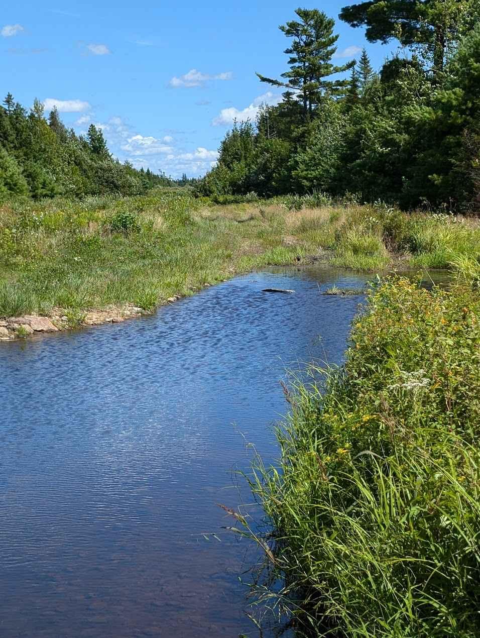
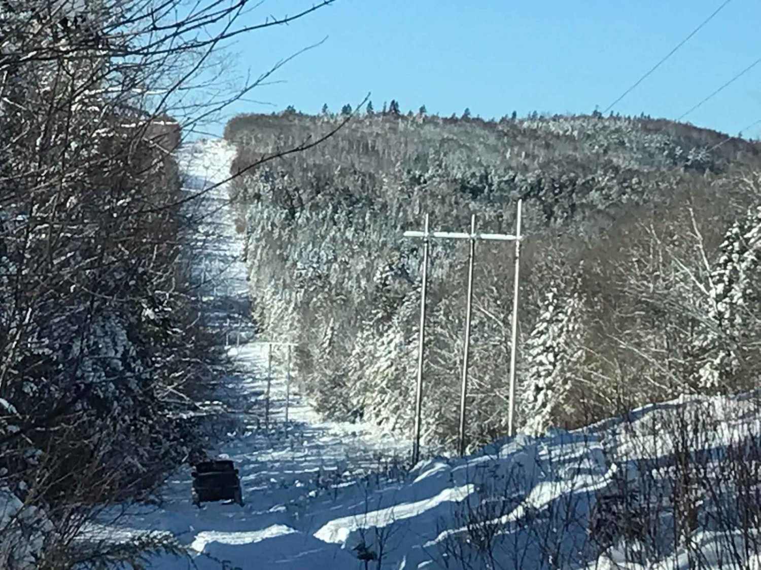
This track is an alternative route on Tower Road. Instead of exiting back to Penniac Road, you can explore this scenic trail down the gas line to the Minto area. It features a rock bottom path with many water holes, stream crossings, and muddy hard lines with easy lines alongside them. It exits onto a logging road which drops you off at a substation on the highway connecting Minto and Fredericton.
Photos of Penniac Gas Line
Difficulty
20 inch deep water crossings
Status Reports
Penniac Gas Line can be accessed by the following ride types:
- High-Clearance 4x4
- SUV
- SxS (60")
- ATV (50")
- Dirt Bike
Penniac Gas Line Map
Popular Trails
Shrub-Trim Pass
Lower Stone Ridge Rock Pit

Sunshine Side Loop
Hillbilly Hydro Line
The onX Offroad Difference
onX Offroad combines trail photos, descriptions, difficulty ratings, width restrictions, seasonality, and more in a user-friendly interface. Available on all devices, with offline access and full compatibility with CarPlay and Android Auto. Discover what you’re missing today!