West Main
Total Kilometers
11.7
Technical Rating
Best Time
Summer, Spring, Fall
Trail Type
Full-Width Road
Accessible By
Trail Overview
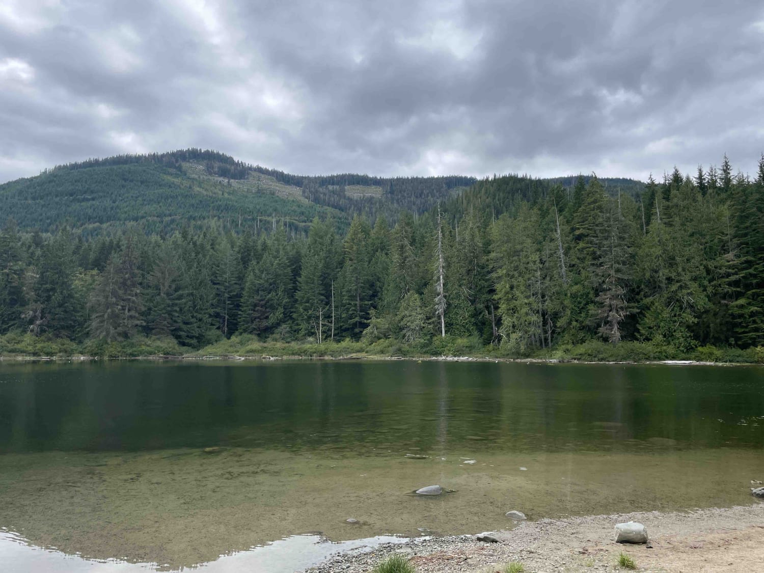
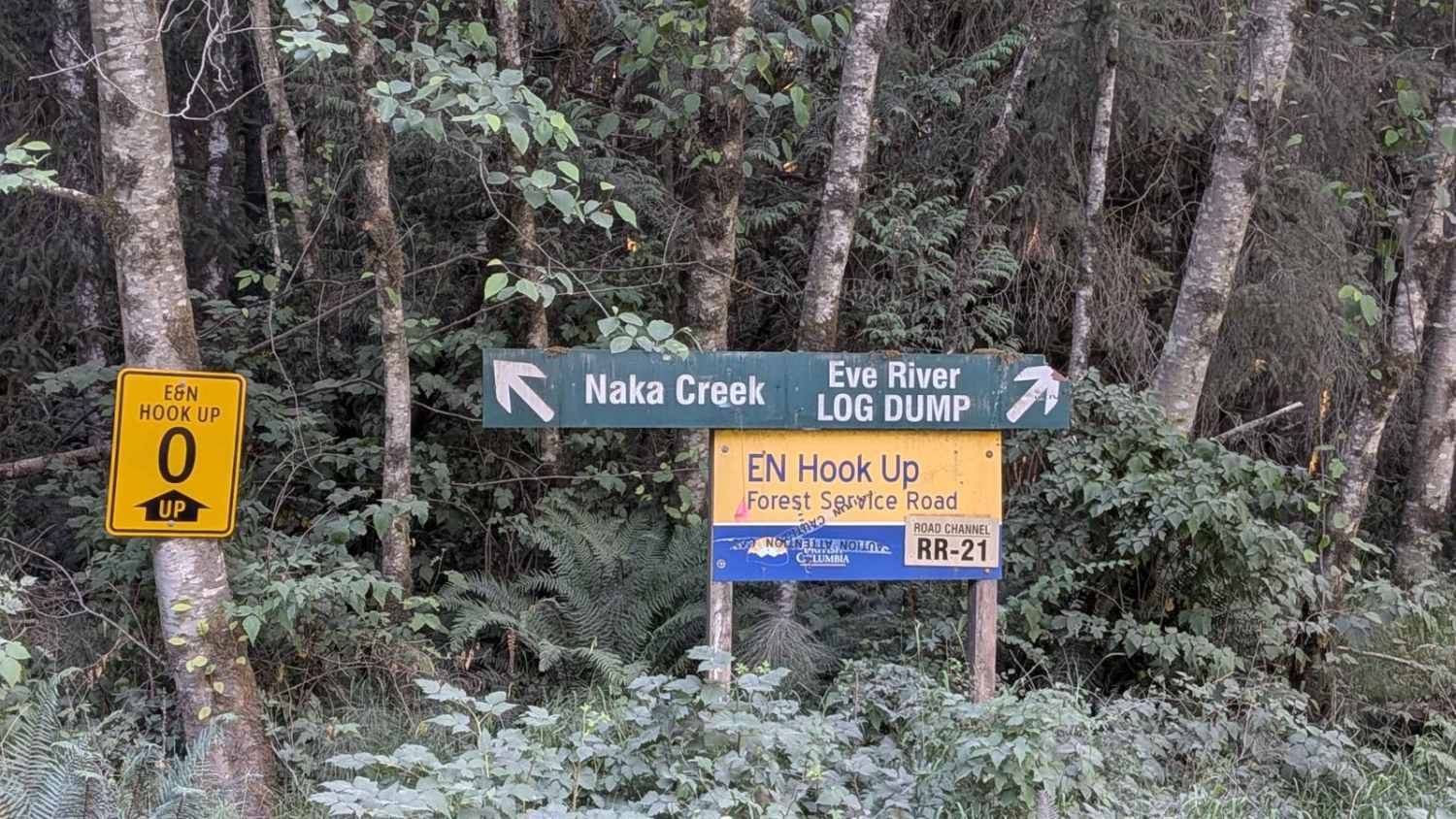
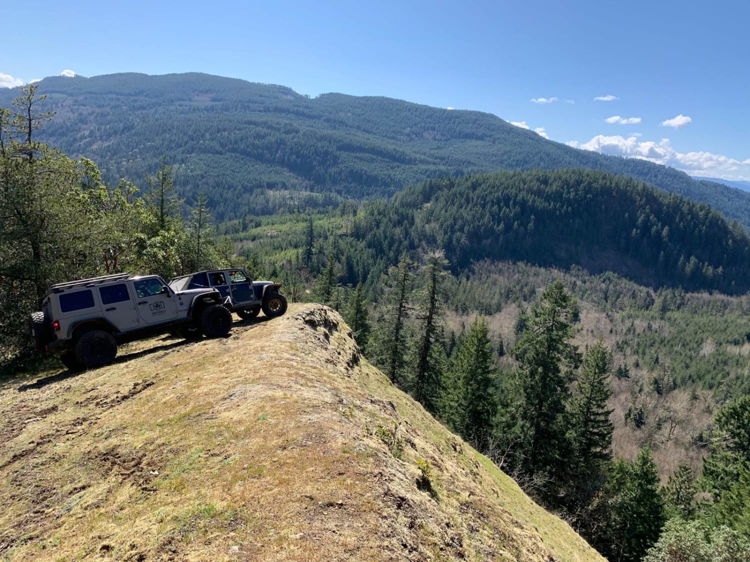
West Main logging trail is a narrow, graded gravel road that winds through a mixed landscape of forest and clear-cut areas. The trail is barely wide enough for two vehicles to pass side-by-side in most sections, requiring cautious driving, especially when meeting oncoming traffic. The road surface is rough, with numerous potholes and washboard sections. Some potholes are quite large, demanding careful navigation to avoid vehicle damage. As the trail progresses northward, it leads to Kennedy River on the northern shore of Kennedy Lake, which is a serene endpoint, ideal for fishing, camping, or simply enjoying the peaceful surroundings.
Photos of West Main


Difficulty
While the route isn't technically difficult, the narrow width, rough surface, and large potholes call for attentive and cautious driving. High-clearance vehicles are recommended, and slower speeds will help maintain control and comfort along the way.
Status Reports
West Main can be accessed by the following ride types:
- High-Clearance 4x4
- SUV
- Dirt Bike
West Main Map
Popular Trails
Woss to Woss Lake Rec Site
Naka Creek Main
Pinaus Lake to Tuktakamin Lookout
Dwarfs Cabin
The onX Offroad Difference
onX Offroad combines trail photos, descriptions, difficulty ratings, width restrictions, seasonality, and more in a user-friendly interface. Available on all devices, with offline access and full compatibility with CarPlay and Android Auto. Discover what you’re missing today!