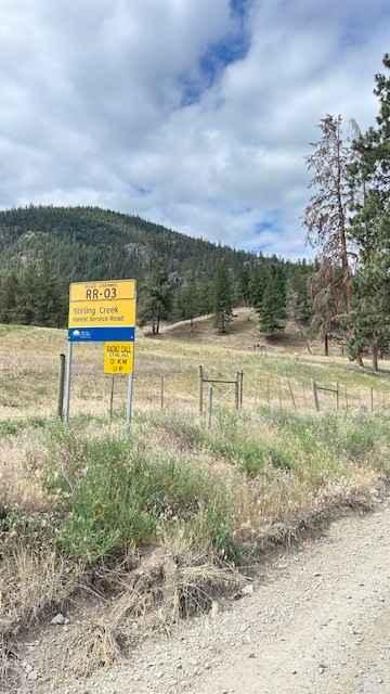
Stirling Creek/Old Joe FSR
Total Kilometers
35.8
Technical Rating
Best Time
Summer
Trail Type
Full-Width Road
Accessible By
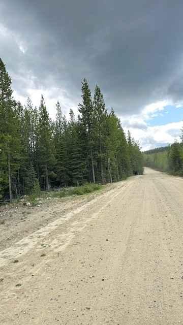
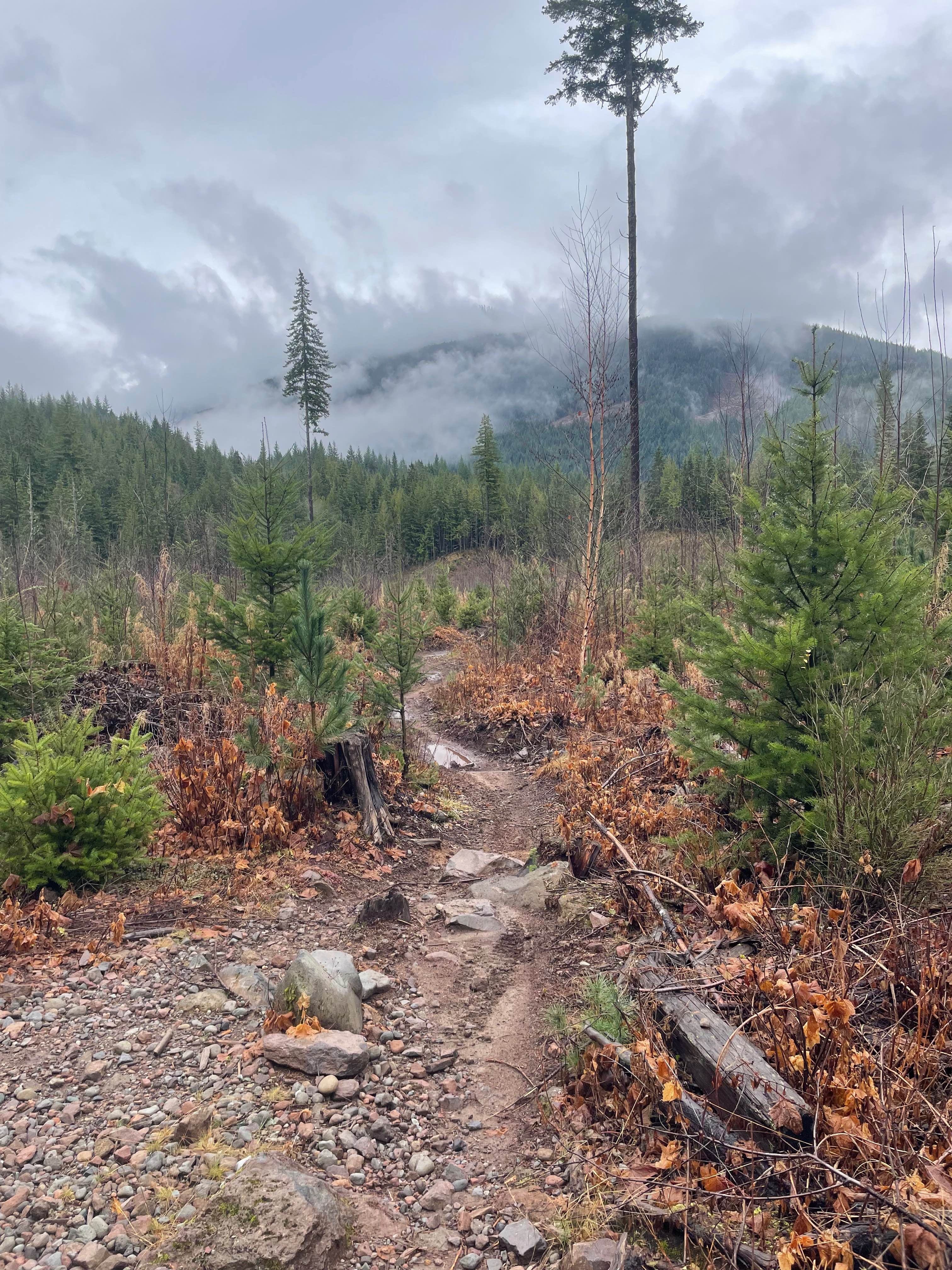
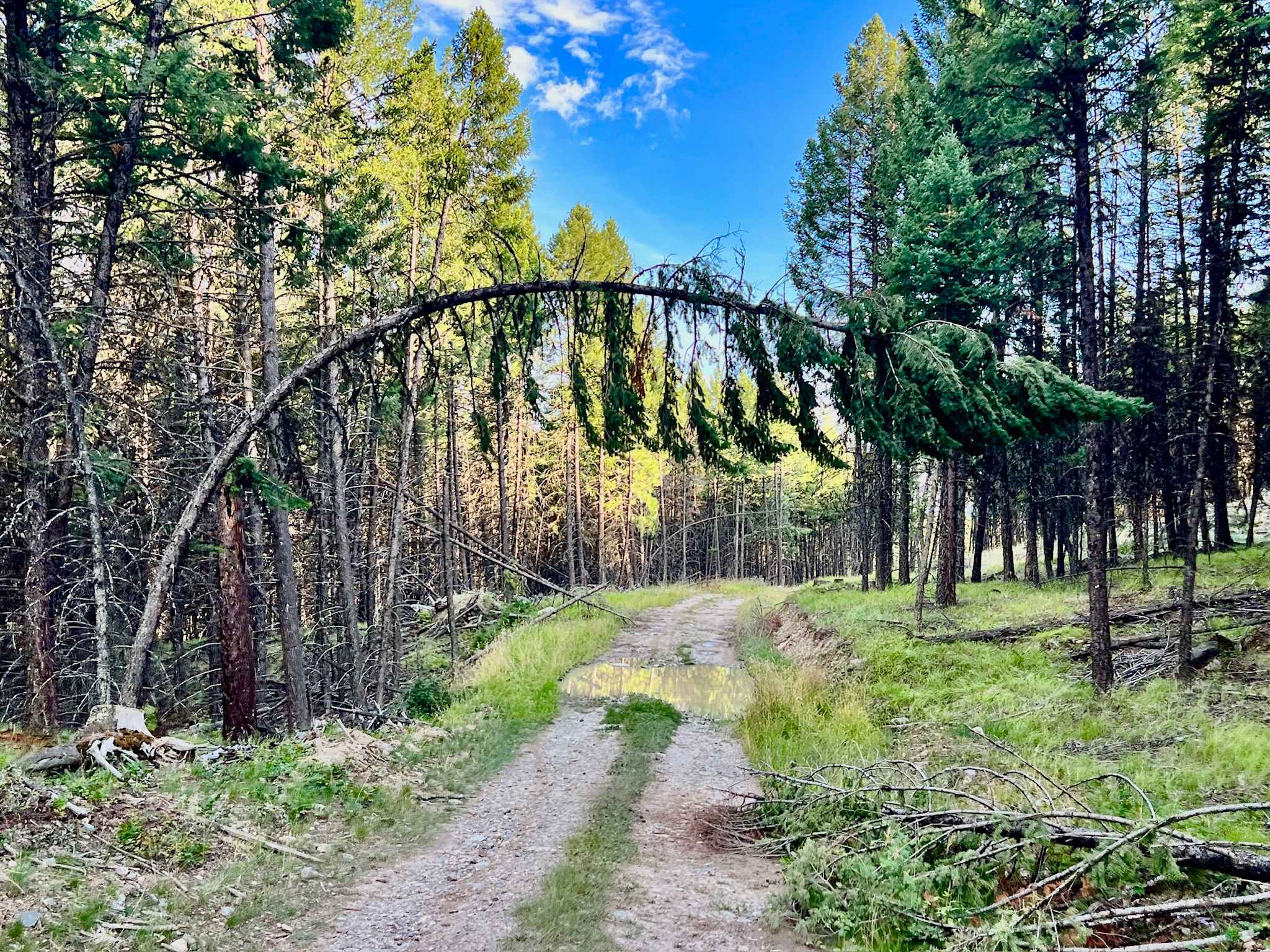
Trail Overview
Route follows active logging FSR Stirling Creek south of highway 3 and turns off onto Old Joe spur road at approximately the 19.5 km mark. The route continues through a section of the west side of Lower Similkameen Indian Band (LSIB) Ashnola IR before winding back northwest and ending at a decommissioned tower of 2000 meters. The views at the top are spectacular for 360 degrees. The section passing through LSIB Ashnola IR is posted with information signs, but access was not restricted when the route was mapped. Expect to see ranging cows and feral horses throughout the area.
Photos of Stirling Creek/Old Joe FSR
Difficulty
Route is not difficult, but does have narrow sections with cross ditching and branch encroachment. The section leading to the tower lookout has loose rock sections and switchbacks but is again, not difficult.
History
Historical logging and mining sites throughout the area.
Status Reports
Stirling Creek/Old Joe FSR can be accessed by the following ride types:
- High-Clearance 4x4
- SUV
- SxS (60")
- ATV (50")
- Dirt Bike
Stirling Creek/Old Joe FSR Map
Popular Trails

One Stick At A Time
Lindbom Lake Road
The onX Offroad Difference
onX Offroad combines trail photos, descriptions, difficulty ratings, width restrictions, seasonality, and more in a user-friendly interface. Available on all devices, with offline access and full compatibility with CarPlay and Android Auto. Discover what you’re missing today!