Stevens FSR
Total Kilometers
4.4
Technical Rating
Best Time
Spring, Summer, Fall, Winter
Trail Type
Full-Width Road
Accessible By
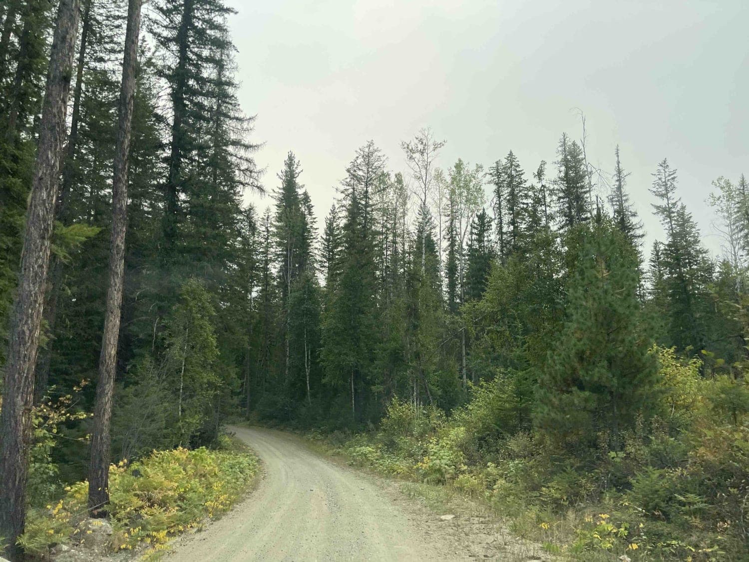
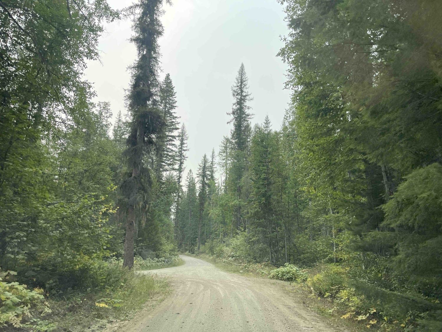
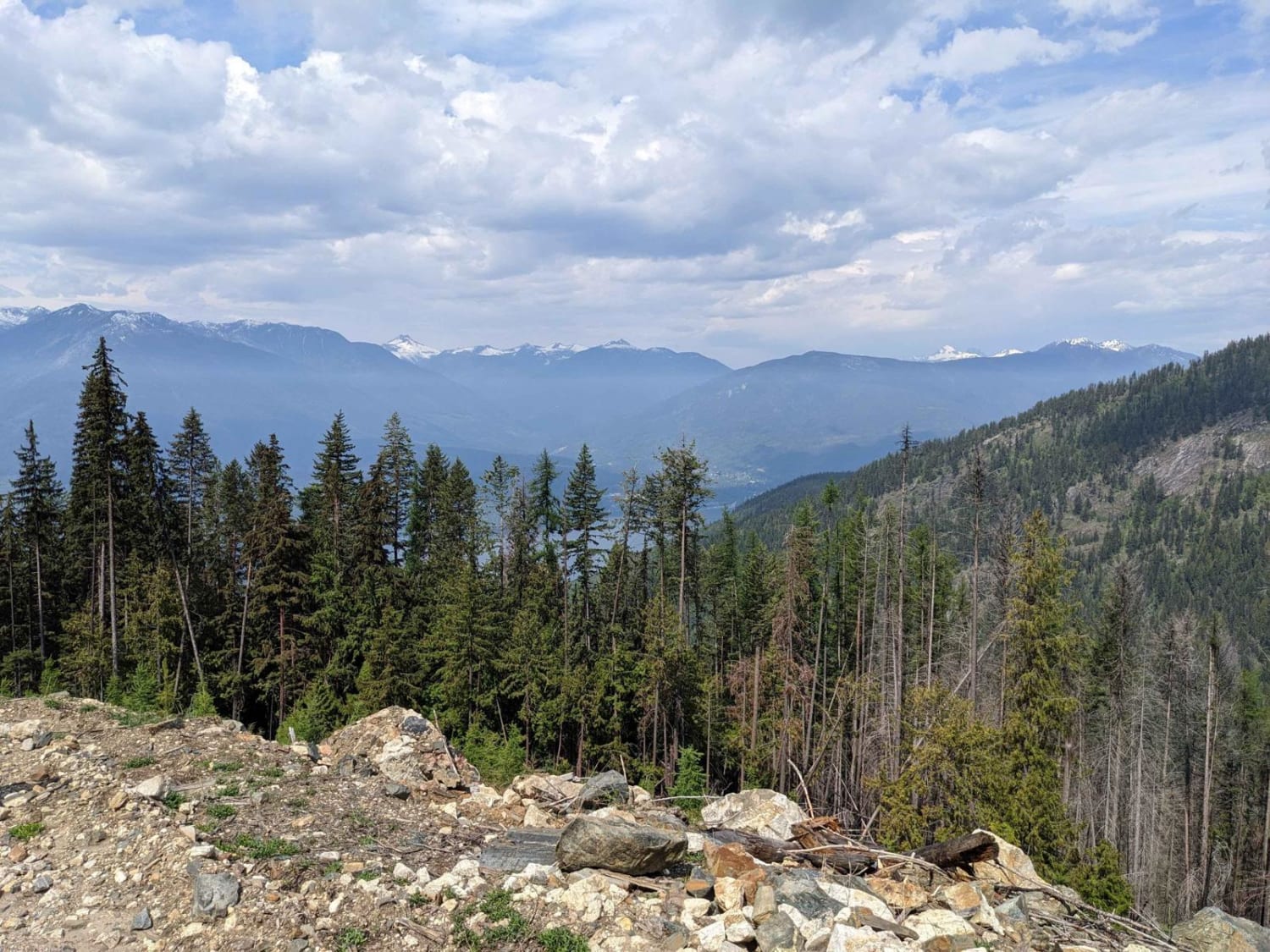
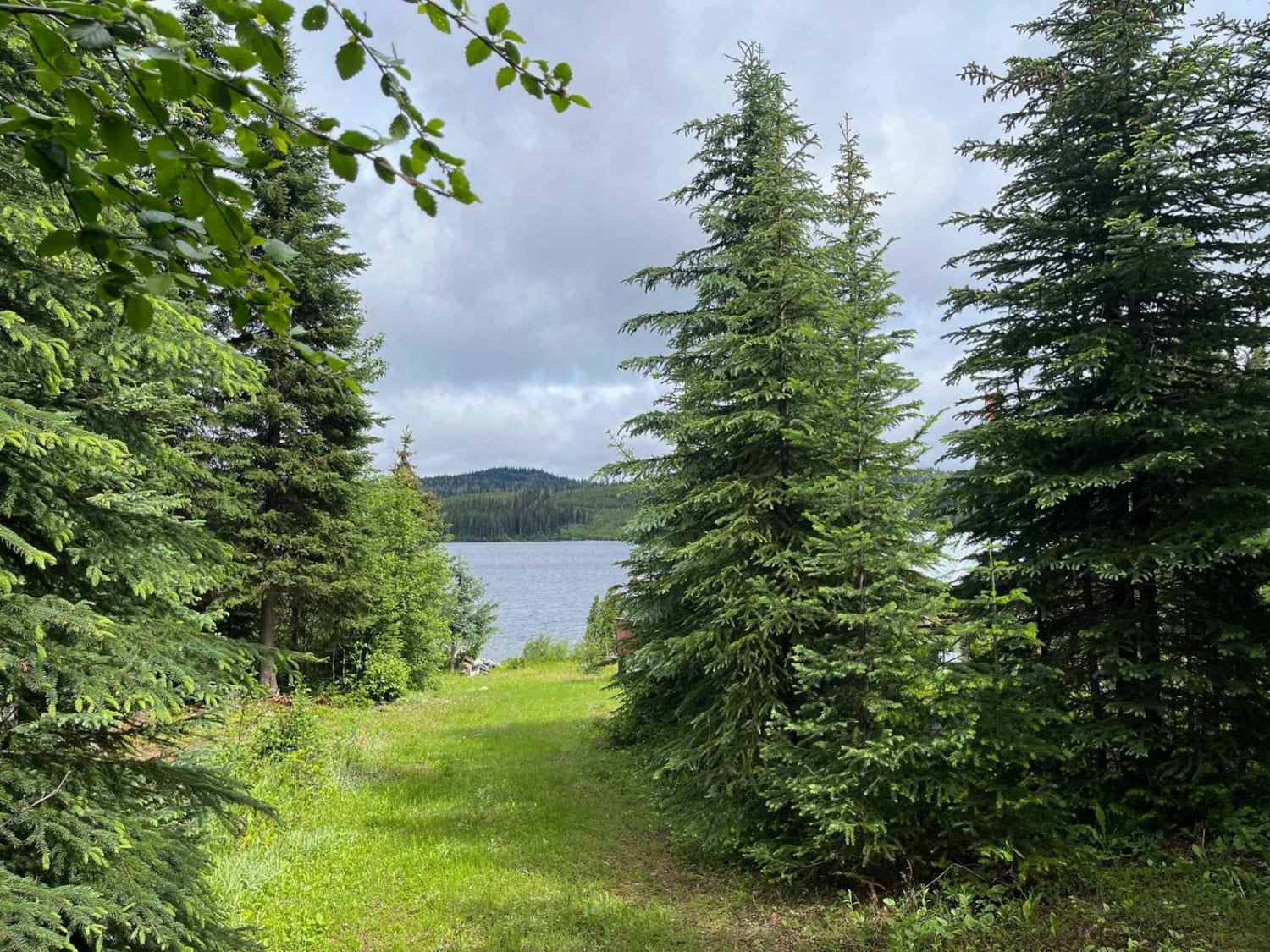
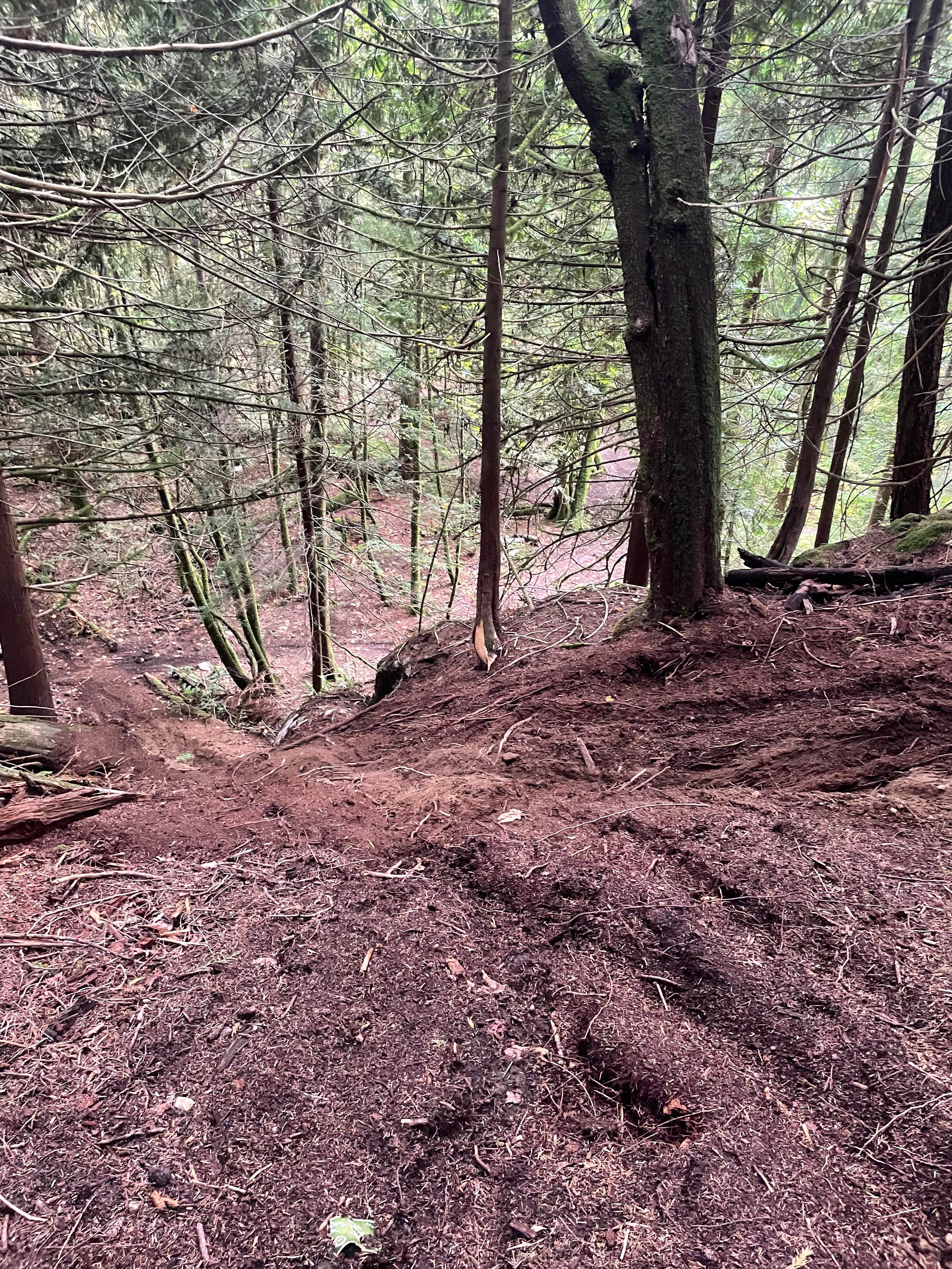
Trail Overview
Stevens FSR is a loop road that connects to the Whatshan West Road. There is also access to the ferries for the Upper Arrows Lake to take you deeper into the Kootaney Mountains, as well as a number of spur roads to explore. These are all old logging roads that are kept open so there may be active logging throughout the weekdays.
Photos of Stevens FSR
Difficulty
The road is rough in spots but overall well maintained. There are washboards in sections that are pretty rough.
Status Reports
Stevens FSR can be accessed by the following ride types:
- High-Clearance 4x4
- SUV
- SxS (60")
- ATV (50")
- Dirt Bike
Stevens FSR Map
Popular Trails
Florence Lake FSR
Loki Mountain Trail Head
Jamieson Creek Road to Allan Lake
Finger 5
The onX Offroad Difference
onX Offroad combines trail photos, descriptions, difficulty ratings, width restrictions, seasonality, and more in a user-friendly interface. Available on all devices, with offline access and full compatibility with CarPlay and Android Auto. Discover what you’re missing today!