South Fork FSR
Total Kilometers
5.7
Technical Rating
Best Time
Spring, Summer, Fall
Trail Type
Full-Width Road
Accessible By
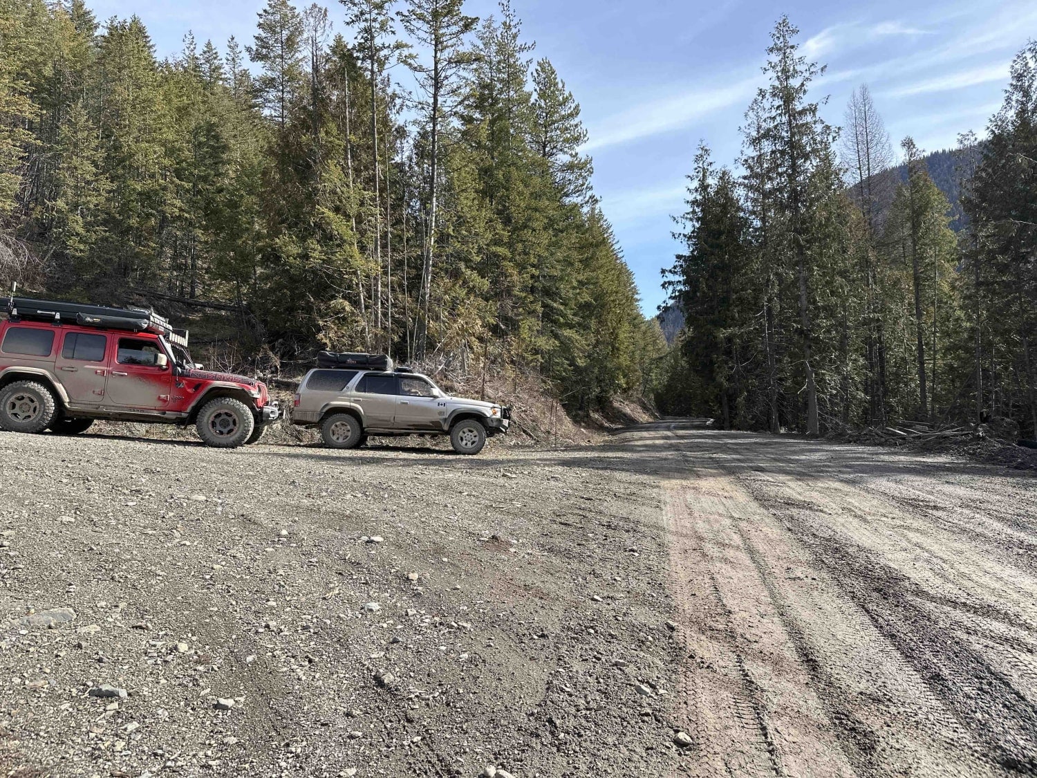
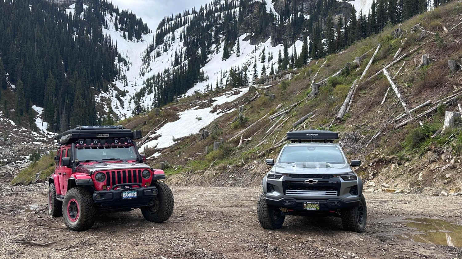
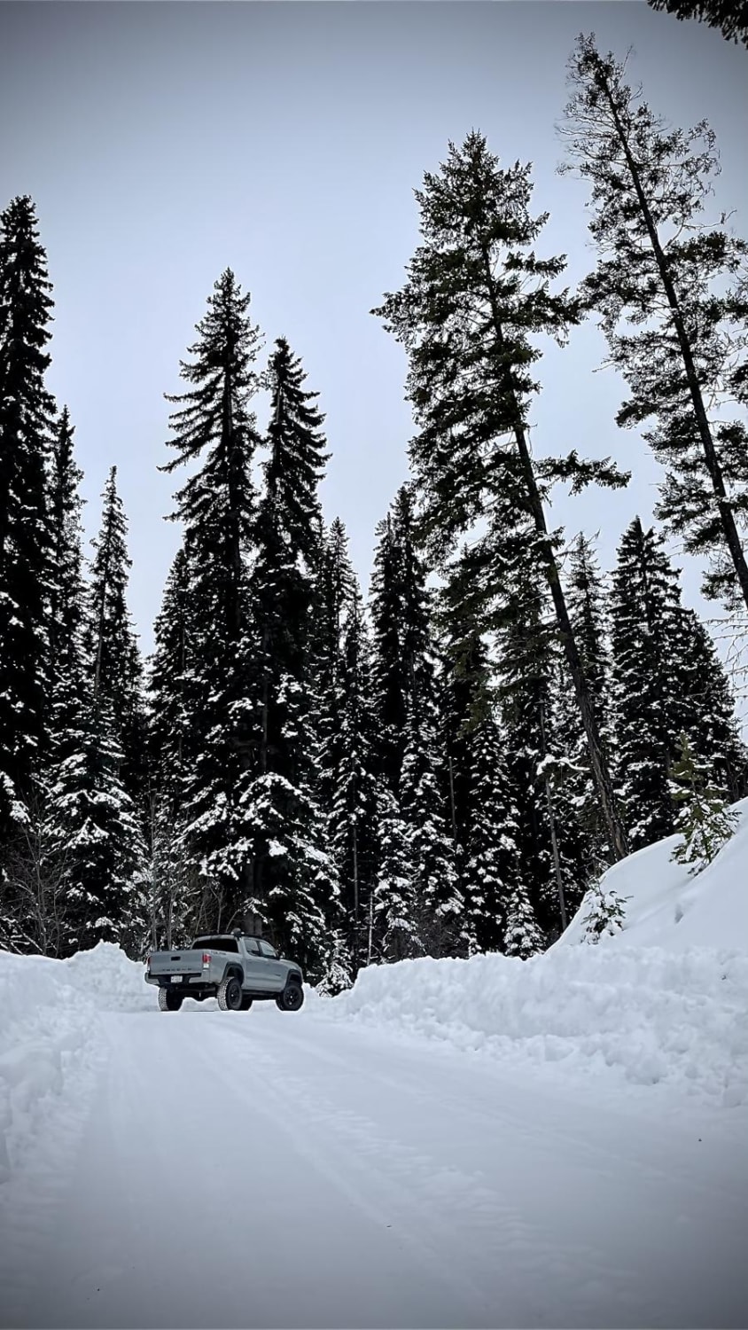
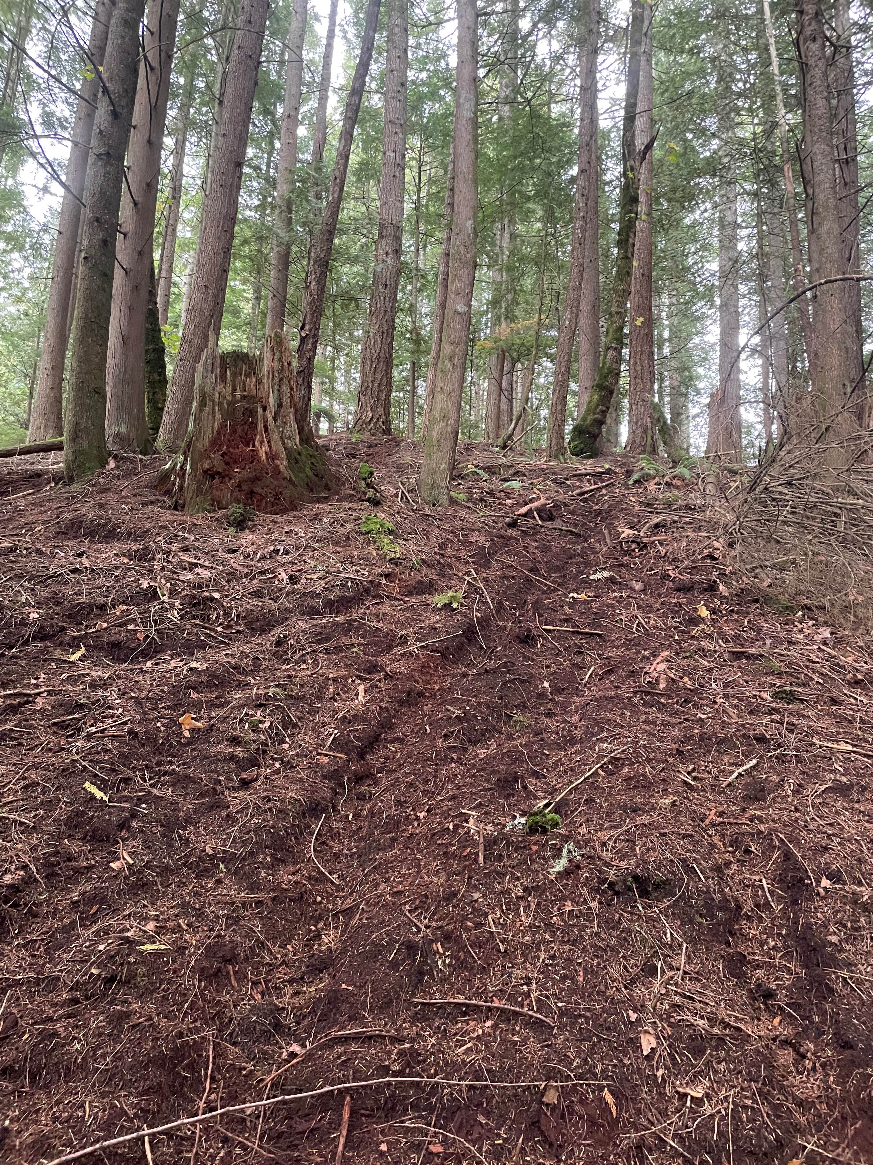
Trail Overview
South Fork FSR is an active logging road at the base of the Monashee Mountains. The road is easily accessed from Highway 6 east of Cherryville. The main FSR is in great shape but muddy at the time of mapping. Please make sure you have a radio to listen in on frequency RR-30 as well as call out your kilometer location. Let those big trucks know where you are--safety first! The area is beautiful with many rivers, wildlife, and mountain views galore.
Photos of South Fork FSR

Difficulty
The rating of 2 is given mostly due to the very deep mud and ruts for the time of year travelled (mid-March). Any roads in the shade of trees are covered in snow or 2 to 3 inches of slick mud. The spur roads are much dryer, as they are on the south-facing mountainside but do have ruts from seasonal melt/erosion.
Status Reports
South Fork FSR can be accessed by the following ride types:
- High-Clearance 4x4
- SUV
- SxS (60")
- ATV (50")
- Dirt Bike
South Fork FSR Map
Popular Trails

Jackfish Road
Bowman FSR - Joss Mountain
Oyma Lake Road
Finger 2
The onX Offroad Difference
onX Offroad combines trail photos, descriptions, difficulty ratings, width restrictions, seasonality, and more in a user-friendly interface. Available on all devices, with offline access and full compatibility with CarPlay and Android Auto. Discover what you’re missing today!