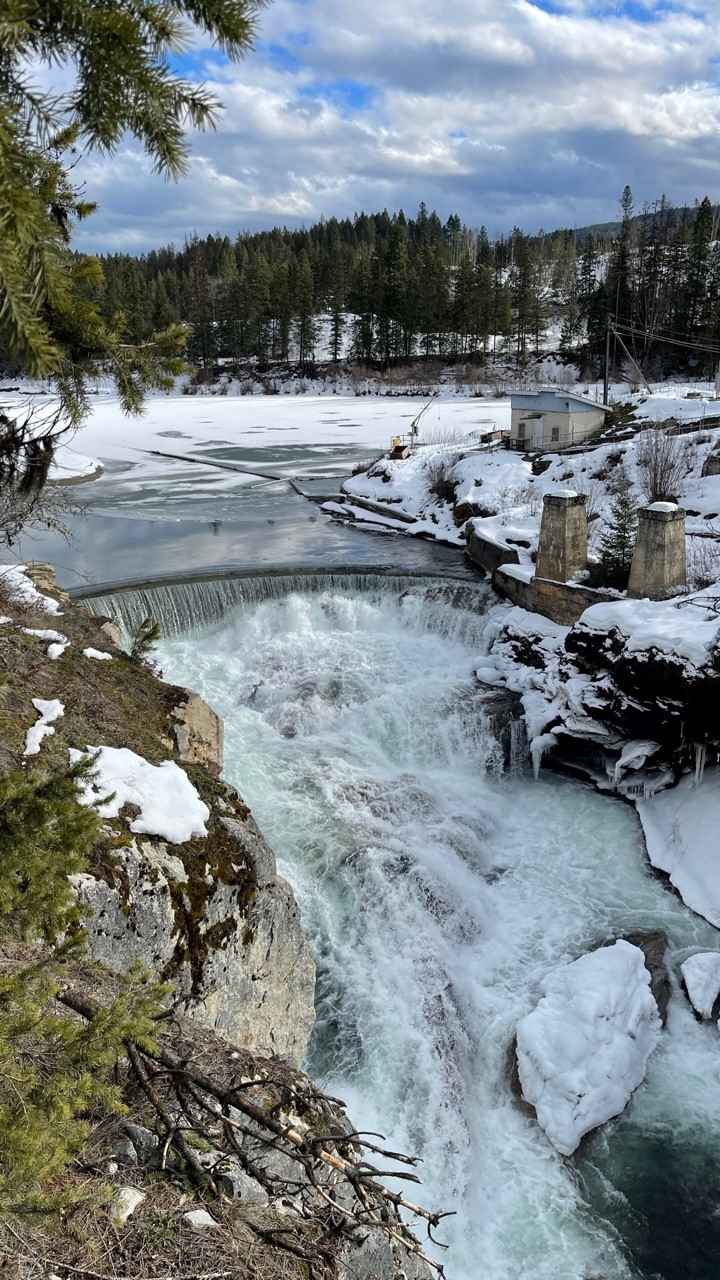
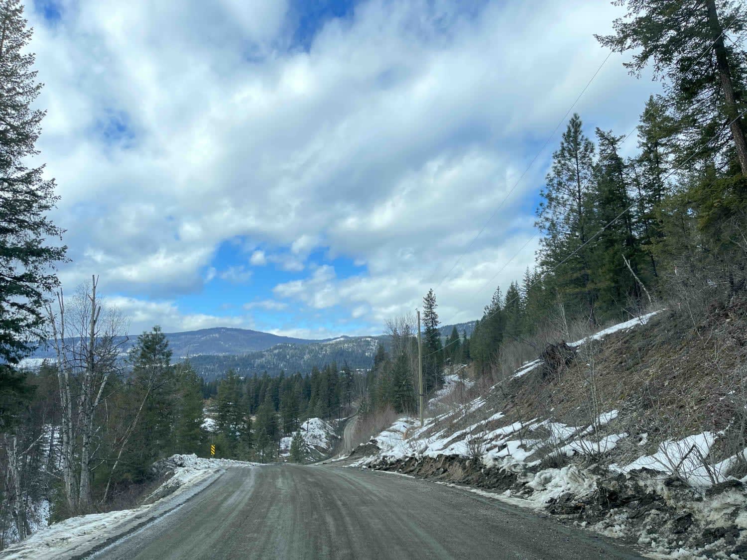
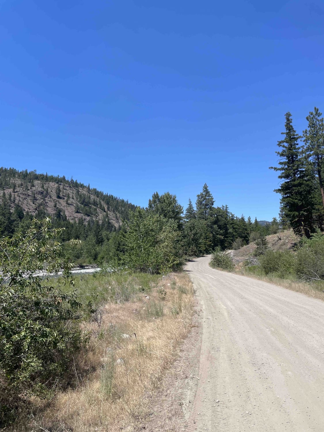
Shuswap River
Total Kilometers
11.5
Technical Rating
Best Time
Spring, Summer, Fall, Winter
Trail Type
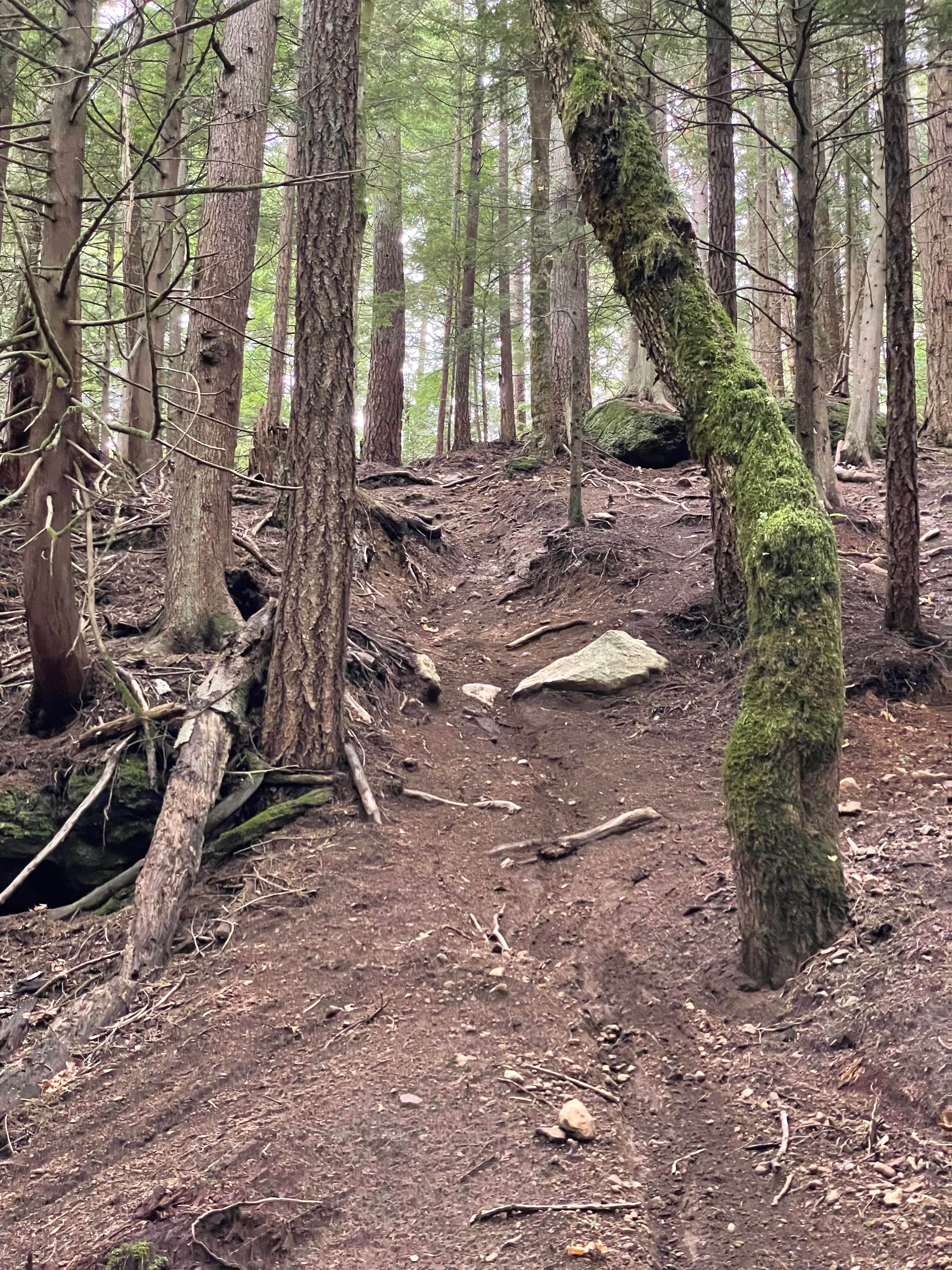
Full-Width Road
Accessible By
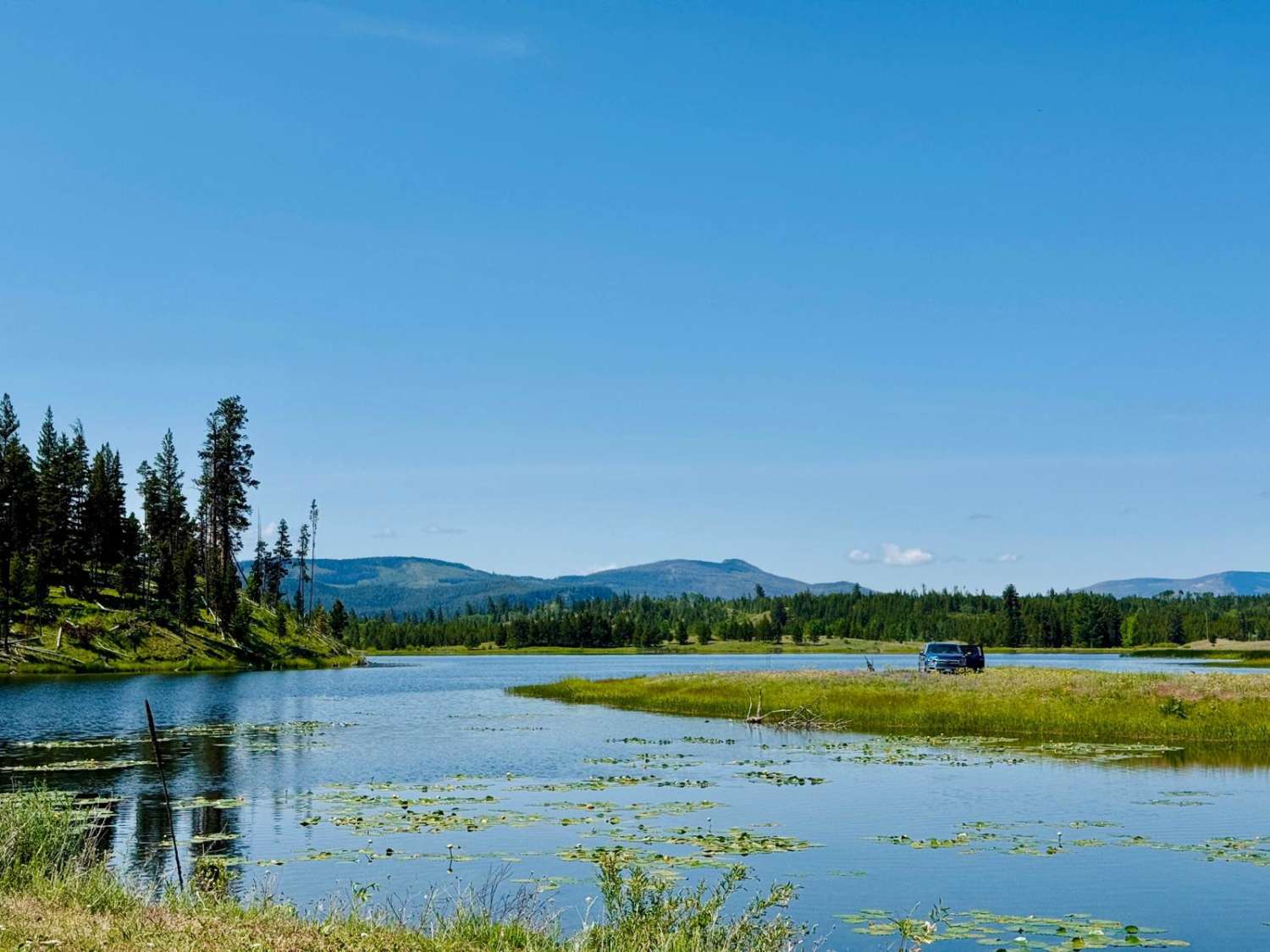
Trail Overview
Shuswap River Road runs along the Shuswap river with beautiful little cutouts where you can stop and have lunch or hang out on the river banks fishing or simply take in the scenery. The road is in good shape as there are a lot of residential properties along the route. You need to watch for the signs as there are a lot of no trespassing/private property and no camping signs throughout the route. The map indicates that it is a thru road, but it ends at a large ranchers property about 7.5 miles in, where you will need to turn around.
Photos of Shuswap River
Difficulty
road is well maintained as there are residential properties along the route.
Status Reports
Shuswap River can be accessed by the following ride types:
- High-Clearance 4x4
- SUV
- SxS (60")
- ATV (50")
- Dirt Bike
Shuswap River Map
Popular Trails
Jack Swartz FSR to Little Box Canyon Rec Site
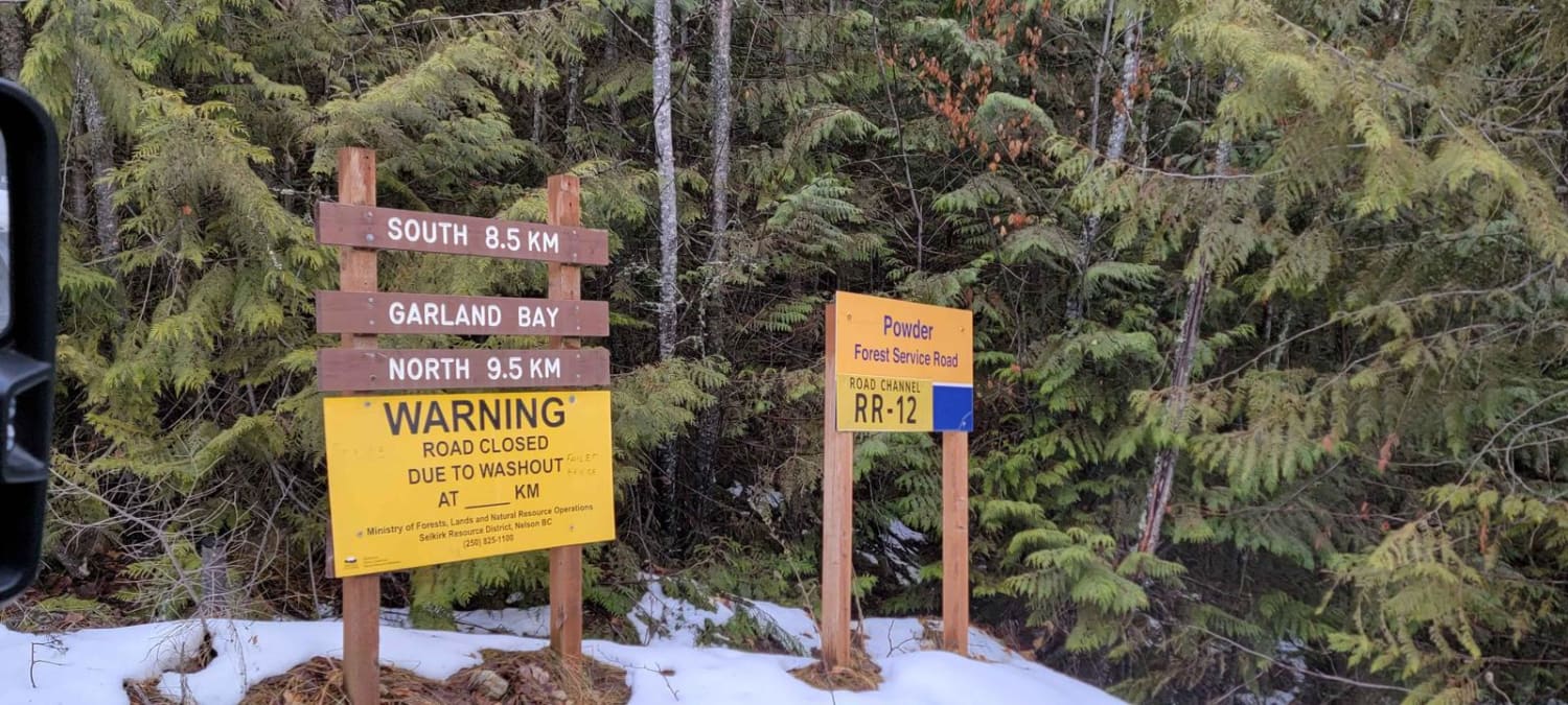
Garland Bay North Rec Site
Kane Valley Road
Viagra Hill
The onX Offroad Difference
onX Offroad combines trail photos, descriptions, difficulty ratings, width restrictions, seasonality, and more in a user-friendly interface. Available on all devices, with offline access and full compatibility with CarPlay and Android Auto. Discover what you’re missing today!