Red Rock Road
Total Kilometers
15.6
Technical Rating
Best Time
Spring, Summer, Fall, Winter
Trail Type
Full-Width Road
Accessible By
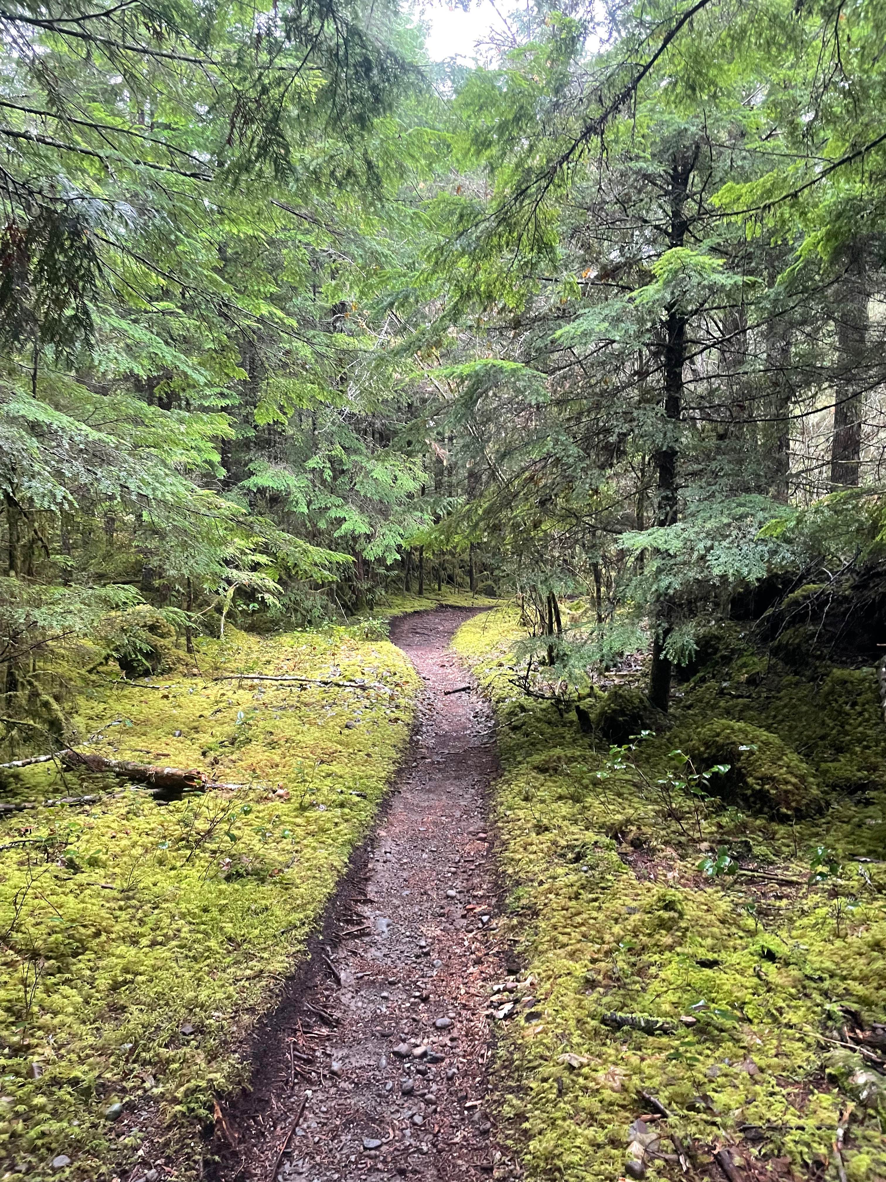
Trail Overview
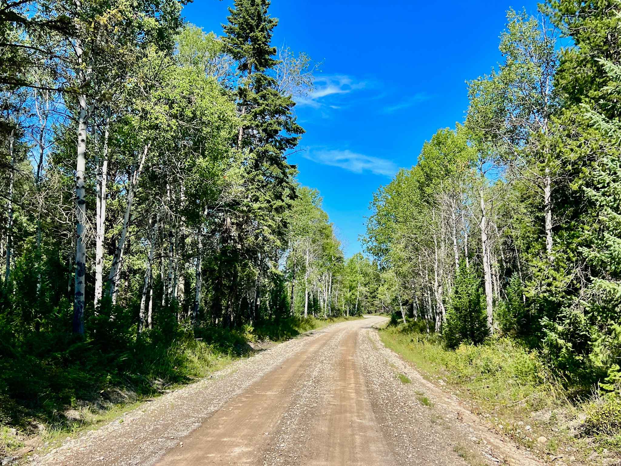
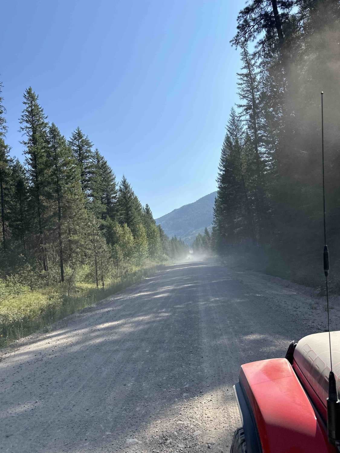
Once the pavement ends next to the massive BC Hydro Mica Dam, the road turns to dirt and gravel. It is well maintained as you start to run alongside the massive Kinbasket Lake. The lake was created by the dam and is now one of the largest lakes/reservoirs in British Columbia. As you come to an intersection, take the left onto Red Rock Sprague FSR, and you will end up at the beautiful Sprague Bay Recreation Site.
Photos of Red Rock Road


Difficulty
For the most part, it is a maintained gravel road. The Red Rock Sprague FSR section is a two-track with some rolling hills and ruts.
Status Reports
Red Rock Road can be accessed by the following ride types:
- High-Clearance 4x4
- SUV
- SxS (60")
- ATV (50")
- Dirt Bike
Red Rock Road Map
Popular Trails
Waldo Gold Creek
Burell Main
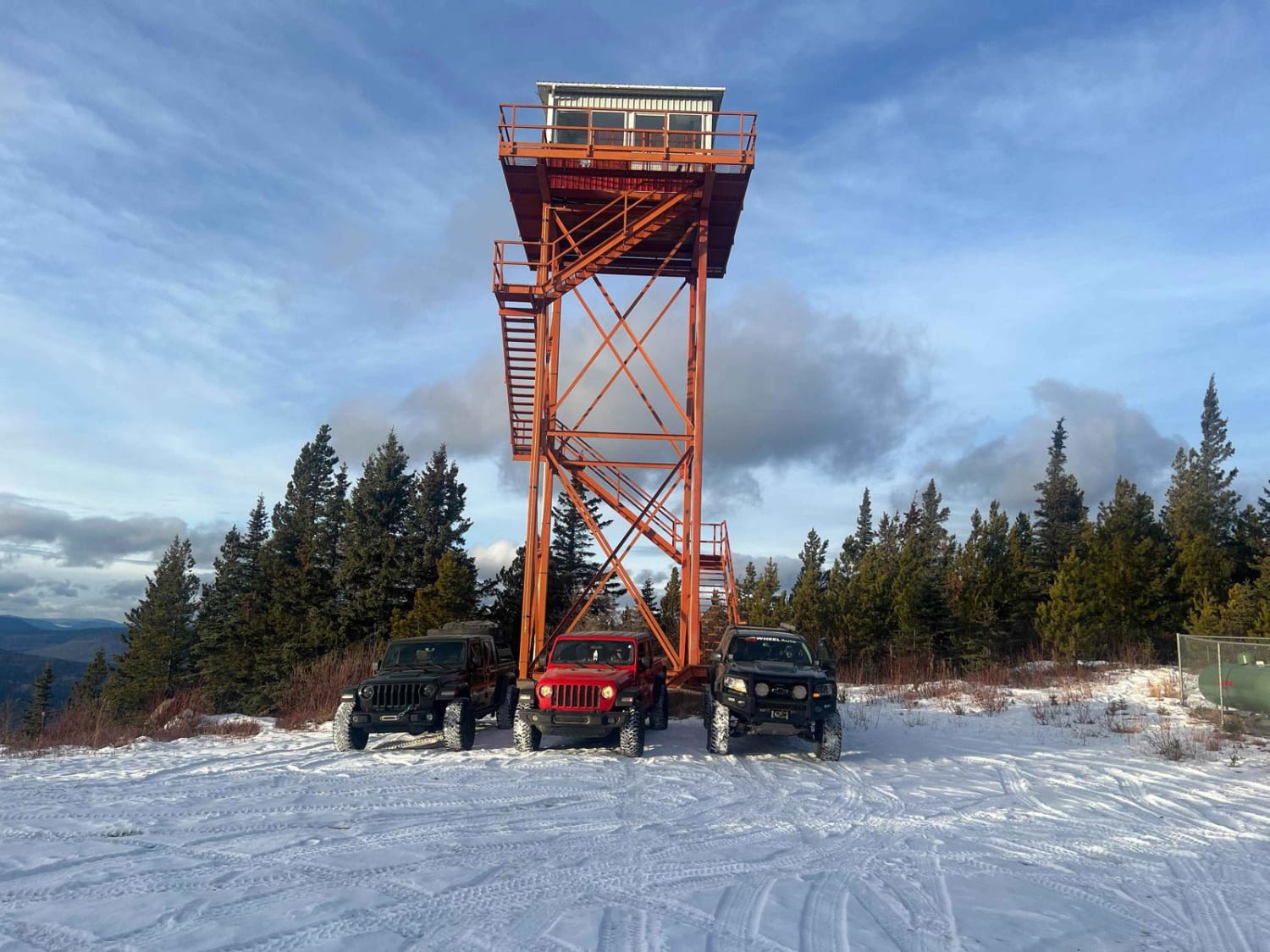
Puggins Mountain Fire Lookout Tower
The onX Offroad Difference
onX Offroad combines trail photos, descriptions, difficulty ratings, width restrictions, seasonality, and more in a user-friendly interface. Available on all devices, with offline access and full compatibility with CarPlay and Android Auto. Discover what you’re missing today!