Waldo Gold Creek
Total Kilometers
9.9
Technical Rating
Best Time
Summer, Spring, Fall
Trail Type
Full-Width Road
Accessible By
Trail Overview
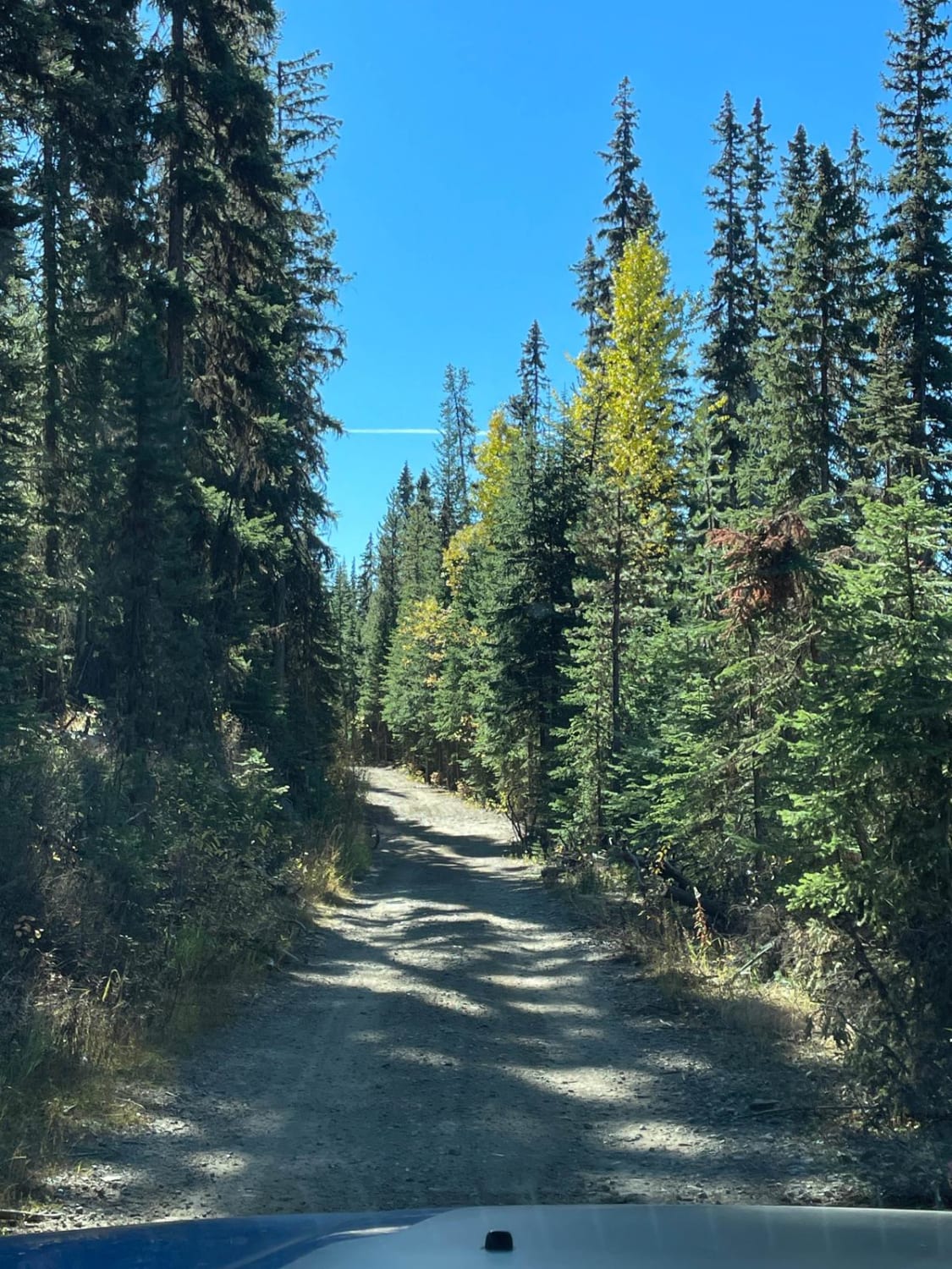
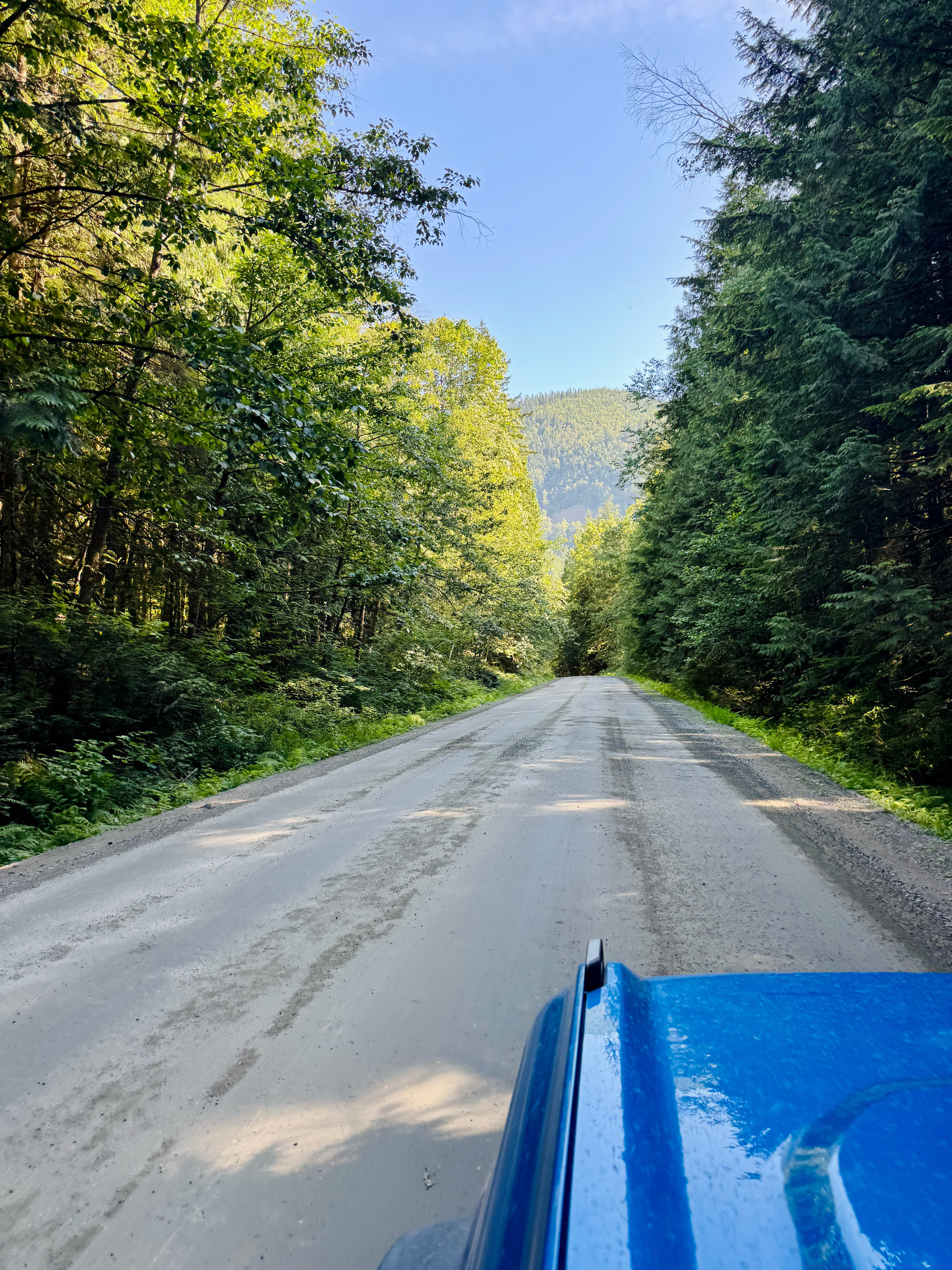
Waldo Gold Creek serves as a solid choice for accessing other trails in the area. This active logging road is generally well-graded and smooth, offering a relatively comfortable drive. While it can be narrow in some sections, there are plenty of pullouts and wider areas to allow oncoming vehicles to pass safely. Signs along the route will indicate whether calling on a UHF radio is recommended for safety, particularly to notify active logging operations of your presence; however, it is not always required. This route offers numerous side-trail options for exploration and serves as a great connector, linking various parts of the region's expansive trail system. Expect intermittent cell service, typically one bar of Verizon, so downloading offline maps is essential for navigation.
Photos of Waldo Gold Creek
Difficulty
The trail is well-graded and smooth, offering a relatively comfortable drive. While it can be narrow in some sections, there are plenty of pullouts and wider areas to allow oncoming vehicles to pass safely.
History
The Waldo Gold Creek area is steeped in the history of the Kootenay River valley, a long part of the Ktunaxa people's traditional territory. Its designation as an active logging road connects it to the region's rich history of resource extraction, particularly the timber industry that shaped much of British Columbia's interior. The very existence of such well-maintained routes is a legacy of past and ongoing forest operations. The creation of Lake Koocanusa by the Libby Dam in the 1960s and 70s further transformed this landscape, opening up new access points and recreational opportunities while forever altering the ancient river valley. The Koocanusa Recreation Management Area (KRMA) was established to manage and enhance recreational opportunities in the Lake Koocanusa area while protecting natural resources. The KRMA encompasses a large area of Crown land and offers a wide range of recreational activities, including camping, hiking, boating, fishing, and off-roading. The KRMA is managed by the British Columbia Ministry of Forests, Lands, Natural Resource Operations, and Rural Development. It is important to check their website for any closures or restrictions.
Status Reports
Waldo Gold Creek can be accessed by the following ride types:
- High-Clearance 4x4
- SUV
- SxS (60")
- ATV (50")
- Dirt Bike
Waldo Gold Creek Map
Popular Trails
Rowbotham Lake
CP Flight 21 Crash Site Trail
Aberdeen FSR to Ideal Lake
Hicks Lake Road
The onX Offroad Difference
onX Offroad combines trail photos, descriptions, difficulty ratings, width restrictions, seasonality, and more in a user-friendly interface. Available on all devices, with offline access and full compatibility with CarPlay and Android Auto. Discover what you’re missing today!