Chehalis Lake to Skwellepil Rec Site
Total Kilometers
31.0
Technical Rating
Best Time
Spring, Summer, Fall
Trail Type
Full-Width Road
Accessible By
Trail Overview
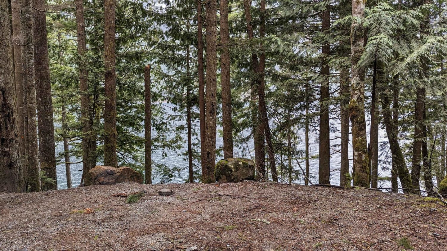
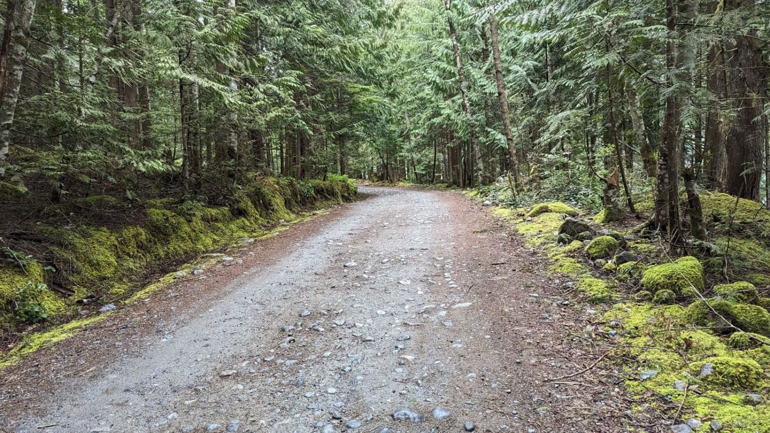
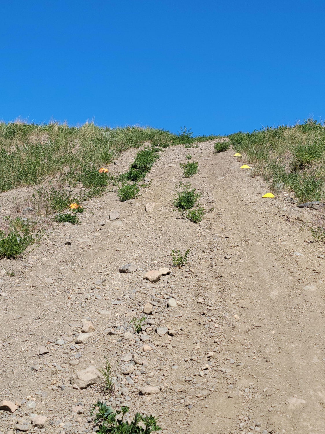
This gravel/dirt road goes to Chehalis Lake south point, where Skwellepil Recreational Site is located. The road is very well graded for the first 10-12 km, then it's becoming more rough and bumpy on the last 2 km. This site be maintained as "4x4 Access Only. There are 4 cross ditches and elephant humps were installed to prevent low-clearance vehicle to enter the site. There are quite a few campsites (Free as of 2023), including waterfront ones.
Photos of Chehalis Lake to Skwellepil Rec Site
Difficulty
pretty easy gravel/dirt road. Dont need 4x4, dont need a high clearance up to the entrance to the rec site.
Status Reports
Chehalis Lake to Skwellepil Rec Site can be accessed by the following ride types:
- High-Clearance 4x4
- SUV
- SxS (60")
- ATV (50")
- Dirt Bike
Chehalis Lake to Skwellepil Rec Site Map
Popular Trails
Buck Hills FSR
Hicks Lake Road

Oyama Lake FSR
Lac du Bois Grasslands OHV Park
The onX Offroad Difference
onX Offroad combines trail photos, descriptions, difficulty ratings, width restrictions, seasonality, and more in a user-friendly interface. Available on all devices, with offline access and full compatibility with CarPlay and Android Auto. Discover what you’re missing today!