Bois d'Ark Trail back to Interstate 30
Total Miles
7.4
Technical Rating
Best Time
Spring, Summer, Fall, Winter
Trail Type
Full-Width Road
Accessible By
Trail Overview
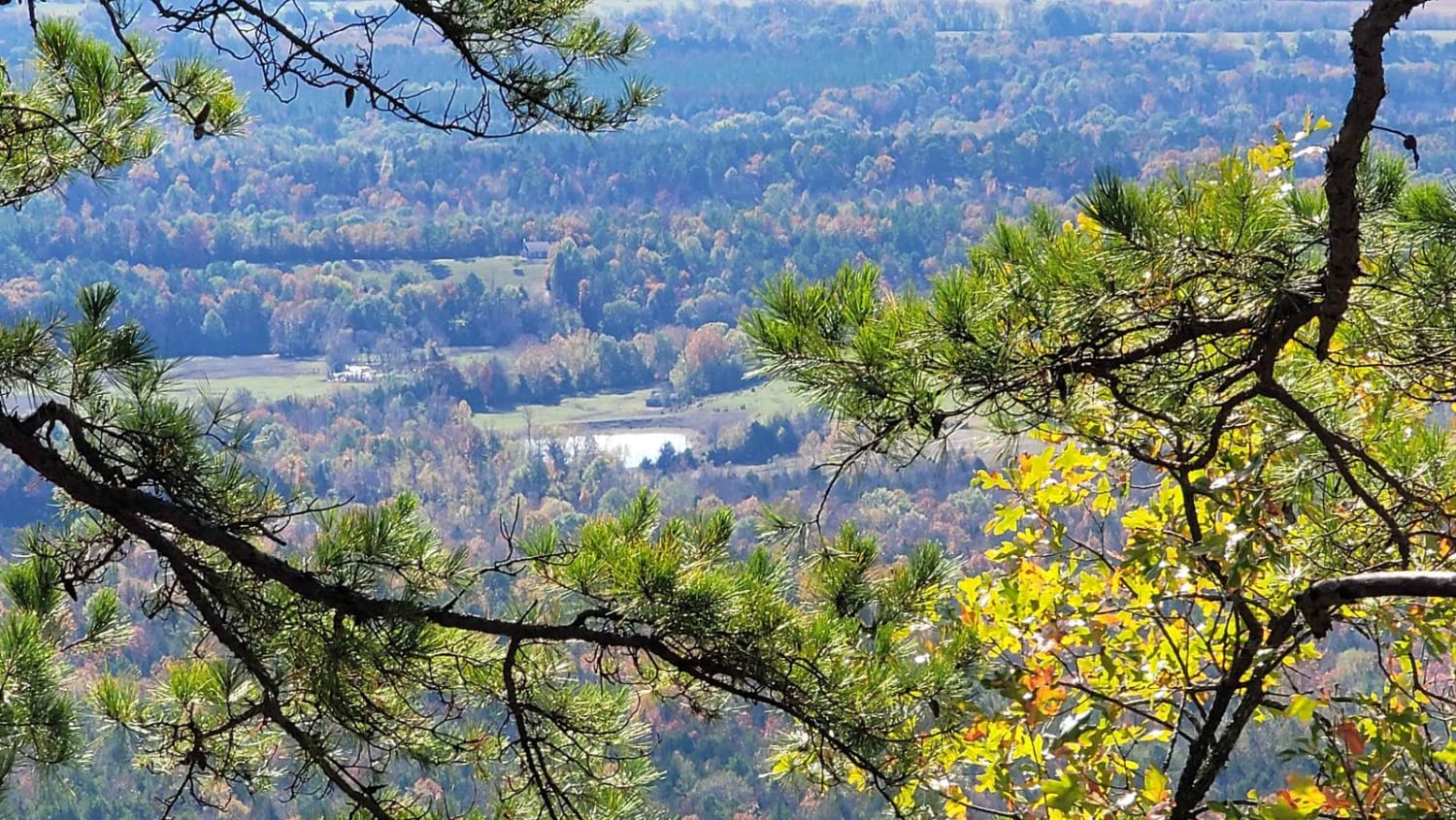
This 13,626-acre area is composed of 5,866 acres of state-owned land and 7,760 acres leased from International Paper and Potlatch timber companies.The primary objective of this management area is to provide high-quality wildlife habitat and public hunting opportunities. Bois d' Arc Lake provides excellent fishing and bird-watching opportunities.The area consists primarily of bottomland hardwood habitats. This includes a 660-acre Greentree Waterfowl Area. Little Grassy Duck Area is a 150-acre moist-soil management unit.Bois d'Arc Lake and the associated creeks and sloughs are also home to the American Alligator. Caution should be used at all times, especially during warm weather, and swimming is not allowed. The lake also has numerous stumps and logs which require slow boat operations.
Photos of Bois d'Ark Trail back to Interstate 30

Difficulty
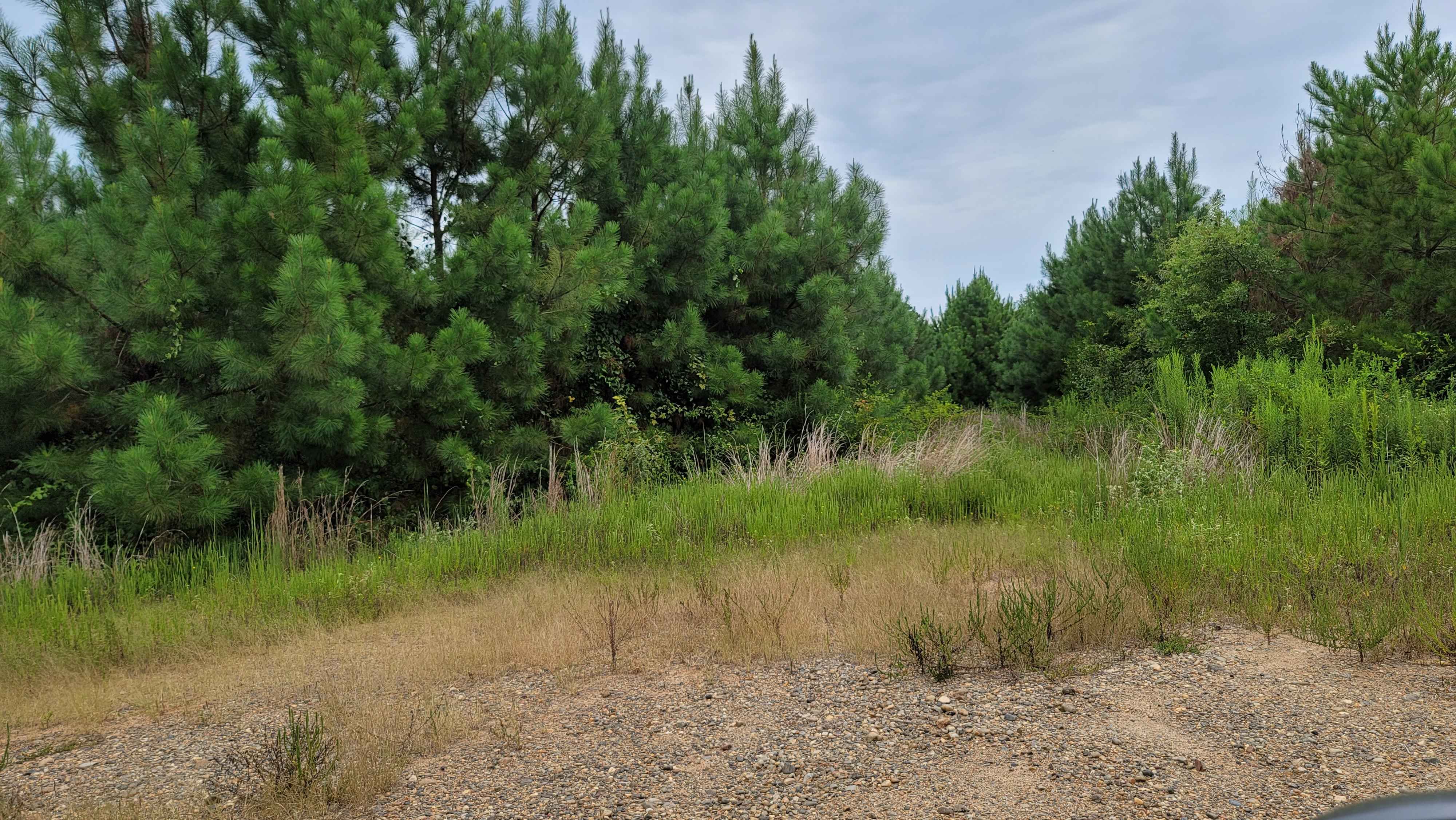
Some one track wide roads but mainly double track. Gravel and dirt. The roads can be slippery after rain .
History
This 13,626 -acre wildlife management area was originally named for Bois d'Arc Creek when it was established in the 1950 s. The Commission re named the area Dr. Lester Sitzes III Bois d'Arc WMA in 2004 to honor its former chairman. The AGFC owns 5,866 acres of bottom land hardwood s on the property and leases 7,760 acres of intensively managed pine. The area Is noted for excellent duck, deer, turkey, squirrel and rabbit hunting. A system of levees and water-control structures enhances waterfowl habitat, including a 660-acre greentree reservoir, a 150-acre moist-soil unit and a 185acre waterfowl rest area. The AGFC also manages deer, turkey and alligator hunts on the property through a permit draw system. The 650 - acre Dr. Lester Sitzes III Bois d'Arc Lake was renovated in 2002 and provides excel lent year-round bird -watching and fishing opportunities. Swimming is prohibited because of the area's American alligator population. Two large camping area s and four public access areas are available on the lake. For additional information, contact the Hope Regional Office toll free at (877 )777-5580.
Status Reports
Bois d'Ark Trail back to Interstate 30 can be accessed by the following ride types:
- High-Clearance 4x4
- SUV
Bois d'Ark Trail back to Interstate 30 Map
Popular Trails

Poteau West

F7 Gadsden Flag

1ST Motorcycle Only
The onX Offroad Difference
onX Offroad combines trail photos, descriptions, difficulty ratings, width restrictions, seasonality, and more in a user-friendly interface. Available on all devices, with offline access and full compatibility with CarPlay and Android Auto. Discover what you’re missing today!