H36
Total Miles
0.1
Technical Rating
Best Time
Spring, Summer, Fall, Winter
Trail Type
Full-Width Road
Accessible By
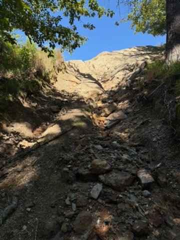
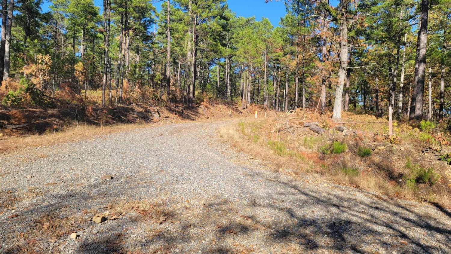
Trail Overview
H36 can be accessed from H5 (Corner of H30) or H6. This trail is full of loose and sharp rock, steep grade, and a very washed-out section. The side closest to H6 is extremely steep, rocky, and rutted out. The side closest to H5 also has a very washed-out side, but at the time of this posting, there is enough room to make it by. This trail will get worse over time. A Park Day-Use Trail Pass is required to access this system of trails. Cell service is spotty in places, and trail conditions can change quickly, especially during rainy or winter seasons.
Photos of H36

Difficulty
This trail is full of loose and sharp rock, steep grade, and a very washed-out section. The side closest to H6 is extremely steep, rocky, and rutted out. The side closest to H5 also has a very washed-out side, but at the time of this posting, there is enough room to make it by. This trail will get worse over time.
Status Reports
H36 can be accessed by the following ride types:
- High-Clearance 4x4
- SUV
- SxS (60")
H36 Map
Popular Trails

Buffalo Leaves the Forest
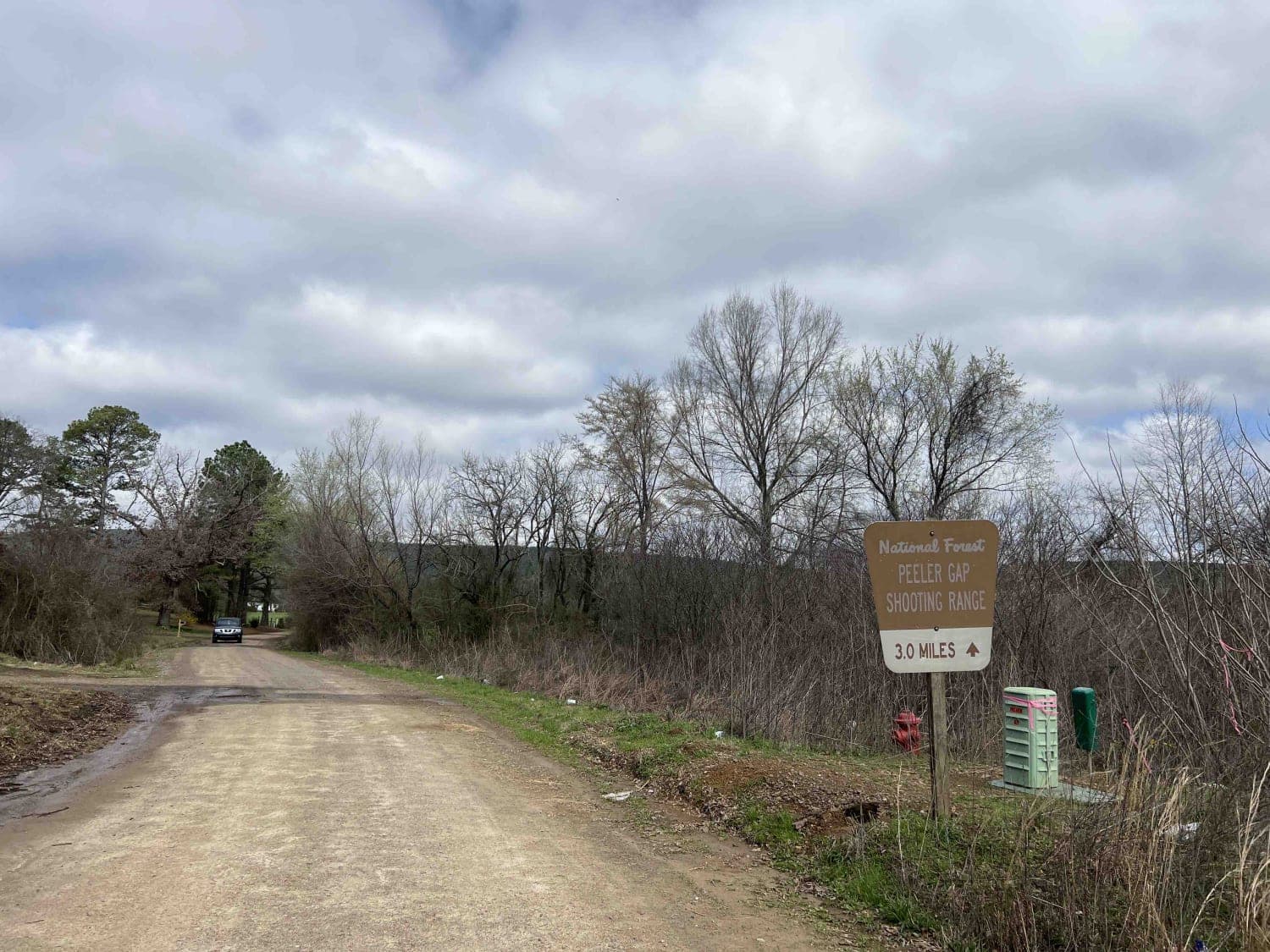
Peeler Gap Shooting Range
Pipe Spring
The onX Offroad Difference
onX Offroad combines trail photos, descriptions, difficulty ratings, width restrictions, seasonality, and more in a user-friendly interface. Available on all devices, with offline access and full compatibility with CarPlay and Android Auto. Discover what you’re missing today!