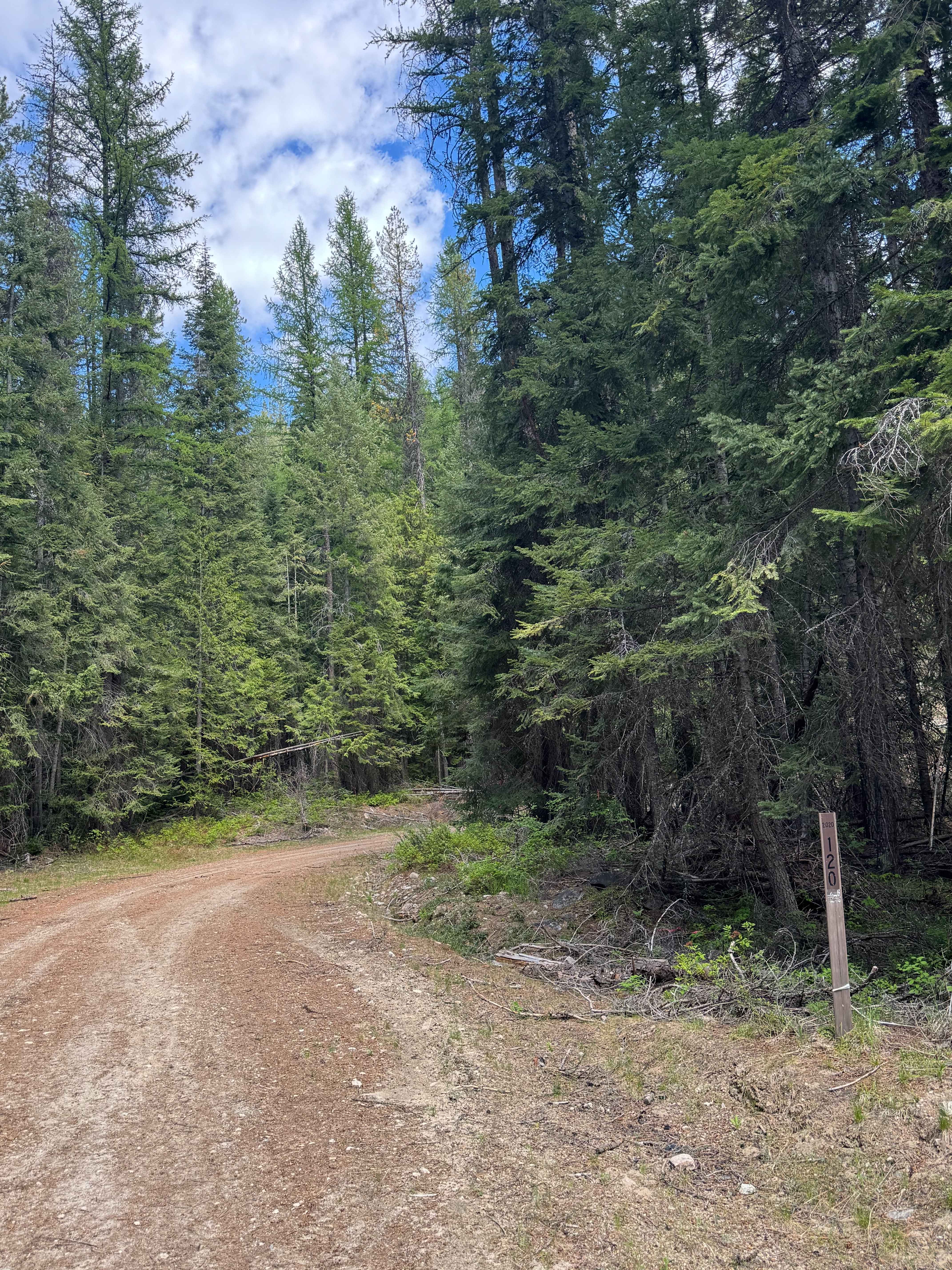
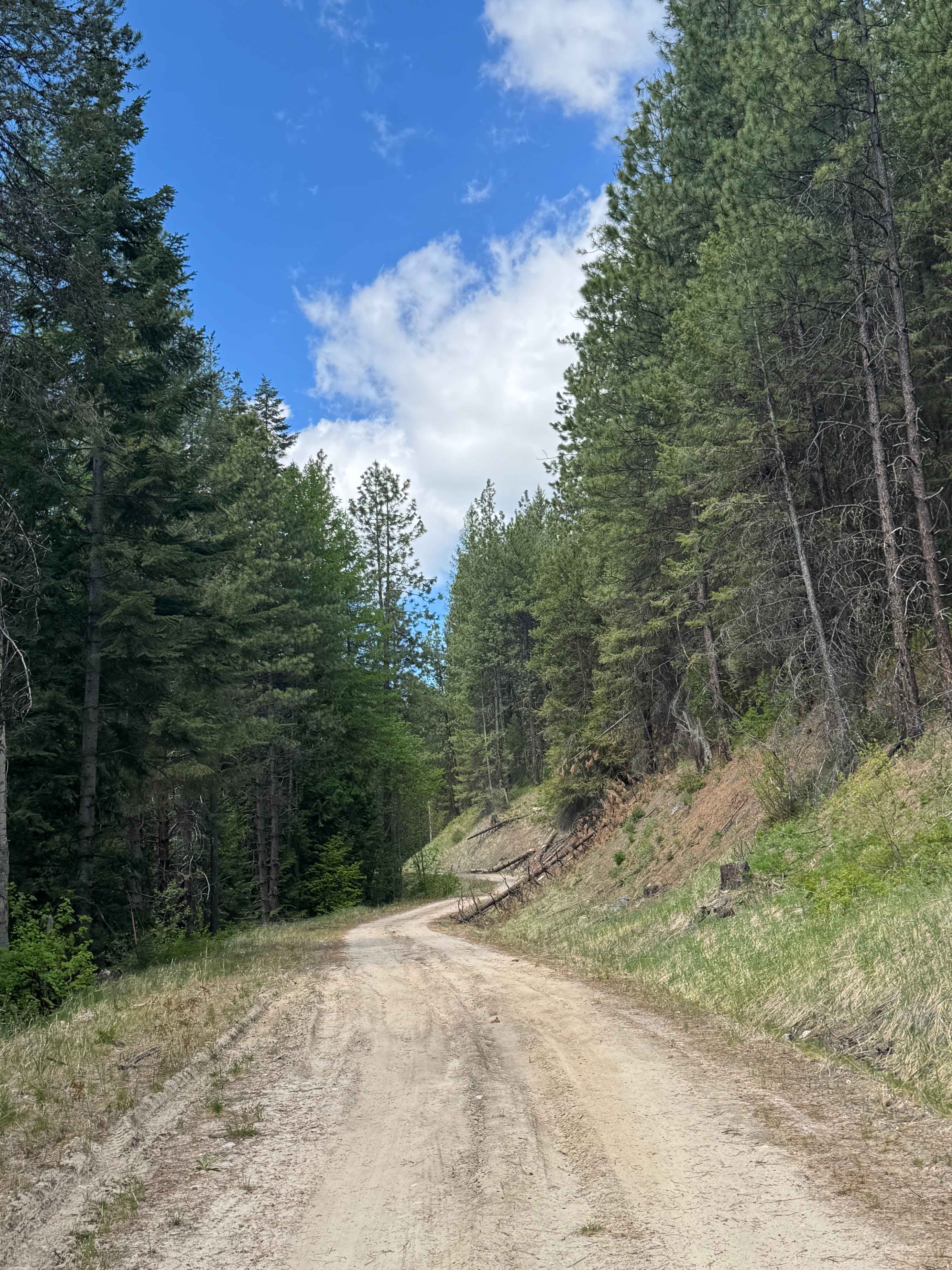
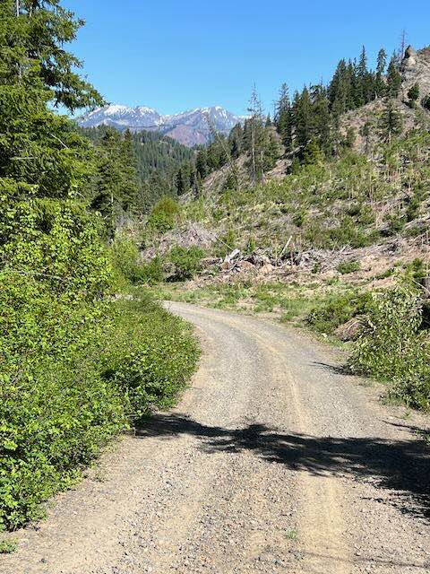
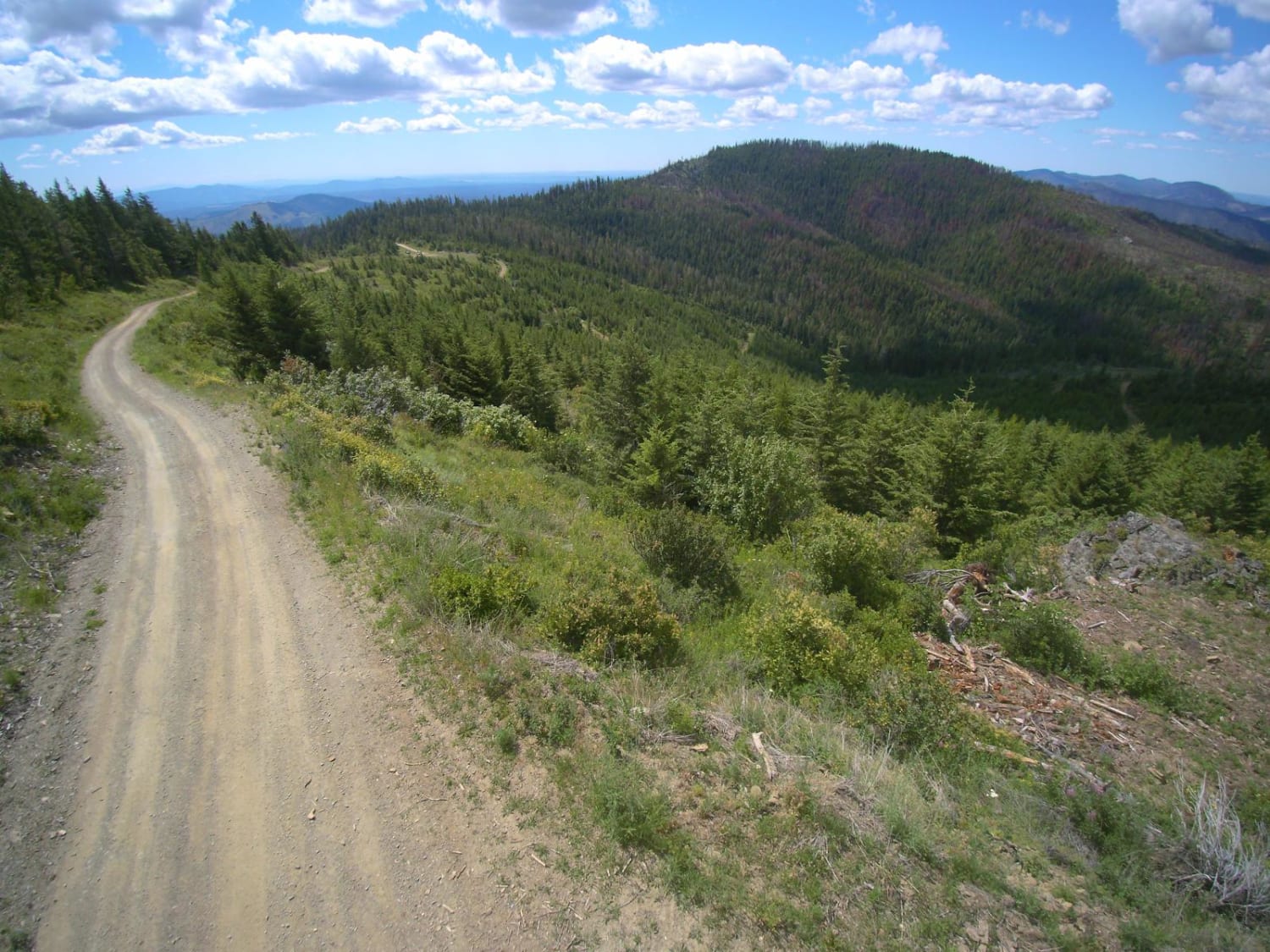
Bridge Creek - FS 2020-120
Total Miles
4.2
Technical Rating
Best Time
Spring, Summer, Fall
Trail Type
Full-Width Road
Accessible By
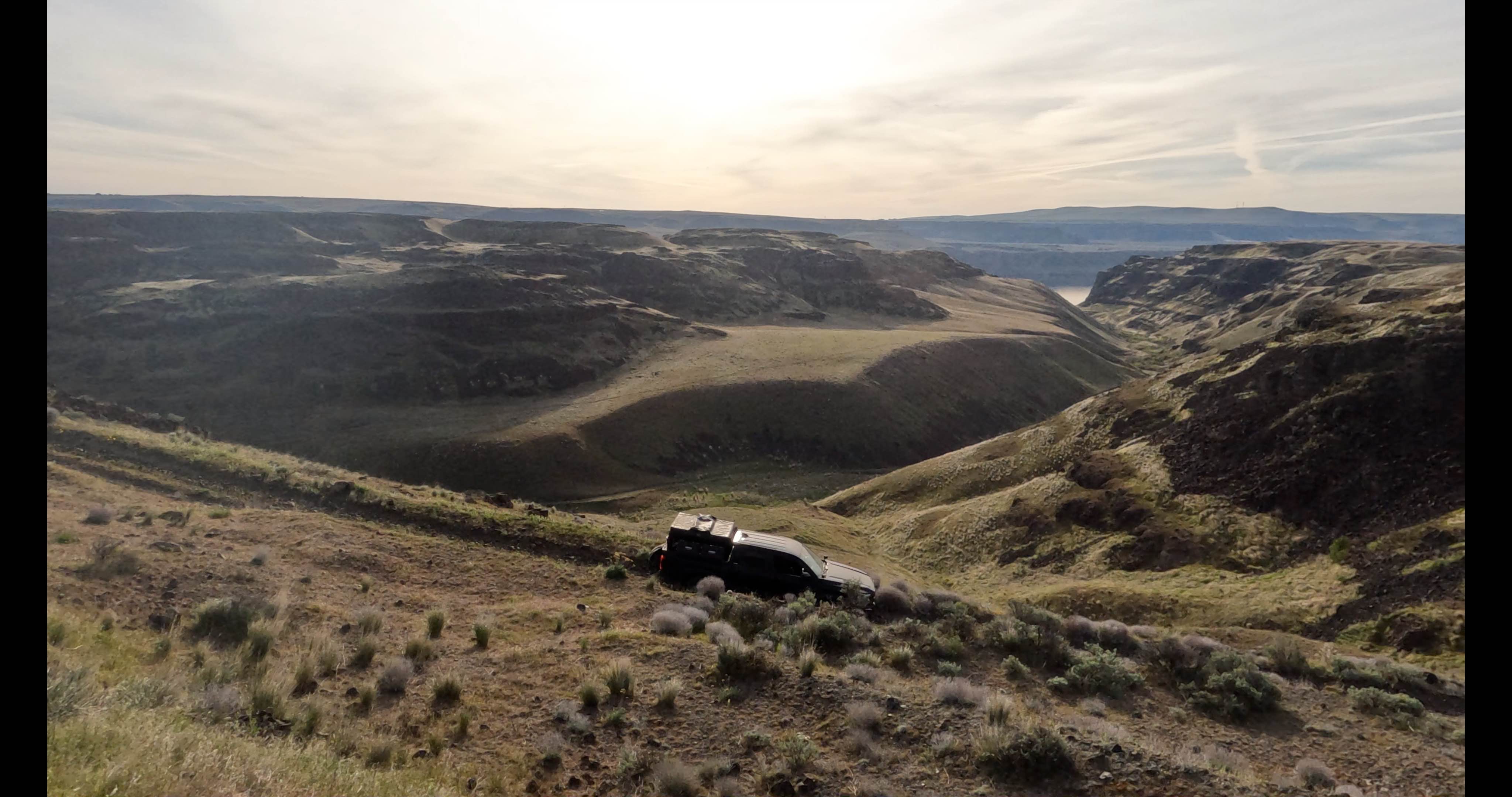
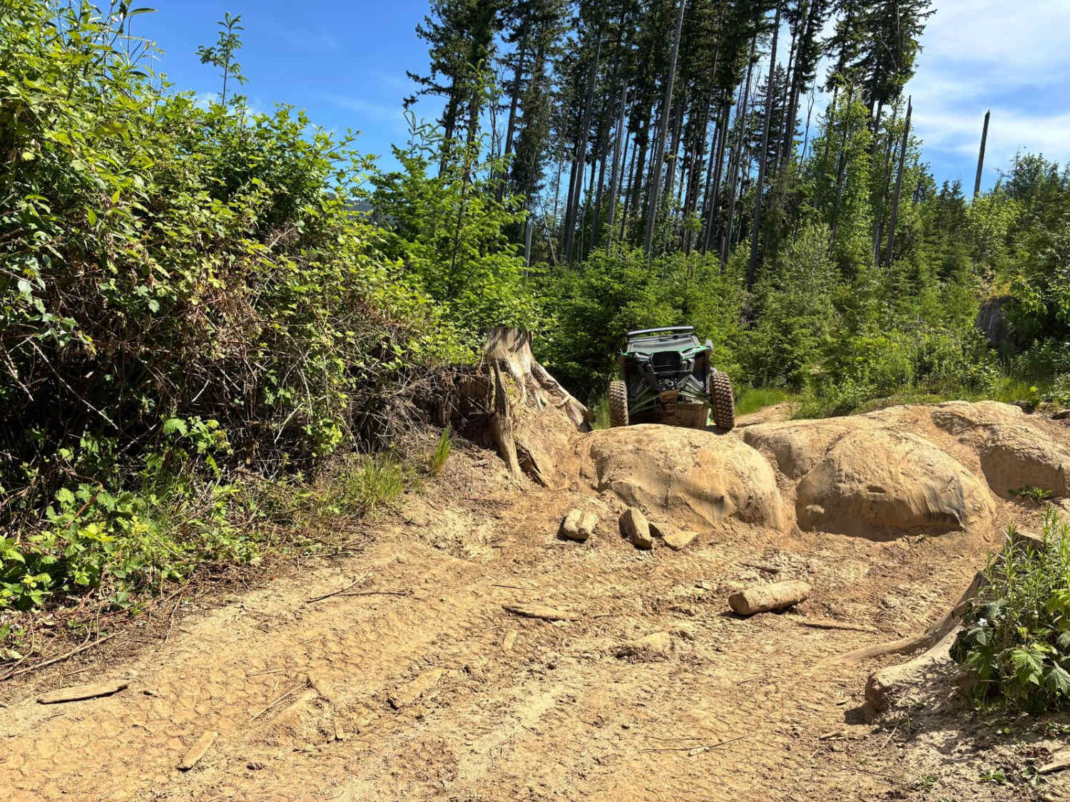
Trail Overview
This is a dirt-based forest road that is narrow and one lane most of the way. The trail is two-track in some places, and there are multiple switchbacks and ledges with drop-offs. The trail has minor ruts and wash, but could be driven by any vehicle type. The trail gradually climbs, gaining approximately 1,550 feet in elevation over 4.1 miles before ending at a locked gate to a closed road. There are views of the surrounding ridges and peaks, and camping is allowed along this entire trail with many pull-off dispersed camping sites. Cell phone service is weak, so offline maps and a satellite communications device are recommended. The nearest services and supplies are approximately a 30-minute drive away in Kettle Falls.
Photos of Bridge Creek - FS 2020-120
Difficulty
Narrow, one-lane, dirt-based forest road. The trail has some switchbacks and ruts/wash around a foot deep in some places. High clearance 4x4 recommended.
Status Reports
Bridge Creek - FS 2020-120 can be accessed by the following ride types:
- High-Clearance 4x4
- SUV
- SxS (60")
- ATV (50")
- Dirt Bike
Bridge Creek - FS 2020-120 Map
Popular Trails
Scotty Creek Road - FS 7324
Timber Tamer
The onX Offroad Difference
onX Offroad combines trail photos, descriptions, difficulty ratings, width restrictions, seasonality, and more in a user-friendly interface. Available on all devices, with offline access and full compatibility with CarPlay and Android Auto. Discover what you’re missing today!