FS 1S30
Total Miles
1.9
Technical Rating
Best Time
Fall, Summer, Spring
Trail Type
Full-Width Road
Accessible By
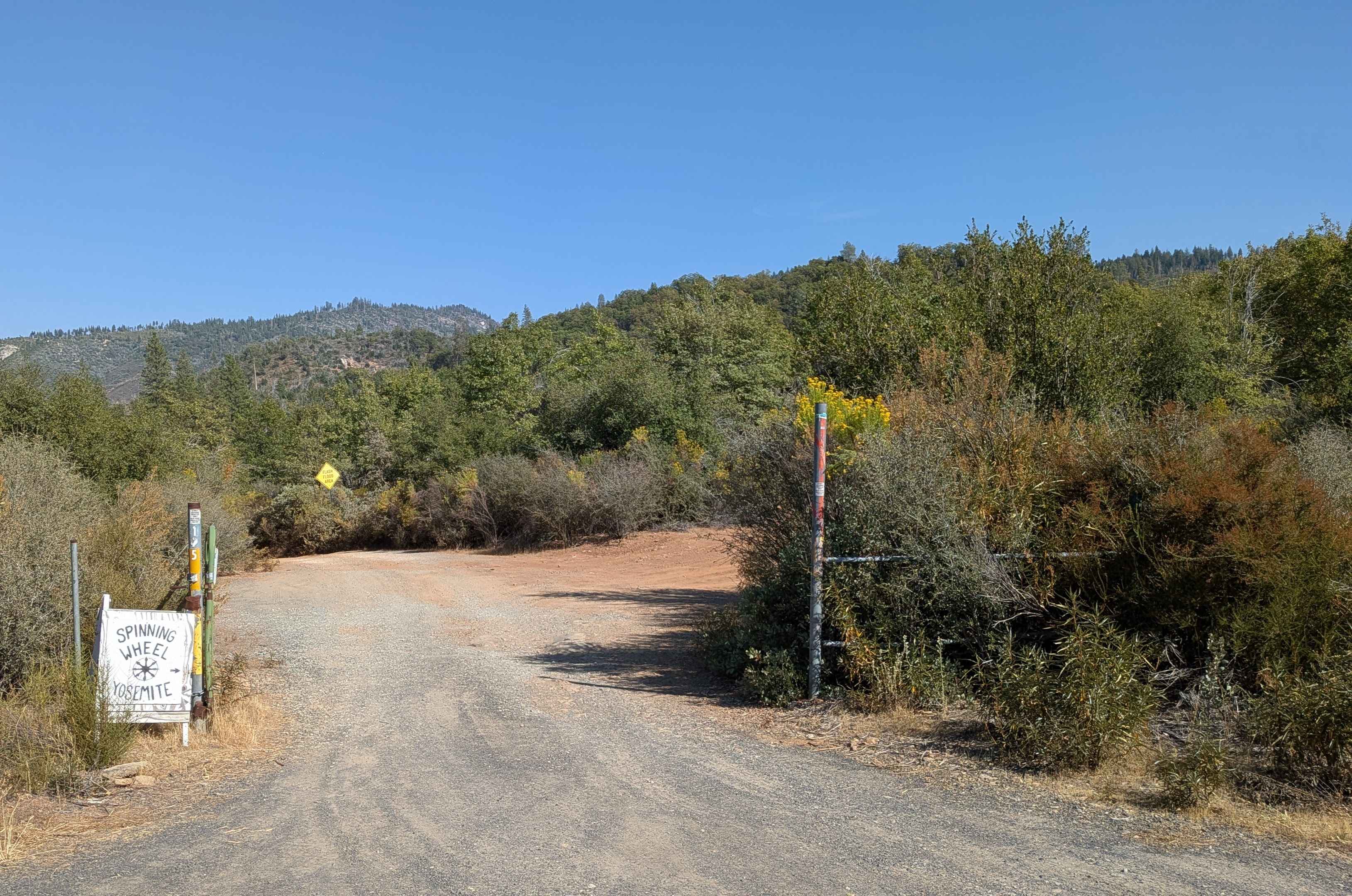
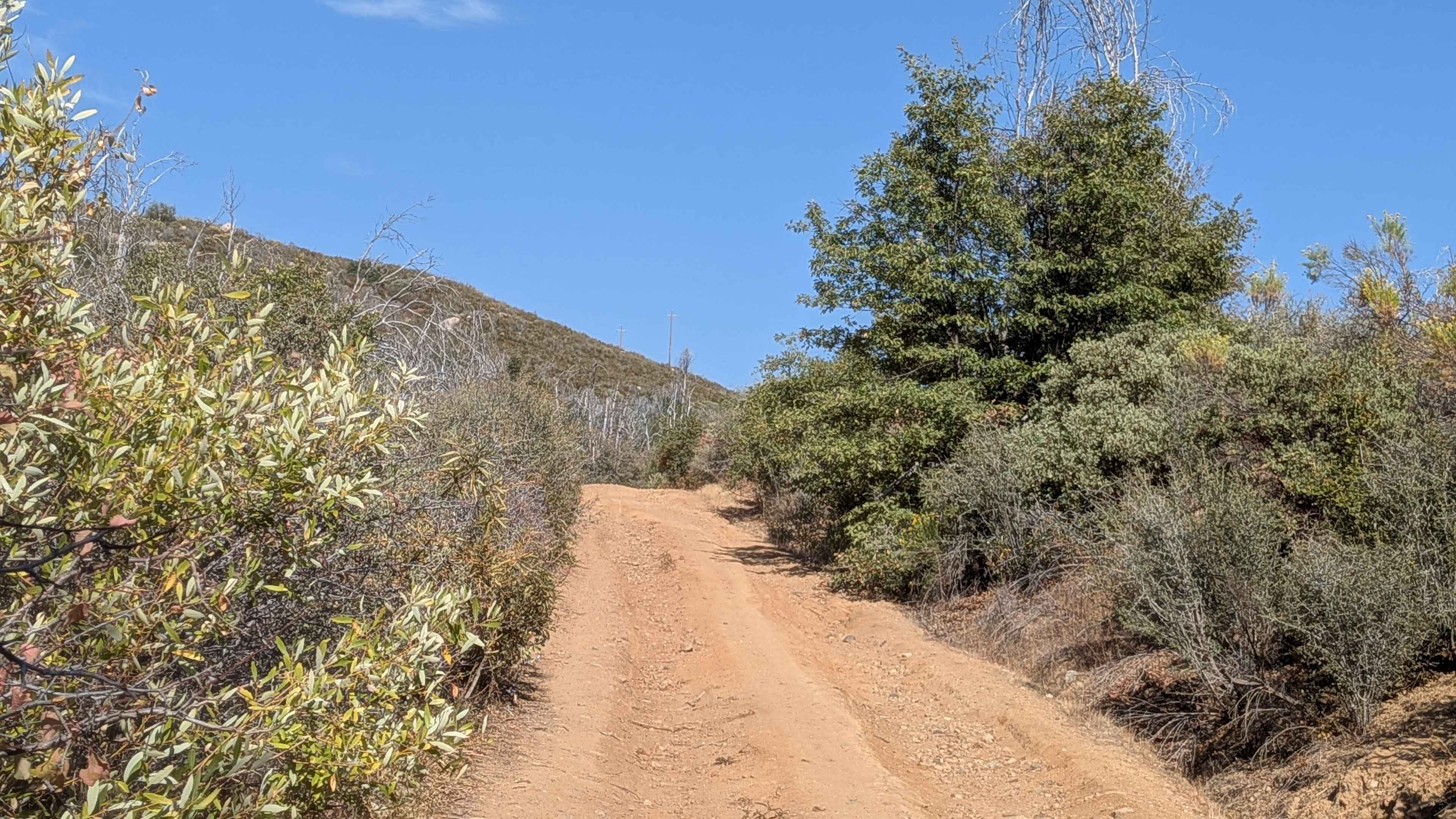
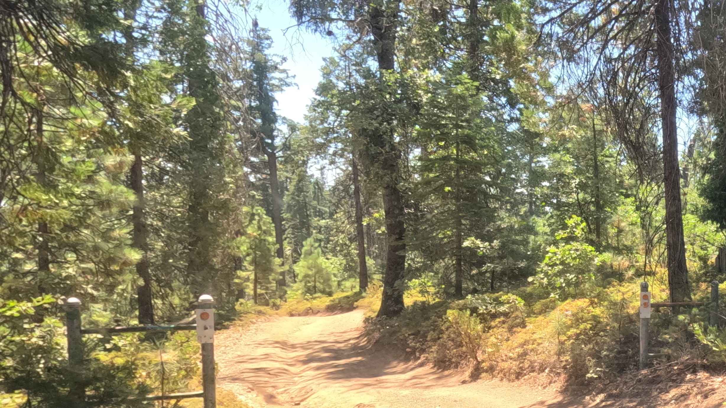
Trail Overview
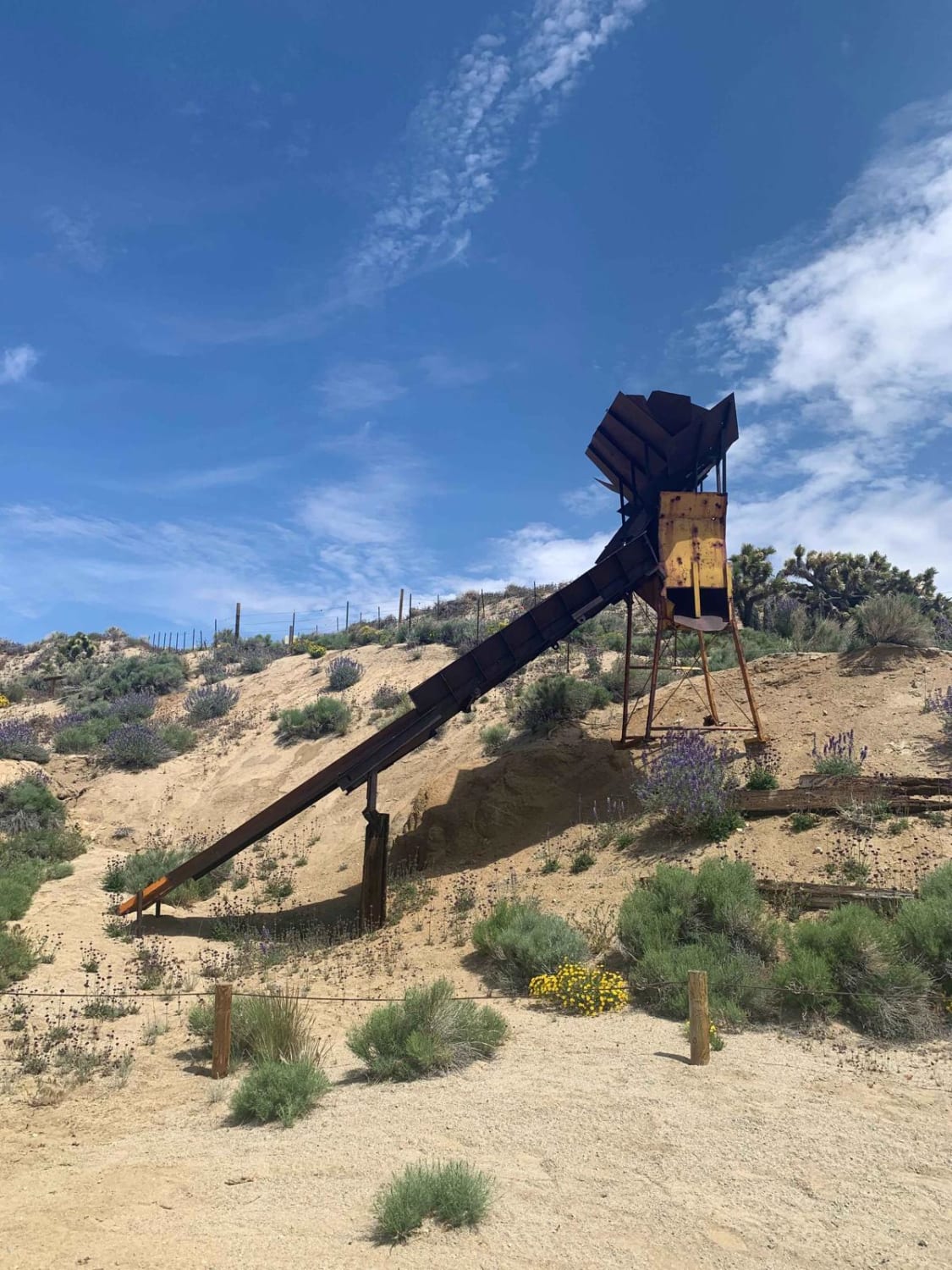
This trail starts on Cherry Lake Road as a 4-mile in-and-out trail that climbs almost 200 feet and drops almost 200 feet in just over 2 miles within the Stanislaus National Forest. A primitive campground with bathroom facilities is located next to the trail, providing convenient amenities for overnight stays. The sandy surface maintains one and a half to two vehicles in width but features numerous potholes that require careful navigation and speed control. This is a flash flood possible area requiring awareness of weather conditions, as it runs near the Middle Tuolumne River, where water levels can rise rapidly during storms or snowmelt. The dusty trail is lined with diverse flora, including spiny bushes, manzanita, and various types of smaller trees that create natural corridors. After half a mile, the trail crosses into private land where venturing off the established road is strictly prohibited, requiring adherence to the designated route. At mile 1.2, the trail ascends a sandy hill with ruts that continue for the next quarter mile through very sandy terrain that can challenge traction. At least 3 small creek crossings were dry during mid-September, but could be flowing during spring conditions or after heavy rains, adding seasonal variability to the obstacles. The trail terminates at a locked gate, requiring a turnaround for all vehicles. Only highway legal vehicles are permitted on this route.
Photos of FS 1S30
Difficulty
This trail receives a difficulty rating of 2, indicating easy conditions suitable for most vehicles with adequate ground clearance. The sandy surface with numerous potholes, ruts, particularly on the sandy hill section, potential creek crossings depending on seasonal conditions, and flash flood area considerations creates manageable challenges. While 4x4 is not required, it may be helpful during wet or muddy conditions despite the easy rating classification.
Status Reports
FS 1S30 can be accessed by the following ride types:
- High-Clearance 4x4
- SUV
FS 1S30 Map
Popular Trails
Ten Mile Spur - FS 5S062

Fish Slough Road (3V01)
The onX Offroad Difference
onX Offroad combines trail photos, descriptions, difficulty ratings, width restrictions, seasonality, and more in a user-friendly interface. Available on all devices, with offline access and full compatibility with CarPlay and Android Auto. Discover what you’re missing today!