537 - Flag Mountain
Total Miles
1.3
Technical Rating
Best Time
Fall, Winter
Trail Type
Full-Width Road
Accessible By
Trail Overview
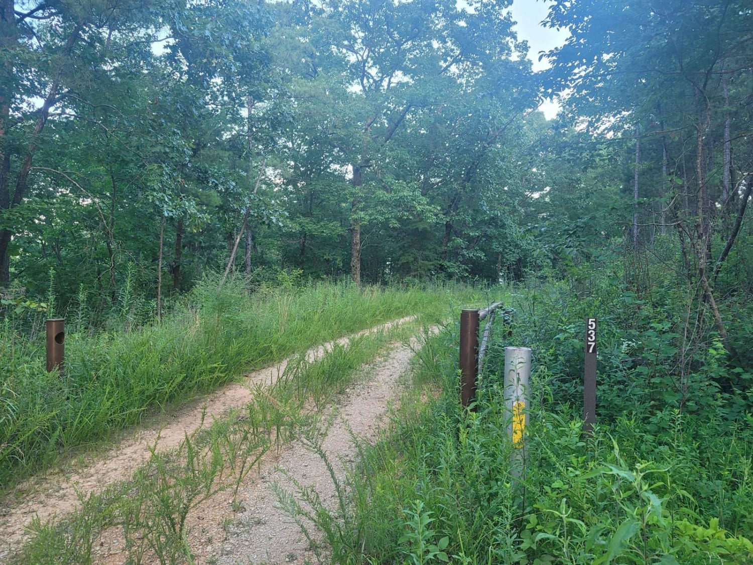
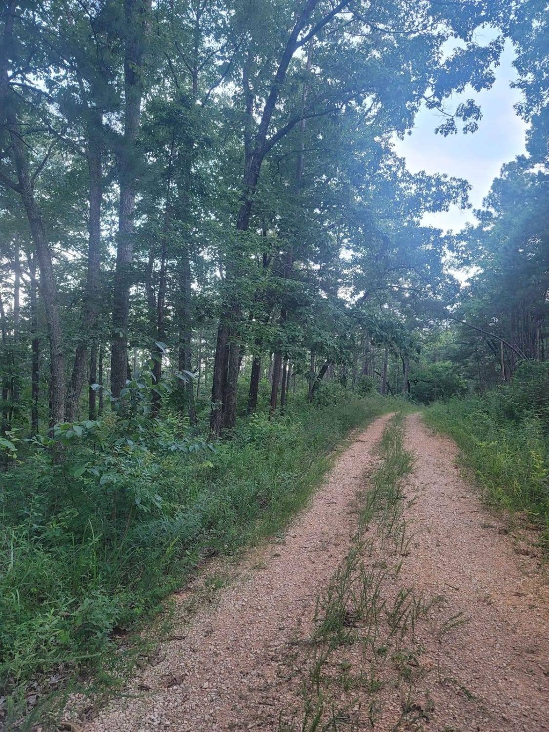
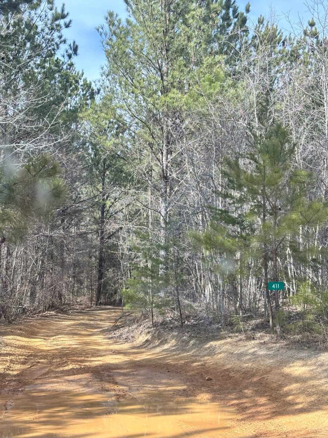
Trail 537 - Flag Mountain is a rolling hills descent into the Talladega National Forest that shows just how well Alabama's National Forest is managed within the management area that is the Shoals Creek District. Most all trails in this area are well maintained; however, ones like these can slowly degrade over time simply due to the terrain's water runoff. This trail is mainly dirt with frequently fallen trees, but within two seasons, these fallen trees degrade due to the park's forestry service and the prescribed burns. Obstacles in this area don't last long, if not from fire, but due to the local hunters and off-roaders alike traveling these shale-covered trails. The beginning part will be guarded by pine trees and eventually open up to the hollows full of hardwoods. Do not continue all the way down the trail, as eventually, it runs into private land. That land is clearly marked by the owner as private property. According to the Motor Vehicle Use Map(MVUM), this trail is open from 10/01 to 02/09.
Photos of 537 - Flag Mountain
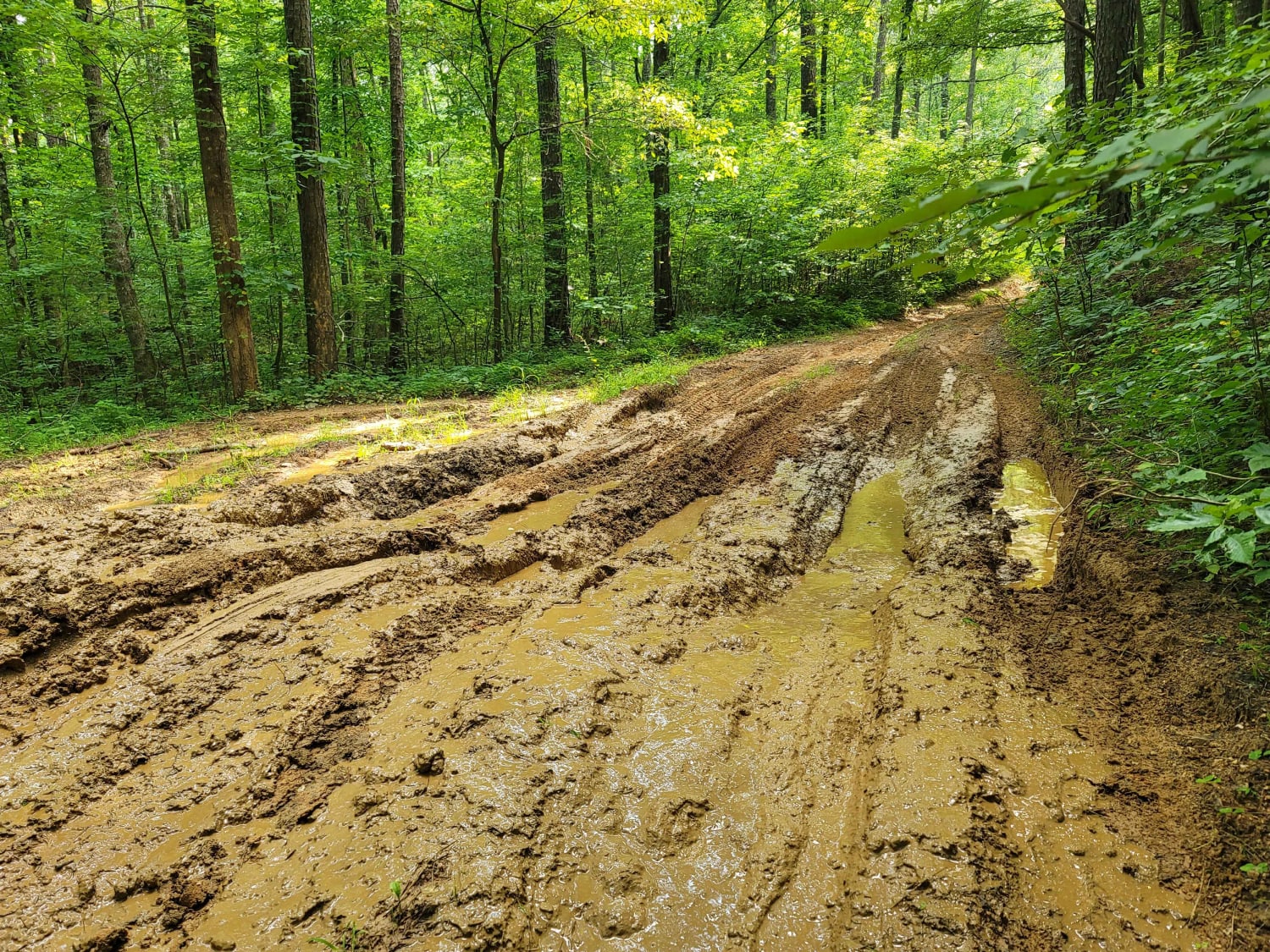
Difficulty
The most difficult obstacle you may face on this trail is a downed tree. There is slight down hill descents that would not be recommended for a 2WD.
537 - Flag Mountain can be accessed by the following ride types:
- High-Clearance 4x4
- SUV
537 - Flag Mountain Map
Popular Trails

National Forest Road 121
USFSR #515 Watts Mountainway West

The onX Offroad Difference
onX Offroad combines trail photos, descriptions, difficulty ratings, width restrictions, seasonality, and more in a user-friendly interface. Available on all devices, with offline access and full compatibility with CarPlay and Android Auto. Discover what you’re missing today!