Dismal Finale
Total Miles
0.6
Technical Rating
Best Time
Winter, Fall, Summer, Spring
Trail Type
Full-Width Road
Accessible By
Trail Overview
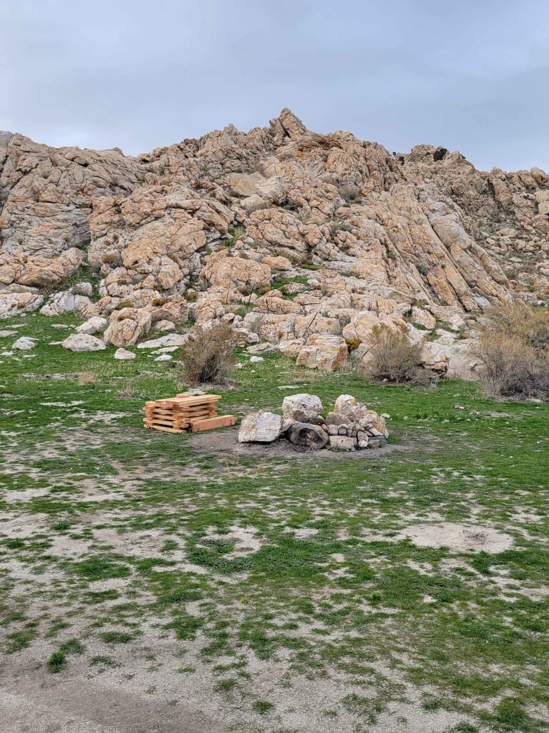
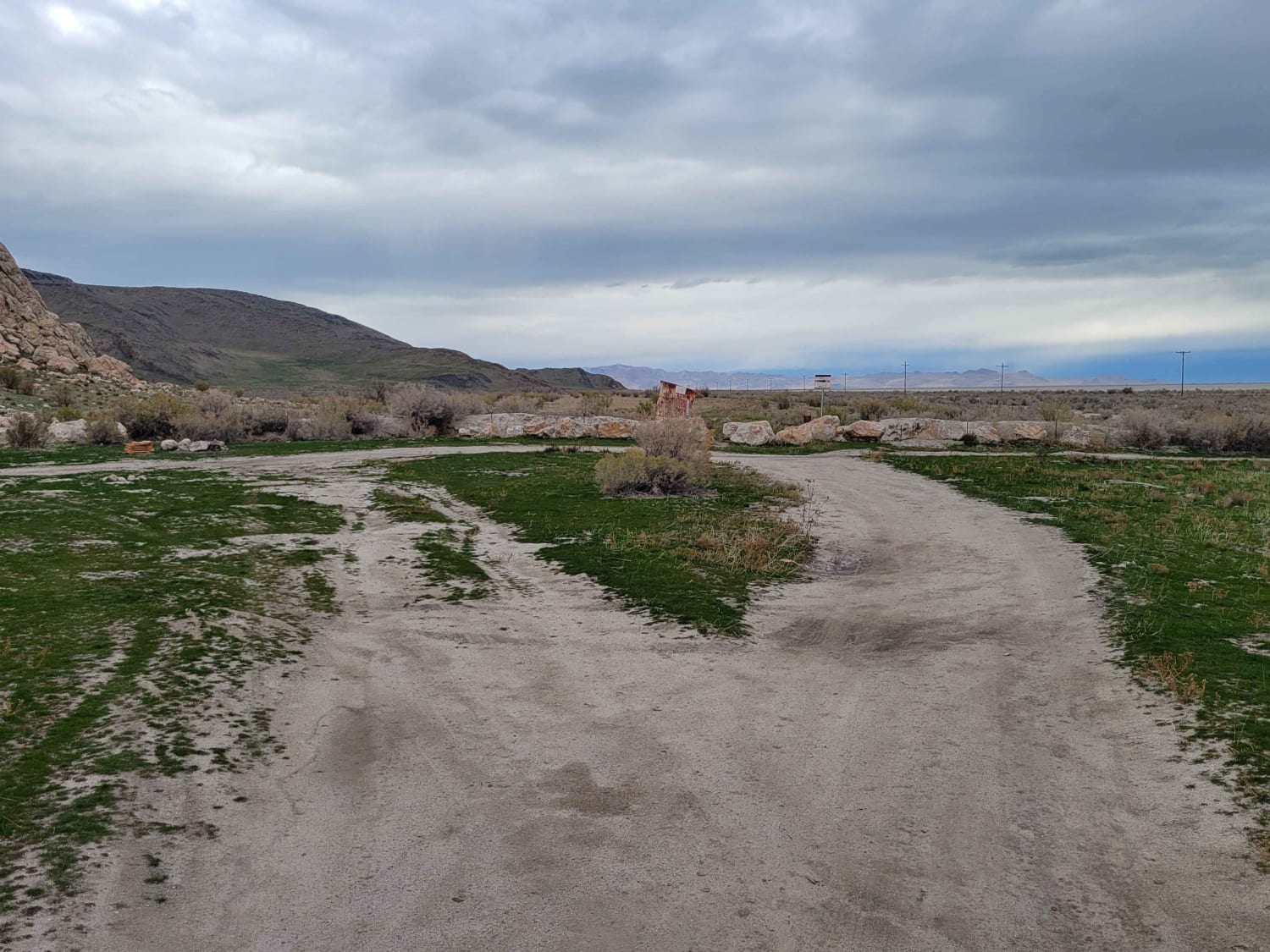
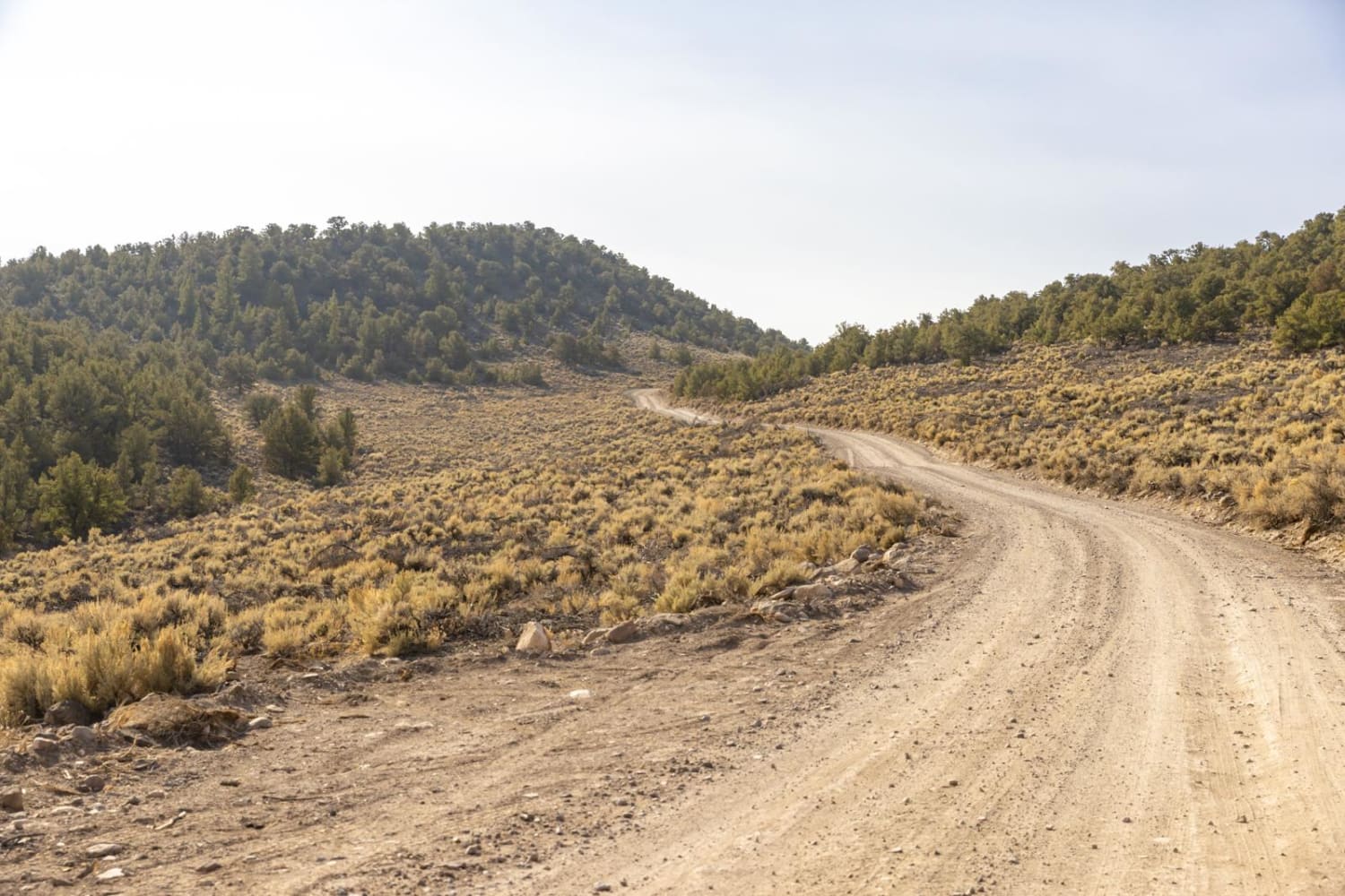
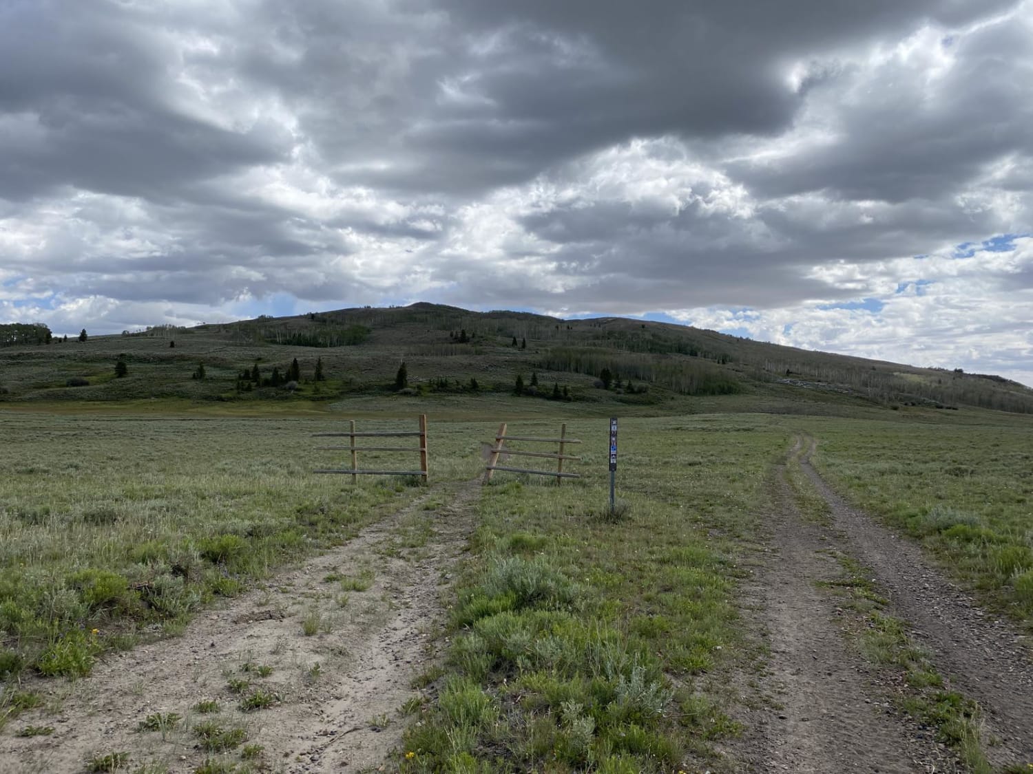
This little route leads to the furthest eastern end of publicly accessible BLM land. Beyond this point is private property. The trail itself is pretty beat up and in dismal shape, especially in wet conditions. Lots of mud holes and ruts to navigate. There was a lone fire ring at the end of the trail and a couple of shooting areas nearby.
Photos of Dismal Finale
Difficulty
This little route leads to the furthest eastern end of publicly accessible BLM. Beyond this point is private property. The trail itself is pretty beat up and in dismal shape, especially in wet conditions. Lots of mud holes and ruts to navigate. There was a lone fire ring at the end of the trail as well as a couple shooting areas nearby.
Status Reports
Dismal Finale can be accessed by the following ride types:
- High-Clearance 4x4
- SUV
- SxS (60")
- ATV (50")
- Dirt Bike
Dismal Finale Map
Popular Trails
Link 4 (Easy)
Nipple Butte Trail
Last Chance Road
The onX Offroad Difference
onX Offroad combines trail photos, descriptions, difficulty ratings, width restrictions, seasonality, and more in a user-friendly interface. Available on all devices, with offline access and full compatibility with CarPlay and Android Auto. Discover what you’re missing today!