BLM LA2 Highway 178 South
Total Miles
6.2
Technical Rating
Best Time
Fall, Summer, Spring
Trail Type
Full-Width Road
Accessible By
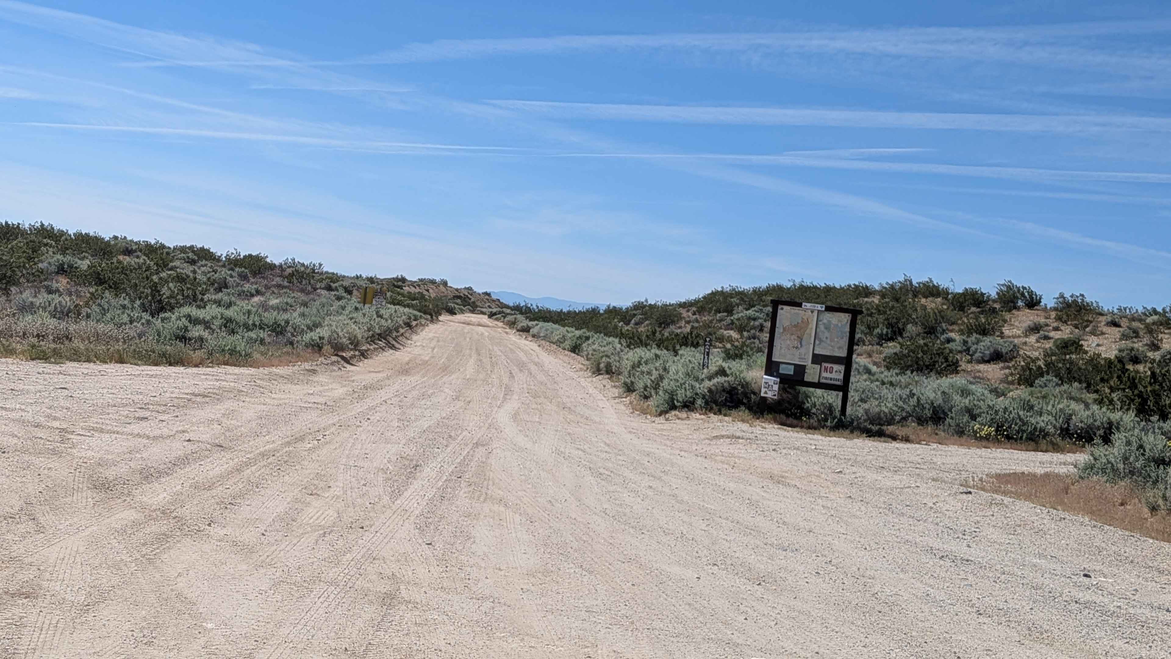
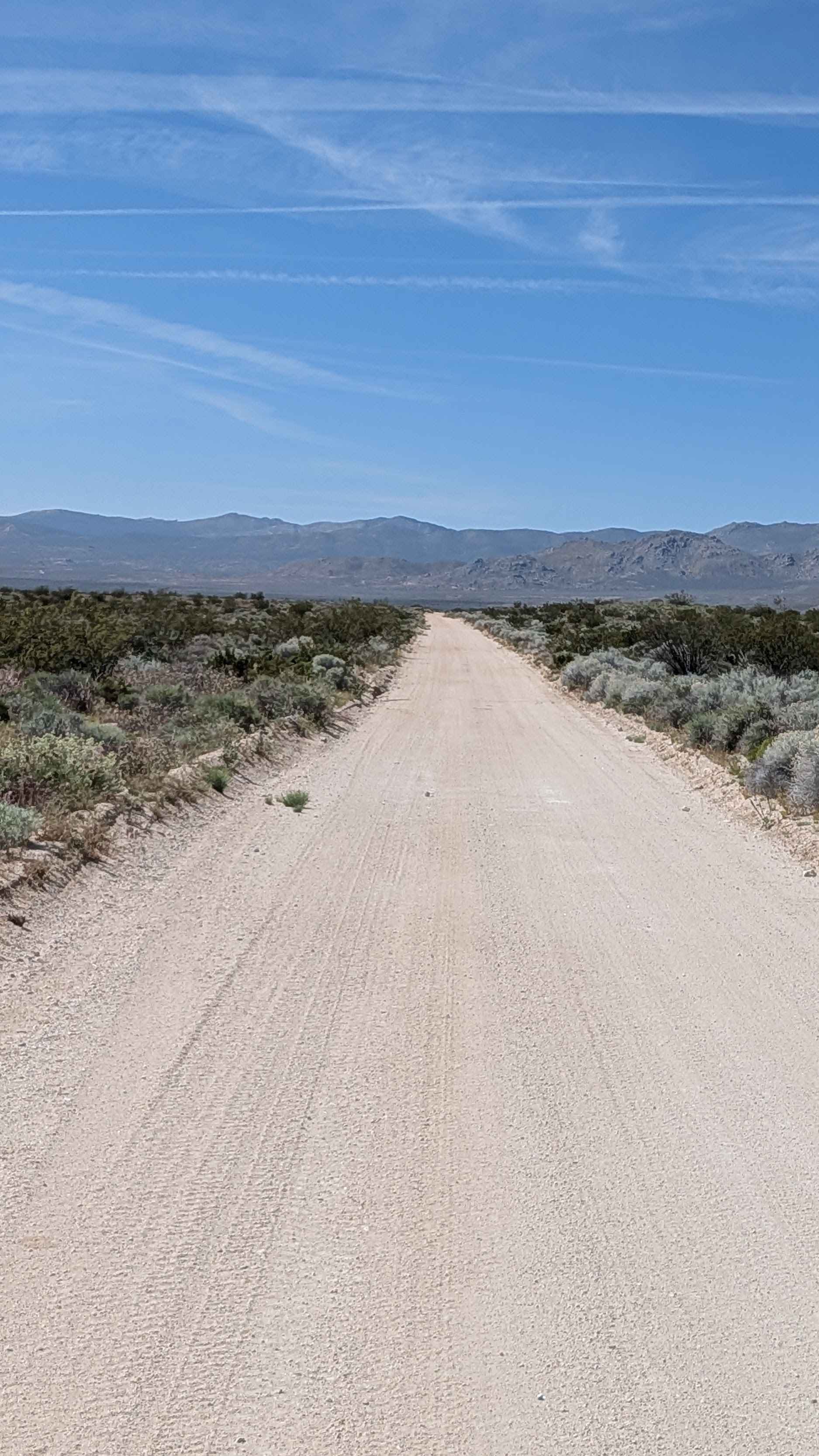
Trail Overview
Starting off Highway 178 with immediate views of Robbers Roost towering at 4,200 feet, this sandy 1 to 2.5 vehicle wide route serves as an alternative to the aqueduct route. Ruts, off camber sections, and uneven sections appear along the trail creating varied obstacles. Running through a limited use area where vehicles must stay on marked trails, this provides another alternative for traveling north and south without hitting pavement, though it's a windier trail than BLM LA1 with more turns. Serving as a feeder trail to the Robbers Roost area, those trails close from February 1st to July 1st due to birds of prey nesting, so respect those seasonal restrictions. Nice views of the Eastern Sierras reward the journey.
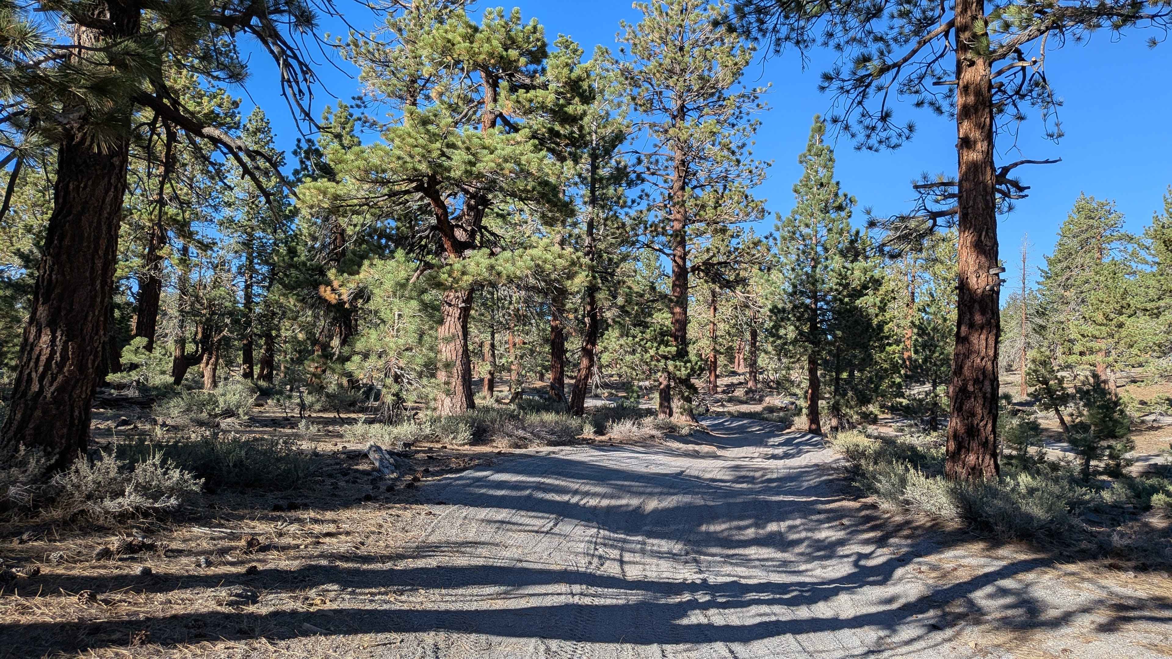
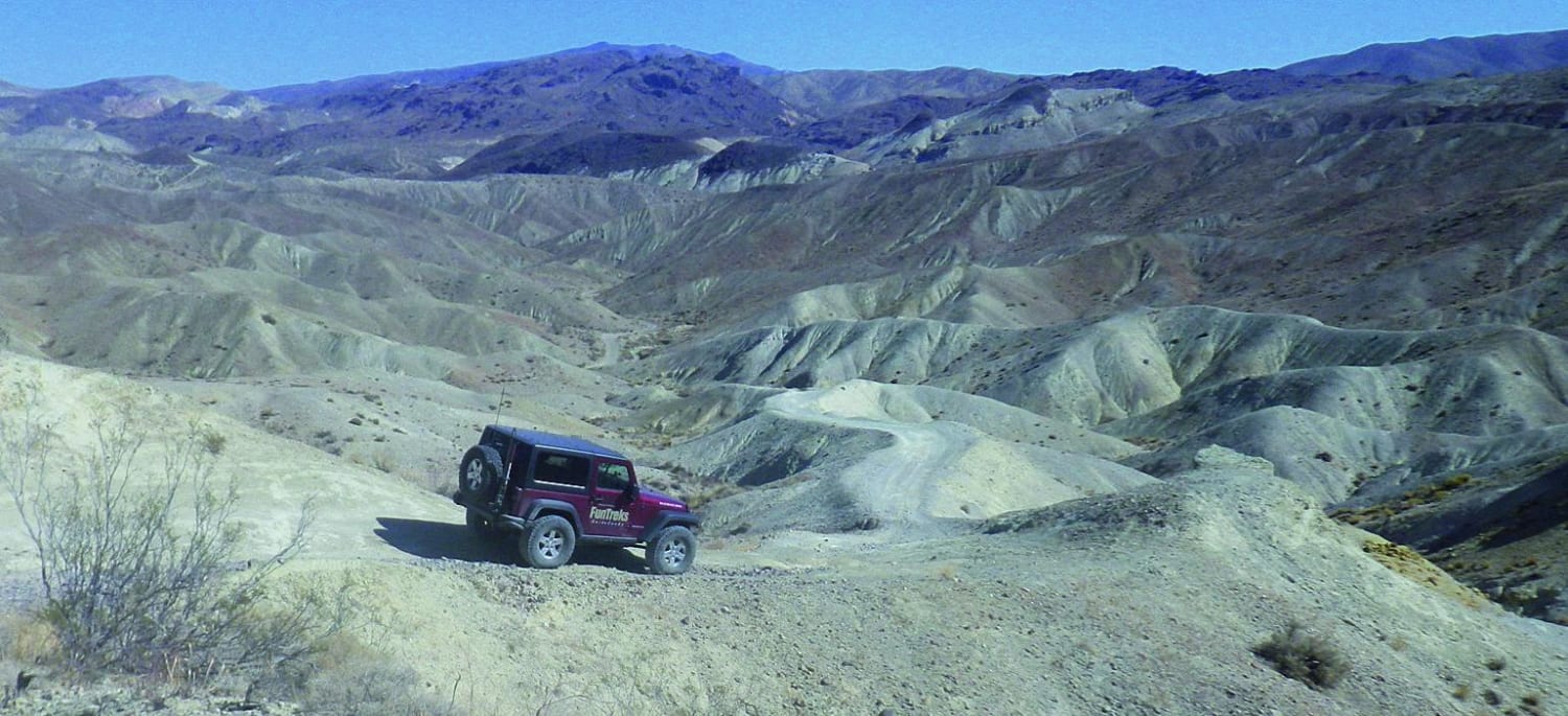
Photos of BLM LA2 Highway 178 South
Difficulty
The sandy surface at 1 to 2.5 vehicles wide provides comfortable navigation room. Those ruts, off-camber sections, and uneven sections create manageable challenges without extreme difficulty. Being windier than LA1 means more steering input and tighter turns. Respect the limited-use area boundaries, staying on marked trails only. The seasonal closure for nesting birds of prey from February 1st to July 1st is critical to observe. Overall, an accessible alternative route with slightly more character than its straighter counterpart.
Status Reports
BLM LA2 Highway 178 South can be accessed by the following ride types:
- High-Clearance 4x4
- SUV
- SxS (60")
- ATV (50")
- Dirt Bike
BLM LA2 Highway 178 South Map
Popular Trails
Camp Osito - FS 2N17
Opal Canyon
The onX Offroad Difference
onX Offroad combines trail photos, descriptions, difficulty ratings, width restrictions, seasonality, and more in a user-friendly interface. Available on all devices, with offline access and full compatibility with CarPlay and Android Auto. Discover what you’re missing today!