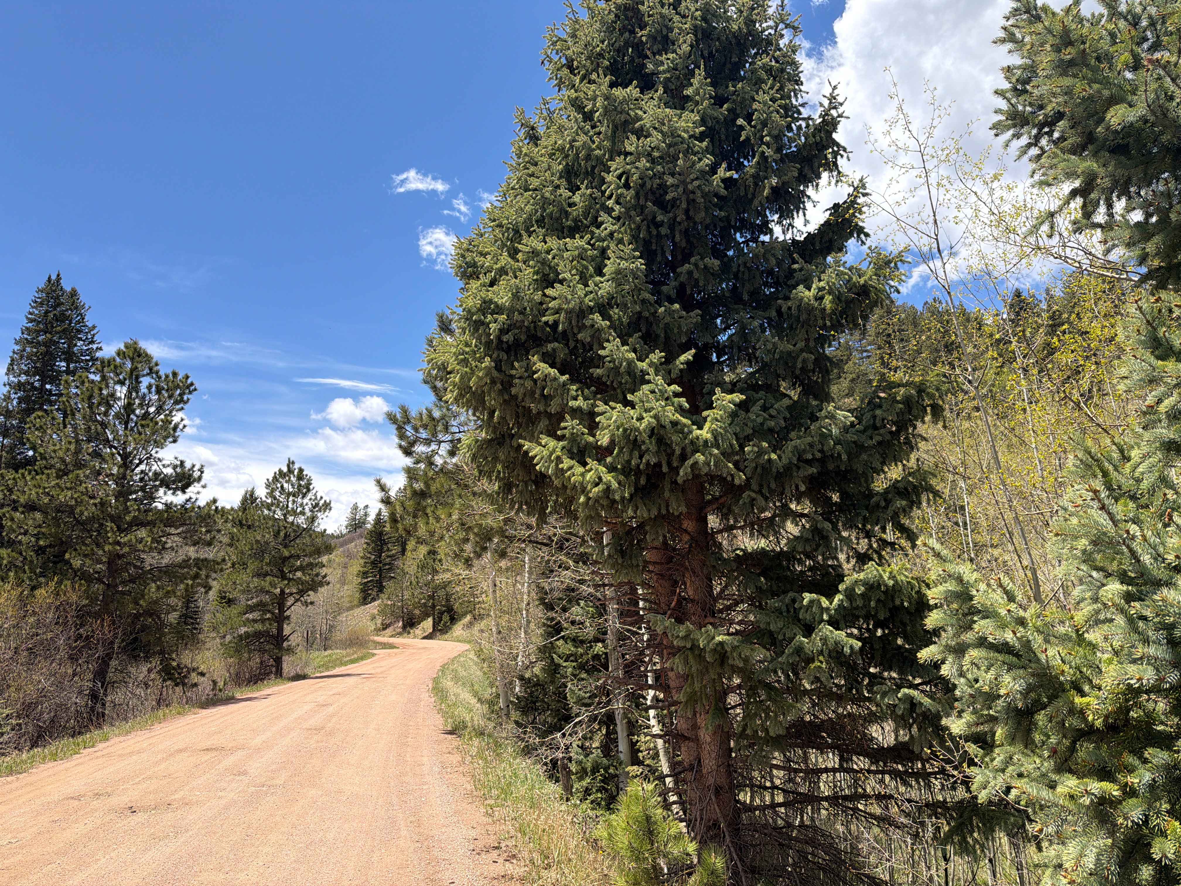
West Magnolia
Total Miles
4.2
Technical Rating
Best Time
Summer, Fall
Trail Type
Full-Width Road
Accessible By
Trail Overview
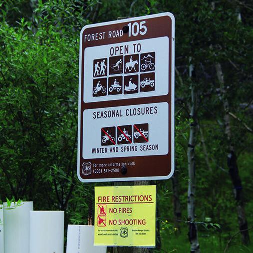
Kids will love this small area with intersecting forest roads and camping. To camp, enter at the north end. No dirt bikes allowed on this trail. Open May 15 to November 30.
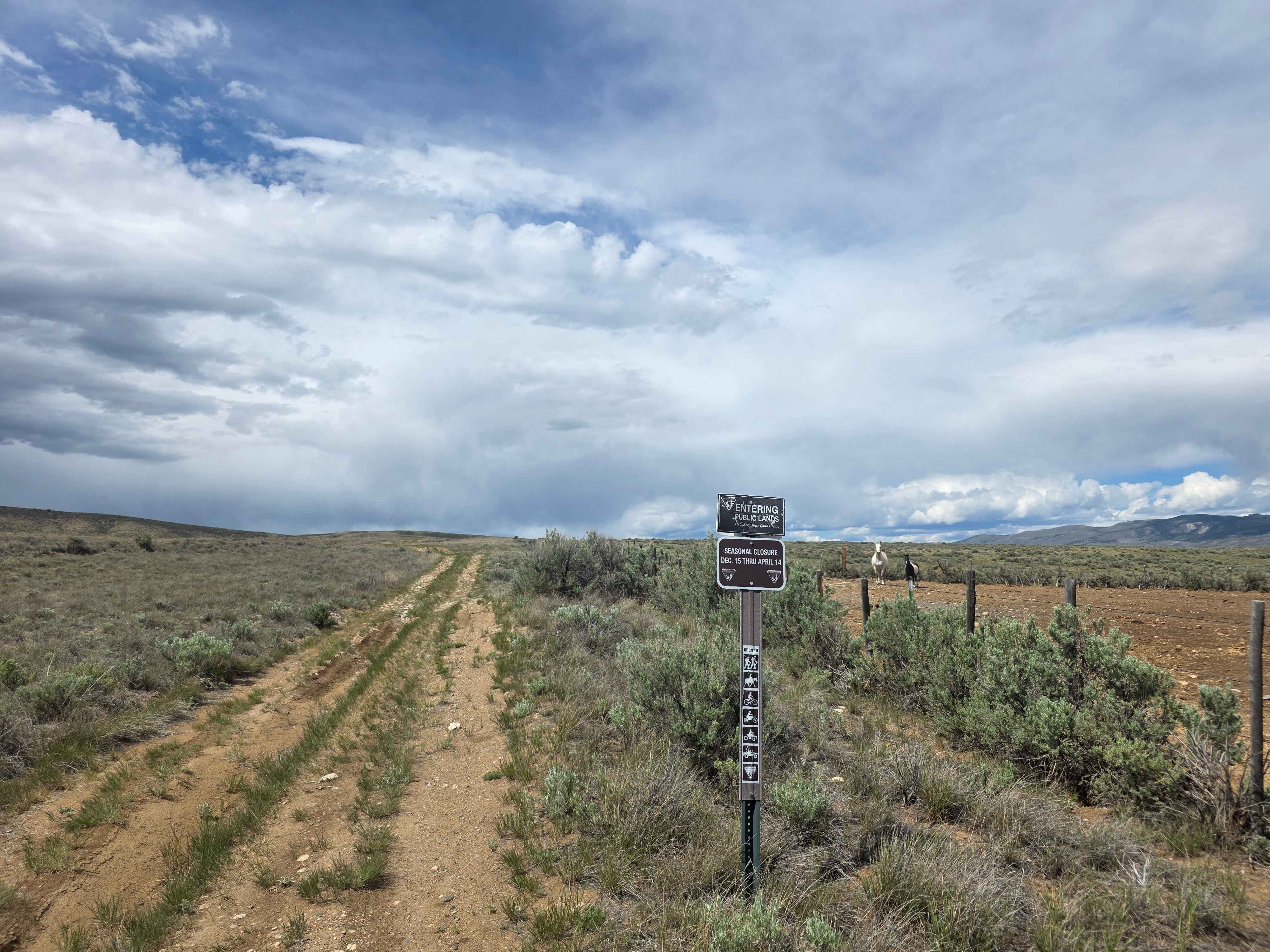
Photos of West Magnolia
Difficulty
Easy. Very narrow most of the way with one very steep downhill section. Lots of undulations. Can become rutted after heavy rainstorms.
History
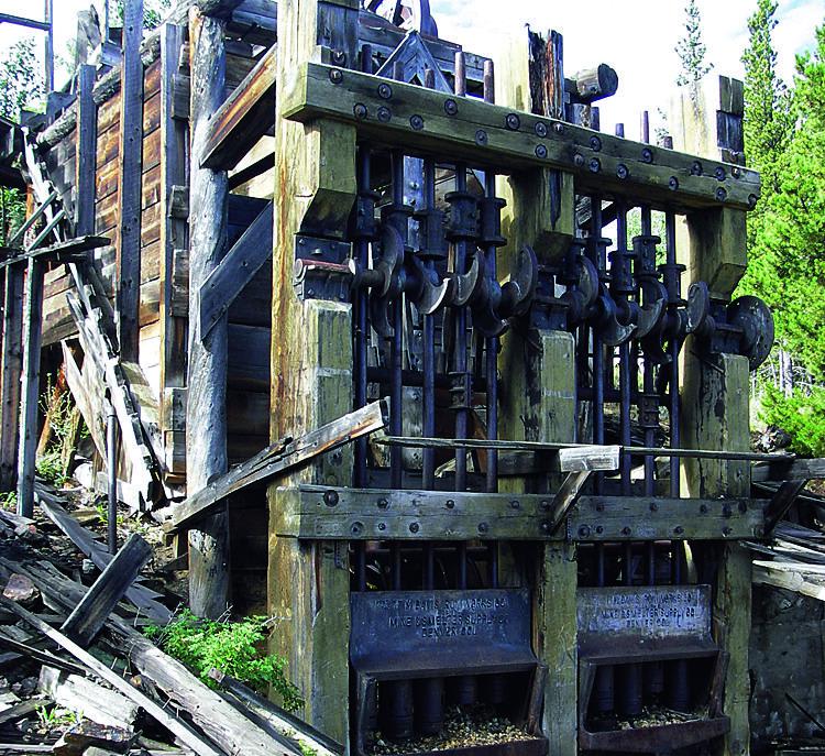
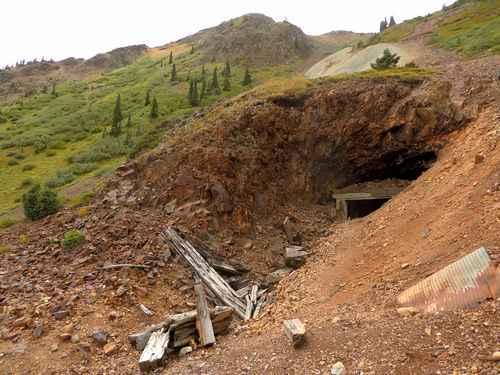
Champion Mine was in operation until about 1940. The main shaft was 250 ft. deep with cross-cut shafts 80 to 150 ft. long. The mine produced primarily gold and silver. Several buildings, including an assay office, boarding house, blacksmith shop, pump house and president's cottage, made up a small company town called Phoenix. The 10-stamp press at the mill is worth the hike.
Status Reports
West Magnolia can be accessed by the following ride types:
- High-Clearance 4x4
- SUV
- SxS (60")
- ATV (50")
- Dirt Bike
West Magnolia Map
Popular Trails

Blair Mountain - FR601
Prospect Gulch
Ophir Creek Road
Red Mountain Trail
The onX Offroad Difference
onX Offroad combines trail photos, descriptions, difficulty ratings, width restrictions, seasonality, and more in a user-friendly interface. Available on all devices, with offline access and full compatibility with CarPlay and Android Auto. Discover what you’re missing today!