Rim Road East
Total Miles
55.3
Technical Rating
Best Time
Spring, Summer, Fall
Trail Type
Full-Width Road
Accessible By
Trail Overview
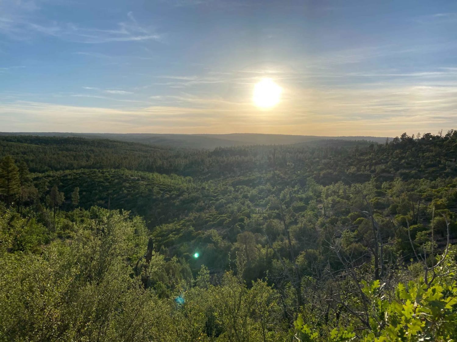
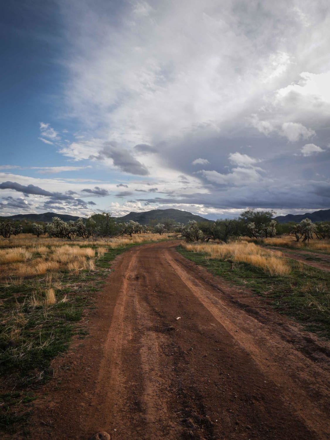
Like Rim Road West, Rim Road East offers tremendous views from atop the Mogollon Rim. Where RRW is passable by all vehicles, Rim Road East is slightly more technical due to erosion and will require higher ground clearance if traveling in a 2WD vehicle. This is an extremely serene route, and although it doesn't have the sheer cliffs like you'll experience on RRW, Rim Road East does offer amazing views of the Sitgreaves National Forest to the North and the White Mountain Apache Reservation to the South. Wildlife is abundant, so take your time with this route and keep an eye out for deer, elk, and maybe a rare glimpse at a black bear. The trail stops at a locked gate as the route enters White Mountain Apache Reservation roughly 2 miles after crossing Hwy 60. As always, be a steward of our public lands and national forests; practice Tread Lightly! principles.**Trail is blocked by locked gate where FS RD 300 passes into White Mountain Apache Reservation roughly 2 miles after crossing Hwy 60.
Photos of Rim Road East
Difficulty
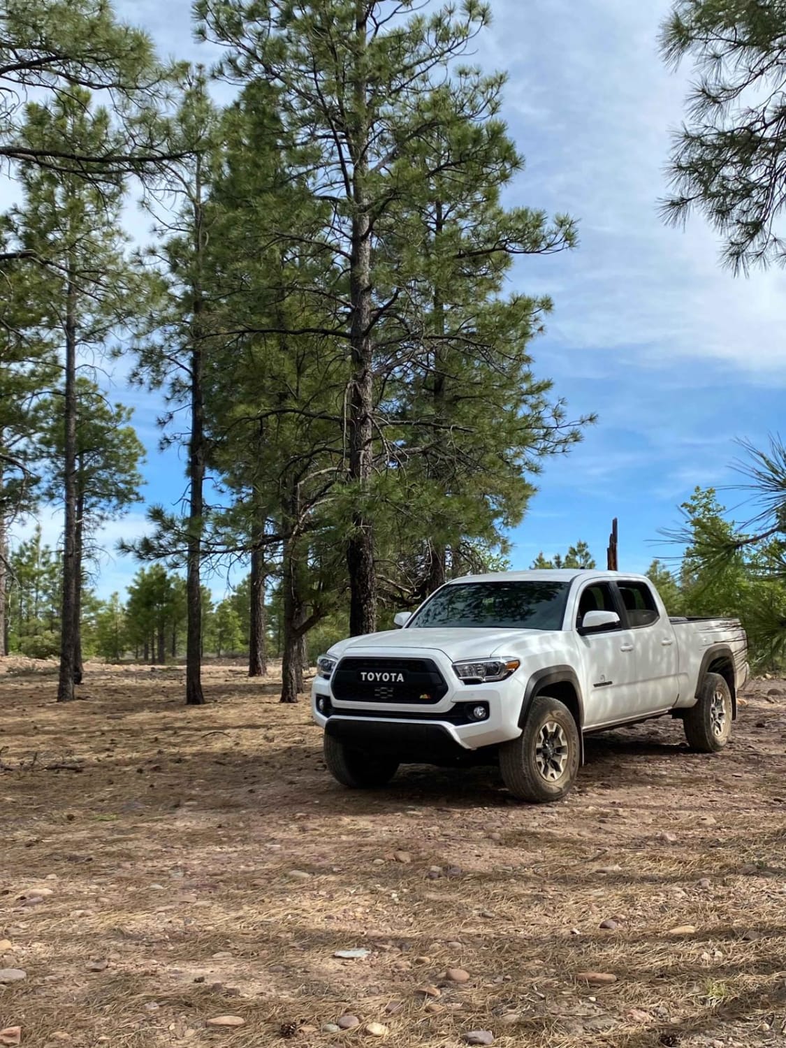
This route is an easy dirt and gravel mix with some small obstacles and washboard sections. Unlike Rim Road West where sedans can easily pass, Rim Road East will require more ground clearance. Make sure to be aware of the weather forecast as rain will likely require 4WD.
Status Reports
Rim Road East can be accessed by the following ride types:
- High-Clearance 4x4
- SUV
- SxS (60")
- ATV (50")
- Dirt Bike
Rim Road East Map
Popular Trails
Marshmallow Canyon-BLM2003
Hovatter Homestead
Mineral Mine Trail
The onX Offroad Difference
onX Offroad combines trail photos, descriptions, difficulty ratings, width restrictions, seasonality, and more in a user-friendly interface. Available on all devices, with offline access and full compatibility with CarPlay and Android Auto. Discover what you’re missing today!
