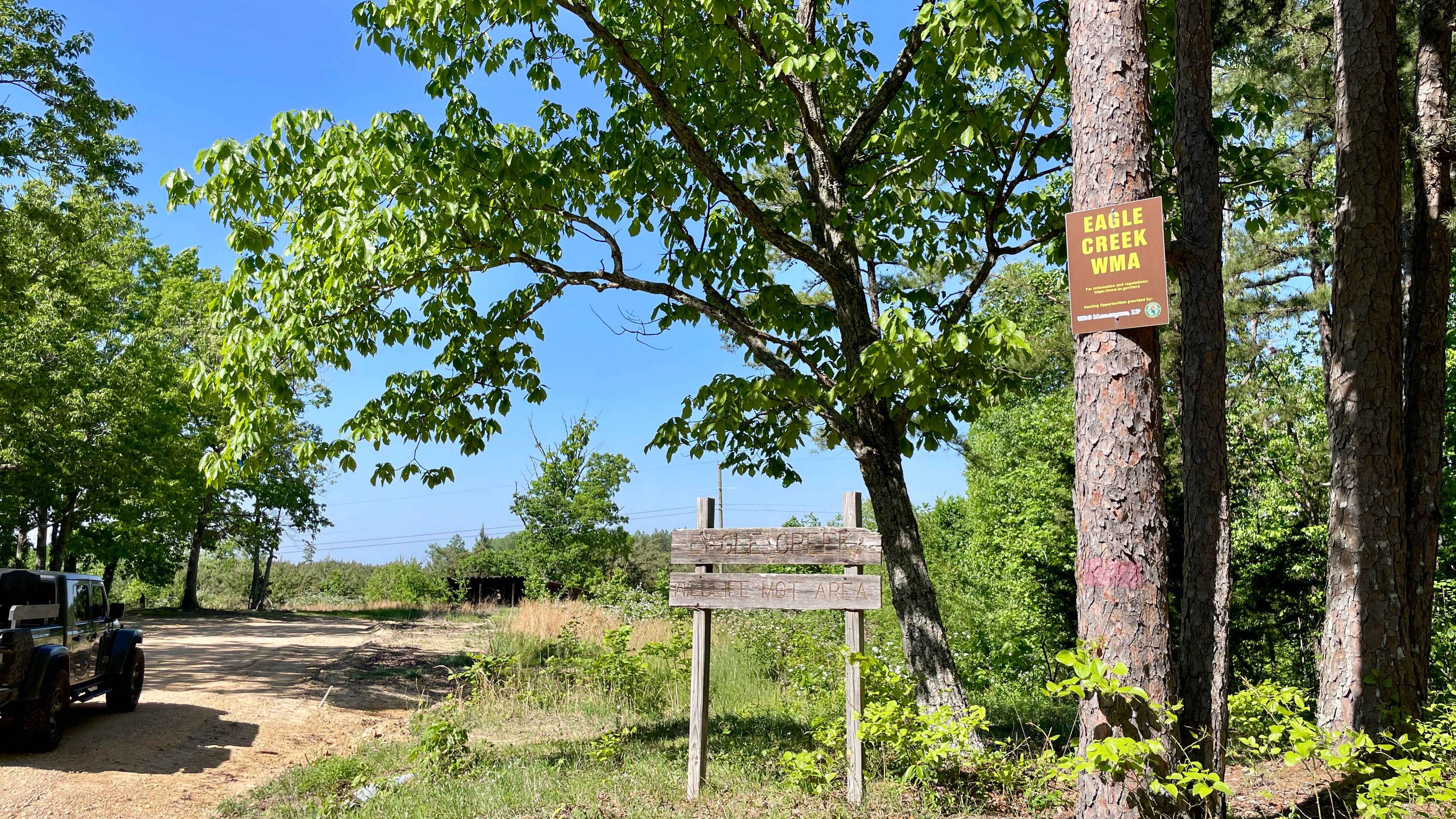
Copeland Ridge Road-Eagle Creek WMA
Total Miles
8.9
Technical Rating
Best Time
Spring, Summer, Fall, Winter
Trail Type
Full-Width Road
Accessible By
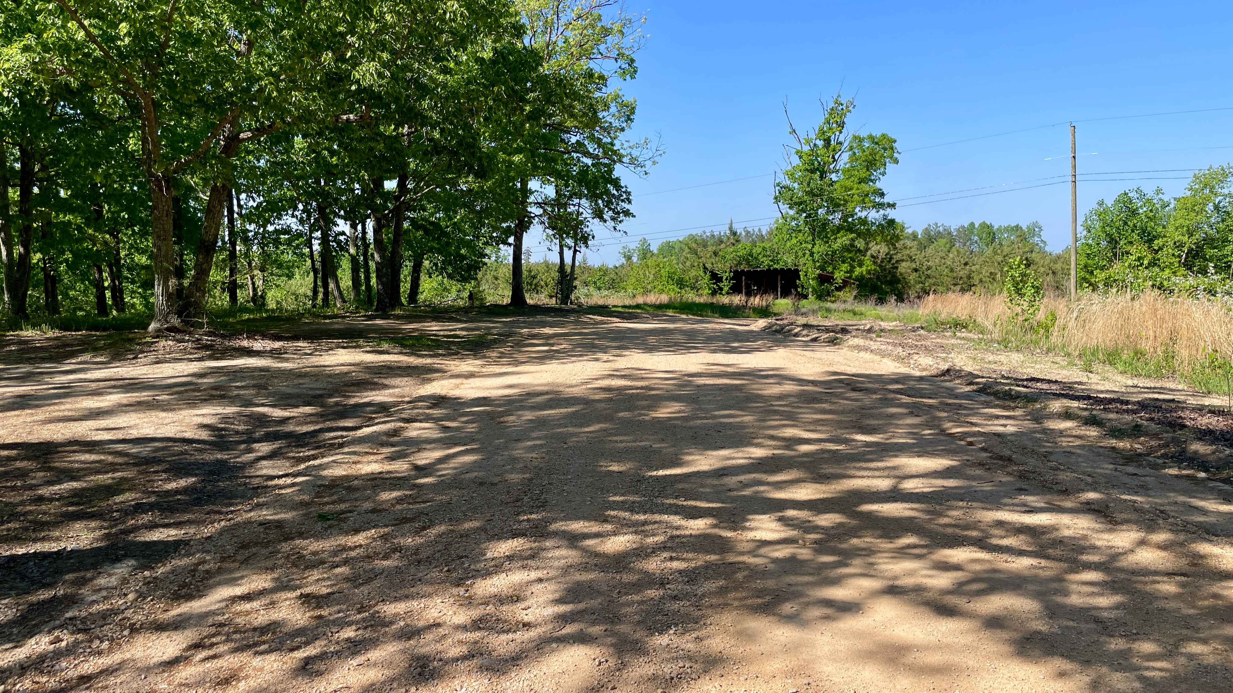
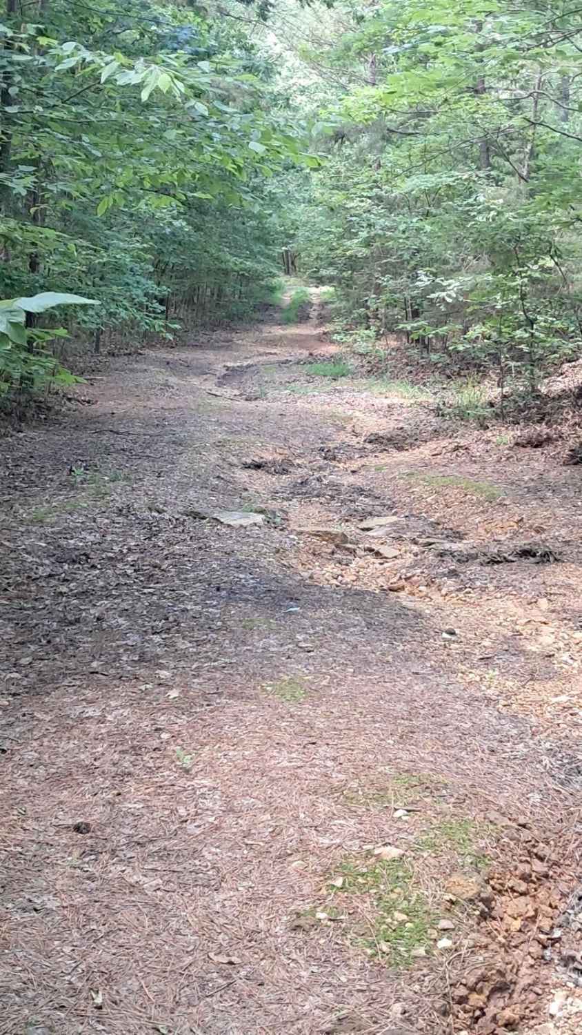
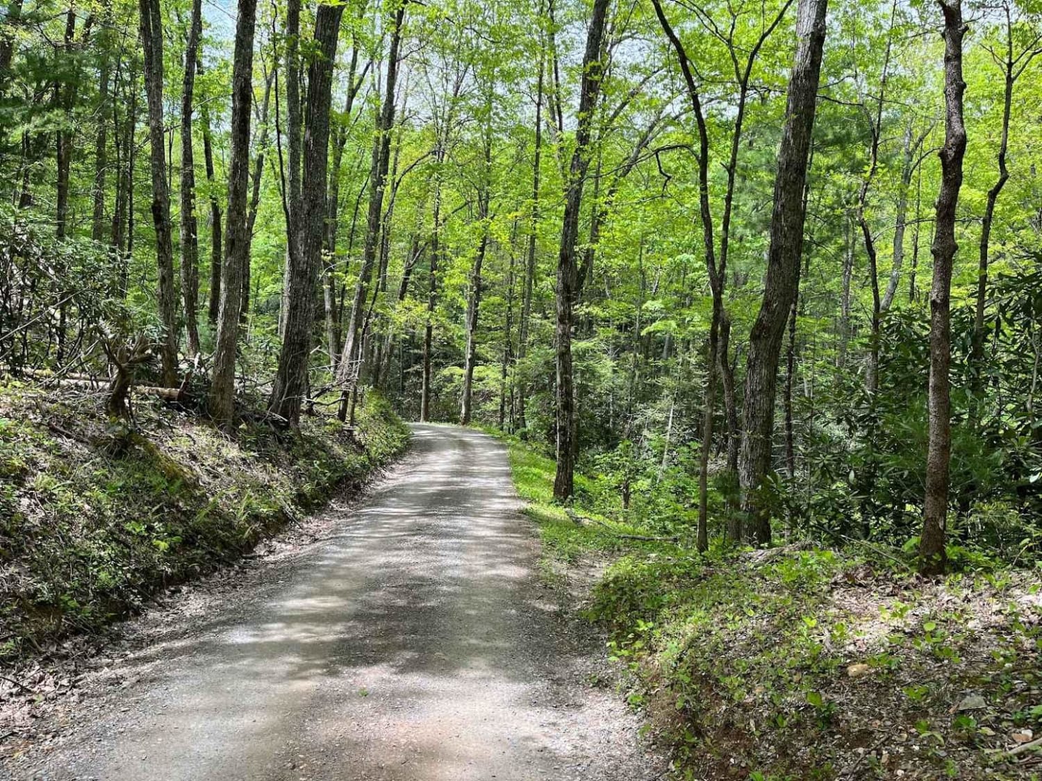
Trail Overview
Access to Eagle Creek Wildlife Management Area requires a valid Tennessee hunting or fishing license and is limited to one-half hour before sunrise through one-half hour after sunset. Street-legal vehicles may use WMA roads with this license, while UTVs and other off-highway vehicles require a High Impact Habitat Conservation Permit. As of current Tennessee Wildlife Resources Agency (TWRA) rates, this permit is approximately $38 annually for residents and around $100 for non-residents, with daily options available. Regulations and permits can be found at tn.gov/twra/hunting/wma.html. Increased traffic should be expected during hunting seasons, and users should operate with awareness, as WMAs are managed primarily for hunting and fishing. Copeland Ridge Road is a primary ridge-running route within Eagle Creek WMA and serves as a main corridor through this section of the trail system. The route follows the high ground through managed pine forest with numerous spur roads branching off for additional exploration. Occasional openings provide scenic views across the surrounding ridgelines. The road remains on the ridge with no direct access into hollows or valley floors. Active logging operations and storm damage cleanup from a recent ice event are present in the area. No crews may be present at all times, but large trucks and equipment can occupy the full width of the road. The surface has been recently graded and consists of loose gravel and small rock, which can create a soft, marbly feel in dry conditions. Cell service is limited throughout the area. Traffic is generally light outside of hunting seasons. This is an easy route suitable for stock 4x4 vehicles, with no technical obstacles. Dust can be significant during dry weather, especially with multiple vehicles.
Photos of Copeland Ridge Road-Eagle Creek WMA
Difficulty
Rated Easy. Copeland Ridge Road is a maintained, recently graded gravel route with no technical obstacles. The primary consideration is loose gravel and small rock that can create a soft, marbly surface in dry conditions. Suitable for stock 4x4 vehicles and street-legal SUVs, with increased caution advised in areas of active logging where large trucks may use the full width of the road.
History
There is a historic log cabin erected by TWRA that was once used as the deer check-in station. Across Copelan Road from the cabin is the primitive camping area for hunters, which is first-come, first-served, no sign-in required.
Status Reports
Copeland Ridge Road-Eagle Creek WMA can be accessed by the following ride types:
- High-Clearance 4x4
- SUV
- SxS (60")
- ATV (50")
- Dirt Bike
Copeland Ridge Road-Eagle Creek WMA Map
Popular Trails
Horse Creek
Cheek's Bend Road
Parson Branch Road
The onX Offroad Difference
onX Offroad combines trail photos, descriptions, difficulty ratings, width restrictions, seasonality, and more in a user-friendly interface. Available on all devices, with offline access and full compatibility with CarPlay and Android Auto. Discover what you’re missing today!