Franklin Basin Utah Section
Total Miles
5.6
Technical Rating
Best Time
Spring, Summer, Fall
Trail Type
Full-Width Road
Accessible By
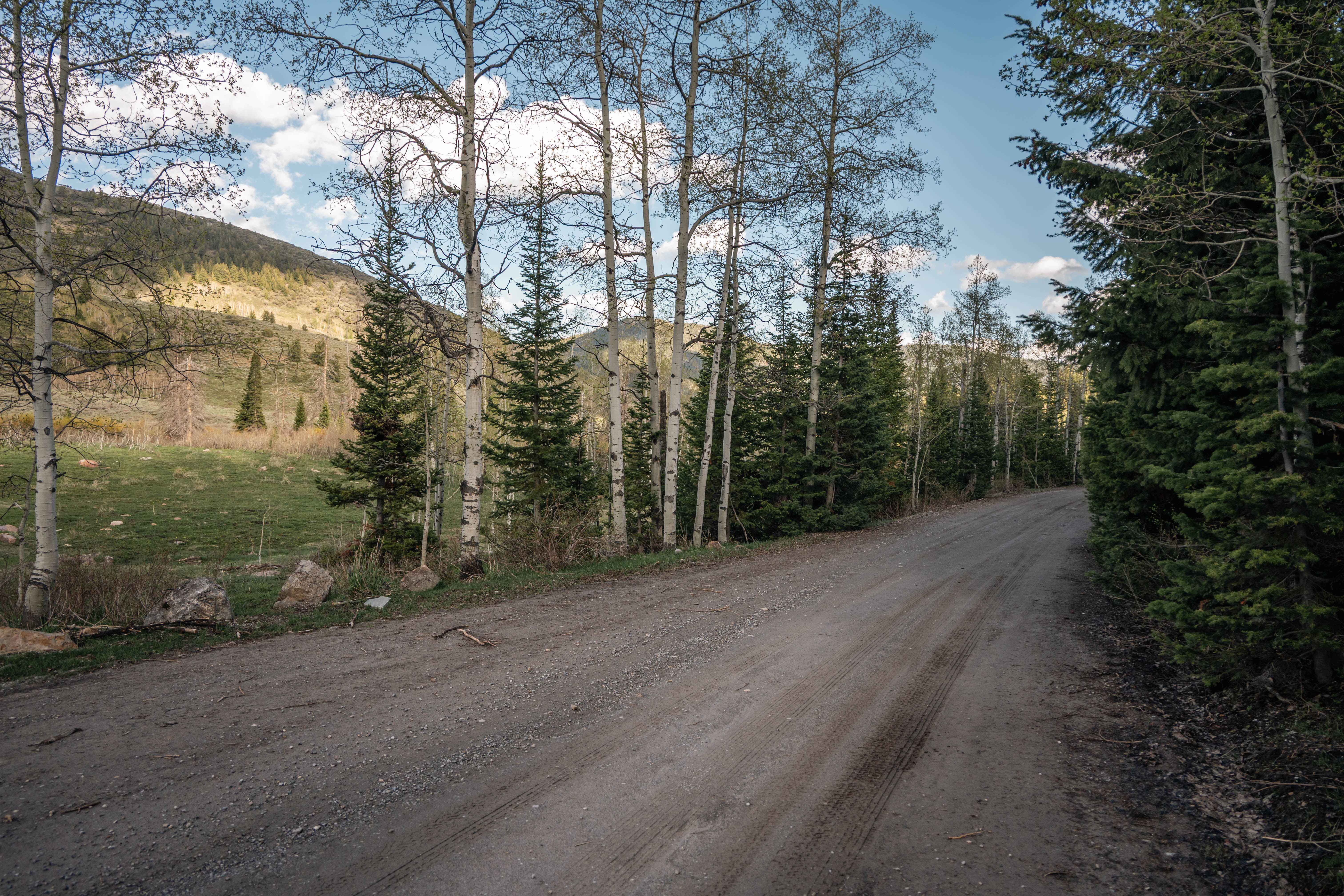
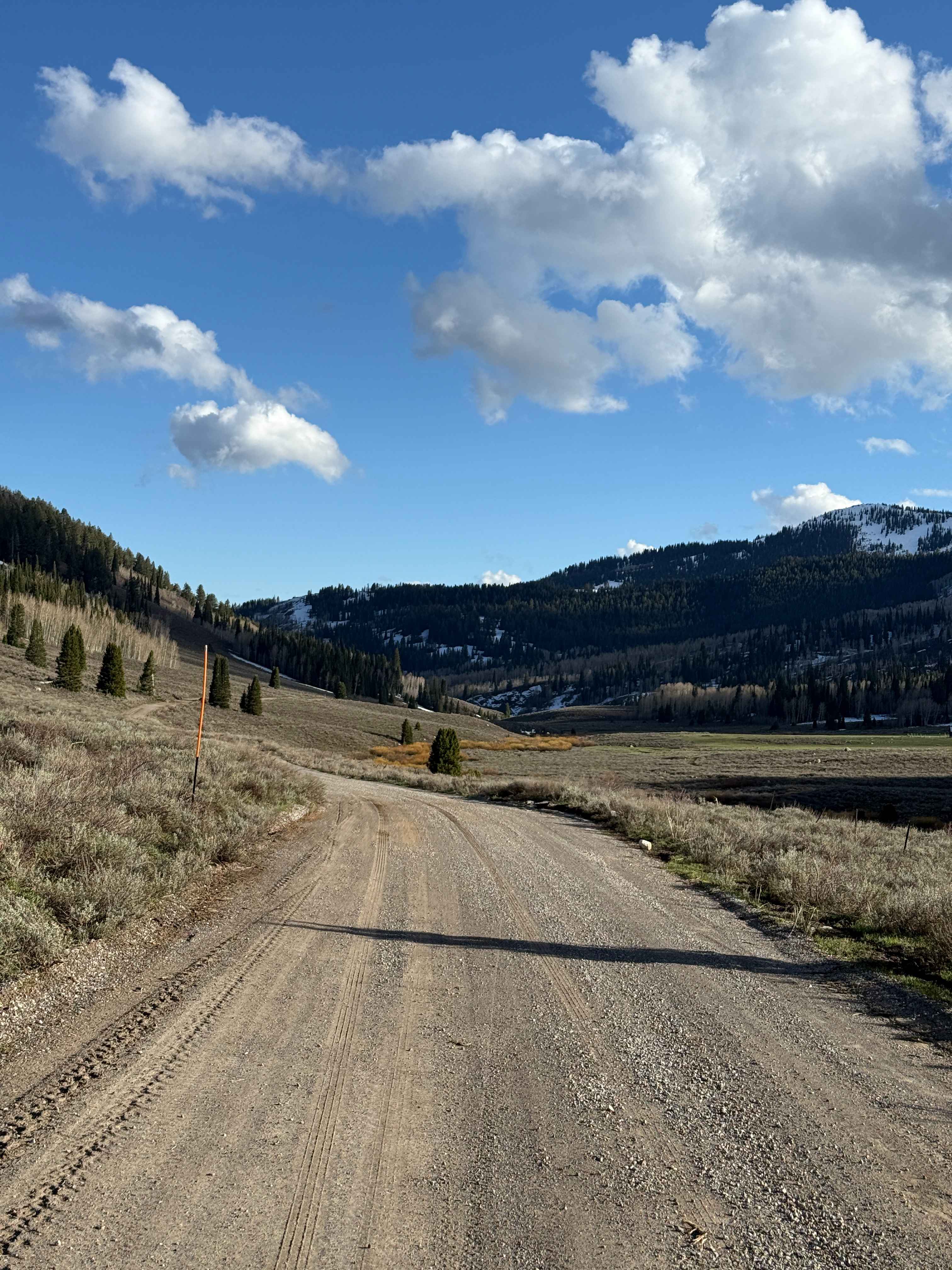
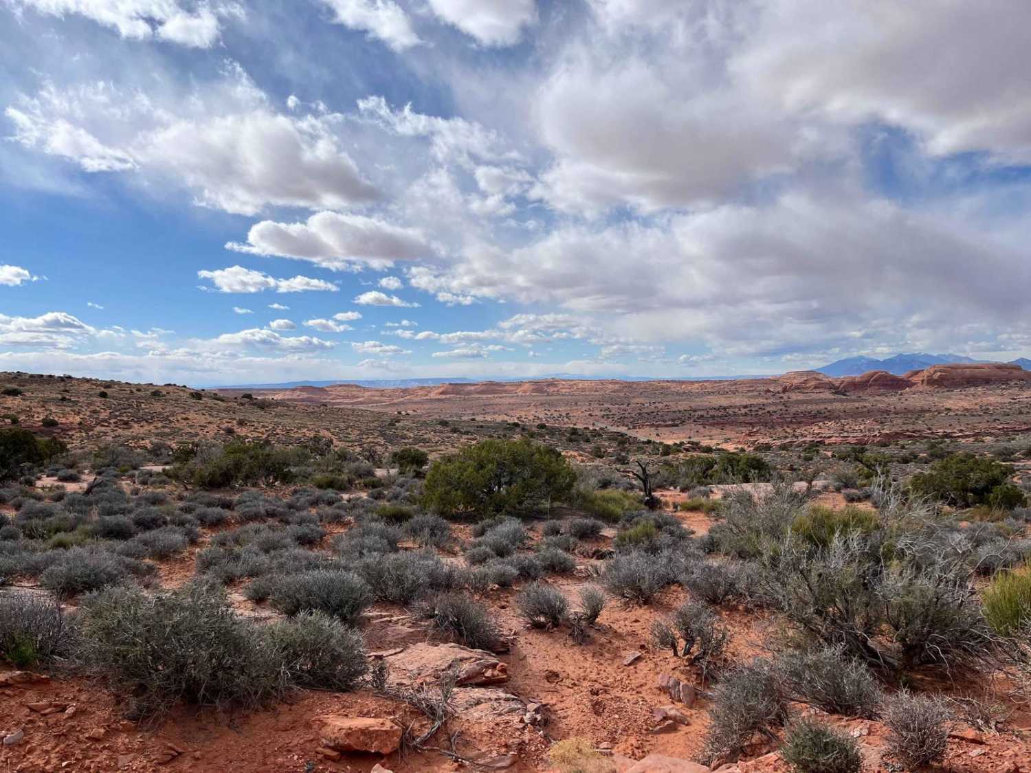
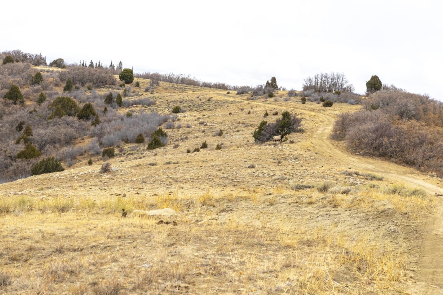
Trail Overview
This is a scenic full-width road that will take you to the Idaho border, where this route continues. As you progress up the basin, you will pass through forests, past the river that winds down the valley, and many campsites along the road. There are places to easily access the river along the route. The road is simple, and most vehicles should be able to make it just fine in dry conditions. The road becomes very slippery when wet, so use caution on some of the windier sections. At the end of the Utah side of this trail, be aware of the private land on either side, as it passes through a section that is not National Forest.
Photos of Franklin Basin Utah Section
Difficulty
Mostly a dirt road with minimal obstacles. There are some rocks under 12 inches tall to watch out for in lower clearance vehicles.
Status Reports
Franklin Basin Utah Section can be accessed by the following ride types:
- High-Clearance 4x4
- SUV
- SxS (60")
- ATV (50")
- Dirt Bike
Franklin Basin Utah Section Map
Popular Trails
Ridgeline Romp
Mushroom Connector
Catamount Road
The onX Offroad Difference
onX Offroad combines trail photos, descriptions, difficulty ratings, width restrictions, seasonality, and more in a user-friendly interface. Available on all devices, with offline access and full compatibility with CarPlay and Android Auto. Discover what you’re missing today!