Glorieta Baldy
Total Miles
15.1
Technical Rating
Best Time
Spring, Summer, Fall
Trail Type
Full-Width Road
Accessible By
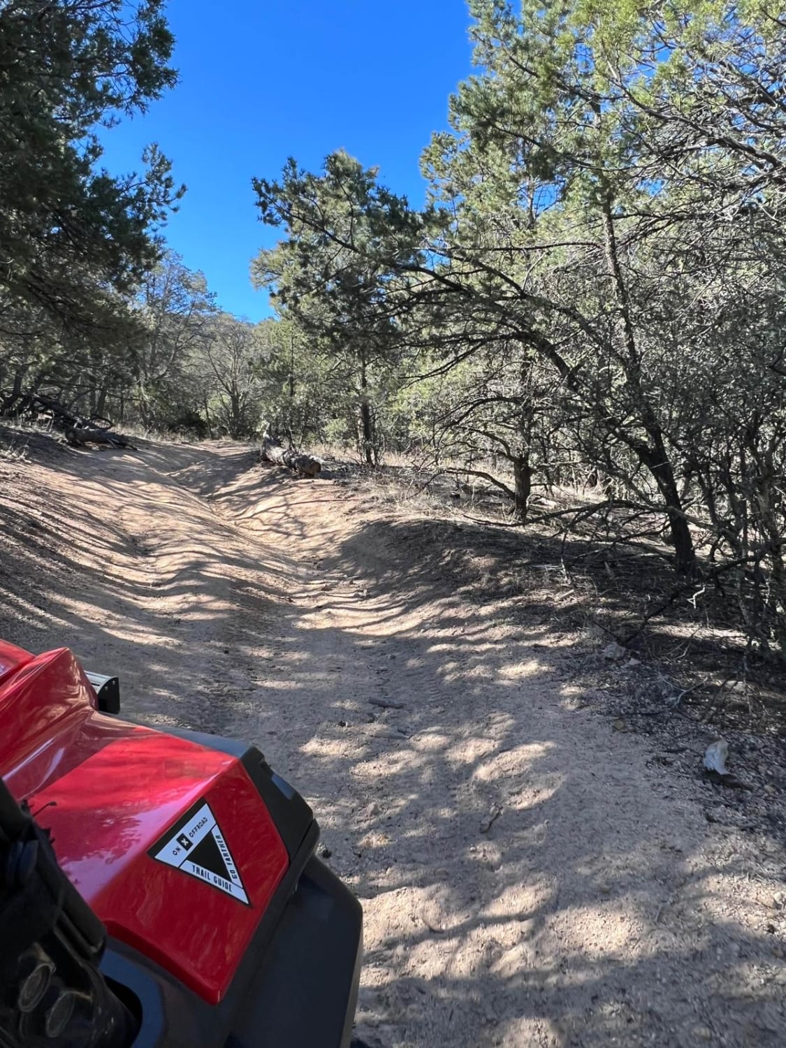
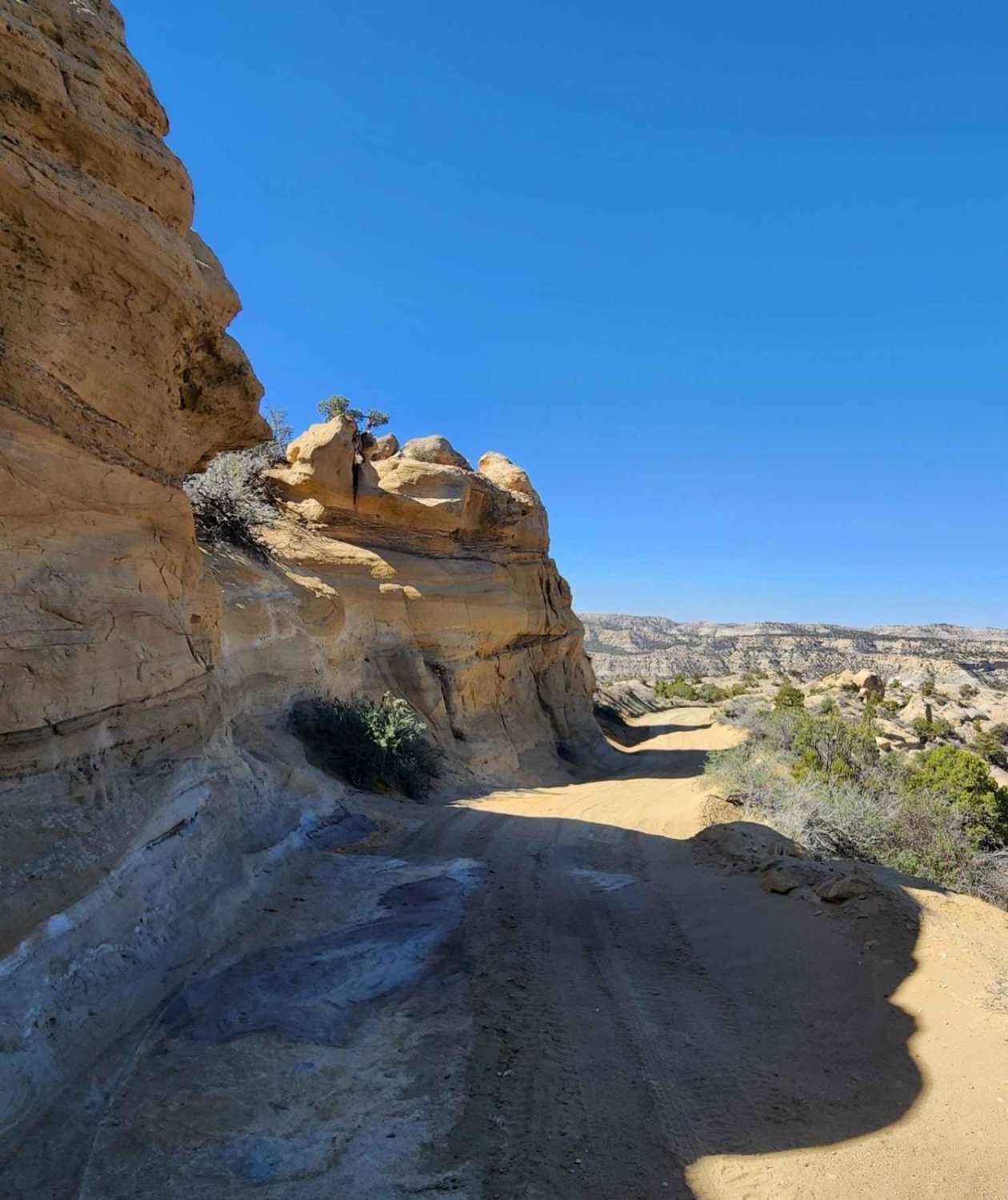
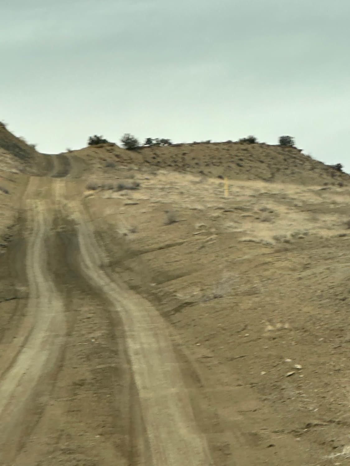
Trail Overview
Glorieta Baldy is a trail on the South end of the Pecos Mountain area featuring numerous camp sites and an expansive view of the Pecos/Glorieta area. The trail starts at the back of a neighborhood on La Cueva road, and ascends Glorieta Baldy from there. The first half of the trail is open, with wide roads and a gentle slope. This section shows evidence of fire, with reduced tree cover and undergrowth. Once the trail crosses an old stream bed, the route ascends to the baldy through a pine forest, with occasional aspens and extensive wildflowers. At the top there is an old fire lookout tower, along with a view point with picnic tables and vault toilets.
Photos of Glorieta Baldy


Difficulty
The trail is not difficult, but does have a couple of steeper sections that would make me hesitate about taking a Subaru or other AWD vehicle with a CVT up this trail. Additionally, during monsoon season the clay like dirt can get slippery very quickly. Its mostly a 2 until the creek bed, and then escalates somewhat from there.
Status Reports
Glorieta Baldy can be accessed by the following ride types:
- High-Clearance 4x4
- SUV
- SxS (60")
- ATV (50")
- Dirt Bike
Glorieta Baldy Map
Popular Trails

Laborcita Canyon
FS 4033 F Continental Divide Trail access
Glade North - Upper Mesa Trail
South Pipeline Road
The onX Offroad Difference
onX Offroad combines trail photos, descriptions, difficulty ratings, width restrictions, seasonality, and more in a user-friendly interface. Available on all devices, with offline access and full compatibility with CarPlay and Android Auto. Discover what you’re missing today!