Cedar Ridge NF-1690
Total Miles
3.9
Technical Rating
Best Time
Spring, Summer, Fall
Trail Type
Full-Width Road
Accessible By
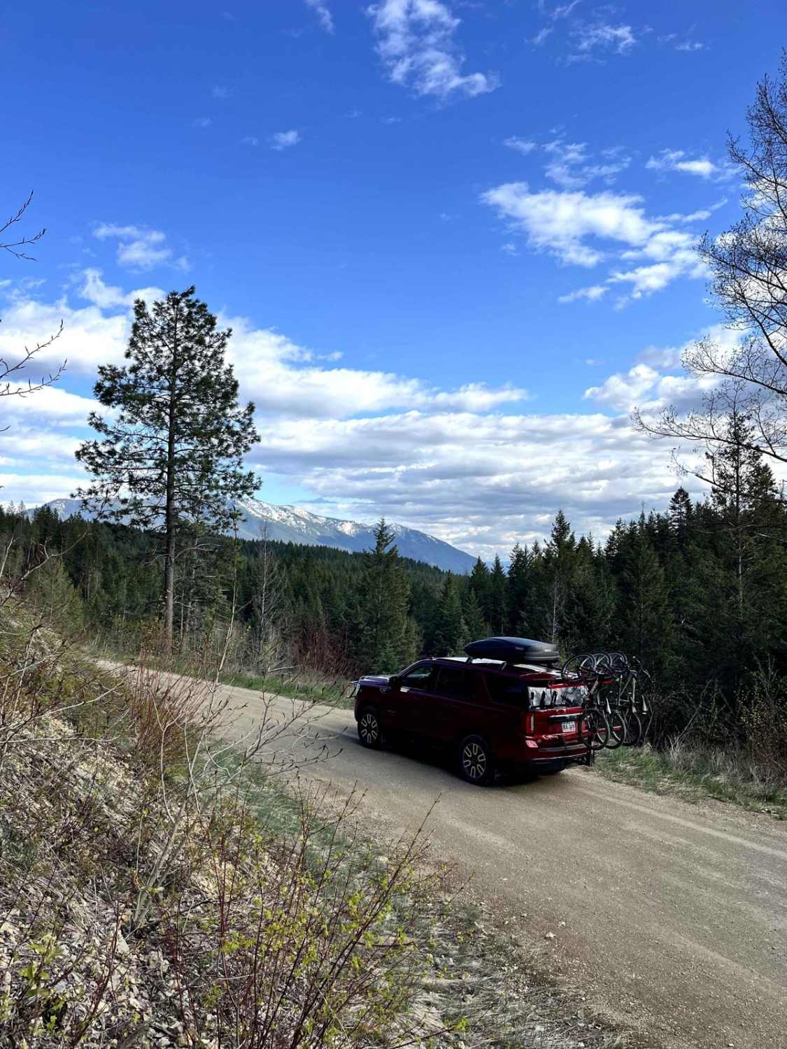
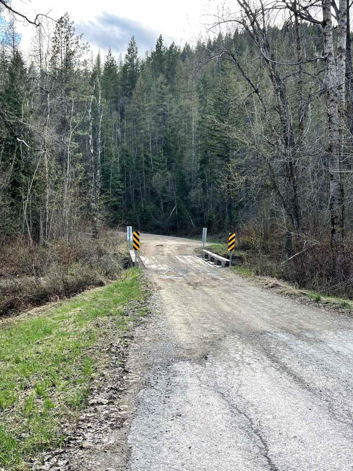
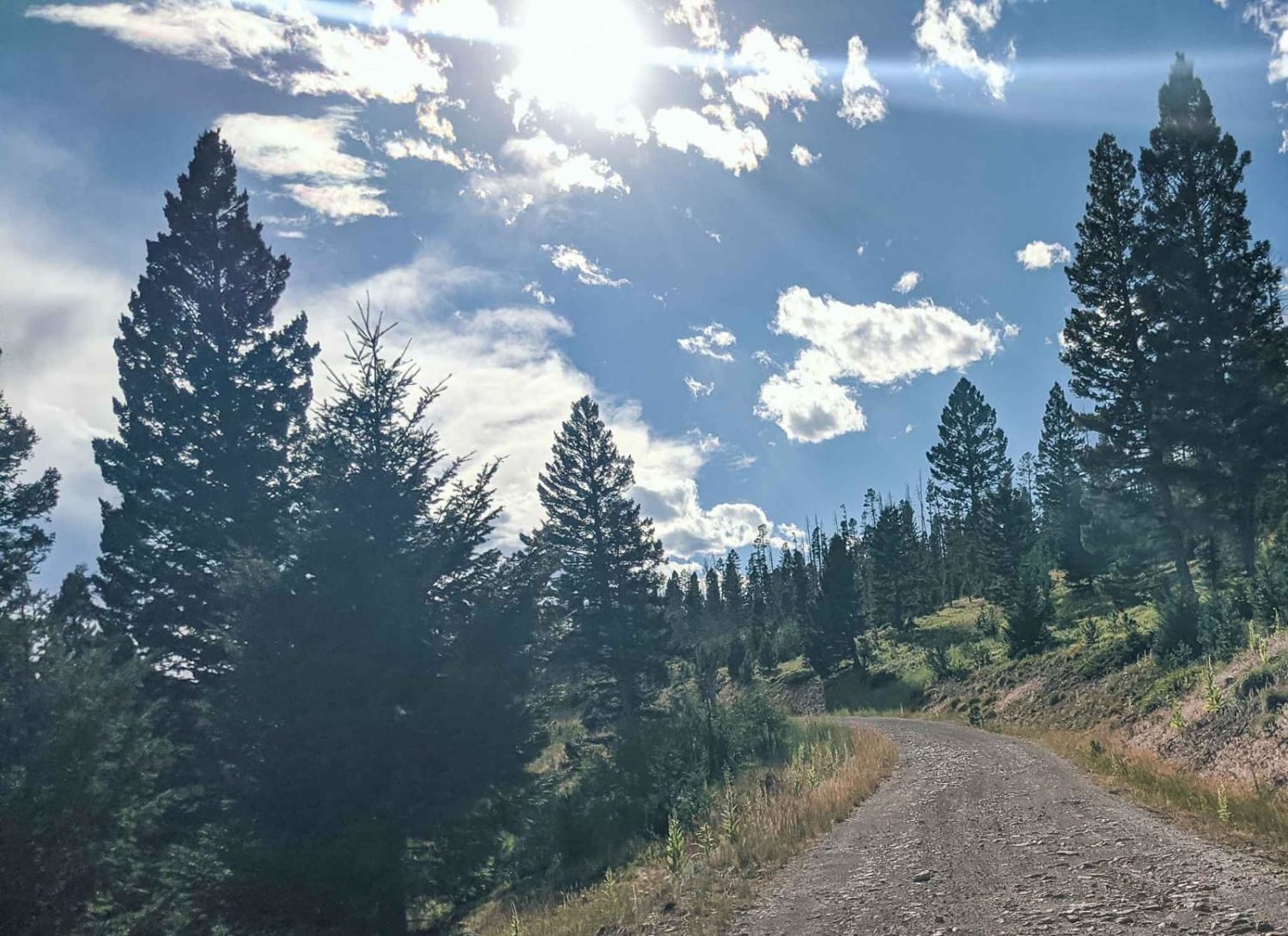
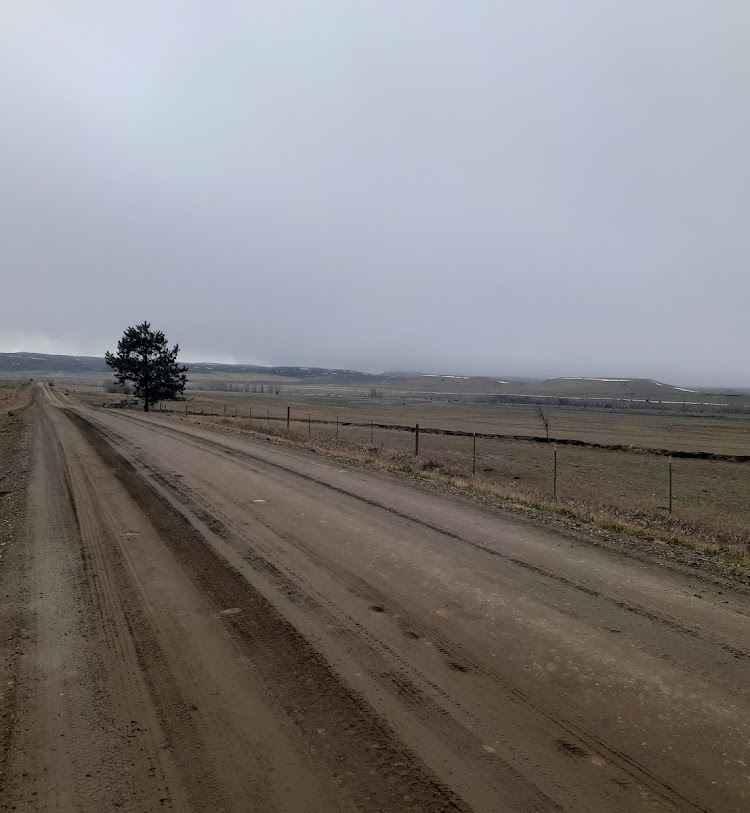
Trail Overview
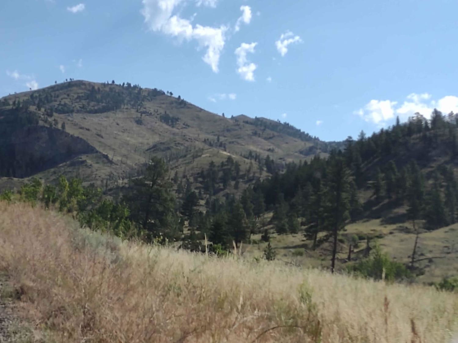
Cedar Ridge NF-1690 is an easy 4x4 trail located north of Columbia Falls, Montana, and is accessed directly from N Fork Road. The gravel surface is generally smooth, with a few potholes and occasional standing water. The route winds through forested terrain alongside a small creek and includes several scenic shelf road sections overlooking the Flathead Valley. About three dispersed campsites are found along the way, along with a few popular target shooting spots. The trail dead-ends just under 4 miles in at a set of concrete barriers.
Photos of Cedar Ridge NF-1690
Difficulty
This trail is very easy to navigate with any vehicle as long as there is no snow on the ground.
Status Reports
Cedar Ridge NF-1690 can be accessed by the following ride types:
- High-Clearance 4x4
- SUV
- SxS (60")
- ATV (50")
- Dirt Bike
Cedar Ridge NF-1690 Map
Popular Trails

Bemish Ridge - FS 7583
Elliston Spotted Dog
Stillwater River Road
The onX Offroad Difference
onX Offroad combines trail photos, descriptions, difficulty ratings, width restrictions, seasonality, and more in a user-friendly interface. Available on all devices, with offline access and full compatibility with CarPlay and Android Auto. Discover what you’re missing today!